
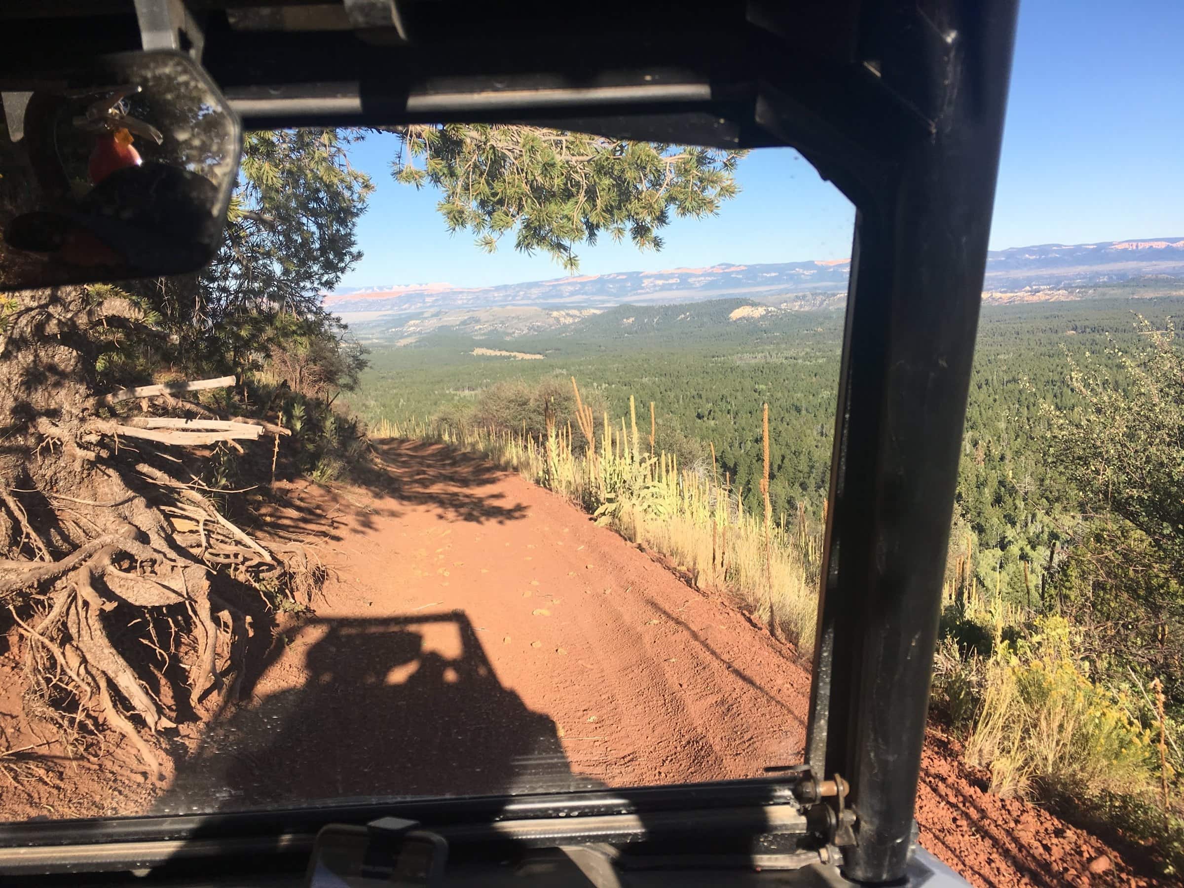
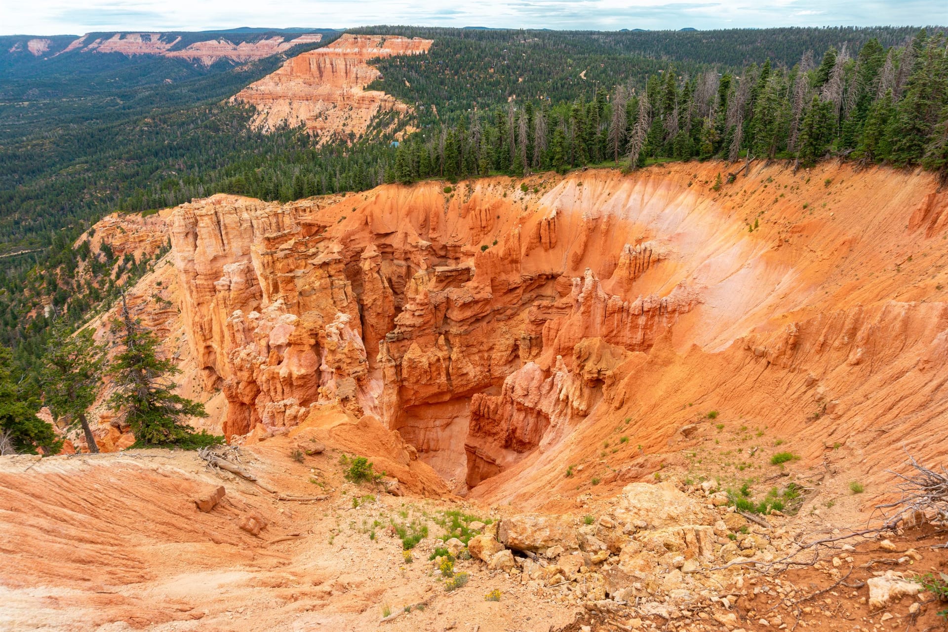
Can you ride an ATV to Mammoth Cave?
Yes. Forest Service spur 46 Mammoth Cave is a six-mile designated spur off the Trail 4 Tommy Creek Loop that ends at the cave. Park at the mouth and walk in; the passage is not for machines.
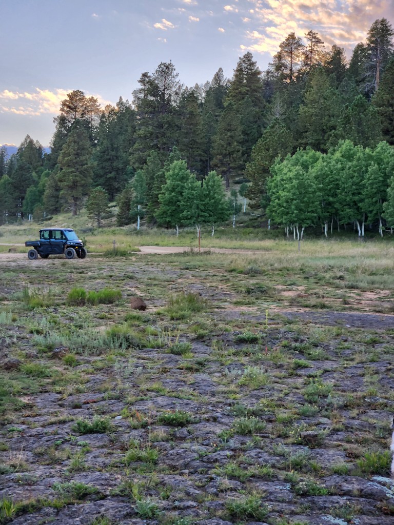
Ride from the inn
A full day: the lava tube, Mammoth Springs, and the knoll in one 44-mile loop
One digit is a loop; two digits is a spur of that loop (52 branches off Loop 5).
The Mammoth Cave & the Tommy Creek Loop route from the inn, traced from the official 2019 Markagunt OHV System map. Tap a marker for the trail number.
This is the big day out from the village. The Forest Service Trail 4 Tommy Creek Loop is just under 17 miles on its own; ridden from our lot with its best spurs it becomes a 43.6-mile loop with about 4,600 feet of total climbing between roughly 7,760 and 8,730 feet. You get Mammoth Cave, a lava tube with more than 2,200 feet of passage at about 8,050 feet; Mammoth Spring at the end of its own short spur; and, if there is daylight left, the two-mile climb up Henrie Knolls.
Mammoth Cave is the anchor. Spur 46 Mammoth Cave is a six-mile spur that ends at the cave; the main passage is walkable but dark, cold, and uneven, so bring two lights per person and a jacket. Portions of the cave are closed from October to April for hibernating bats. Fuel up before you leave (the village pump is the only one), pack lunch, and start early: at ten miles an hour plus stops this is five to seven hours, and monsoon storms build by early afternoon in summer.
7 legs, 43.6 miles loop. Every ride starts and ends in our parking lot.
Fuel first at Loose Wheels / Phillips 66 on Movie Ranch Road, then pull out of our lot and follow the village OHV routes (spurs 52 and 59). Village streets are 15 mph and transit only.
The route meets SR-14 east of the village. If your machine is not street legal you may only cross the highway: stop, yield to traffic, and cross at a right angle. Street-legal side-by-sides may ride SR-14 itself under Utah Code 41-6a-1509, but nothing on this ride needs it. The routed line touches pavement for about a tenth of a mile in total, all of it crossings.
Pass Uinta Flat, the free designated dispersed camping area, and join the Forest Service Trail 4 Tommy Creek Loop. Follow the markers with a 4; the loop is just under 17 miles on its own.
Spur 46 Mammoth Cave is a six-mile spur that ends at the cave. Park at the mouth, switch on two lights per person, and walk the main passage with a jacket; the lava tube holds more than 2,200 feet of passage at about 8,050 feet.
Back on Trail 4, the loop runs north to spur 41 Mammoth Spring, under three miles to the spring. This is the low end of the day and a good lunch stop.
The loop passes the turn for spur 42 Henrie Knolls, a two-mile climb up the northernmost cinder cone with the Pink Cliffs on the horizon from the descent. Skip it if storms are building or you are behind schedule.
Trail 4 and the forest roads bring you south past Lava Flat and through the lava field to the village. Recross SR-14 with the same stop-and-yield rule and roll back to our lot. 43.6 miles as ridden from the inn.
Best time: A long June or September day, starting by eight. In July and August start earlier still and plan to be off the knoll by early afternoon. The cave's bat closure runs October to April.
Rules in full, including permits, helmets and the highway crossing law, are on our rules and safety page. Rentals and packing are on rentals and tips.
What guests ask at the front desk before they head out.
Yes. Forest Service spur 46 Mammoth Cave is a six-mile designated spur off the Trail 4 Tommy Creek Loop that ends at the cave. Park at the mouth and walk in; the passage is not for machines.
Two lights per person, a jacket (the lava tube stays cold at about 8,050 feet), and shoes with grip for uneven rock. Parts of the cave are closed October to April to protect hibernating bats.
Our routed version with the Mammoth Cave, Mammoth Spring, and Henrie Knolls spurs is 43.6 miles. At about ten miles an hour plus stops, plan on five to seven hours and a full tank.
You can ride out spur 46 and back without finishing the loop, or drive to the cave by car on the forest roads (see our Mammoth Cave guide). The loop is for riders who want the whole day.
September 2026
We ride these routes and send guests out on them all season. The route line, mileage and elevation were traced from the official 2019 Forest Service Markagunt OHV System map and routed by computer, not recorded with a GPS, so treat them as a plan, not a survey. Loop and spur names, mileages and closures come from the Forest Service pages below; the highway crossing rule from Utah Code. Closure orders change: carry the current MVUM and ask at the desk.
Rooms and cabins at Duck Creek Village Inn, trailer parking in our lot, rentals across the street, and the trail a few minutes from the door.