
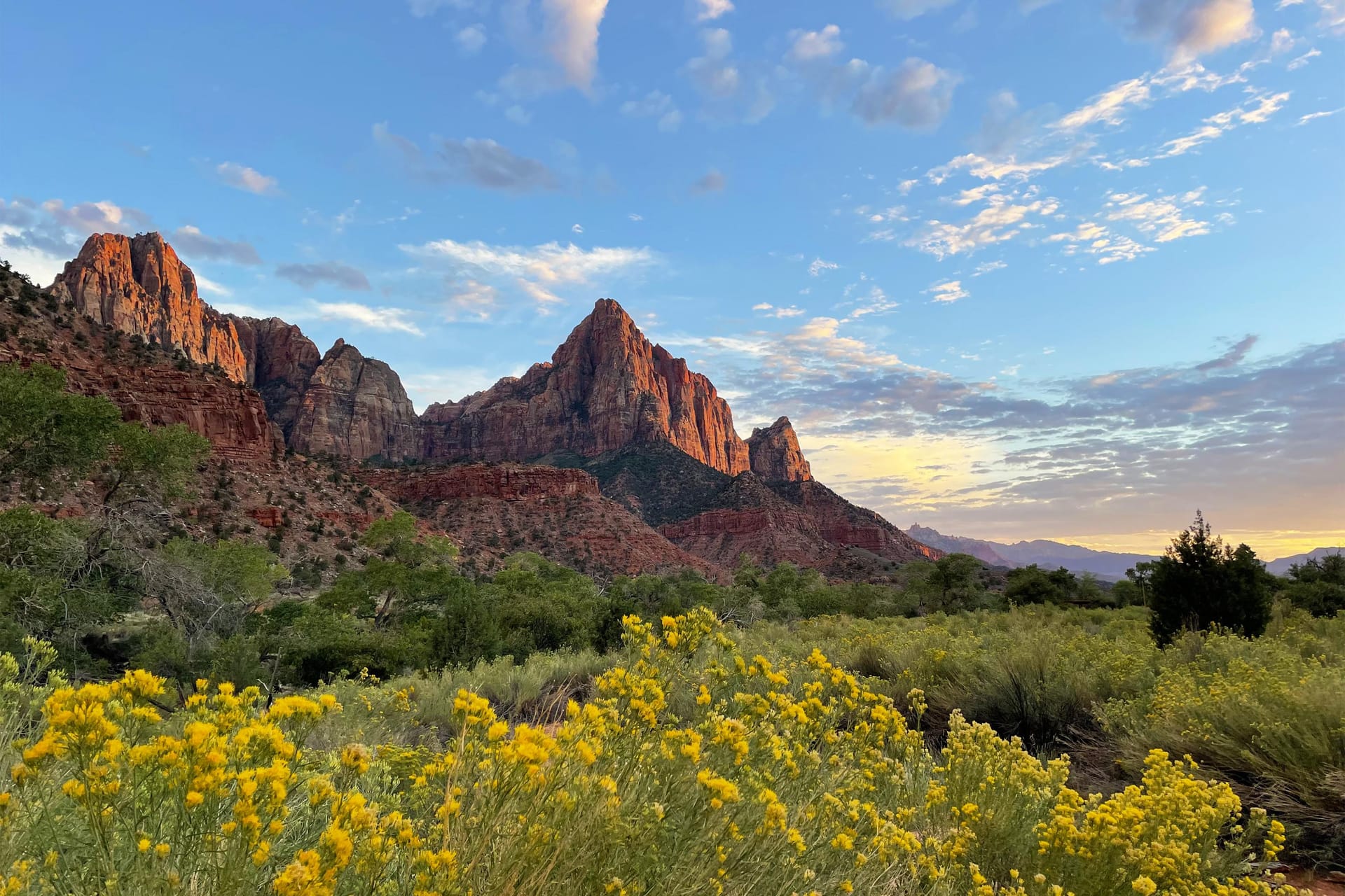
Meilleures randonnees
Randonnees de Zion classees par difficulte, selectionnees pour les excursionnistes venant de Duck Creek
Voir le guide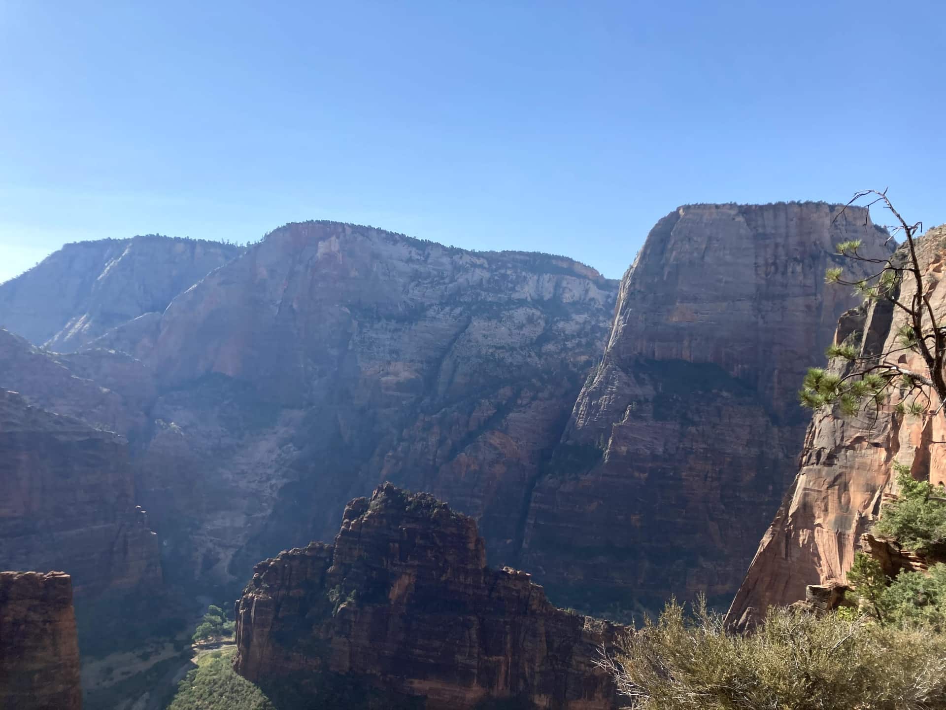
Guide Duck Creek
Itinéraire, stationnement et accès à Zion Canyon
En bref
Prenez l’UT-14 vers l’est jusqu’à l’US-89, puis dirigez-vous vers le sud jusqu’à Mt. Carmel Junction et empruntez l’UT-9 vers l’ouest en direction de Zion. Comptez environ une heure jusqu’à l’entrée est dans des conditions normales, sans les arrêts ni les retards éventuels. Le Zion Canyon Visitor Center ne se trouve pas à cette entrée : pour rejoindre le canyon, il faut encore traverser le tunnel et descendre les lacets.
Entrée est : l’accès habituel depuis Duck Creek pour Checkerboard Mesa et Canyon Overlook lorsque l’UT-9 est ouverte. Vous vous déplacez en voiture entre les arrêts de la partie est. Le parking de Canyon Overlook est petit ; utilisez une place autorisée et prévoyez un autre arrêt s’il est complet.
Entrée sud à Springdale : à côté du Zion Canyon Visitor Center et du principal départ des navettes du canyon. Même en arrivant par l’entrée est, c’est ici que commencent la plupart des visites du canyon. Pour The Narrows, les sentiers menant à Angels Landing ou les autres arrêts du canyon, prévoyez le stationnement, l’attente des navettes et l’horaire du dernier départ.
The green line is the road you will actually drive: Highway 14 down to Long Valley Junction, US-89 south, then SR-9 west through the east entrance and the tunnel. The dotted amber road is the Zion Canyon Scenic Drive, shuttle-only in season. Tap any pin for the note we would give you at the front desk.
The interactive map needs JavaScript. The route is SR-14 east to US-89, south to Mount Carmel Junction, then SR-9 west through the East Entrance and the Zion-Mount Carmel Tunnel.
From the east entrance
Enter from the east and the park arranges itself in a line: the pie stop, the mesa, the overlook, the tunnel, then the canyon. Here are the ten we send guests to, with the distances the National Park Service publishes for each.
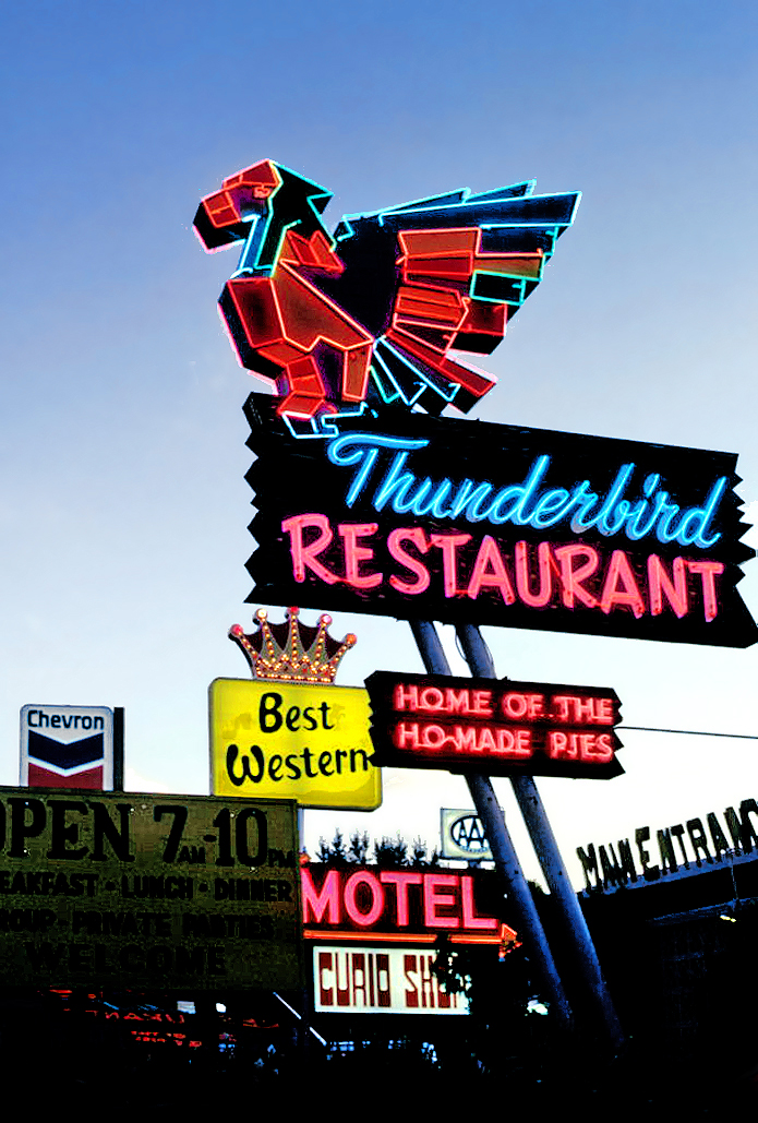
Where US-89 meets SR-9, the Thunderbird and its "Ho-Made Pies" sign have marked the turn toward Zion since the 1930s. It is the last fuel before the park and the easiest breakfast on the route. The Shop Coffee Co. in Orderville, ten minutes earlier, is the other morning stop.
Where to eat around Zion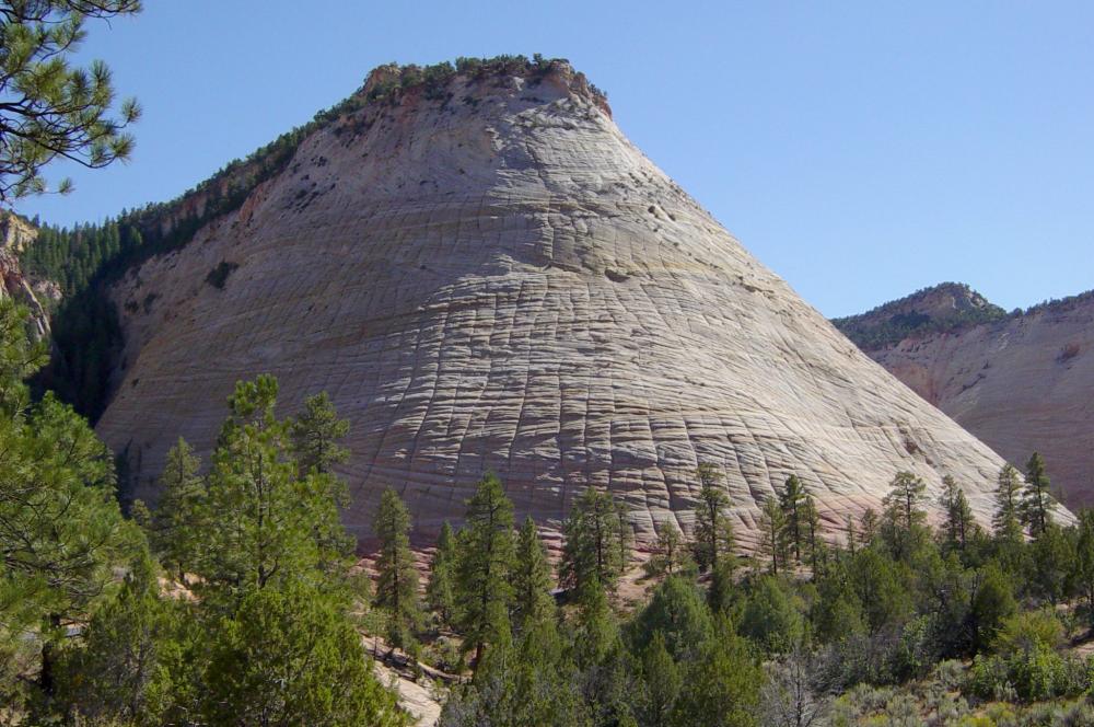
The first thing the park shows you is a dome of Navajo sandstone scored into a grid: horizontal cross-bedding from ancient dunes crossed by vertical fractures. A signed pullout on the right is the place to stop. There is no trail to the top, so treat it as a photograph and a stretch, not a hike.
The east side in detail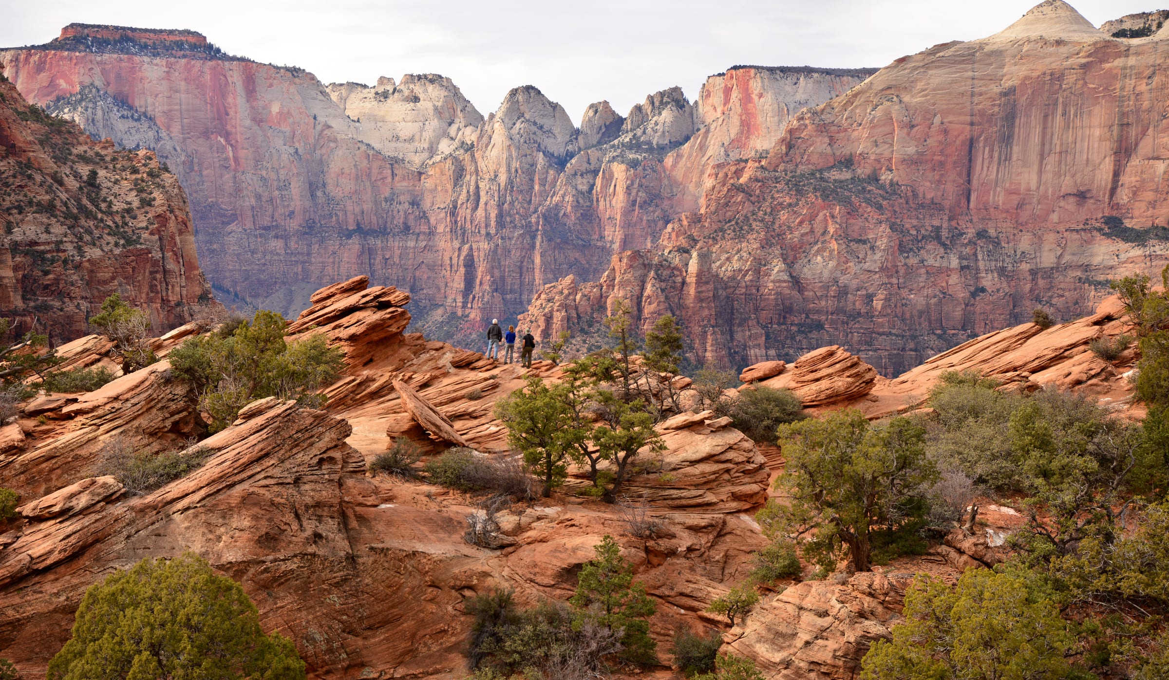
The best view-per-step in Zion starts at the small lot at the tunnel’s east portal, right turns only in and out. Sandstone steps with a handrail climb above a slot canyon, then the trail opens onto slickrock and ends at a fenced ledge facing the Towers of the Virgin. The NPS itself says to be ready to try the lot more than once; arriving from the east at 8 AM usually solves that.
Parking and timing for Canyon Overlook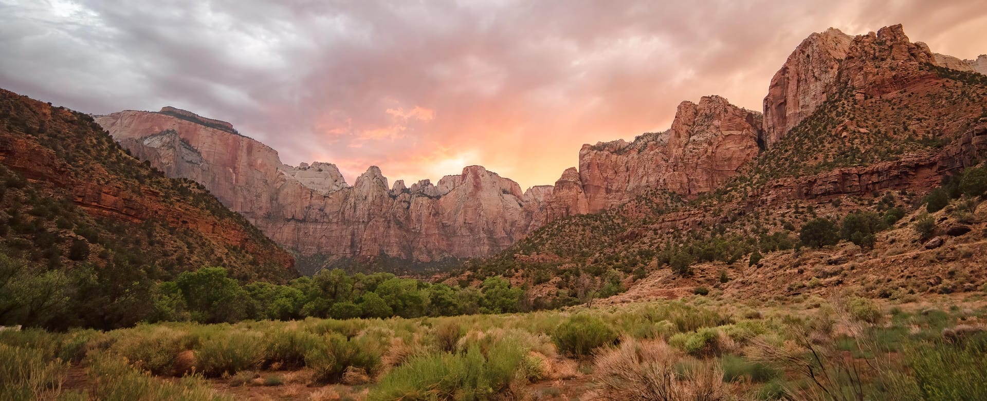
A mile of darkness blasted through the cliff between 1927 and 1930, with gallery windows cut into the canyon side that flash red rock as you pass. Cars, SUVs and pickups drive straight through. Since June 2026 oversize vehicles are banned from the whole highway, so RVs and trailers over the limits must plan a detour.
Tunnel history and the 2026 vehicle rules Pa’rus is Paiute for "bubbling water," and this paved path follows the Virgin River from the visitor center to Canyon Junction with the best views of the Watchman in the park. It is the only Zion trail open to leashed dogs and bicycles, wheelchair friendly, and the NPS names it as a sunset and stargazing spot.
Pour photographier Watchman et la rivière près de Canyon Junction, utilisez les passerelles du Pa’rus Trail. Les piétons sont interdits sur le pont routier de Canyon Junction ; ne vous y arrêtez pas pour une photo.
Lieux recommandés par le NPS pour le lever et le coucher du soleil
All the easy hikes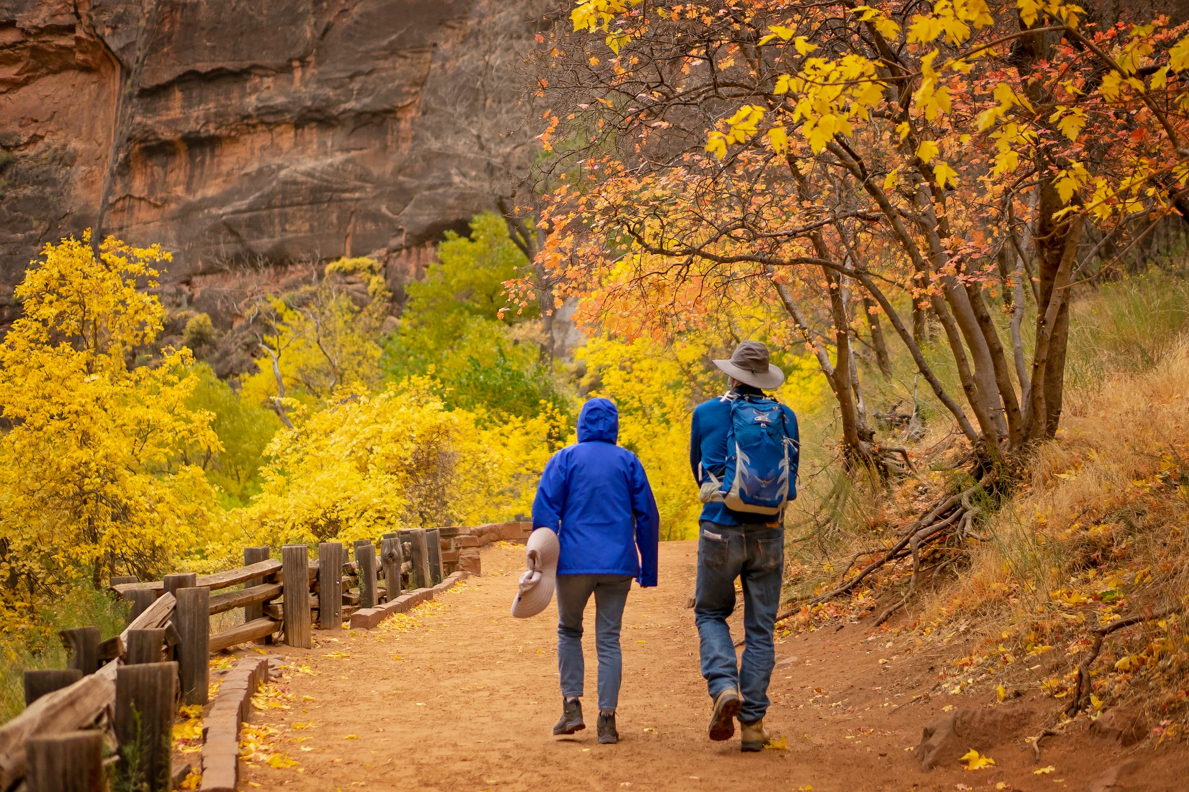
The paved Riverside Walk from the Temple of Sinawava ends at a set of stairs into the river. From there the Narrows is the trail: no permit as far as Big Spring, a strenuous ten miles round trip, and most people are happy with the first hour. The NPS closes it entirely above 150 cfs, which is why the live gauge is on this page.
Gear, flow and how far to go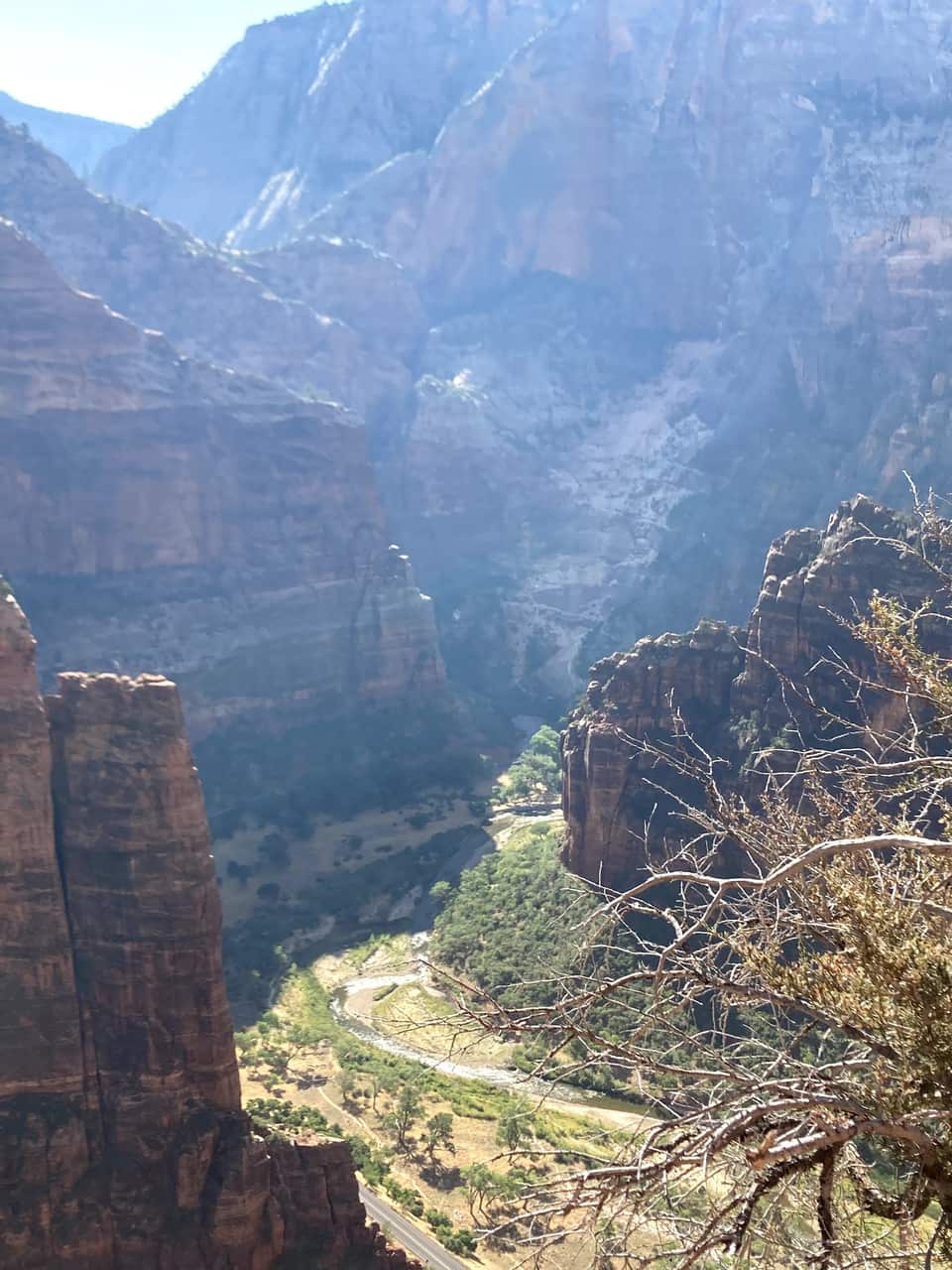
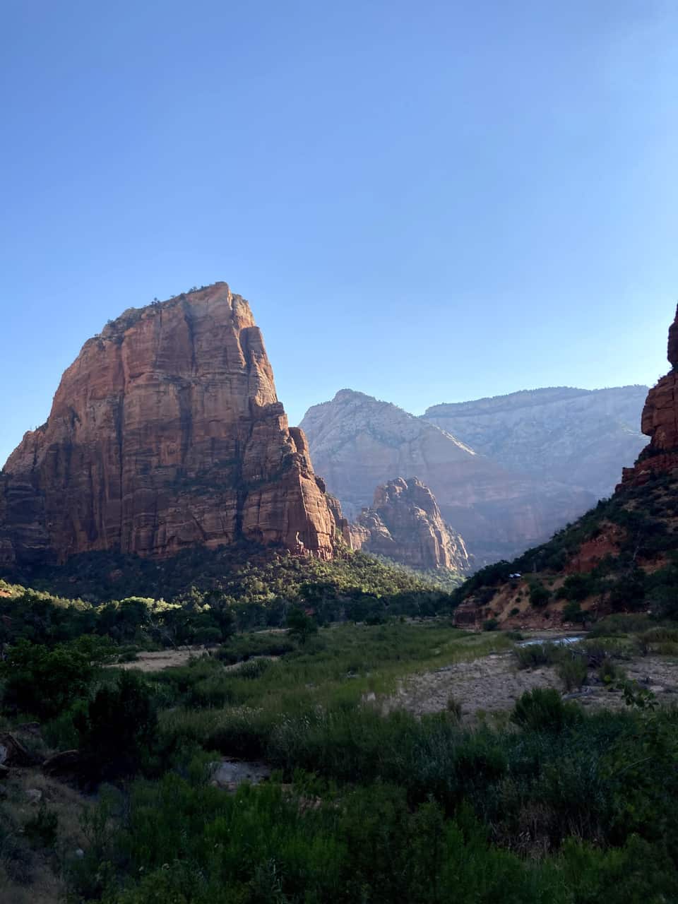
From the Grotto footbridge the West Rim Trail climbs the canyon wall, levels out in the shade of Refrigerator Canyon, then finishes with the 21 switchbacks of Walter’s Wiggles. Scout Lookout sits about a thousand feet above the river with restrooms, condors, and the view in our photos below. Only the final chained ridge to Angels Landing needs a permit.
Angels Landing permits and the lottery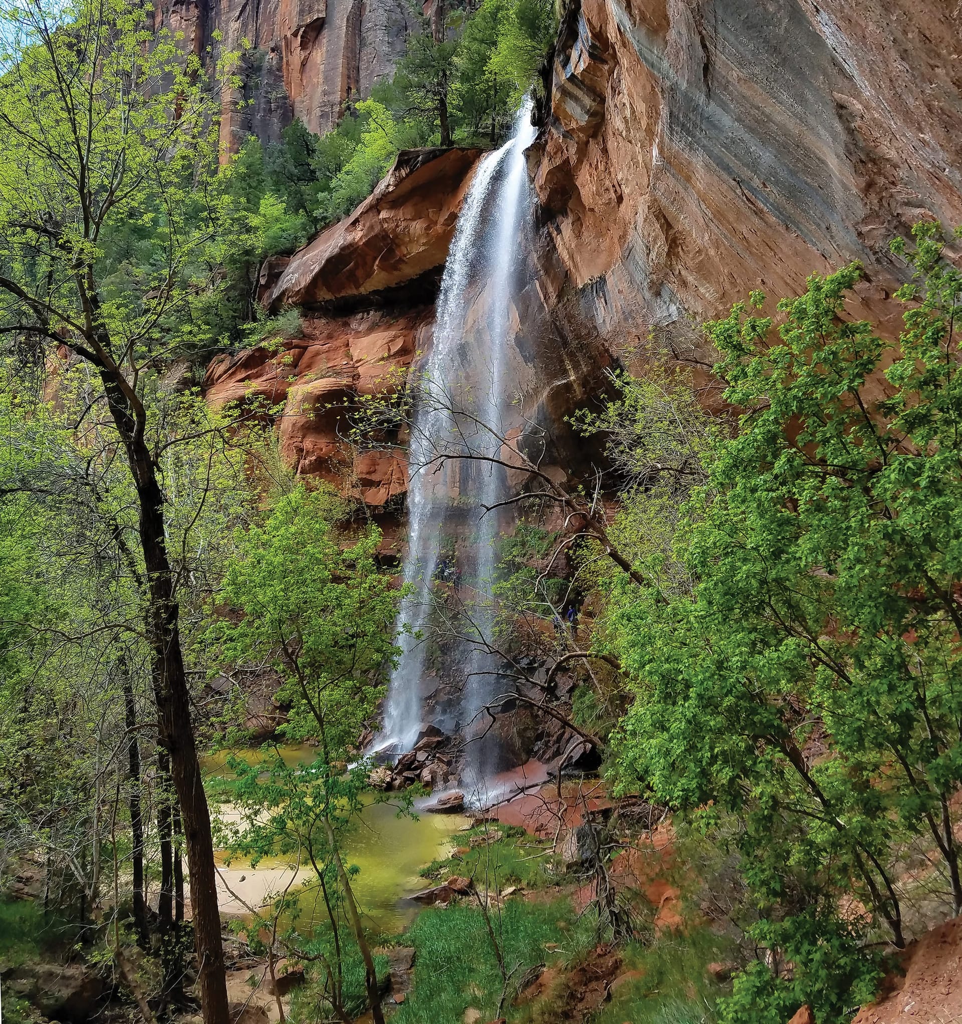
A tiered set of pools fed by seasonal waterfalls, starting across the road from Zion Lodge. The Lower Emerald Pool path is rough-paved and family friendly; the Upper Pool adds stone steps and sand to the base of the cliffs, with Lady Mountain and the Great White Throne in view. The pools are wildlife water, so no swimming.
Moderate hikes compared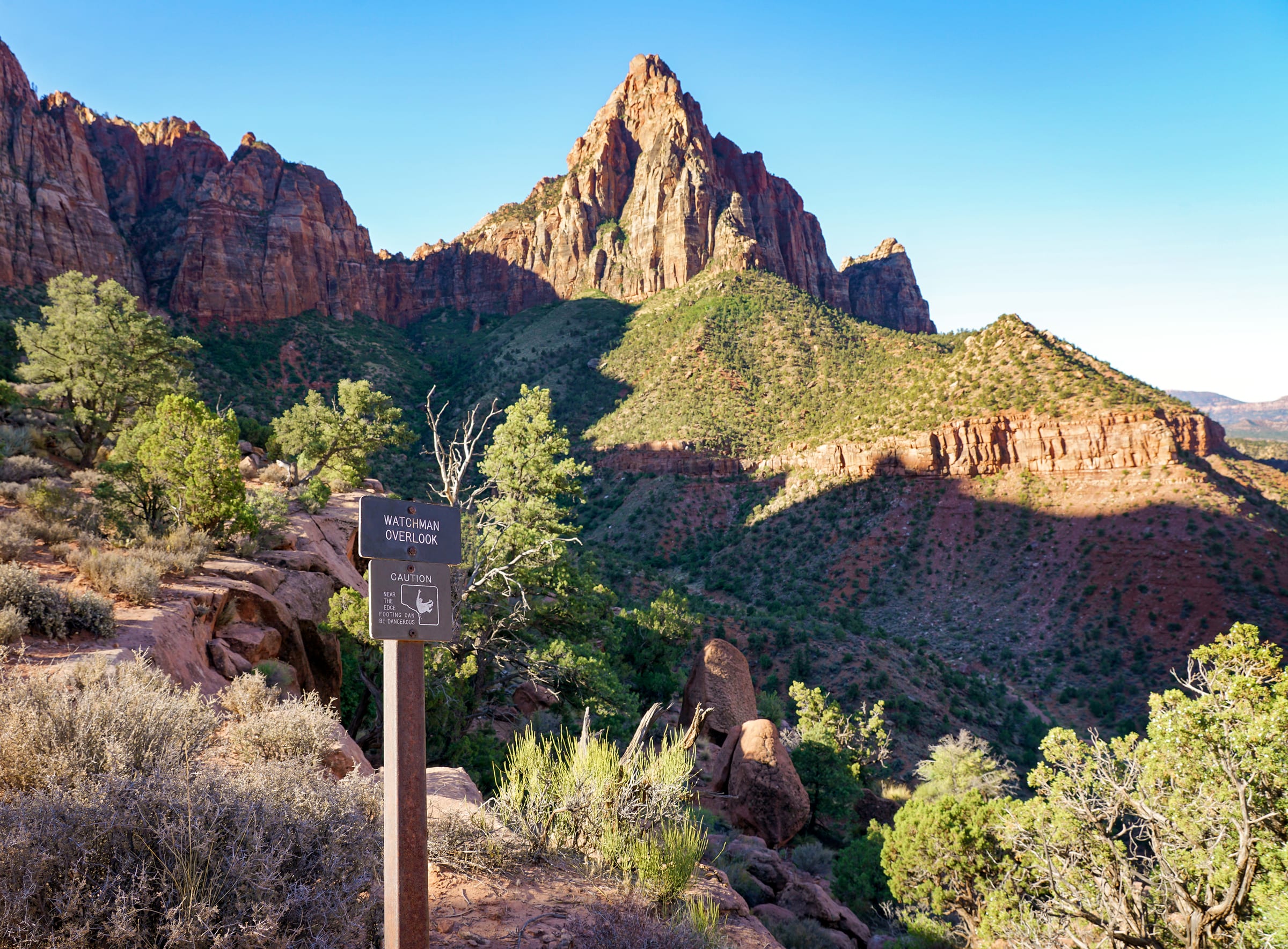
The one canyon hike that starts at the visitor center parking lot, so it works even after the shuttles stop for the day. An unpaved climb to an overlook of the Watchman, the Temples and Towers, and Springdale below, with the late light on the walls that people drive from Las Vegas for.
Watchman Trail details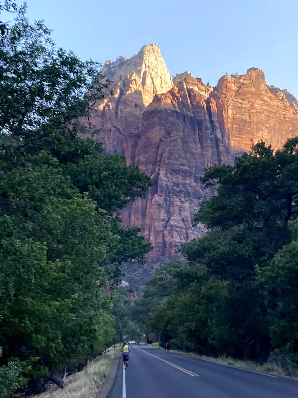
Most cars file out of the park as the light fades. Zion has been an International Dark Sky Park since June 3, 2021, and the NPS points stargazers to the Human History Museum patio and the Pa’rus Trail. Check the moon phase, bring a jacket, and you will have the Milky Way over the Towers of the Virgin.
NPS stargazing guideOur own hike
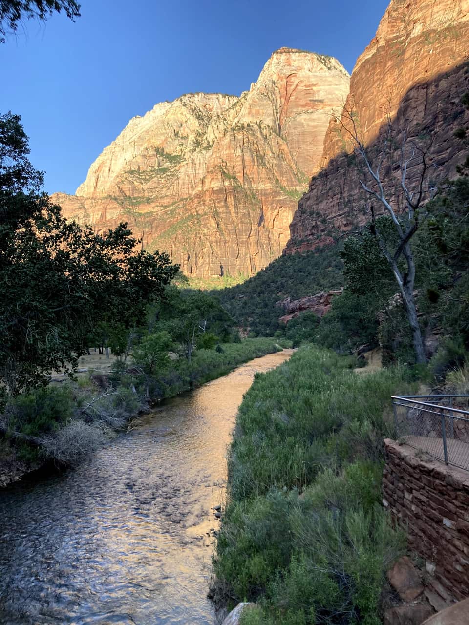
These are our photos, not stock. We left the inn before seven, were on the Zion Lodge road as the sun hit the walls, crossed the Grotto footbridge at eight, and were looking down on the river from Scout Lookout by half past nine. No permit needed for any of it.
The numbers most Zion guides skip
Virgin River right now
USGS did not answer. Check the gauge link and the NPS conditions page before you plan a Narrows day.
The canyon floor and the village are an hour apart and a season apart. The bars show each month's normal daily low to high at both. Plan the canyon for the morning, and expect a jacket on the deck when you get home.
Chaque guide couvre une partie du séjour pour que vous puissiez vous concentrer sur l’essentiel.
Randonnees de Zion classees par difficulte, selectionnees pour les excursionnistes venant de Duck Creek
Voir le guide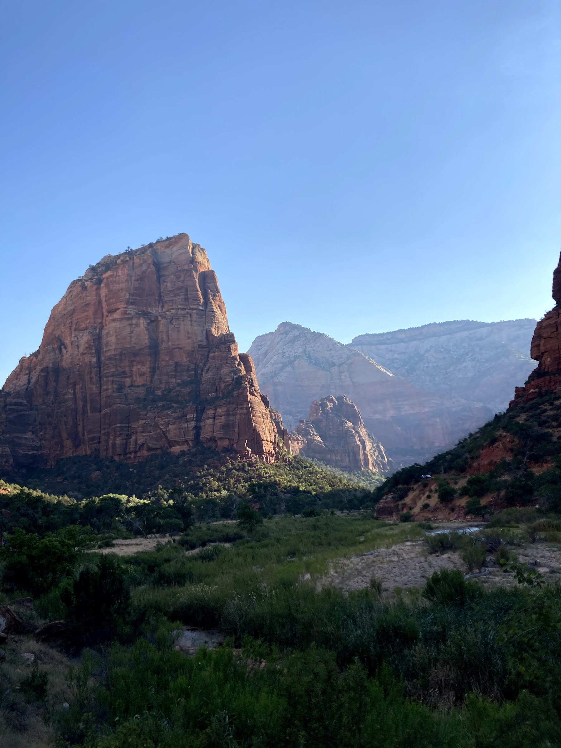
Systeme de permis, details du sentier et conseils locaux pour l’une des randonnees les plus celebres d’Amerique
Voir le guide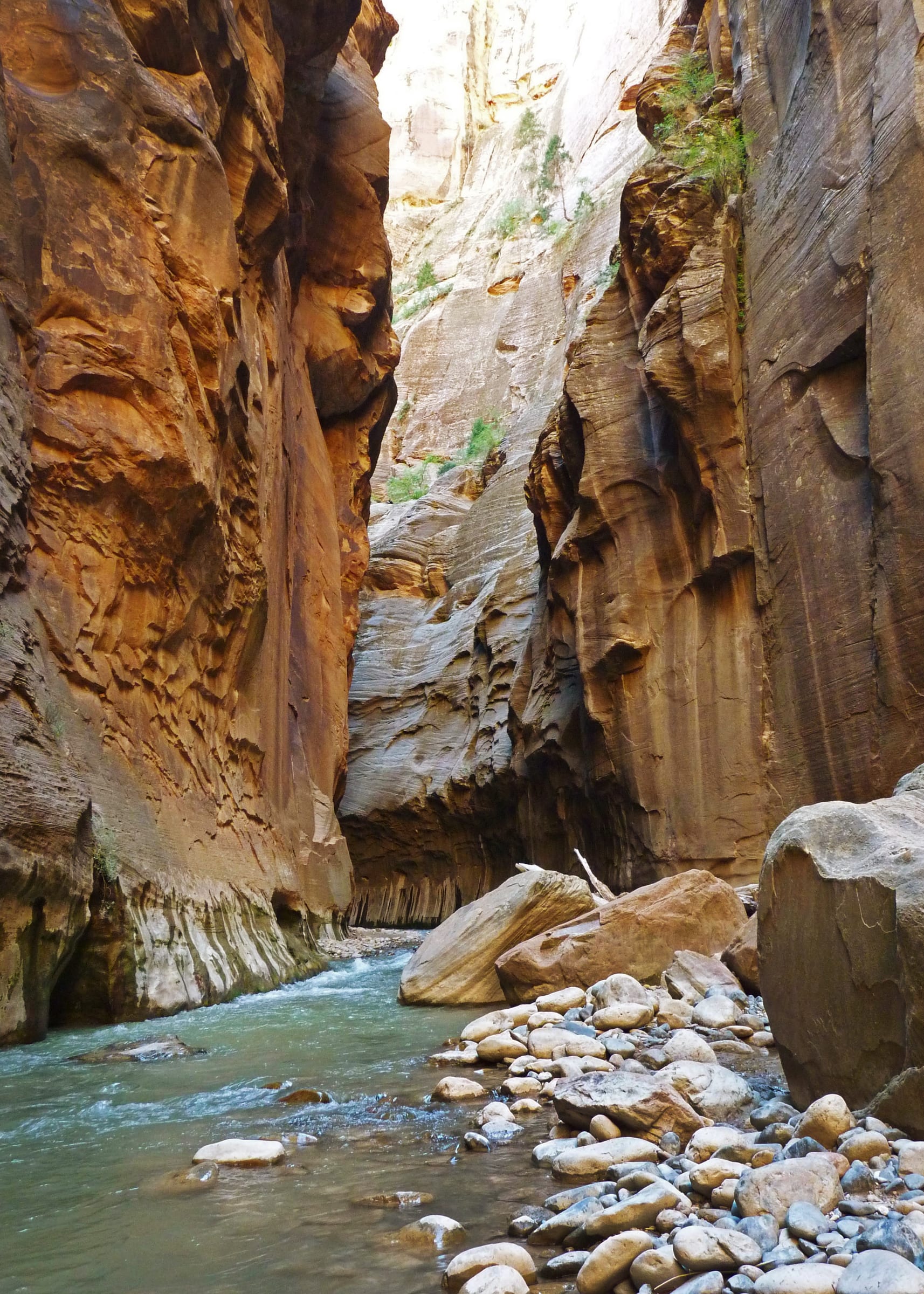
Materiel, conditions et distance a parcourir pour remonter la Virgin River
Voir le guide Pourquoi l’acces par l’est, plus calme, est la meilleure option depuis Duck Creek Village
Voir le guide Ou manger autour de Zion - tarte sur la route est, dejeuner dans le parc et diner a Springdale - avec sites officiels
Voir le guide Alertes, fermetures, horaires et programmes de rangers en direct - directement du National Park Service
Voir le guideZion est ouvert toute l’année, mais chaque saison change l’expérience. Le printemps et l’automne offrent le meilleur équilibre entre températures agréables, foule gérable et accès aux sentiers.
L’été est la saison la plus chargée et la plus chaude - le canyon peut dépasser 100°F, et les files pour la navette peuvent être longues en fin de matinée.
L’hiver est calme et beau, mais certains sentiers sont glacés et The Narrows peut fermer à cause du débit ou du froid.
Depuis Duck Creek, les saisons intermédiaires sont idéales. Vous profitez de matinées fraîches à 8 400 pieds, puis descendez dans le canyon quand la lumière et les températures sont parfaites. En été, partez vers 7 h si possible.
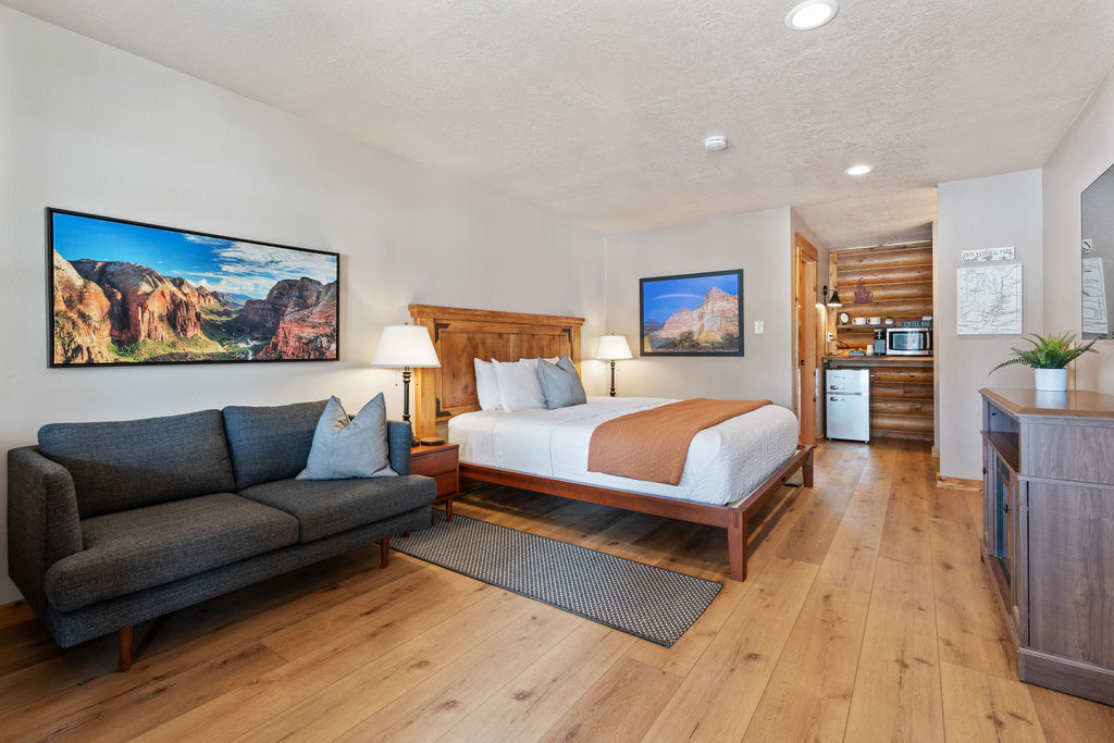
Duck Creek Village convient à un séjour qui combine des journées en montagne avec Zion et Bryce Canyon. Si vous comptez passer l’essentiel de votre séjour sur les sentiers du canyon, comparez le trajet supplémentaire jusqu’à Zion Canyon avec la commodité d’un hébergement à Springdale. Les chambres et les chalets de l’auberge conviennent aux visiteurs qui souhaitent aussi profiter des environs de Duck Creek.

Free printable guide
A short, pretty version of this page for the car: the route, the ten stops in order, the day plan, the tunnel rules, and the links to check the morning you go. Save it before you lose signal on Highway 14.
It also carries our mystery-gift invitation: book a stay with Duck Creek Village Inn and mention the guide at check-in for a small surprise from the inn.
Download the Zion guide (PDF)Free · No email required · English
September 2026
Nous écrivons ces guides Zion du point de vue des clients du Duck Creek Village Inn - le trajet, le timing et les détails pratiques d’une journée au départ du nord. Avant de partir, vérifiez toujours les conditions officielles du parc.
Les questions que les voyageurs se posent ensuite.
L’itinéraire habituel vers l’entrée est suit l’UT-14 vers l’est, l’US-89 vers le sud et l’UT-9 vers l’ouest. Il dessert les points de vue de la partie est et se poursuit vers Zion Canyon lorsque la route traversant le parc est ouverte. Vérifiez d’abord les fermetures. Pour une randonnée dans le canyon, prévoyez du temps supplémentaire pour rejoindre le parking du centre d’accueil et la navette.
Non. Il se situe près de l’entrée sud, à Springdale. Depuis l’entrée est, il faut emprunter la Zion–Mount Carmel Highway, traverser le tunnel puis descendre les lacets, lorsque cette route est ouverte.
Utilisez les aires de stationnement aménagées et les parkings des départs de randonnée. Canyon Overlook dispose de très peu de places ; arriver tôt ne garantit pas d’en trouver une. Ne vous arrêtez pas dans le tunnel et garez-vous uniquement aux emplacements autorisés. Choisissez un autre arrêt si le parking est plein.
Non. La navette du canyon part du Zion Canyon Visitor Center, près de l’entrée sud. Lorsqu’elle circule, la plupart des visiteurs doivent s’y garer ou utiliser la liaison depuis Springdale pour rejoindre les départs de randonnée de Zion Canyon.
Seuls les véhicules respectant toutes les limites de dimensions et de poids du NPS peuvent emprunter la route entre l’entrée est et Canyon Junction. Vérifiez les limites officielles pour votre véhicule et votre remorque avant de partir. Les véhicules plus grands peuvent rejoindre l’entrée sud par un autre itinéraire, sous réserve de disponibilité des places de stationnement et de camping.
Choisissez votre hébergement après avoir défini vos journées dans les parcs et vos activités autour du village.