
Mejores rutas
Rutas de Zion por dificultad, elegidas para excursiones de un dia desde Duck Creek
Ver guía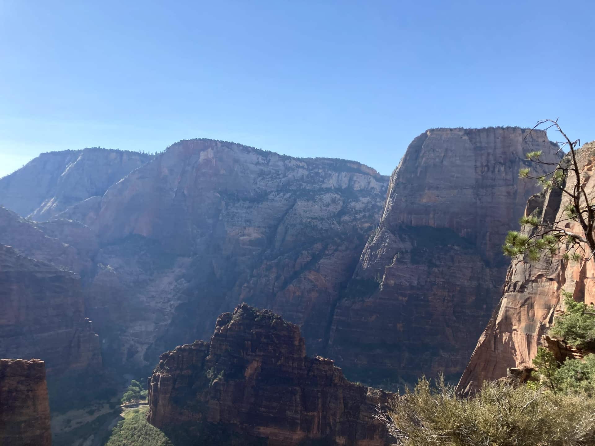
Guía de Duck Creek
A una hora de tu puerta en Duck Creek Village Inn: entra por el lado este, más tranquilo
De un vistazo
Zion te da el mayor contraste con Duck Creek Village: por la mañana estás entre bosques frescos, y poco después estás frente a paredes gigantes de arenisca.
Es una excursión de día muy fuerte, especialmente si eliges una sola actividad principal y no intentas hacerlo todo.
Entrar por el este evita el tráfico y el estrés de Springdale y te mete en el parque antes de que llegue la mayor parte de la gente.
La mayoría entra a Zion por el sur, a través de Springdale. Eso significa tráfico, aparcar con estrés y una cola de shuttle que puede comerse la mañana.
Si te alojas en Duck Creek Village Inn, entras por el otro lado, a través de la Zion-Mt Carmel Highway, y la diferencia es enorme.
The green line is the road you will actually drive: Highway 14 down to Long Valley Junction, US-89 south, then SR-9 west through the east entrance and the tunnel. The dotted amber road is the Zion Canyon Scenic Drive, shuttle-only in season. Tap any pin for the note we would give you at the front desk.
The interactive map needs JavaScript. The route is SR-14 east to US-89, south to Mount Carmel Junction, then SR-9 west through the East Entrance and the Zion-Mount Carmel Tunnel.
From the east entrance
Enter from the east and the park arranges itself in a line: the pie stop, the mesa, the overlook, the tunnel, then the canyon. Here are the ten we send guests to, with the distances the National Park Service publishes for each.
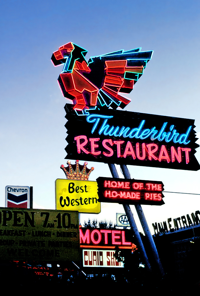
Where US-89 meets SR-9, the Thunderbird and its "Ho-Made Pies" sign have marked the turn toward Zion since the 1930s. It is the last fuel before the park and the easiest breakfast on the route. The Shop Coffee Co. in Orderville, ten minutes earlier, is the other morning stop.
Where to eat around Zion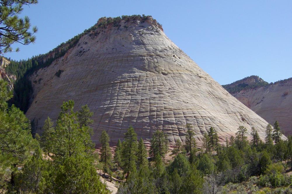
The first thing the park shows you is a dome of Navajo sandstone scored into a grid: horizontal cross-bedding from ancient dunes crossed by vertical fractures. A signed pullout on the right is the place to stop. There is no trail to the top, so treat it as a photograph and a stretch, not a hike.
The east side in detail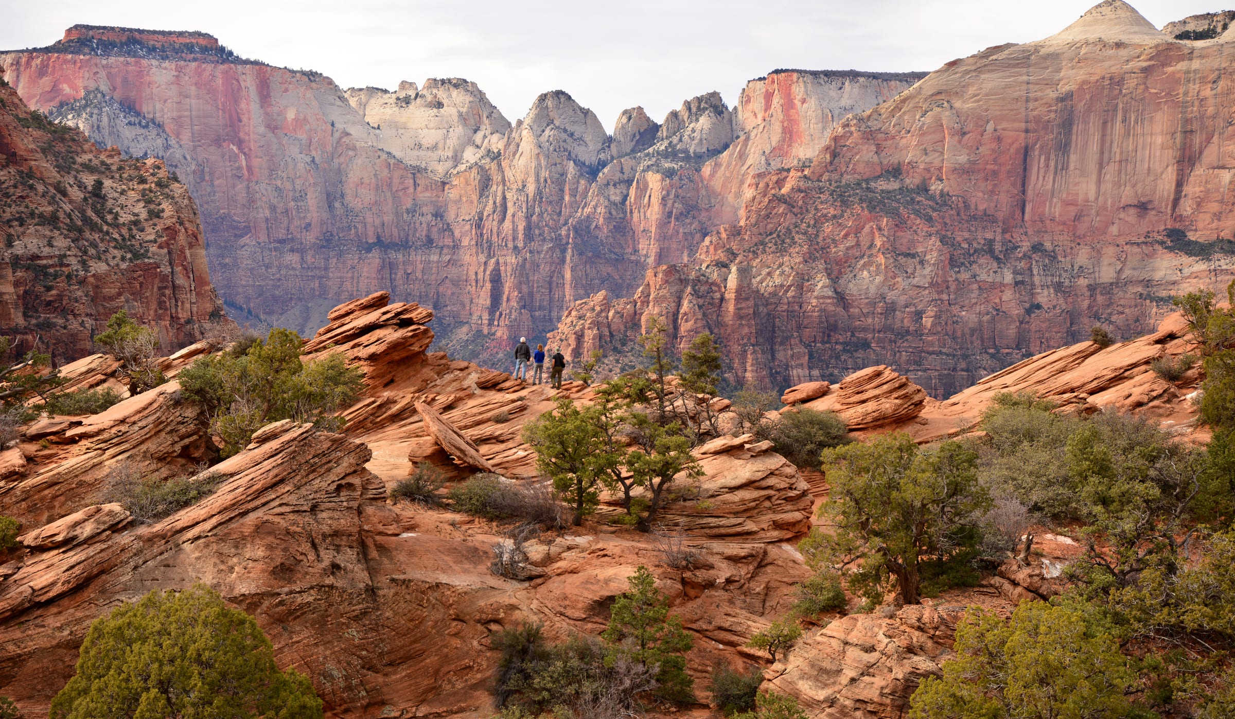
The best view-per-step in Zion starts at the small lot at the tunnel’s east portal, right turns only in and out. Sandstone steps with a handrail climb above a slot canyon, then the trail opens onto slickrock and ends at a fenced ledge facing the Towers of the Virgin. The NPS itself says to be ready to try the lot more than once; arriving from the east at 8 AM usually solves that.
Parking and timing for Canyon Overlook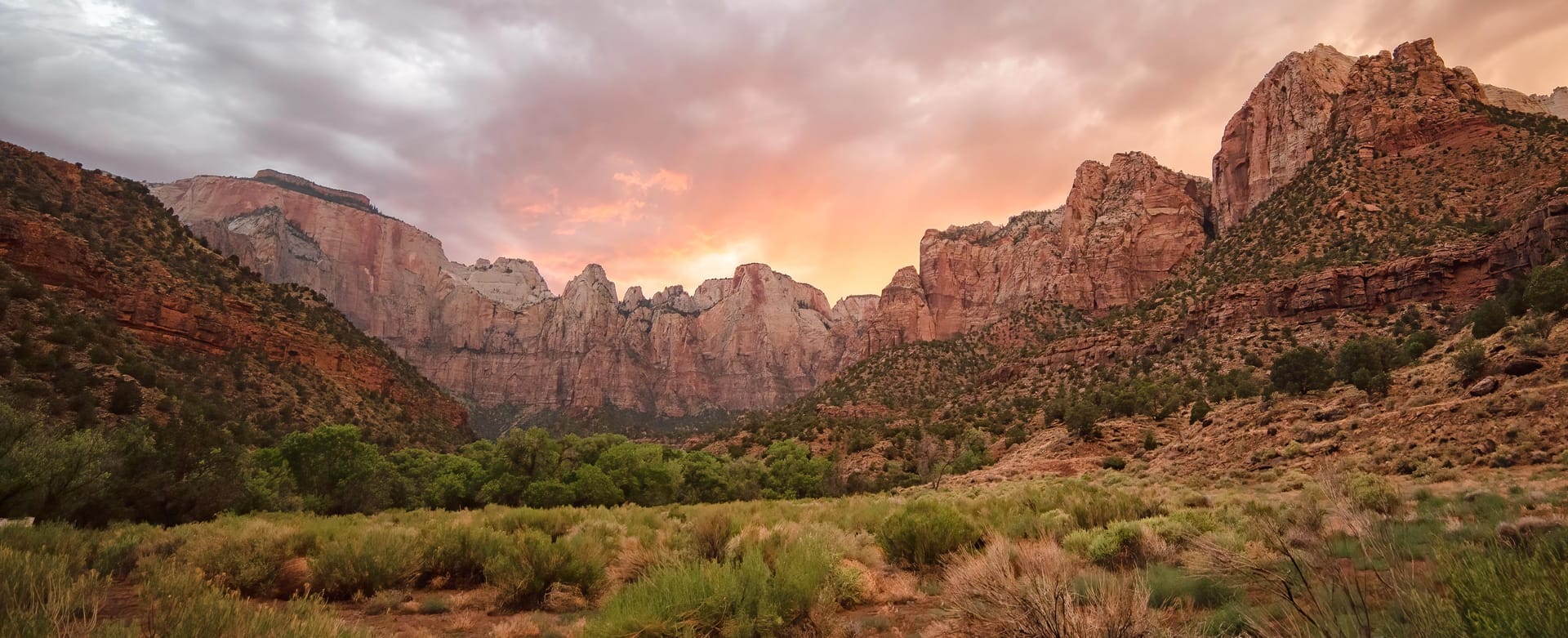
A mile of darkness blasted through the cliff between 1927 and 1930, with gallery windows cut into the canyon side that flash red rock as you pass. Cars, SUVs and pickups drive straight through. Since June 2026 oversize vehicles are banned from the whole highway, so RVs and trailers over the limits must plan a detour.
Tunnel history and the 2026 vehicle rules Pa’rus is Paiute for "bubbling water," and this paved path follows the Virgin River from the visitor center to Canyon Junction with the best views of the Watchman in the park. It is the only Zion trail open to leashed dogs and bicycles, wheelchair friendly, and the NPS names it as a sunset and stargazing spot.
All the easy hikes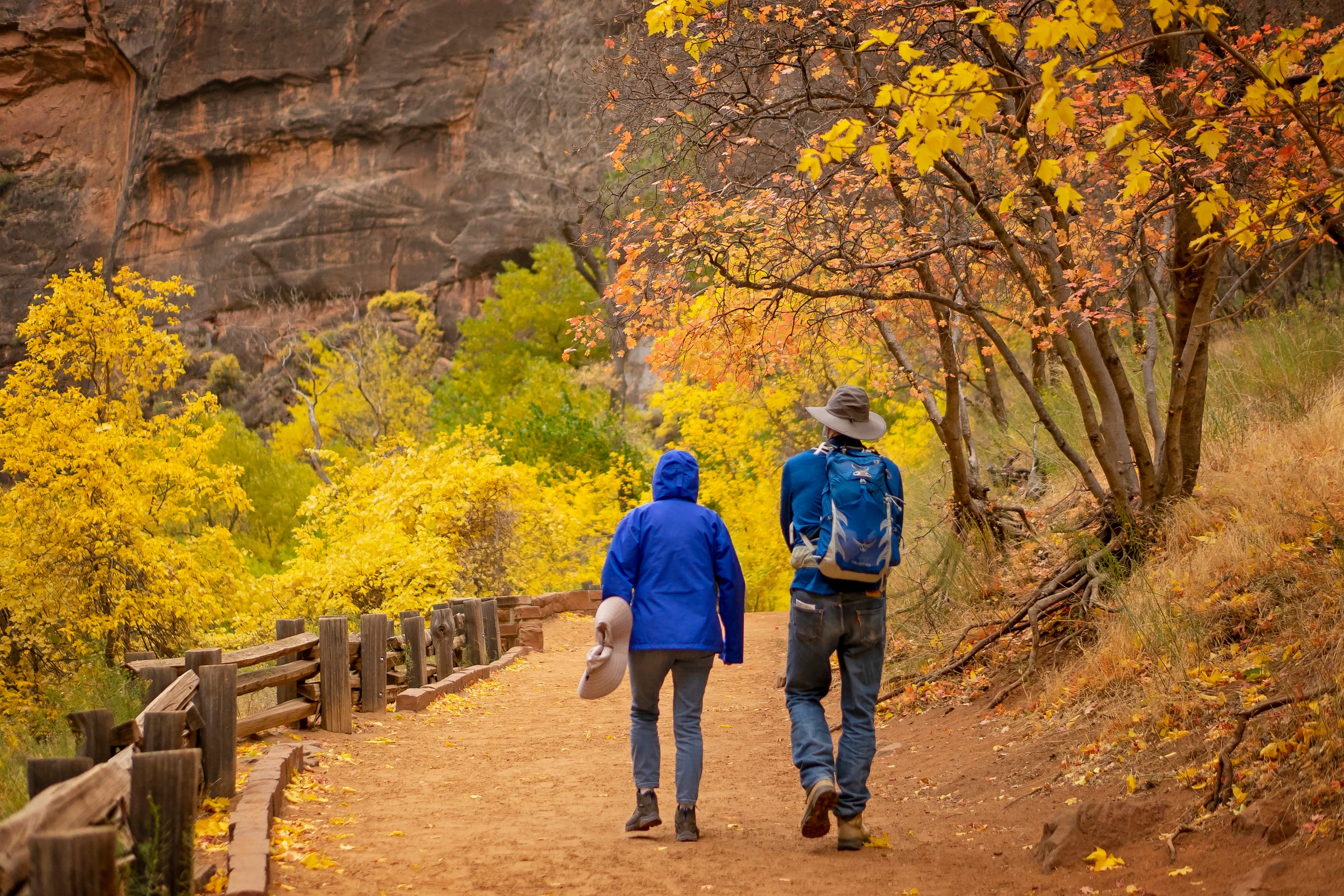
The paved Riverside Walk from the Temple of Sinawava ends at a set of stairs into the river. From there the Narrows is the trail: no permit as far as Big Spring, a strenuous ten miles round trip, and most people are happy with the first hour. The NPS closes it entirely above 150 cfs, which is why the live gauge is on this page.
Gear, flow and how far to go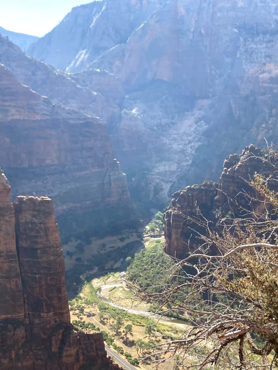
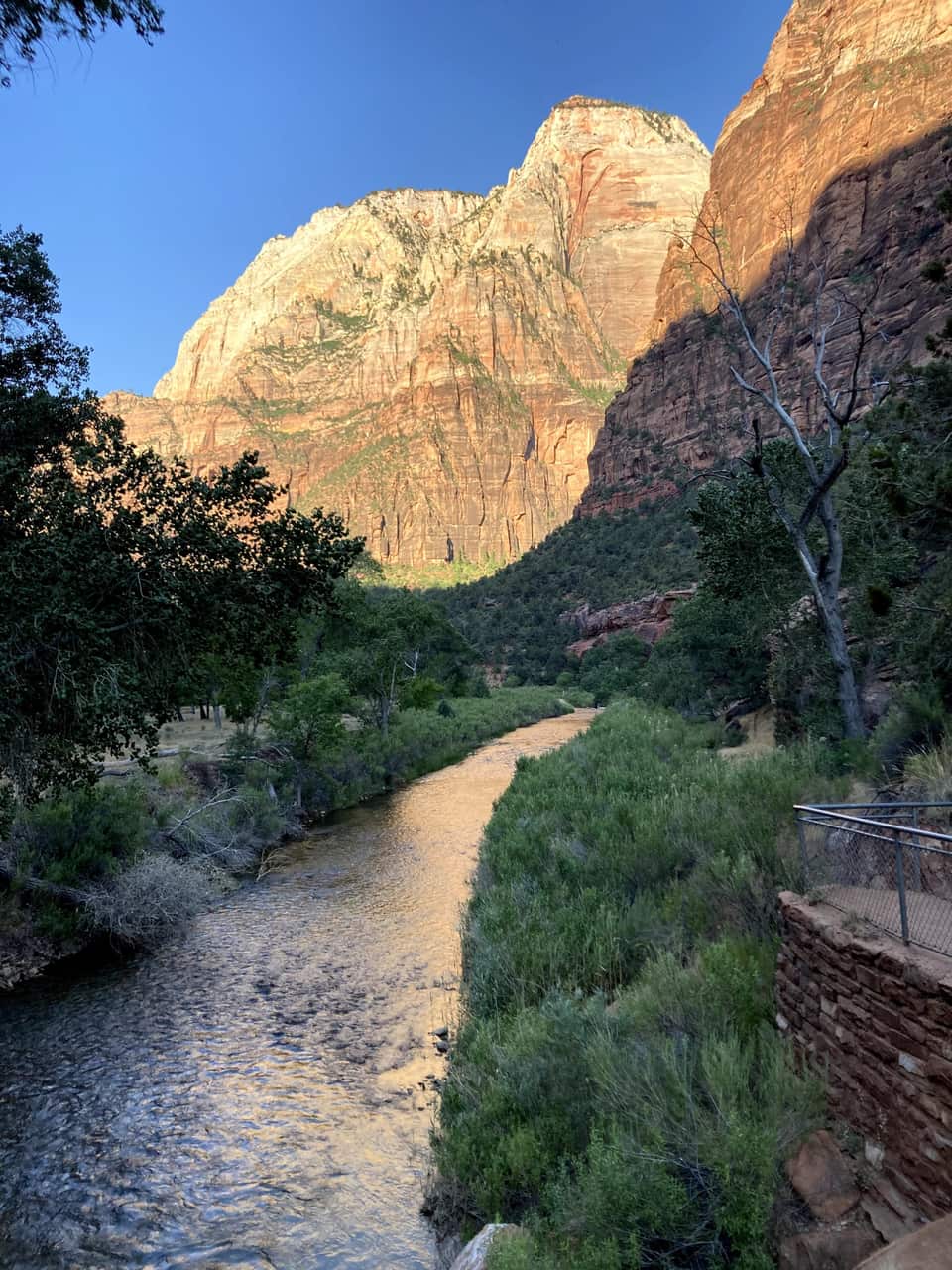
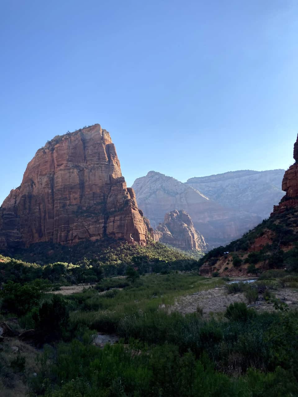
From the Grotto footbridge the West Rim Trail climbs the canyon wall, levels out in the shade of Refrigerator Canyon, then finishes with the 21 switchbacks of Walter’s Wiggles. Scout Lookout sits about a thousand feet above the river with restrooms, condors, and the view in our photos below. Only the final chained ridge to Angels Landing needs a permit.
Angels Landing permits and the lottery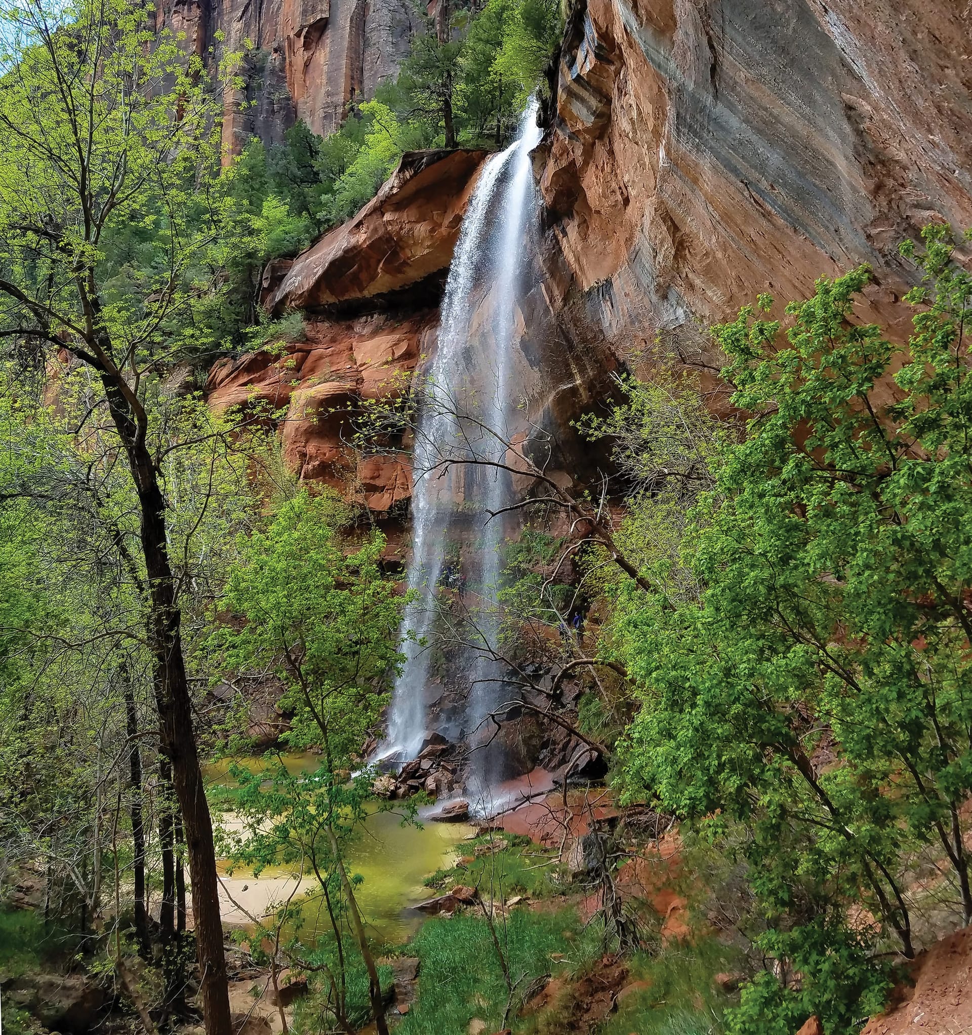
A tiered set of pools fed by seasonal waterfalls, starting across the road from Zion Lodge. The Lower Emerald Pool path is rough-paved and family friendly; the Upper Pool adds stone steps and sand to the base of the cliffs, with Lady Mountain and the Great White Throne in view. The pools are wildlife water, so no swimming.
Moderate hikes compared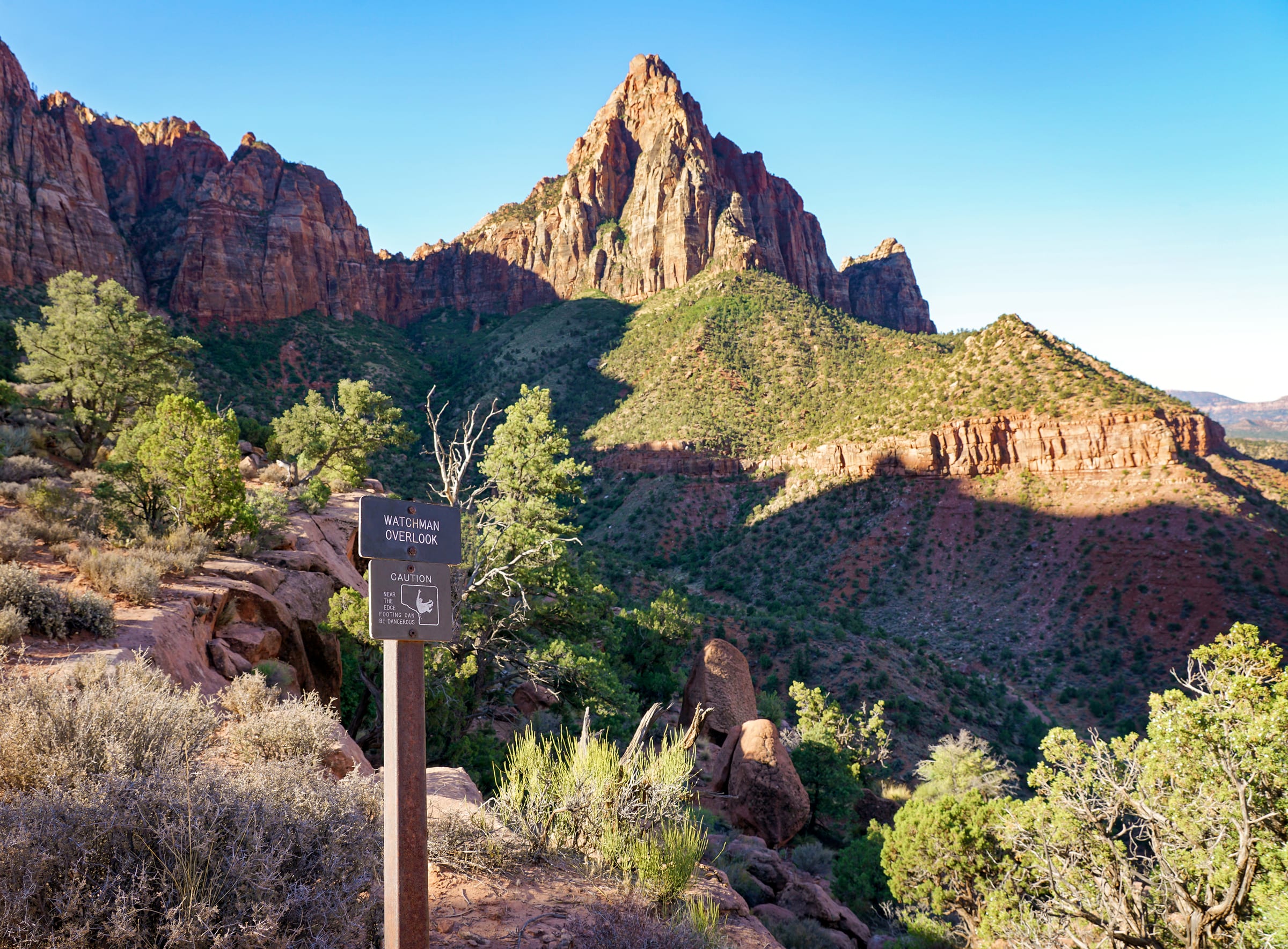
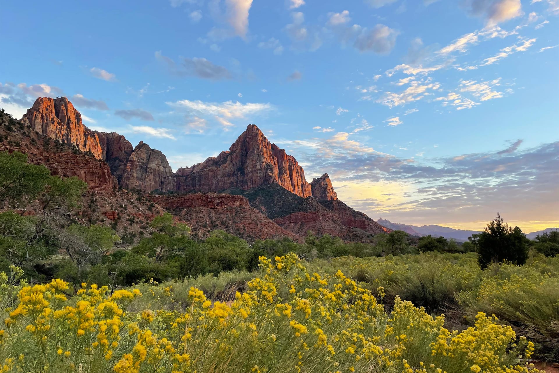
The one canyon hike that starts at the visitor center parking lot, so it works even after the shuttles stop for the day. An unpaved climb to an overlook of the Watchman, the Temples and Towers, and Springdale below, with the late light on the walls that people drive from Las Vegas for.
Watchman Trail details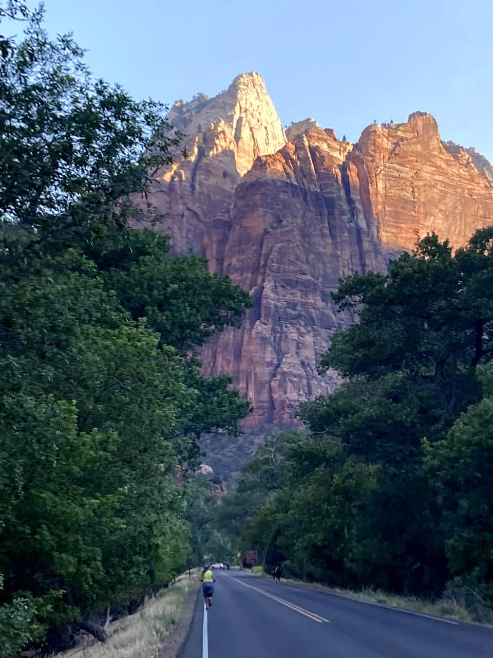
Most cars file out of the park as the light fades. Zion has been an International Dark Sky Park since June 3, 2021, and the NPS points stargazers to the Human History Museum patio and the Pa’rus Trail. Check the moon phase, bring a jacket, and you will have the Milky Way over the Towers of the Virgin. The drive back through the tunnel is empty, and Duck Creek’s own sky at 8,400 feet is waiting at the other end.
NPS stargazing guideOur own hike
These are our photos, not stock. We left the inn before seven, were on the Zion Lodge road as the sun hit the walls, crossed the Grotto footbridge at eight, and were looking down on the river from Scout Lookout by half past nine. No permit needed for any of it.
The numbers most Zion guides skip
Virgin River right now
Comfortable wading range for the bottom-up walk from the Riverside Walk. Flash-flood risk still depends on the forecast, not the gauge.
The canyon floor and the village are an hour apart and a season apart. The bars show each month's normal daily low to high at both. Plan the canyon for the morning, and expect a jacket on the deck when you get home.
Each guide covers one piece of the trip so you can go deep on the part that matters to you.
Rutas de Zion por dificultad, elegidas para excursiones de un dia desde Duck Creek
Ver guía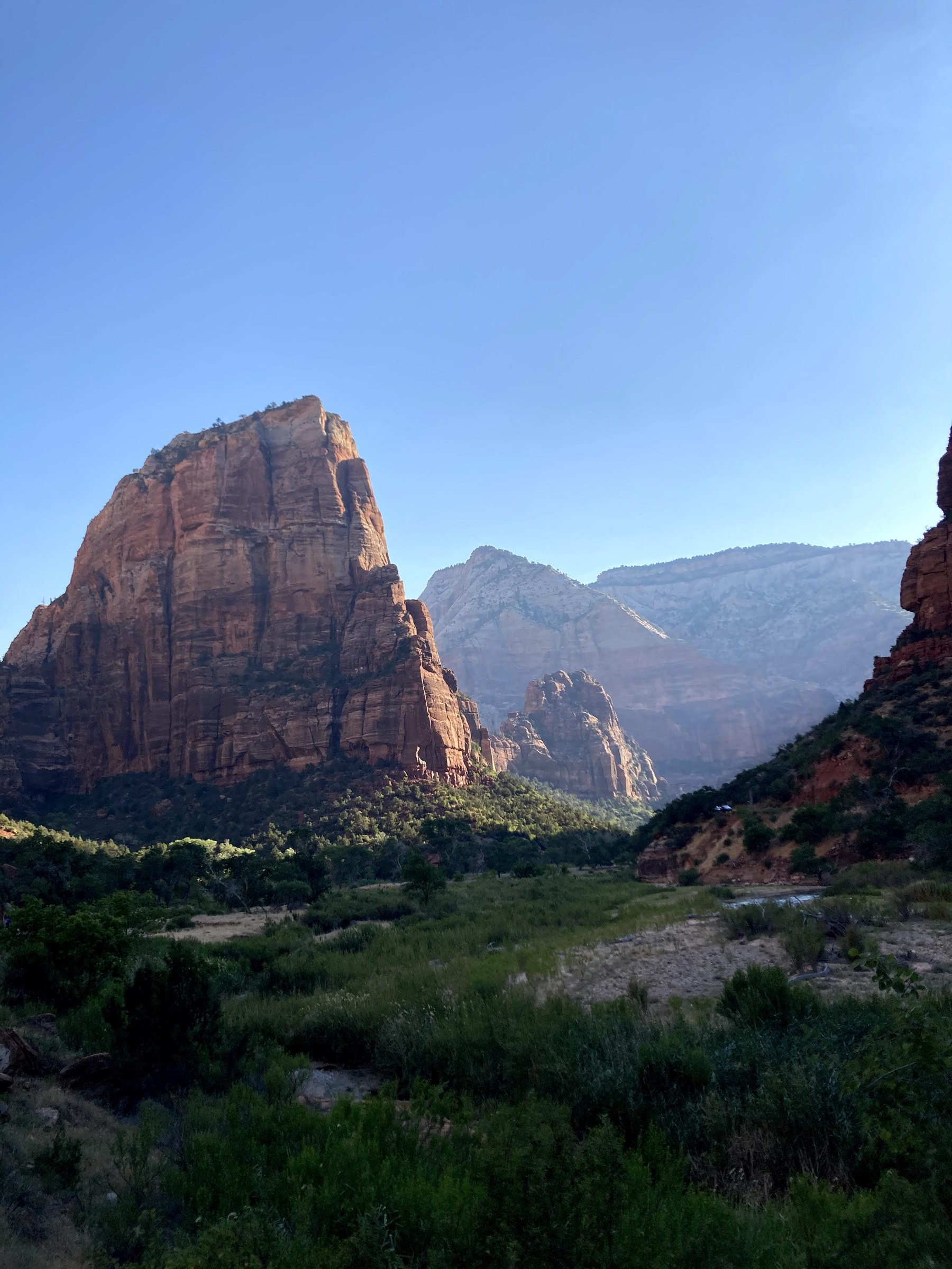
Sistema de permisos, detalles del sendero y consejos locales para una de las caminatas mas famosas de Estados Unidos
Ver guía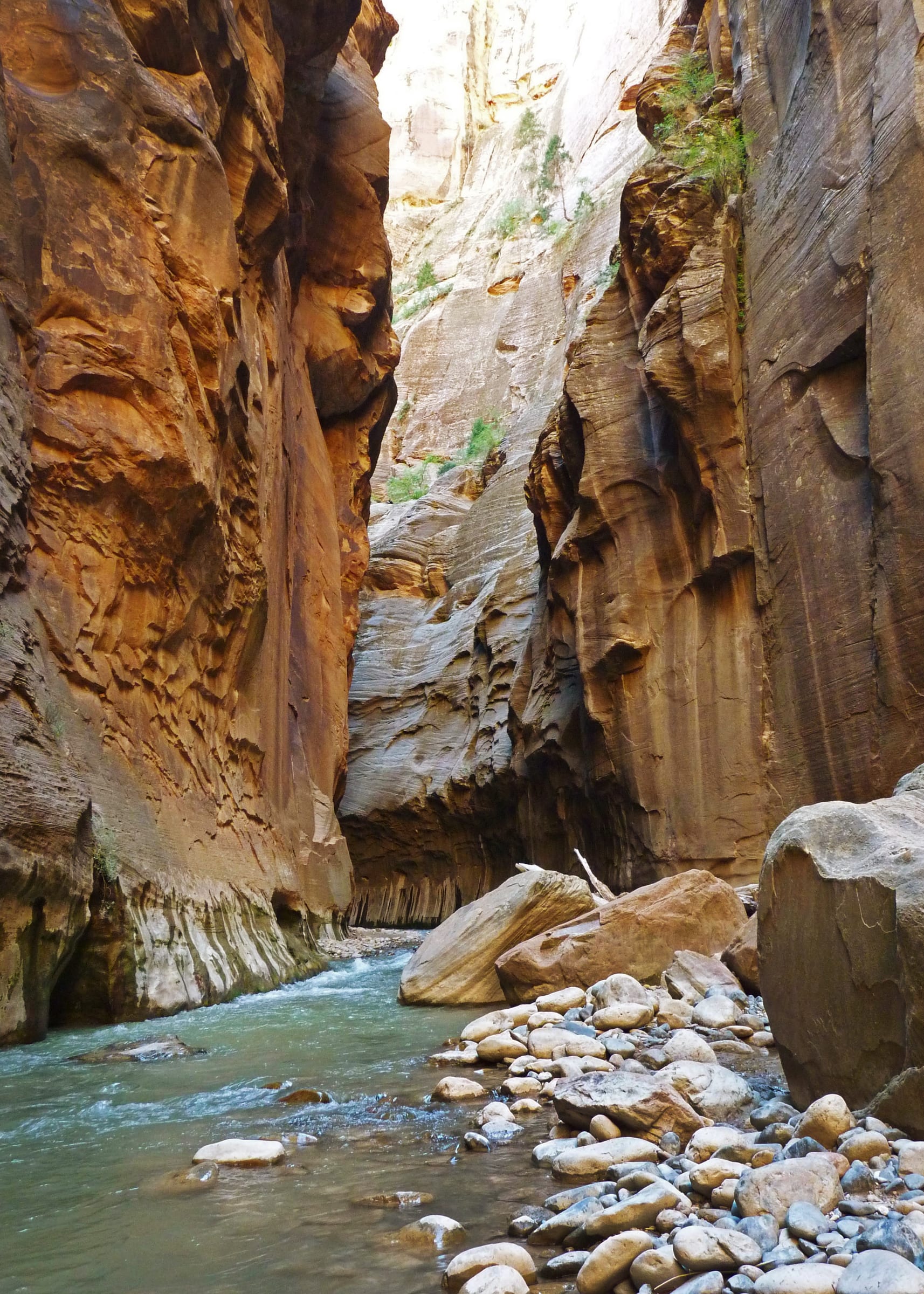
Equipo, condiciones y hasta donde conviene avanzar al remontar el Virgin River
Ver guía Por que el lado este, mas tranquilo, es la mejor forma de entrar desde Duck Creek Village
Ver guía Donde comer alrededor de Zion - pastel en la ruta este, almuerzo en el parque y cena en Springdale - con sitios oficiales
Ver guía Alertas, cierres, horarios y programas de rangers en vivo - directo del National Park Service
Ver guíaA typical summer plan. In spring and fall shift everything an hour later and the light is even better.
Leave the inn. Coffee in Orderville or pie at Mount Carmel Junction if you skipped breakfast.
Through the east entrance. Pull off for Checkerboard Mesa while the light is low.
Canyon Overlook Trail. Budget an hour, plus patience for a parking spot.
Through the tunnel to the visitor center; board the shuttle at stop 1.
Your anchor: Scout Lookout, the Emerald Pools, or the Riverside Walk and a wade into the Narrows.
Lunch at Zion Lodge or from the cooler; the Pa’rus Trail if the dog came along.
Back east through the tunnel with the sun behind you; no exit traffic on this side.
Home at the inn. Dinner in the village, and the deck for the last of the light.
La primavera y el otoño suelen ser las estaciones más cómodas para Zion. El verano trae calor, más gente y días largos; el invierno es más tranquilo pero puede traer frío, hielo y cierres puntuales.
Si vienes desde Duck Creek, salir temprano ayuda mucho. Así puedes cruzar el parque antes de las horas más llenas y aprovechar la mañana en la entrada este o en un sendero corto antes de ir al cañón principal.
The east entrance is why Duck Creek Village works so well as a Zion base. You are an hour from the park with none of the Springdale overhead: no gateway-town prices, no traffic, and cool mountain evenings after a hot day in the canyon. Bryce Canyon and Cedar Breaks are each under an hour the other direction, so a three-night stay covers all three without repacking.
Compare our rooms and cabins to find the right fit. Most guests who come for Zion stay two to four nights and put a slower village day between the park days.

Free printable guide
A short, pretty version of this page for the car: the route, the ten stops in order, the day plan, the tunnel rules, and the links to check the morning you go. Save it before you lose signal on Highway 14.
It also carries our mystery-gift invitation: book a stay with Duck Creek Village Inn and mention the guide at check-in for a small surprise from the inn.
Download the Zion guide (PDF)Free · No email required · English
September 2026
We write this guide as innkeepers who drive the east-entrance route ourselves; the hike photos on this page are ours. Every figure comes from a primary source: the National Park Service for trails, fees, shuttles and visitation, USGS for the river gauge and elevations, NOAA for the climate normals, and UDOT for the entrance shares. Fees, closures and vehicle rules change, so verify with the NPS before you go.
Las preguntas que suelen hacerse después los viajeros.
Zion National Park gives you the biggest contrast from Duck Creek Village: cool forest mornings at the inn, then towering sandstone canyon walls once you descend toward the park.
Zion National Park está a A ~1 h por trayecto desde el hotel de Duck Creek Village Inn según los datos actuales de la guía.
Zion is open year-round, but heat, crowds, flash-flood risk, and trail conditions shift the ideal plan. Spring and fall are the easiest hiking seasons; summer is busiest and hottest; winter is quieter but can bring cold mornings and icy sections.
Reserva tu habitación o cabaña en Duck Creek Village Inn: a una hora de la entrada este de Zion y sin tráfico de ciudad puerta.