Beste wandelingen
Zion-wandelingen per moeilijkheidsgraad, geselecteerd voor dagjesmensen uit Duck Creek
Bekijk gids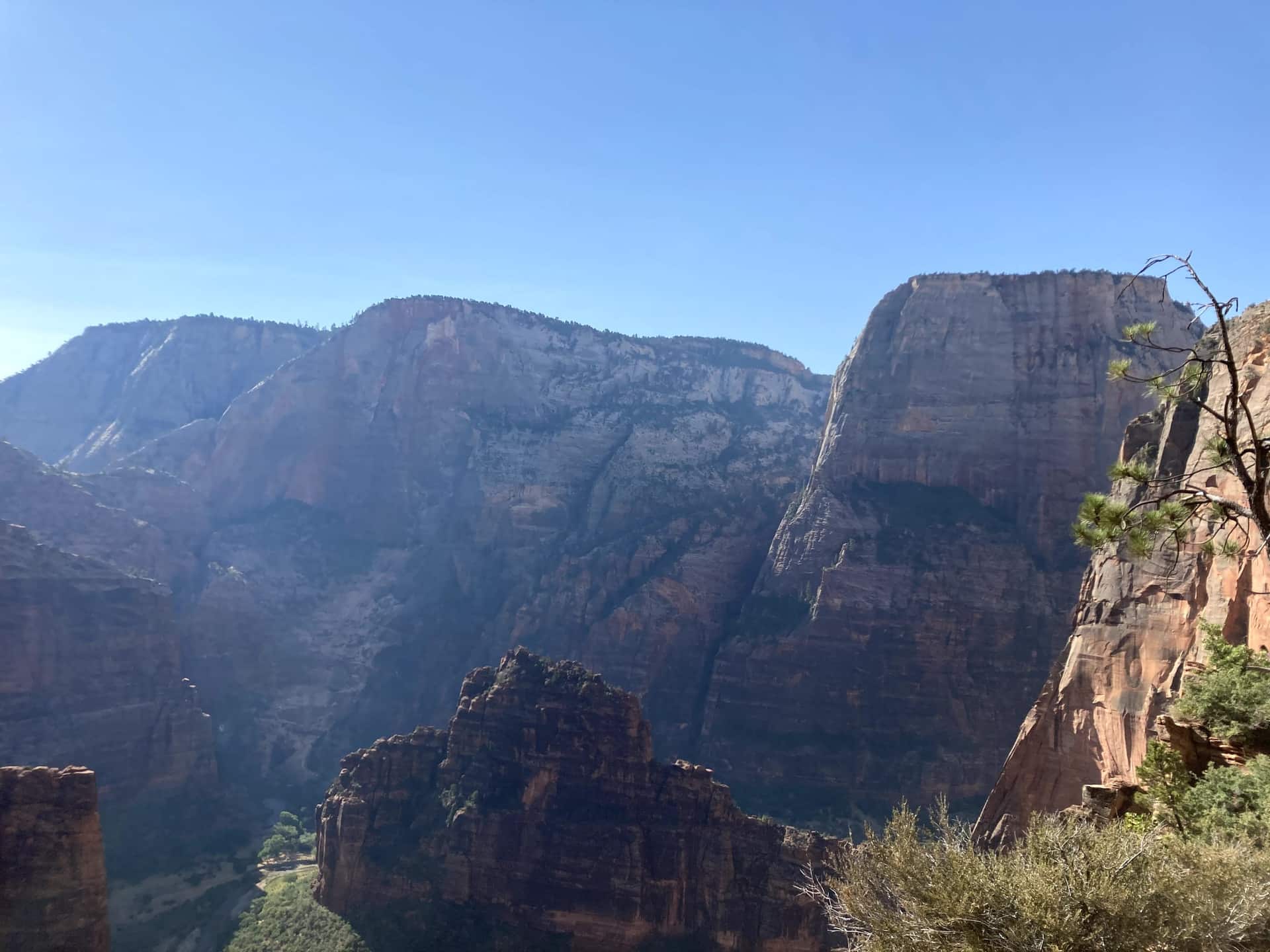
Duck Creek-gids
Route, parkeren en de verbinding met Zion Canyon
In één oogopslag
Rijd via UT-14 naar het oosten tot US-89, volg die naar het zuiden tot Mt. Carmel Junction en neem vervolgens UT-9 west richting Zion. Reken bij normale omstandigheden op ongeveer een uur tot de oostelijke ingang, plus tijd voor stops en vertragingen. De ingang is niet het Zion Canyon Visitor Center; om de canyon te bereiken moet je nog door de tunnel en over de haarspeldbochten rijden.
Oostelijke ingang: de gebruikelijke route vanuit Duck Creek naar Checkerboard Mesa en Canyon Overlook wanneer UT-9 open is. Je rijdt zelf tussen de stops aan de oostkant. De parkeerruimte bij Canyon Overlook is beperkt; parkeer op een toegestane plek en houd een andere stop achter de hand als de parkeerplaats vol is.
Zuidelijke ingang bij Springdale: naast het Zion Canyon Visitor Center en het vertrekpunt van de pendelbus door de hoofdcanyon. Ook als je via de oostelijke ingang komt, beginnen de meeste bezoeken aan de canyon hier. Plan voor The Narrows, de aanlooproutes naar Angels Landing en andere canyonstops ook tijd voor parkeren, wachten op de pendelbus en de laatste bus.
The green line is the road you will actually drive: Highway 14 down to Long Valley Junction, US-89 south, then SR-9 west through the east entrance and the tunnel. The dotted amber road is the Zion Canyon Scenic Drive, shuttle-only in season. Tap any pin for the note we would give you at the front desk.
The interactive map needs JavaScript. The route is SR-14 east to US-89, south to Mount Carmel Junction, then SR-9 west through the East Entrance and the Zion-Mount Carmel Tunnel.
From the east entrance
Enter from the east and the park arranges itself in a line: the pie stop, the mesa, the overlook, the tunnel, then the canyon. Here are the ten we send guests to, with the distances the National Park Service publishes for each.
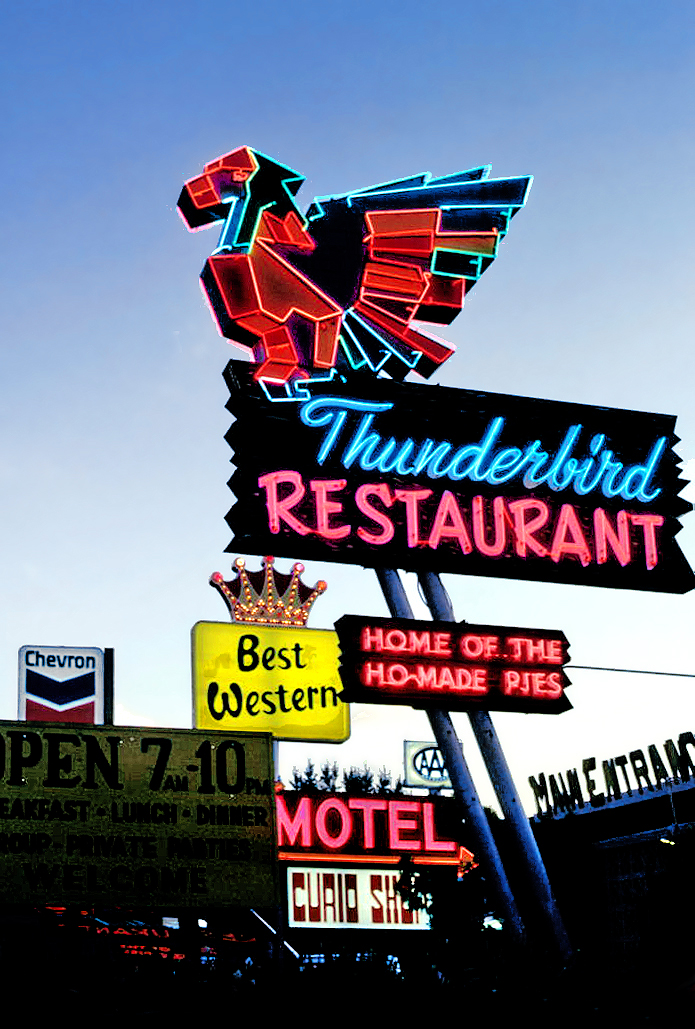
Where US-89 meets SR-9, the Thunderbird and its "Ho-Made Pies" sign have marked the turn toward Zion since the 1930s. It is the last fuel before the park and the easiest breakfast on the route. The Shop Coffee Co. in Orderville, ten minutes earlier, is the other morning stop.
Where to eat around Zion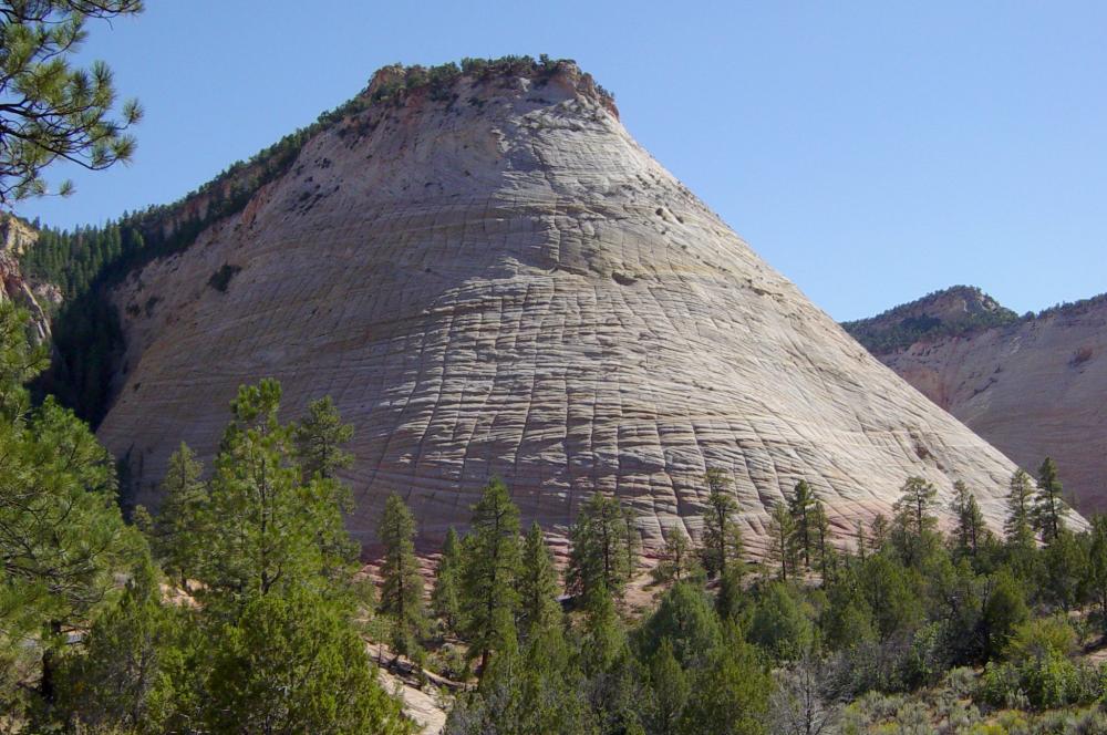
The first thing the park shows you is a dome of Navajo sandstone scored into a grid: horizontal cross-bedding from ancient dunes crossed by vertical fractures. A signed pullout on the right is the place to stop. There is no trail to the top, so treat it as a photograph and a stretch, not a hike.
The east side in detail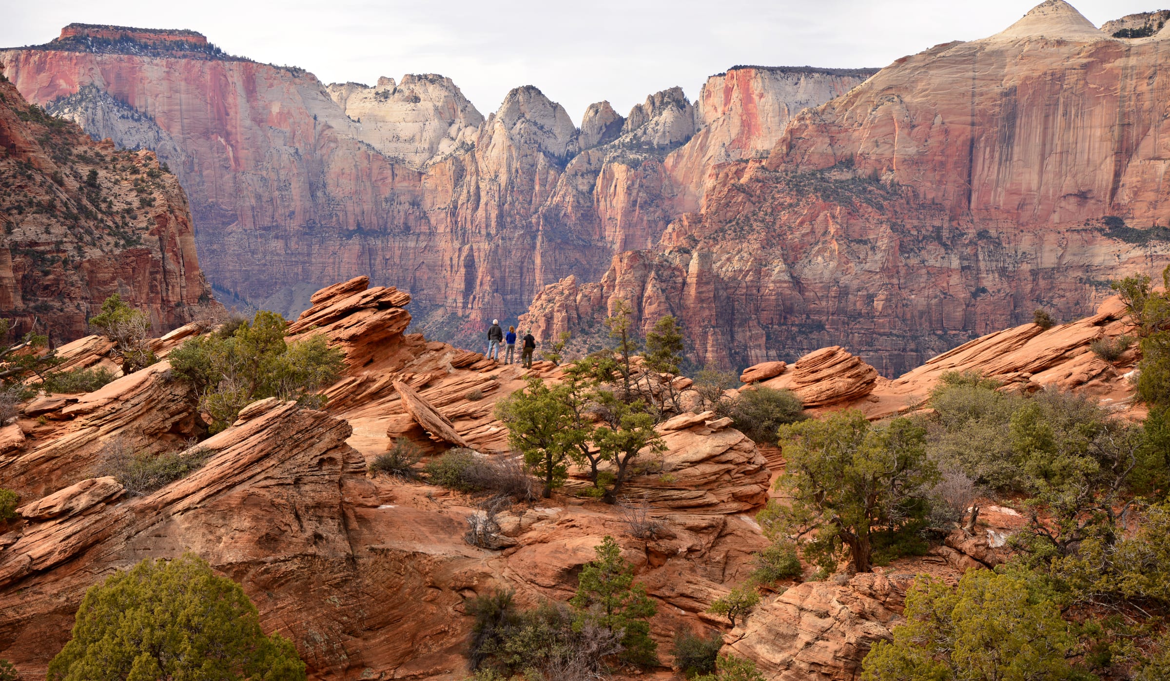
The best view-per-step in Zion starts at the small lot at the tunnel’s east portal, right turns only in and out. Sandstone steps with a handrail climb above a slot canyon, then the trail opens onto slickrock and ends at a fenced ledge facing the Towers of the Virgin. The NPS itself says to be ready to try the lot more than once; arriving from the east at 8 AM usually solves that.
Parking and timing for Canyon Overlook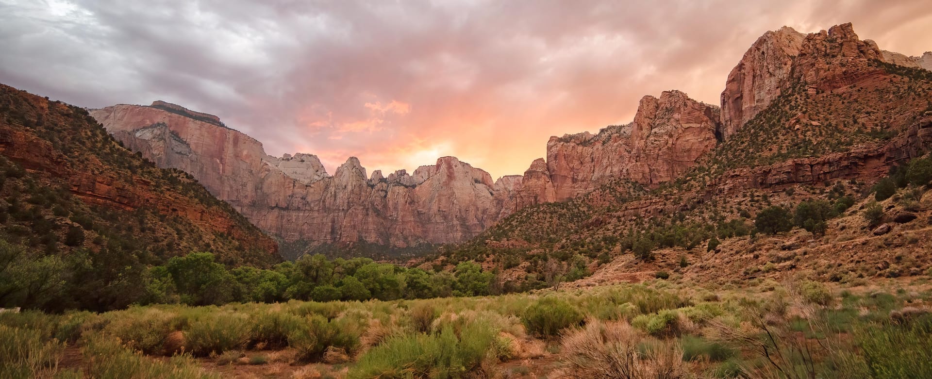
A mile of darkness blasted through the cliff between 1927 and 1930, with gallery windows cut into the canyon side that flash red rock as you pass. Cars, SUVs and pickups drive straight through. Since June 2026 oversize vehicles are banned from the whole highway, so RVs and trailers over the limits must plan a detour.
Tunnel history and the 2026 vehicle rules Pa’rus is Paiute for "bubbling water," and this paved path follows the Virgin River from the visitor center to Canyon Junction with the best views of the Watchman in the park. It is the only Zion trail open to leashed dogs and bicycles, wheelchair friendly, and the NPS names it as a sunset and stargazing spot.
Gebruik voor foto's van de Watchman en de rivier bij Canyon Junction de voetgangersbruggen op de Pa'rus Trail. Voetgangers zijn niet toegestaan op de verkeersbrug van Canyon Junction; stop daar niet om een foto te maken.
NPS-locaties voor zonsopkomst en zonsondergang
All the easy hikes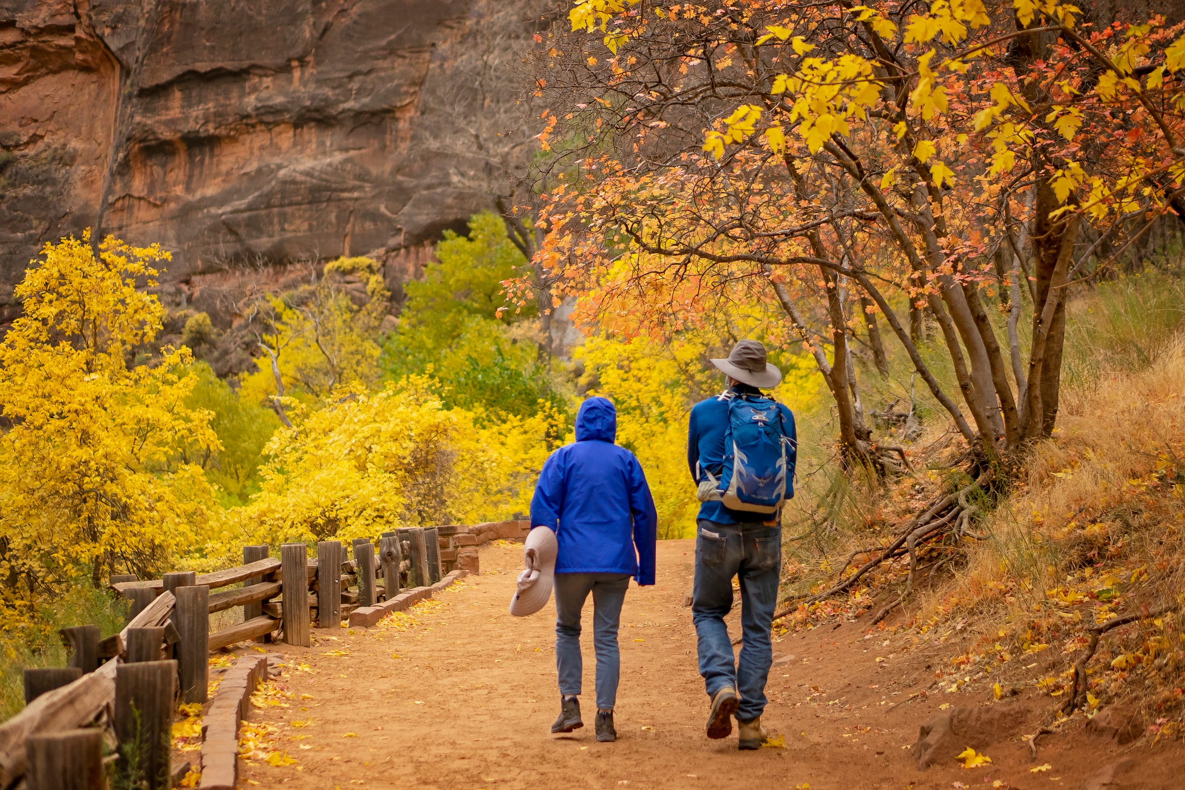
The paved Riverside Walk from the Temple of Sinawava ends at a set of stairs into the river. From there the Narrows is the trail: no permit as far as Big Spring, a strenuous ten miles round trip, and most people are happy with the first hour. The NPS closes it entirely above 150 cfs, which is why the live gauge is on this page.
Gear, flow and how far to go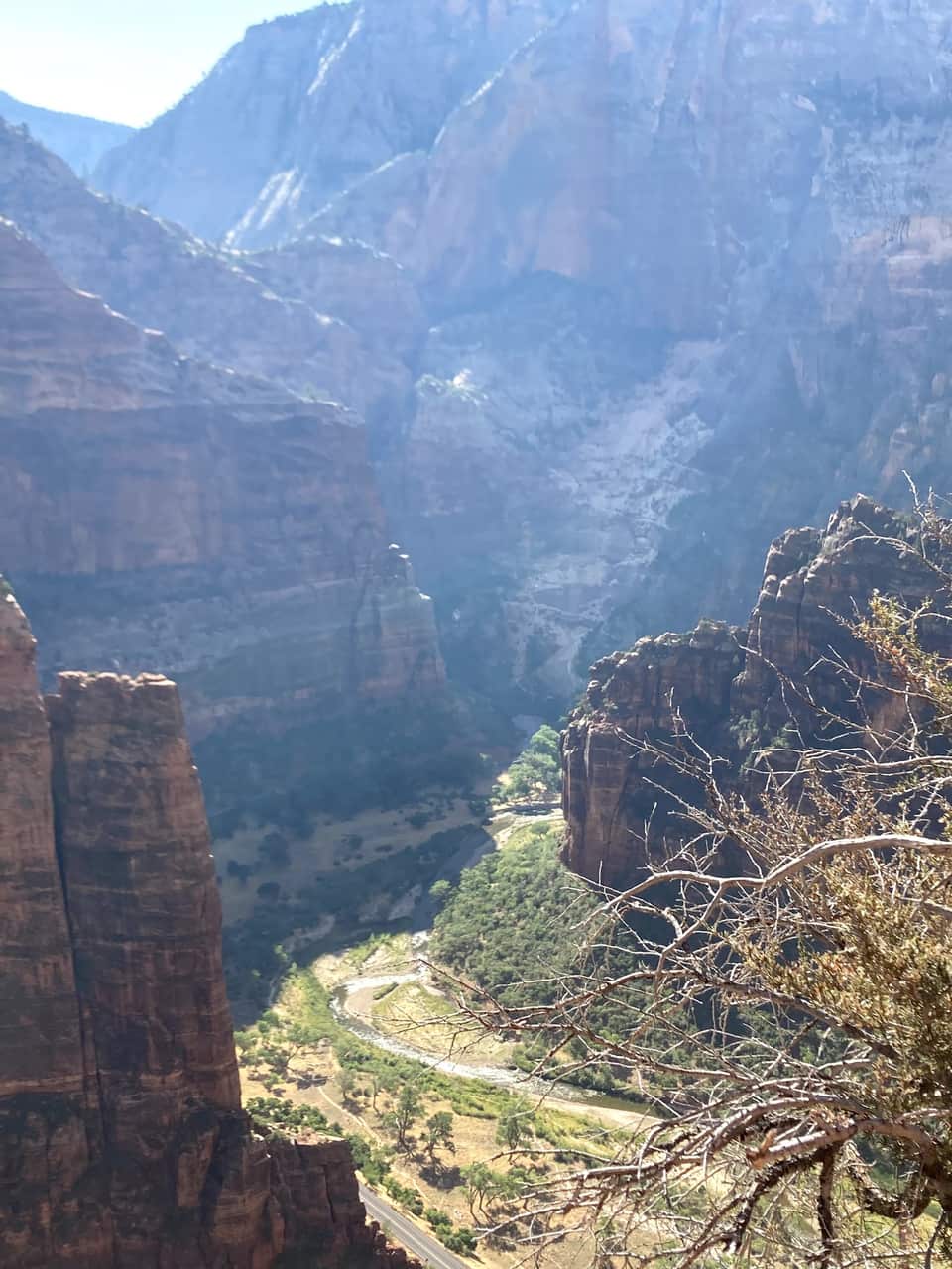
From the Grotto footbridge the West Rim Trail climbs the canyon wall, levels out in the shade of Refrigerator Canyon, then finishes with the 21 switchbacks of Walter’s Wiggles. Scout Lookout sits about a thousand feet above the river with restrooms, condors, and the view in our photos below. Only the final chained ridge to Angels Landing needs a permit.
Angels Landing permits and the lottery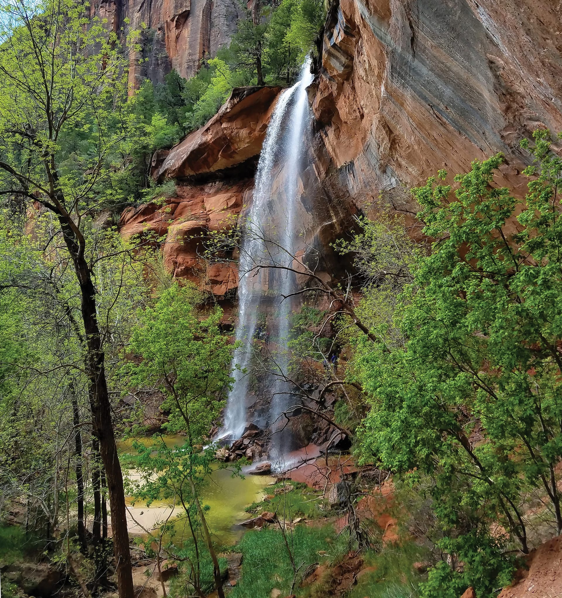
A tiered set of pools fed by seasonal waterfalls, starting across the road from Zion Lodge. The Lower Emerald Pool path is rough-paved and family friendly; the Upper Pool adds stone steps and sand to the base of the cliffs, with Lady Mountain and the Great White Throne in view. The pools are wildlife water, so no swimming.
Moderate hikes compared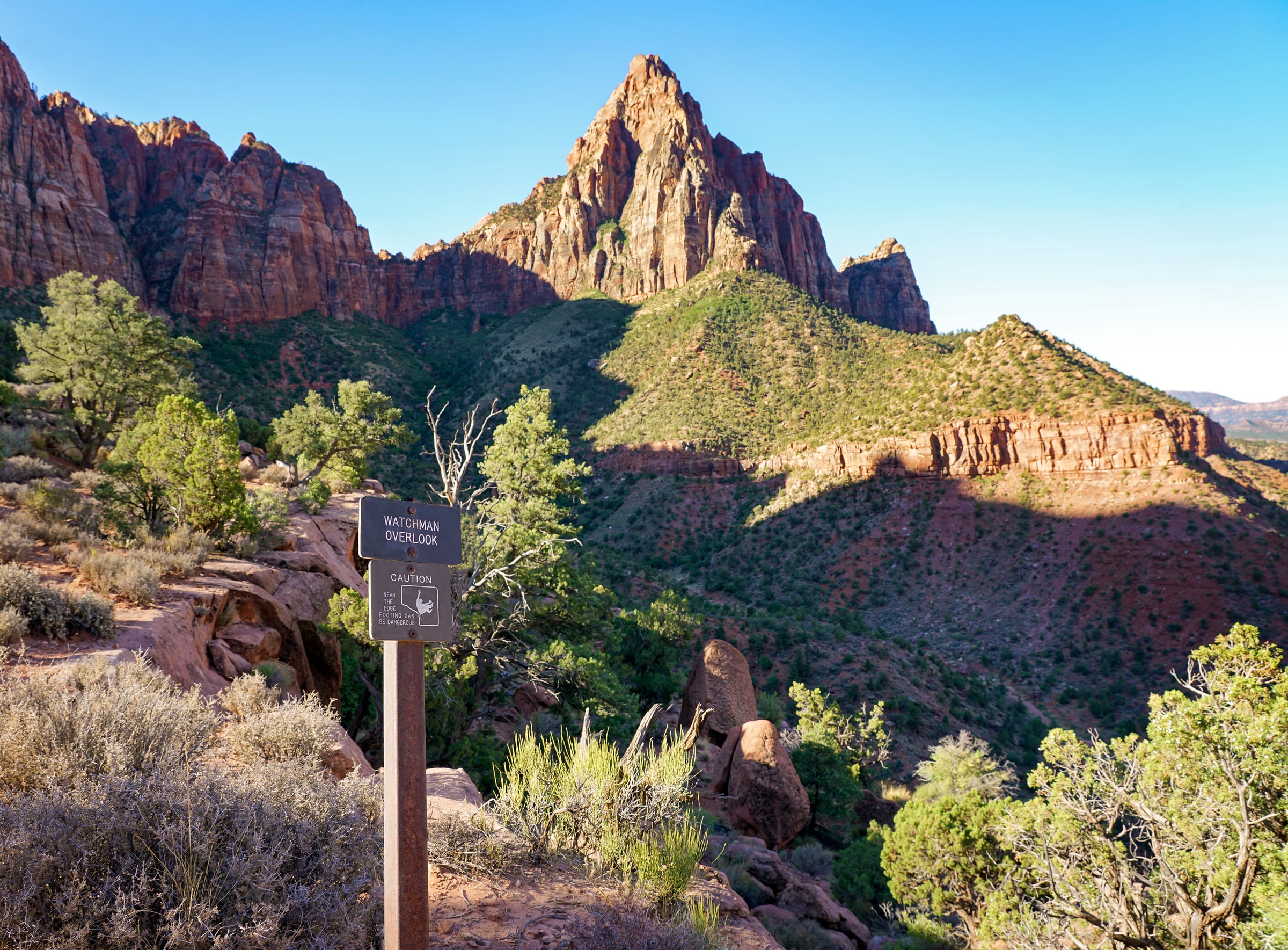
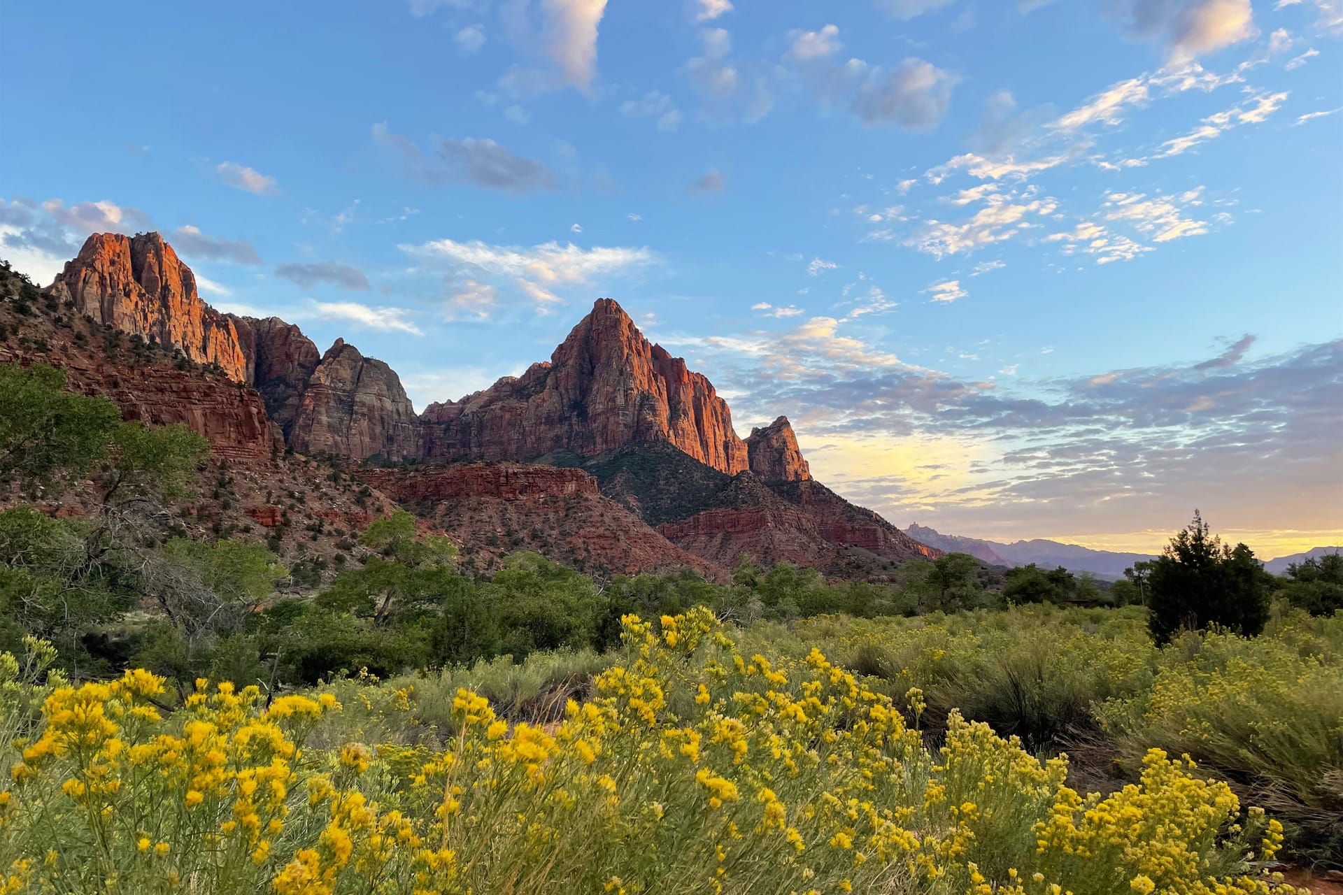
The one canyon hike that starts at the visitor center parking lot, so it works even after the shuttles stop for the day. An unpaved climb to an overlook of the Watchman, the Temples and Towers, and Springdale below, with the late light on the walls that people drive from Las Vegas for.
Watchman Trail details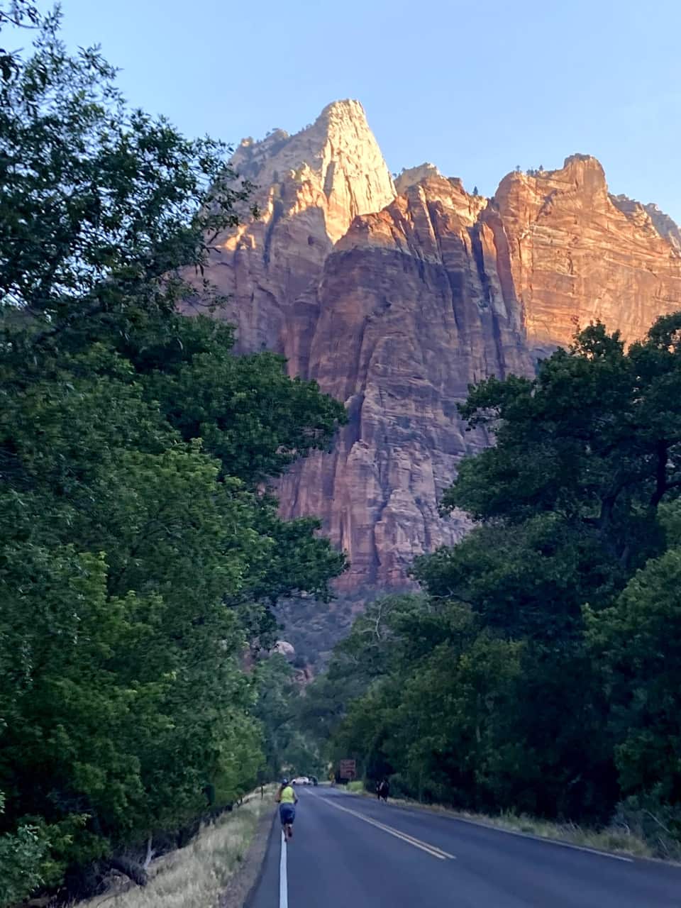
Most cars file out of the park as the light fades. Zion has been an International Dark Sky Park since June 3, 2021, and the NPS points stargazers to the Human History Museum patio and the Pa’rus Trail. Check the moon phase, bring a jacket, and you will have the Milky Way over the Towers of the Virgin.
NPS stargazing guideOur own hike
These are our photos, not stock. We left the inn before seven, were on the Zion Lodge road as the sun hit the walls, crossed the Grotto footbridge at eight, and were looking down on the river from Scout Lookout by half past nine. No permit needed for any of it.
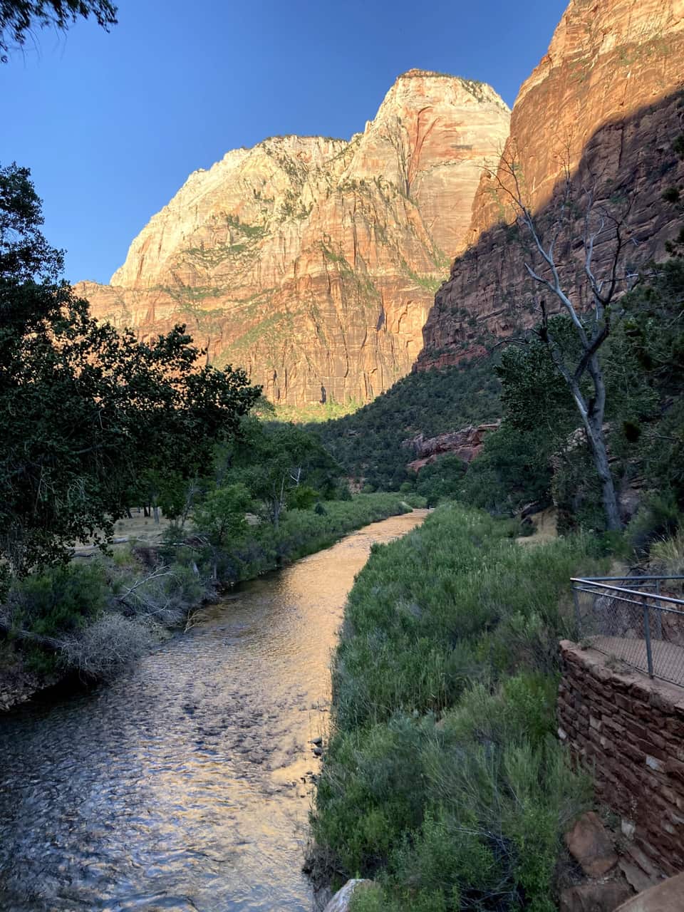
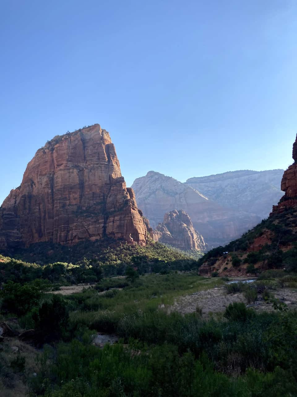
The numbers most Zion guides skip
Virgin River right now
Above the NPS closure threshold: the Narrows is closed to all travel at this flow. Make it a Riverside Walk day and check back tomorrow.
The canyon floor and the village are an hour apart and a season apart. The bars show each month's normal daily low to high at both. Plan the canyon for the morning, and expect a jacket on the deck when you get home.
Kies snel de ingang en de trail die het beste past bij de tijd die je hebt.
Zion-wandelingen per moeilijkheidsgraad, geselecteerd voor dagjesmensen uit Duck Creek
Bekijk gids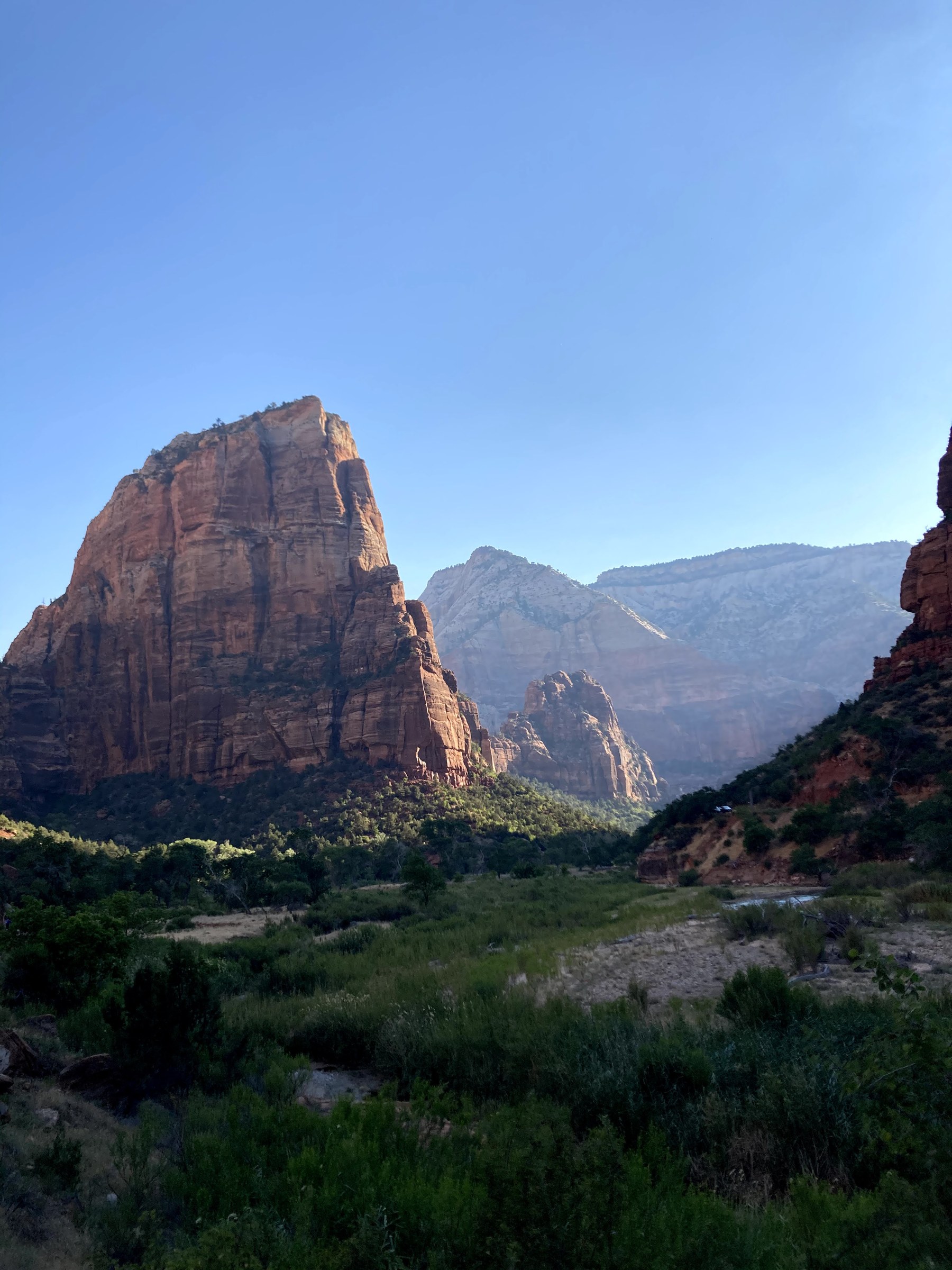
Vergunningssysteem, traildetails en lokale tips voor een van Amerika’s beroemdste wandelingen
Bekijk gids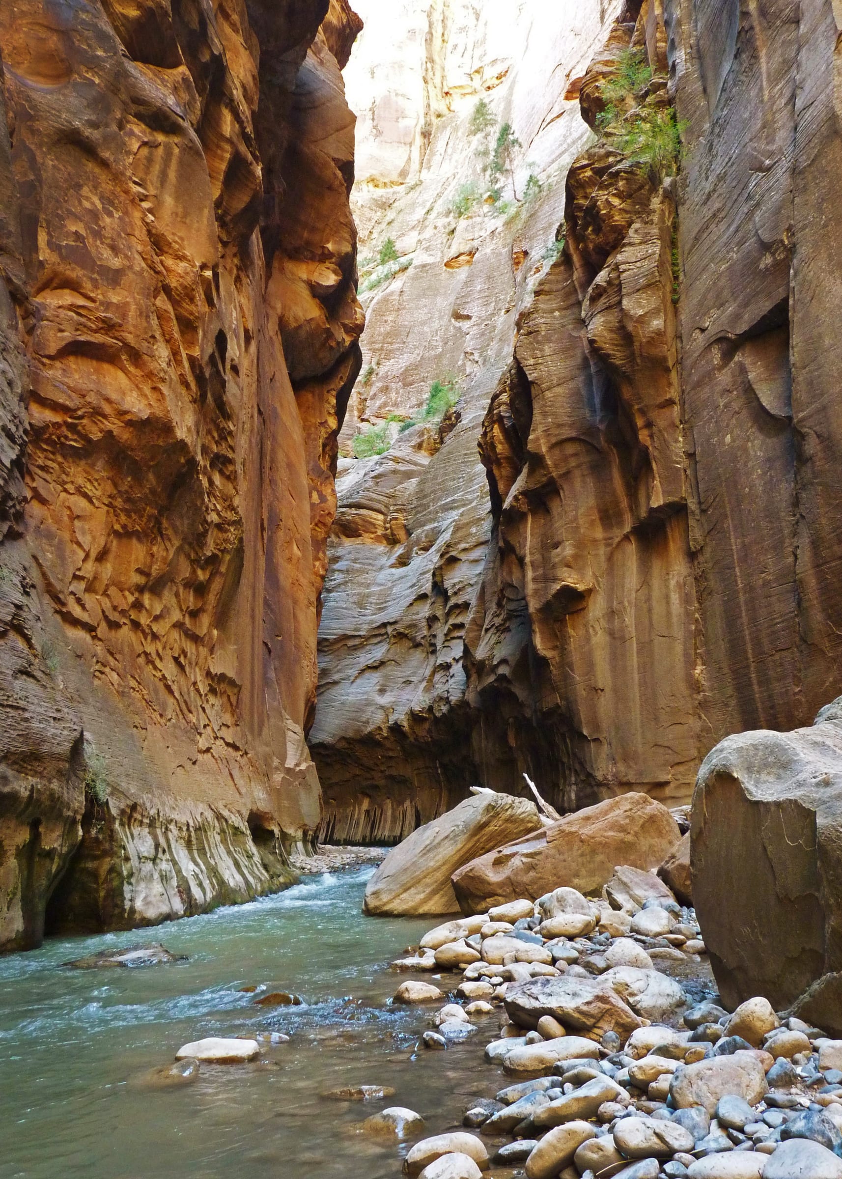
Uitrusting, condities en hoe ver je moet gaan wanneer je de Virgin River op wandelt
Bekijk gids Waarom de rustigere oostkant de beste toegang is vanuit Duck Creek Village
Bekijk gids Eten rond Zion - taart langs de oostelijke route, lunch in het park en diner in Springdale - met officiele websites
Bekijk gids Live waarschuwingen, sluitingen, openingstijden en rangerprogramma’s — rechtstreeks van de National Park Service
Bekijk gidsLente en herfst zijn meestal de beste seizoenen. De temperaturen zijn aangenamer, de drukte iets minder en de canyon is extra mooi bij helder licht.
In de zomer kan Zion heet en druk zijn, vooral in Zion Canyon. Een vroege start vanuit Duck Creek helpt dan echt.
In de winter is Zion rustiger, maar sommige delen kunnen kouder en ijziger aanvoelen dan je verwacht.
Duck Creek Village past goed bij een reis waarin je dagen in de bergen combineert met Zion en Bryce Canyon. Breng je het grootste deel van je reis door op de wandelpaden in de canyon, weeg dan de extra rit naar Zion Canyon af tegen het gemak van een verblijf in Springdale. De kamers en vakantiehuisjes van de herberg passen bij bezoekers die ook tijd in en rond Duck Creek willen doorbrengen.

Free printable guide
A short, pretty version of this page for the car: the route, the ten stops in order, the day plan, the tunnel rules, and the links to check the morning you go. Save it before you lose signal on Highway 14.
It also carries our mystery-gift invitation: book a stay with Duck Creek Village Inn and mention the guide at check-in for a small surprise from the inn.
Download the Zion guide (PDF)Free · No email required · English
September 2026
We plannen Zion vaak vanuit Duck Creek Village als een slimme, rustigere aanpak van een druk park. De parkeer- en shuttlecondities veranderen, dus check altijd de officiële bronnen.
De vragen die reizigers meestal als volgende stellen.
De gebruikelijke route naar de oostelijke ingang is UT-14 oost, US-89 zuid en UT-9 west. Die route is geschikt voor de uitzichtpunten aan de oostkant en loopt door richting Zion Canyon wanneer de doorgaande weg open is. Controleer eerst de afsluitingen. Reken voor canyonwandelingen op extra tijd om de parkeerplaats bij het bezoekerscentrum en de pendelbus te bereiken.
Nee. Het ligt bij de zuidelijke ingang in Springdale. Vanaf de oostelijke ingang bereik je het via de Zion–Mount Carmel Highway, door de tunnel en over de haarspeldbochten, wanneer die weg open is.
Gebruik de aangewezen parkeerhavens en parkeerplaatsen bij wandelroutes. Canyon Overlook heeft zeer weinig ruimte; vroeg komen garandeert geen plek. Stop niet in de tunnel en parkeer alleen waar dat is toegestaan. Kies een andere stop als de parkeerplaats vol is.
Nee. De canyonpendelbus van het park vertrekt bij het Zion Canyon Visitor Center, bij de zuidelijke ingang. Wanneer de pendelbussen rijden, moeten de meeste bezoekers daar parkeren of de verbinding vanuit Springdale gebruiken om de startpunten van wandelroutes in Zion Canyon te bereiken.
Alleen voertuigen die aan alle NPS-limieten voor afmetingen en gewicht voldoen, mogen de weg tussen de oostelijke ingang en Canyon Junction gebruiken. Controleer vóór vertrek de officiële limieten voor je voertuig en aanhanger. Grotere voertuigen kunnen de zuidelijke ingang via een andere route bereiken; houd daarbij rekening met beschikbare parkeer- en kampeerplaatsen.
Kies je verblijf zodra je weet welke parkdagen en activiteiten in het dorp bij je reis passen.