
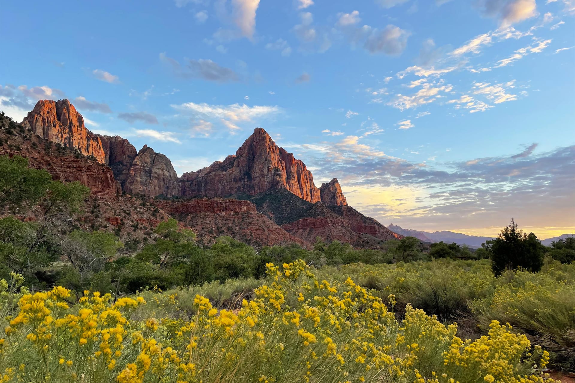
Beste Wanderungen
Zion-Wanderungen nach Schwierigkeit, ausgesucht fuer Tagesgaeste aus Duck Creek
Guide ansehen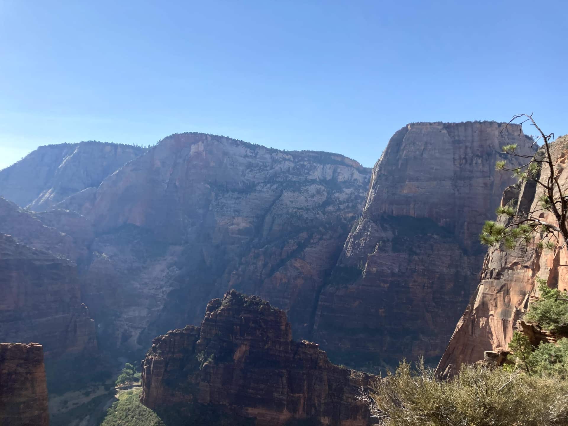
Duck-Creek-Guide
Eine Stunde von deiner Tür im Duck Creek Village Inn entfernt - Zugang über die ruhigere Ostseite
Auf einen Blick
Zion National Park bietet dir den größten Kontrast zu Duck Creek Village: kühle Bergmorgen im Inn und dann gewaltige Sandsteinwände, sobald du ins Tal Richtung Park fährst. Es ist ein starker Ganztagesausflug, besonders wenn du früh losfährst und den Tag um ein Hauptziel herum aufbaust, statt alles schaffen zu wollen.
Die Fahrt dauert etwa eine Stunde. Du fährst von den Ponderosa-Wäldern auf dem Markagunt Plateau hinunter durch die Hochwüste, vorbei an Long Valley Junction und durch den Ost-Eingang auf dem Zion-Mt.-Carmel-Highway in den Park. Diese Route ist Teil des Erlebnisses - Checkerboard Mesa, Slickrock und der mile-lange Tunnel kommen, bevor du den Hauptcanyon erreichst.
Die meisten Besucher kommen von Süden über Springdale, was Verkehr, Parkplatzstress und eine Shuttle-Schlange bedeutet, die den Morgen auffressen kann. Von Duck Creek aus kommst du von Osten herein, was ruhiger und landschaftlich schöner ist und dich in den Park bringt, bevor die größte Menge ankommt.
If you are staying at Duck Creek Village Inn, the east entrance is your natural way in. Instead of crawling through Springdale, you arrive on the Zion-Mount Carmel Highway, which the National Park Service built between 1927 and 1930 to link Zion with Bryce Canyon and the Grand Canyon. UDOT's own figures put roughly 30 percent of park visits through this gate against 60 percent at Springdale, and the road feels it.
There is no shuttle on the east side, which is a feature. Your own car takes you to the Checkerboard Mesa pullout, the Canyon Overlook trailhead, and every viewpoint along the highway. When you do want the main canyon, drive through the tunnel to the visitor center and ride the shuttle from stop one. Coming back, you retrace the highway with the sun behind you and no exit traffic, and you are at the inn in time for dinner in the village.
The green line is the road you will actually drive: Highway 14 down to Long Valley Junction, US-89 south, then SR-9 west through the east entrance and the tunnel. The dotted amber road is the Zion Canyon Scenic Drive, shuttle-only in season. Tap any pin for the note we would give you at the front desk.
The interactive map needs JavaScript. The route is SR-14 east to US-89, south to Mount Carmel Junction, then SR-9 west through the East Entrance and the Zion-Mount Carmel Tunnel.
From the east entrance
Enter from the east and the park arranges itself in a line: the pie stop, the mesa, the overlook, the tunnel, then the canyon. Here are the ten we send guests to, with the distances the National Park Service publishes for each.
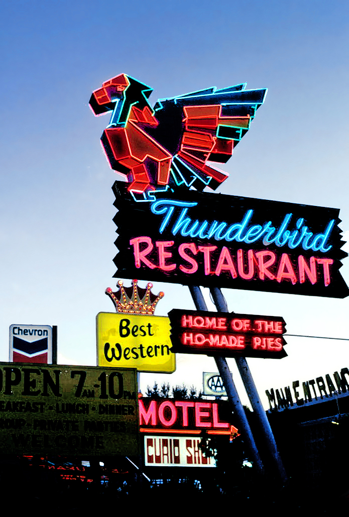
Where US-89 meets SR-9, the Thunderbird and its "Ho-Made Pies" sign have marked the turn toward Zion since the 1930s. It is the last fuel before the park and the easiest breakfast on the route. The Shop Coffee Co. in Orderville, ten minutes earlier, is the other morning stop.
Where to eat around Zion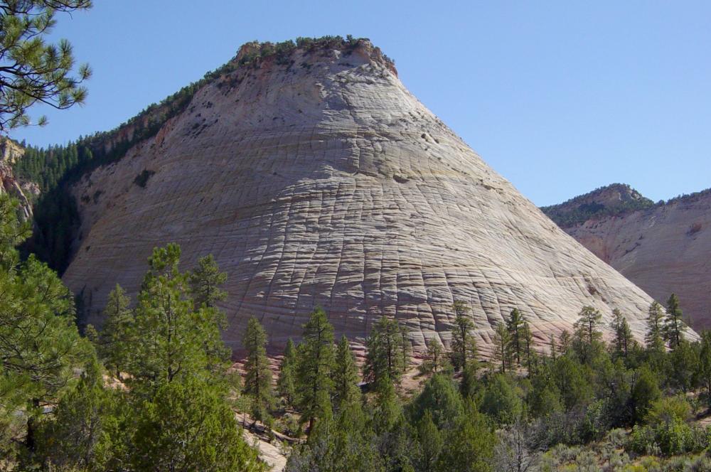
The first thing the park shows you is a dome of Navajo sandstone scored into a grid: horizontal cross-bedding from ancient dunes crossed by vertical fractures. A signed pullout on the right is the place to stop. There is no trail to the top, so treat it as a photograph and a stretch, not a hike.
The east side in detail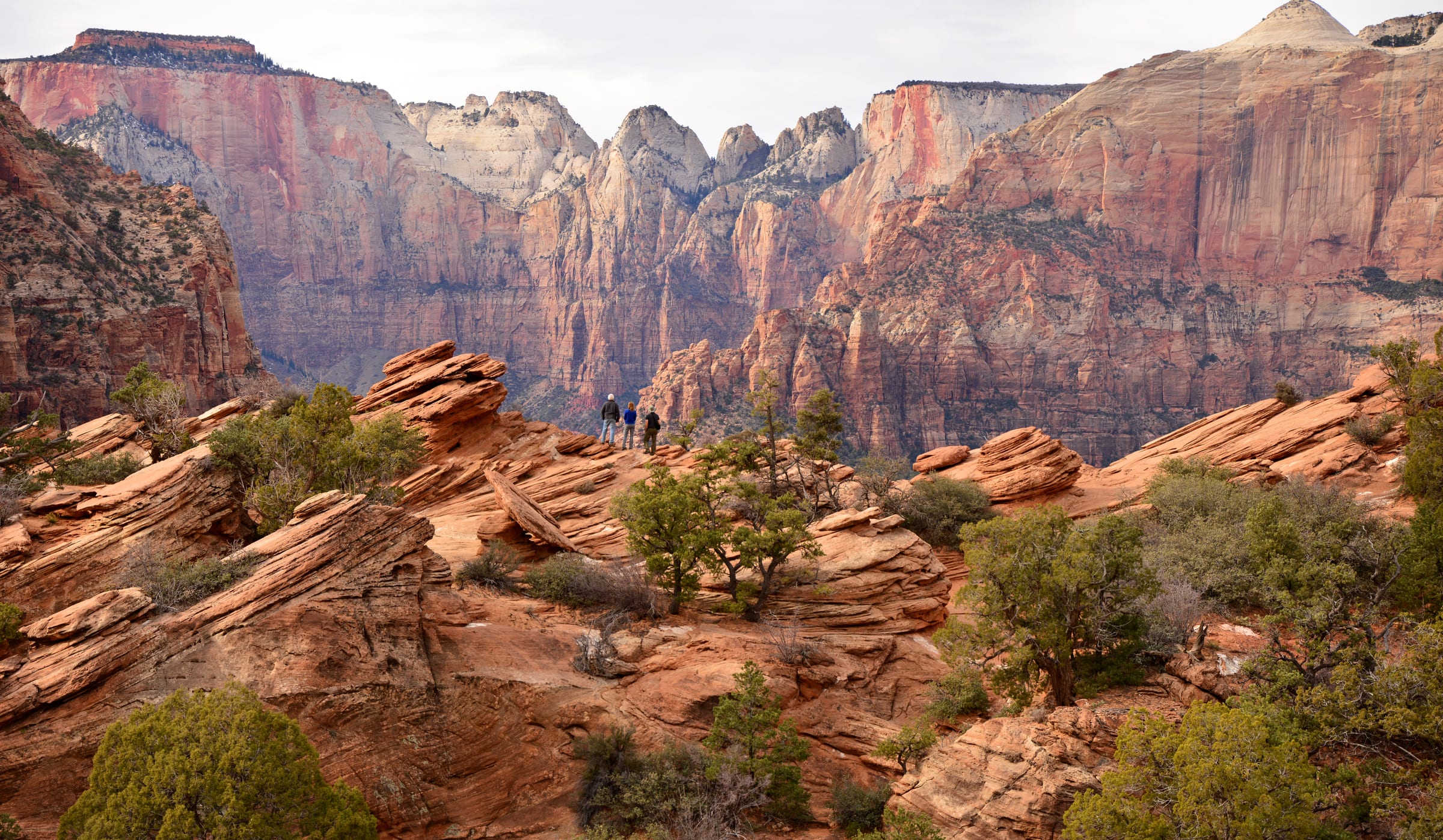
The best view-per-step in Zion starts at the small lot at the tunnel’s east portal, right turns only in and out. Sandstone steps with a handrail climb above a slot canyon, then the trail opens onto slickrock and ends at a fenced ledge facing the Towers of the Virgin. The NPS itself says to be ready to try the lot more than once; arriving from the east at 8 AM usually solves that.
Parking and timing for Canyon Overlook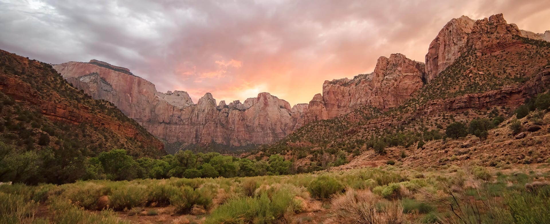
A mile of darkness blasted through the cliff between 1927 and 1930, with gallery windows cut into the canyon side that flash red rock as you pass. Cars, SUVs and pickups drive straight through. Since June 2026 oversize vehicles are banned from the whole highway, so RVs and trailers over the limits must plan a detour.
Tunnel history and the 2026 vehicle rules Pa’rus is Paiute for "bubbling water," and this paved path follows the Virgin River from the visitor center to Canyon Junction with the best views of the Watchman in the park. It is the only Zion trail open to leashed dogs and bicycles, wheelchair friendly, and the NPS names it as a sunset and stargazing spot.
All the easy hikes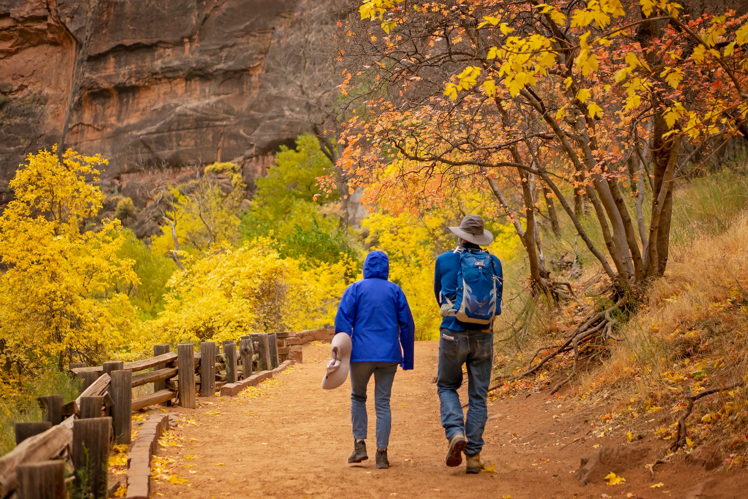
The paved Riverside Walk from the Temple of Sinawava ends at a set of stairs into the river. From there the Narrows is the trail: no permit as far as Big Spring, a strenuous ten miles round trip, and most people are happy with the first hour. The NPS closes it entirely above 150 cfs, which is why the live gauge is on this page.
Gear, flow and how far to go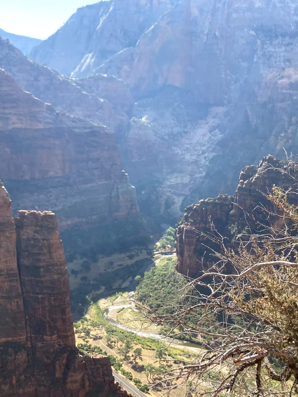
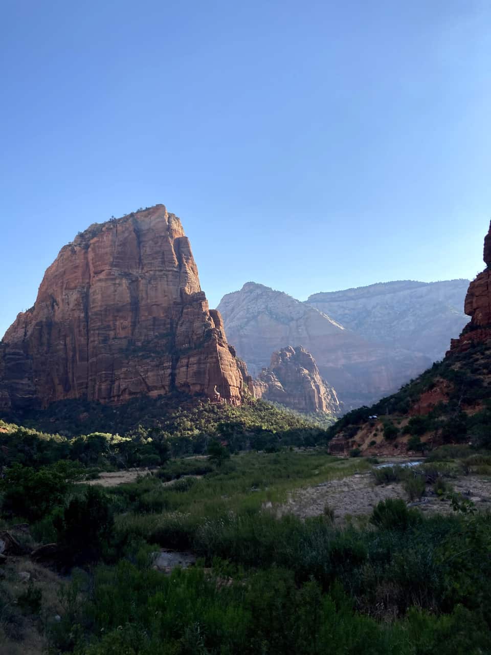
From the Grotto footbridge the West Rim Trail climbs the canyon wall, levels out in the shade of Refrigerator Canyon, then finishes with the 21 switchbacks of Walter’s Wiggles. Scout Lookout sits about a thousand feet above the river with restrooms, condors, and the view in our photos below. Only the final chained ridge to Angels Landing needs a permit.
Angels Landing permits and the lottery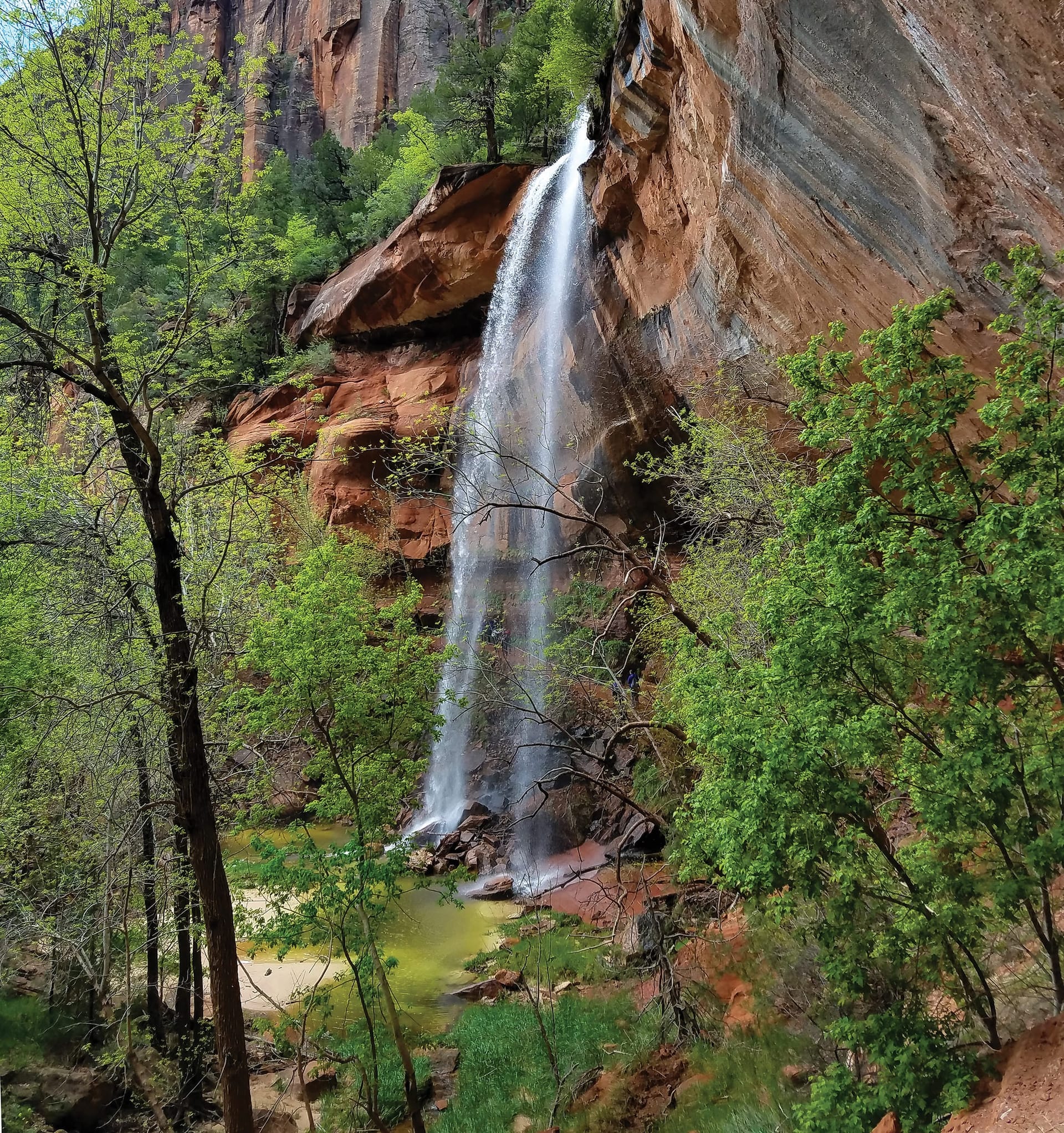
A tiered set of pools fed by seasonal waterfalls, starting across the road from Zion Lodge. The Lower Emerald Pool path is rough-paved and family friendly; the Upper Pool adds stone steps and sand to the base of the cliffs, with Lady Mountain and the Great White Throne in view. The pools are wildlife water, so no swimming.
Moderate hikes compared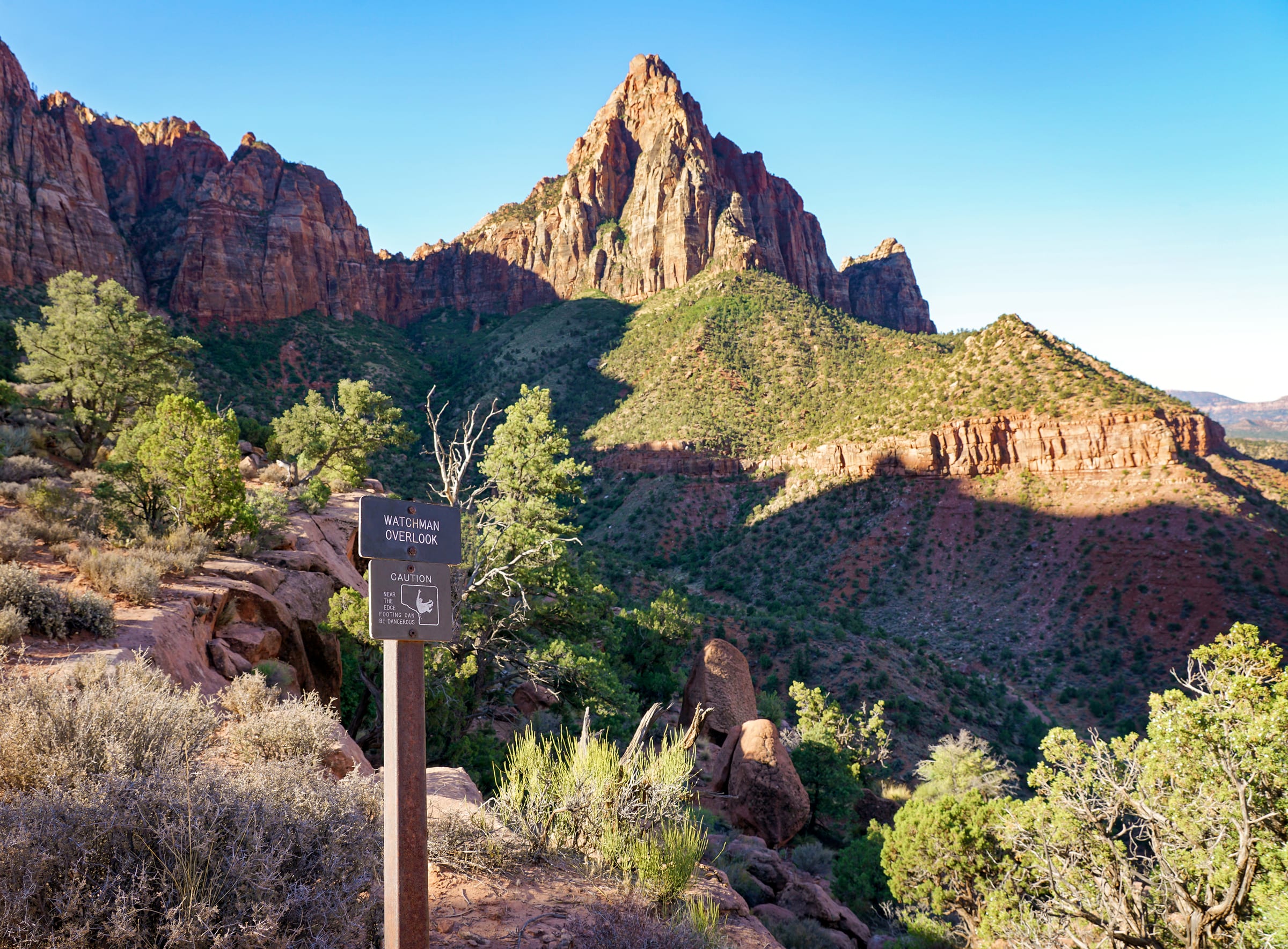
The one canyon hike that starts at the visitor center parking lot, so it works even after the shuttles stop for the day. An unpaved climb to an overlook of the Watchman, the Temples and Towers, and Springdale below, with the late light on the walls that people drive from Las Vegas for.
Watchman Trail details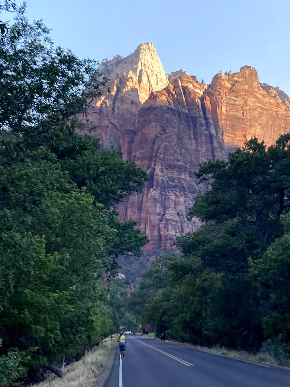
Most cars file out of the park as the light fades. Zion has been an International Dark Sky Park since June 3, 2021, and the NPS points stargazers to the Human History Museum patio and the Pa’rus Trail. Check the moon phase, bring a jacket, and you will have the Milky Way over the Towers of the Virgin. The drive back through the tunnel is empty, and Duck Creek’s own sky at 8,400 feet is waiting at the other end.
NPS stargazing guideOur own hike
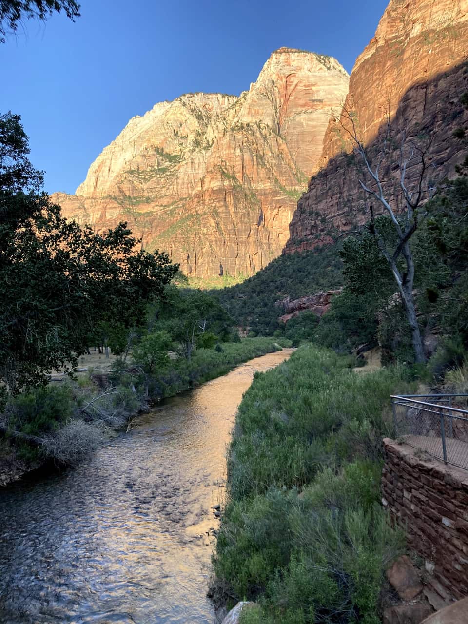
These are our photos, not stock. We left the inn before seven, were on the Zion Lodge road as the sun hit the walls, crossed the Grotto footbridge at eight, and were looking down on the river from Scout Lookout by half past nine. No permit needed for any of it.
The numbers most Zion guides skip
Virgin River right now
Comfortable wading range for the bottom-up walk from the Riverside Walk. Flash-flood risk still depends on the forecast, not the gauge.
The canyon floor and the village are an hour apart and a season apart. The bars show each month's normal daily low to high at both. Plan the canyon for the morning, and expect a jacket on the deck when you get home.
Jeder Guide geht tiefer auf einen Teil des Duck-Creek-Erlebnisses ein.
Zion-Wanderungen nach Schwierigkeit, ausgesucht fuer Tagesgaeste aus Duck Creek
Guide ansehen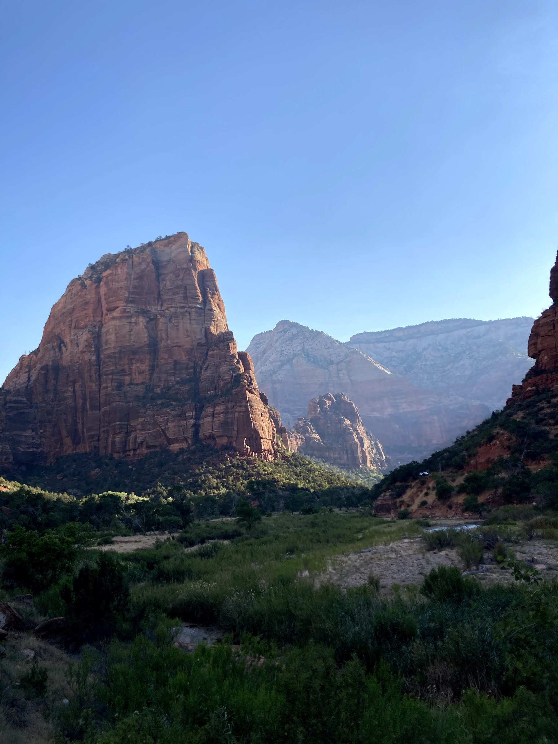
Permit-System, Trail-Details und lokale Tipps fuer eine der beruehmtesten Wanderungen Amerikas
Guide ansehen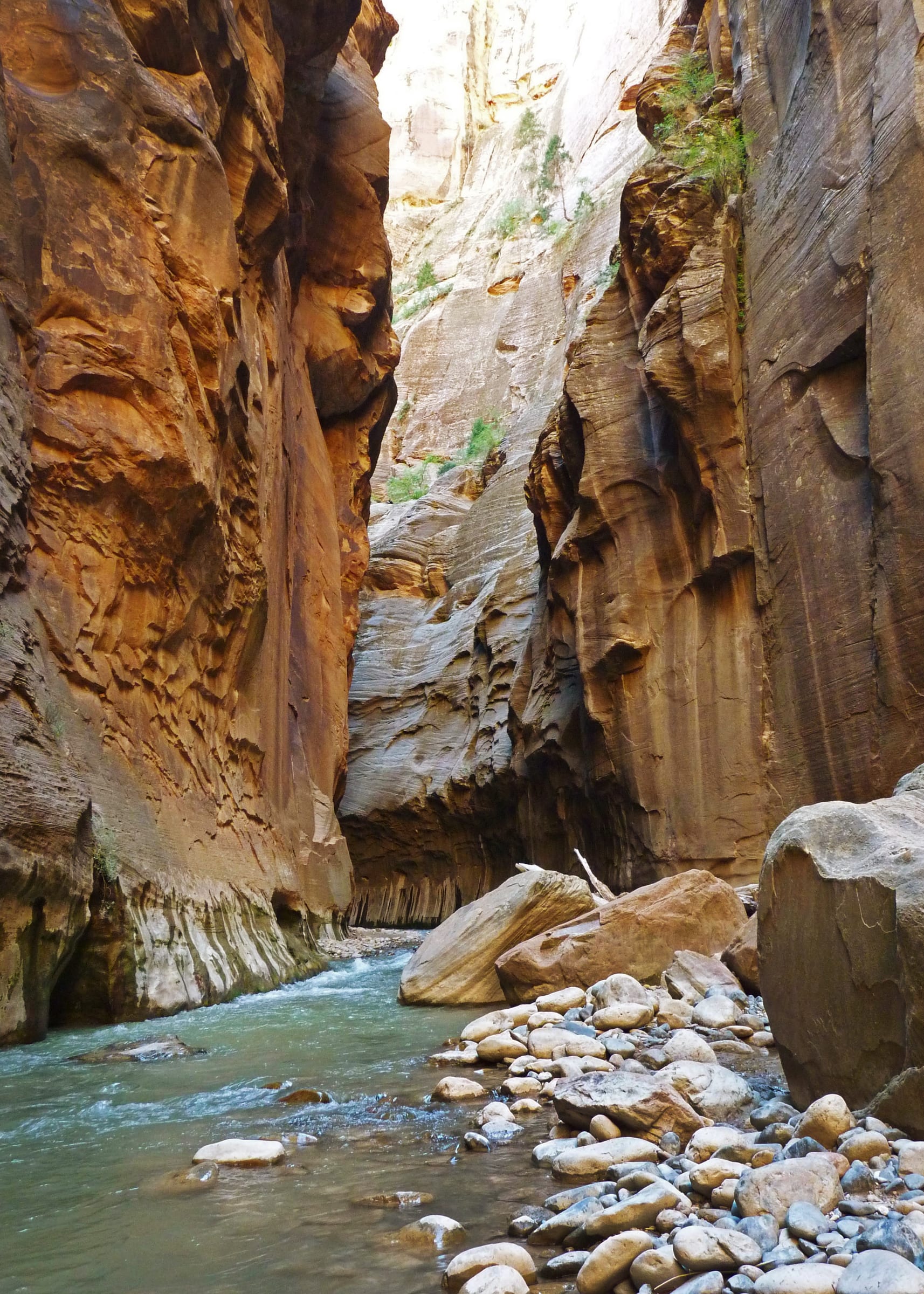
Ausrustung, Bedingungen und wie weit du beim Wandern durch den Virgin River gehen solltest
Guide ansehen Warum die ruhigere Ostseite der beste Zugang von Duck Creek Village aus ist
Guide ansehen Essen rund um Zion - Pie an der Ostroute, Mittagessen im Park und Abendessen in Springdale - mit offiziellen Seiten
Guide ansehen Live-Warnungen, Sperrungen, Oeffnungszeiten und Ranger-Programme - direkt vom National Park Service
Guide ansehenA typical summer plan. In spring and fall shift everything an hour later and the light is even better.
Leave the inn. Coffee in Orderville or pie at Mount Carmel Junction if you skipped breakfast.
Through the east entrance. Pull off for Checkerboard Mesa while the light is low.
Canyon Overlook Trail. Budget an hour, plus patience for a parking spot.
Through the tunnel to the visitor center; board the shuttle at stop 1.
Your anchor: Scout Lookout, the Emerald Pools, or the Riverside Walk and a wade into the Narrows.
Lunch at Zion Lodge or from the cooler; the Pa’rus Trail if the dog came along.
Back east through the tunnel with the sun behind you; no exit traffic on this side.
Home at the inn. Dinner in the village, and the deck for the last of the light.
Zion is open every day of the year, and each season changes the plan. Spring (April and May) and fall (September and October) give the best balance of temperatures, water levels and trail access. Summer is the busiest and hottest stretch: the National Park Service counts 65 percent of the year's visitors between April and September, and the canyon floor's normal July high is 100 degrees. Winter is quiet and beautiful, the east side stays open, and the shuttle pauses from November 29 to December 25, so private cars can drive the scenic road for a few weeks.
From Duck Creek the shoulder seasons are ideal. You wake to cool mornings at 8,400 feet, then drop into the canyon when the light and the temperatures are at their best. In summer, leave the inn by 7 AM: you beat the heat, the Canyon Overlook lot, and the first shuttle line.
The east entrance is why Duck Creek Village works so well as a Zion base. You are an hour from the park with none of the Springdale overhead: no gateway-town prices, no traffic, and cool mountain evenings after a hot day in the canyon. Bryce Canyon and Cedar Breaks are each under an hour the other direction, so a three-night stay covers all three without repacking.
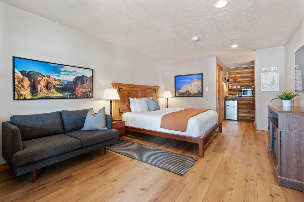
Compare our rooms and cabins to find the right fit. Most guests who come for Zion stay two to four nights and put a slower village day between the park days.

Free printable guide
A short, pretty version of this page for the car: the route, the ten stops in order, the day plan, the tunnel rules, and the links to check the morning you go. Save it before you lose signal on Highway 14.
It also carries our mystery-gift invitation: book a stay with Duck Creek Village Inn and mention the guide at check-in for a small surprise from the inn.
Download the Zion guide (PDF)Free · No email required · English
September 2026
Wir schreiben diese Zion-Guides aus der Perspektive der Gäste im Duck Creek Village Inn - die Route, das Timing und die praktischen Details für einen guten Tagesausflug von der Nordseite. Vor der Fahrt immer die offiziellen NPS-Quellen prüfen.
Die nächsten Fragen, die Reiseplaner normalerweise stellen.
Schneemobilfahren auf dem Markagunt-Plateau, Langlauf und Schneeschuhwandern in Deer Hollow, Skifahren in Brian Head, Eisangeln am Panguitch Lake und stille Winterlandschaften.
Im Dixie National Forest nahe Duck Creek Village entlang des Highway 14.
Ja, wenn genug Schnee liegt, wird das Streckennetz des Markagunt-Plateaus zum Schneemobilgebiet.
Etwa 25 Minuten über Highway 14 und Highway 143.
Buche dein Zimmer oder deine Cabin im Duck Creek Village Inn - etwa eine Stunde vom Zion-Ost-Eingang entfernt mit kühlen Bergabenden und drei Nationalparks in Tagesausflugs-Reichweite.