Meilleures randonnees
Randonnees de Bryce Canyon classees par difficulte, selectionnees pour les excursionnistes venant de Duck Creek
Voir le guide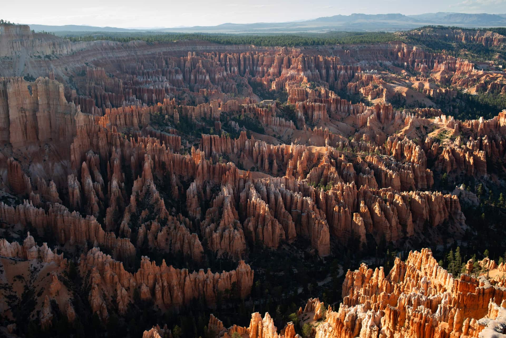
Guide Duck Creek
À environ une heure de Duck Creek Village Inn - hoodoos, vues de crête et meilleures randonnées du sud de l’Utah
En bref
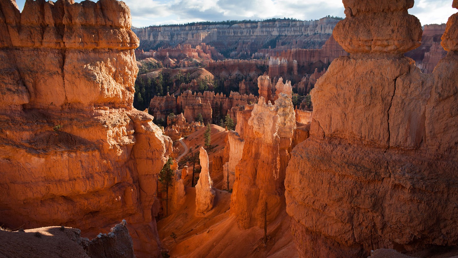
Bryce Canyon National Park se trouve à environ une heure au sud de Duck Creek Village, sur le bord du plateau de Paunsaugunt. Ce n’est pas vraiment un canyon - ce sont des amphithéâtres en forme de cuvette creusés dans le bord du plateau, remplis de milliers de hoodoos aux tons orange, rouge et crème.
Le parc est compact, les principaux belvédères se regroupent près de l’entrée et la plupart des visiteurs peuvent voir les points forts en une demi-journée.
Le trajet depuis Duck Creek descend d’abord vers le nord sur US-89 à travers Long Valley, puis vers l’est sur UT-12 jusqu’à l’entrée du parc. Vous passez des forêts de pins autour de Duck Creek à des paysages de haut désert avant de remonter en altitude.
Si vous séjournez au Duck Creek Village Inn, Bryce est l’excursion idéale: départ après le petit déjeuner, arrivée en milieu de matinée, belvédères de l’amphithéâtre, randonnée Queen’s Garden et Navajo Loop, puis retour pour le dîner.
Unlike Zion, where the shuttle and the Springdale parking hunt shape the whole day, Bryce lets you keep your car. The free shuttle is optional, it runs only in the amphitheater, and nothing south of mile 3 is reachable any other way. The real constraint is parking, not the road: Sunset Point has 115 spaces and still fills on summer mornings, while Agua Canyon on the southern drive has 7. Arrive before nine and neither is a problem.
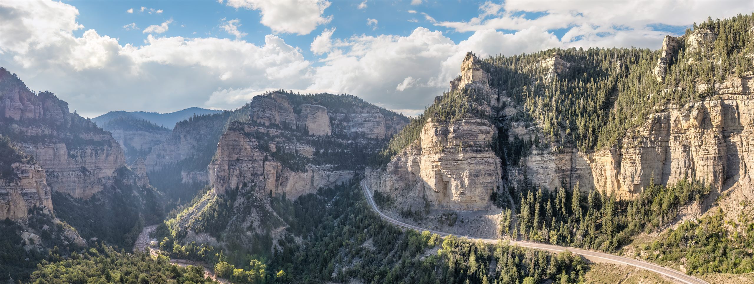
Coming from the inn, the drive itself is part of the reward. Scenic Byway 12 is Utah’s All-American Road, and its first four miles through Red Canyon in Dixie National Forest cut through two rock arches and past hoodoos every bit as red as the ones inside the park, with no fee booth. Pie at Bryce Canyon Pines is six miles before the park turn, and on the way home the light on Red Canyon comes from behind you.
The green line is the road you will actually drive: Highway 14 down to Long Valley Junction, US-89 north through Hatch, Scenic Byway 12 east through Red Canyon, then SR-63 into the park. The amber line is the park road to Rainbow Point, open to your own car all year. The dotted spur is Mossy Cave. Tap any pin for the note we would give you at the front desk.
The interactive map needs JavaScript. The route is SR-14 east to US-89, north through Hatch to Scenic Byway 12, east through Red Canyon, then south on SR-63 into the park.
From Duck Creek Village
Arrive from the north and the park arranges itself: the arches on the way in, the far end of the road while it is empty, the overlooks on the way back, the famous amphitheater when the sunrise crowd has thinned, and the sky after everyone else has left. Here are the ten we send guests to, with the distances the National Park Service publishes for each.
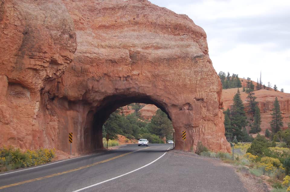
Four miles after you turn onto SR-12 the road threads two arches blasted through a fin of red rock, with hoodoos on both sides and no fee booth. The Forest Service visitor center a mile before them sits at 7,100 feet with restrooms, water and the short Pink Ledges and Hoodoo trails. Use the pullouts for the photograph; the arches are one lane each way.
Red Canyon Visitor Center, Dixie National Forest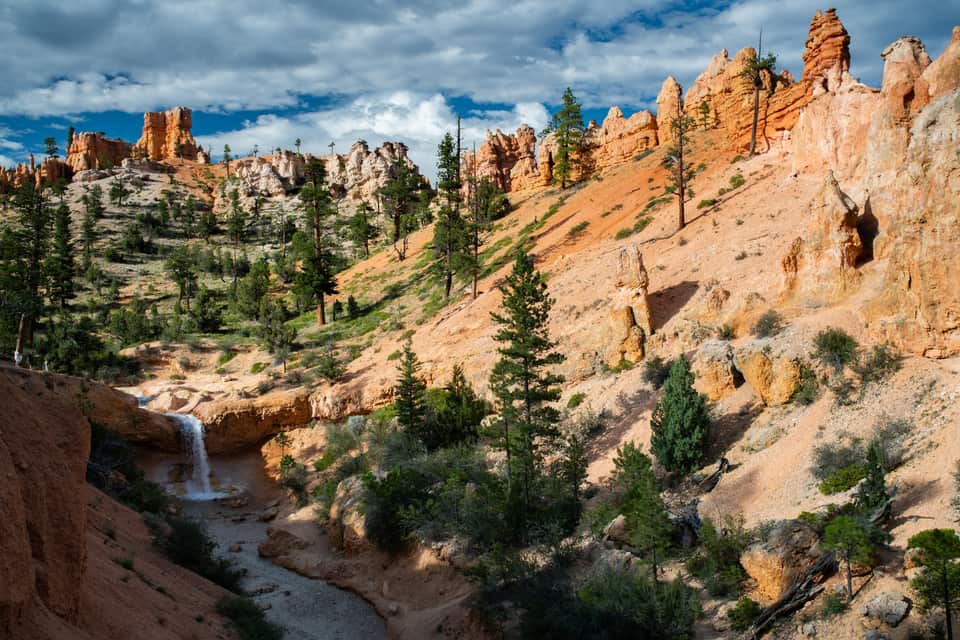
The lowest and northernmost hike in the park is off SR-12 four miles past the park turn, so it fits the drive in or the drive home. A short climb reaches a fork: left to a dripping overhang of moss in summer and icicles in winter, right to a waterfall fed by an old irrigation ditch. No fee booth on this road, but it is a fee area; keep your pass in the windshield.
All the easy hikes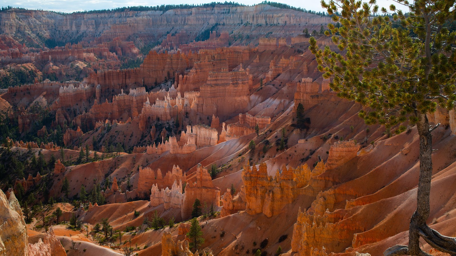
The easiest walk in the park and the best orientation: a paved half mile along the amphitheater rim between the two most famous viewpoints, with Thor’s Hammer below the Sunset Point railing. It is the only Bryce trail open to leashed dogs, it is wheelchair accessible, and the park names Sunrise Point among its top stargazing spots. Sunrise Point has 113 parking spaces and Sunset Point 115; both fill by mid-morning in summer.
The Rim Trail section by section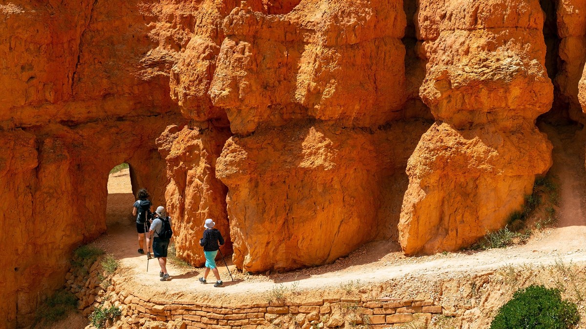
The park’s most popular hike and the one it recommends to first-time visitors. Drop from Sunrise Point through the Queen’s Garden to the Queen Victoria hoodoo, connect to the Navajo Loop, and climb the switchbacks between the walls of Wall Street back to Sunset Point. Hike it clockwise, as the park suggests, and use the Two Bridges side in winter when Wall Street closes for ice.
The combo loop, turn by turn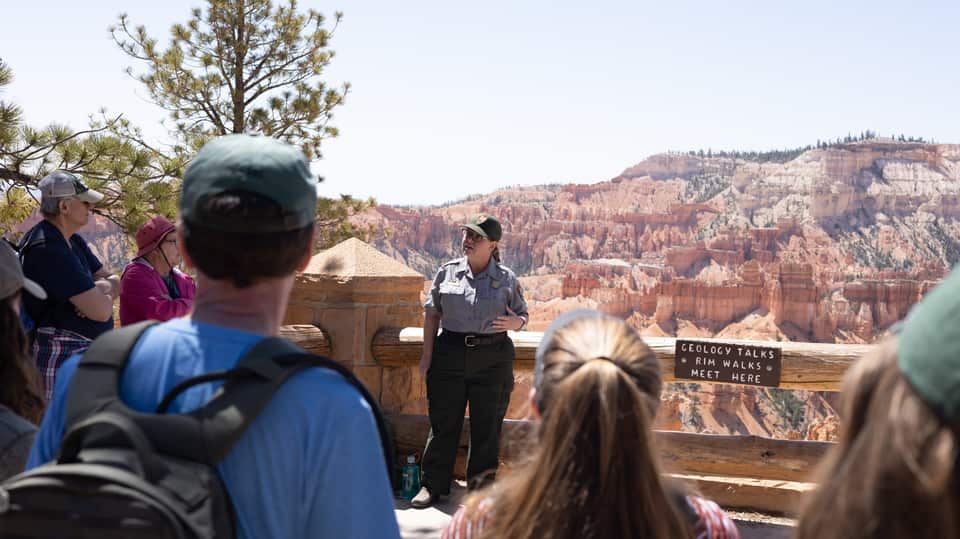
A ranger explains how 170-plus freeze-thaw nights a year pry the limestone apart into hoodoos, standing on the paved rim at Sunset Point with the evidence behind them. No walking, no ticket, about 20 to 30 minutes, and it lands right between the rim walk and the loop hike. The 2 p.m. Rim Walk with a Ranger runs from the same spot in summer.
Ranger program details (NPS)
Inspiration Point is built as three levels, each with its own angle on the Silent City; climb past the first railing for the widest view in the amphitheater. Bryce Point, two miles up a spur, is the one the park calls perhaps the most iconic: the whole bowl seen from the south, with Tropic nearly 3,000 feet below in the Paria Valley. Paria View, the quiet sunset spot, is a short detour off the same spur.
Every viewpoint, mile by mile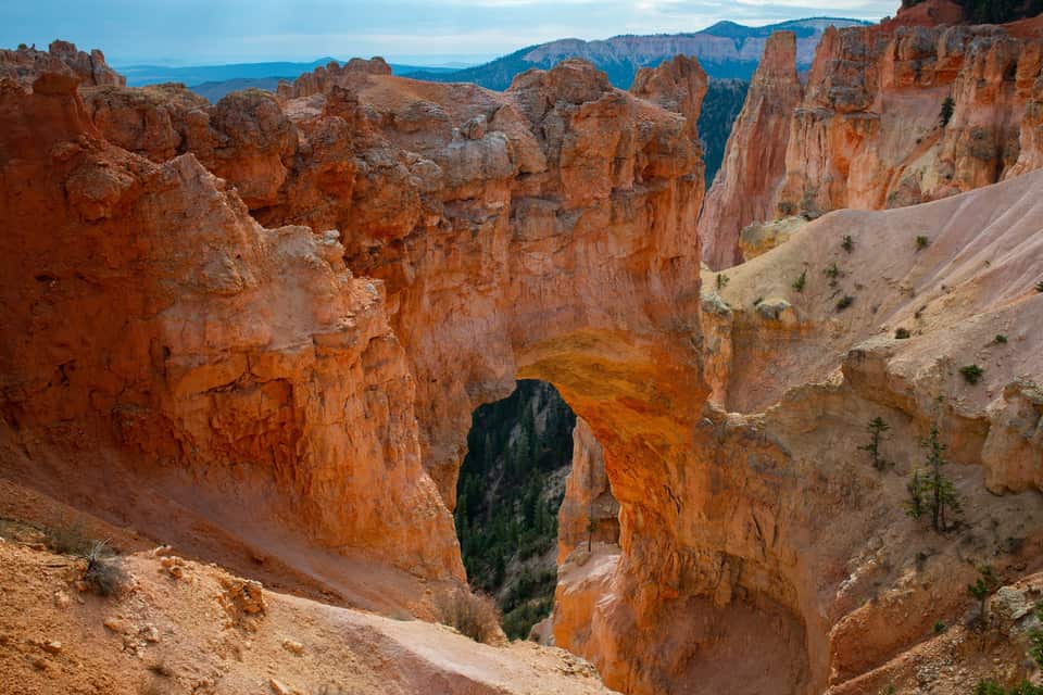
The most photographed feature on the southern road, and not a bridge at all: a window opened by ice expanding in cracks under a hard cap layer, freeze after freeze, with a gully now running more than 125 feet below the span. It is a park-and-look stop with no trail, which makes it the perfect first right-hand pullout on the drive back north from Rainbow Point.
The southern overlooks in order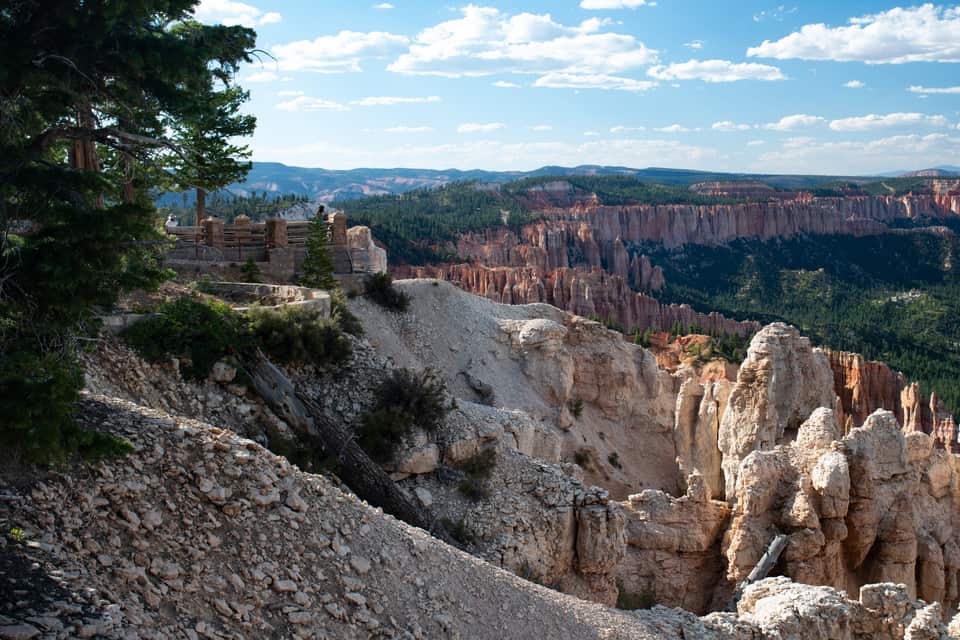
The end of the road and the high point of the park, 660 feet above the inn. Rainbow Point looks back north over the plateau you drove along; walk across the lot to Yovimpa Point and the view turns south across the stepped cliffs of the Grand Staircase. The easy Bristlecone Loop threads spruce and fir past bristlecone pines up to 1,800 years old. Restrooms and 56 parking spaces here, and no shuttle, so you need your car.
Rainbow Point and the drive back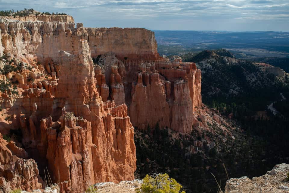
Most visitors drive past the turn. Paria View faces southeast over an amphitheater more than 500 feet deep toward the White Cliffs and the dome of Navajo Mountain, and it is where the park itself sends people at sunset. The lot is closed to oversized vehicles at all times, and the 0.3-mile road closes for winter with the Fairyland spur. Check the sunset time in the sky strip below.
Light, timing and where the crowds are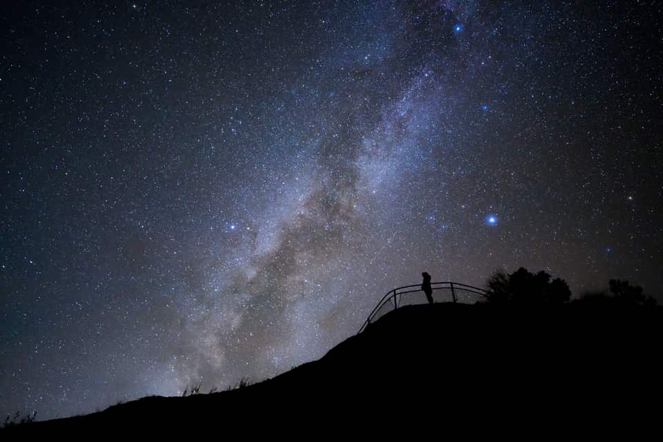
Bryce’s altitude, clean air and distance from cities earned it a Gold Tier International Dark Sky Park designation in 2019, and the park is open all night. The NPS points stargazers to Sunrise, Sunset and Inspiration Points; on a new-moon night the Milky Way arches over the hoodoos, brightest from June through August. The Astronomy Festival runs June 11 to 13, 2026, and ranger full-moon hikes fill by a same-day 4 p.m. lottery at the visitor center. The drive home is 68 minutes of empty highway.
NPS night-sky guideThe numbers most Bryce guides skip
The light at the rim
National Weather Service forecast for Bryce Canyon City
Bryce is the rare park where the climate at the trailhead is the climate at your door. The bars show each month’s normal daily low to high at the park headquarters and at the village. July afternoons at Bryce run about 2 degrees warmer than the village, and a January night at either place drops into the teens. Pack for the inn and you have packed for Bryce.
Each guide covers one piece of the trip so you can go deep on the part that matters to you.
Randonnees de Bryce Canyon classees par difficulte, selectionnees pour les excursionnistes venant de Duck Creek
Voir le guide La randonnee classique parmi les hoodoos - sens de marche, timing et ce qu’il faut attendre
Voir le guide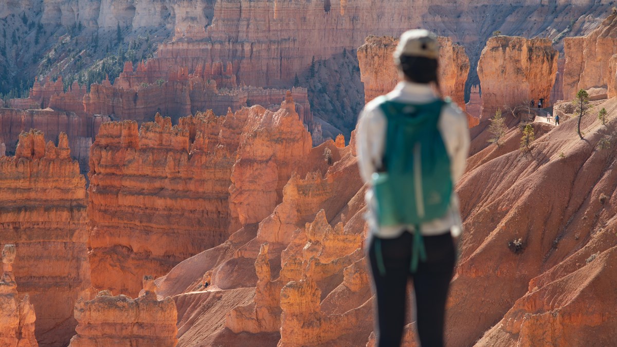
La route de 18 miles a travers le parc, avec tous les points de vue qui valent l’arret
Voir le guide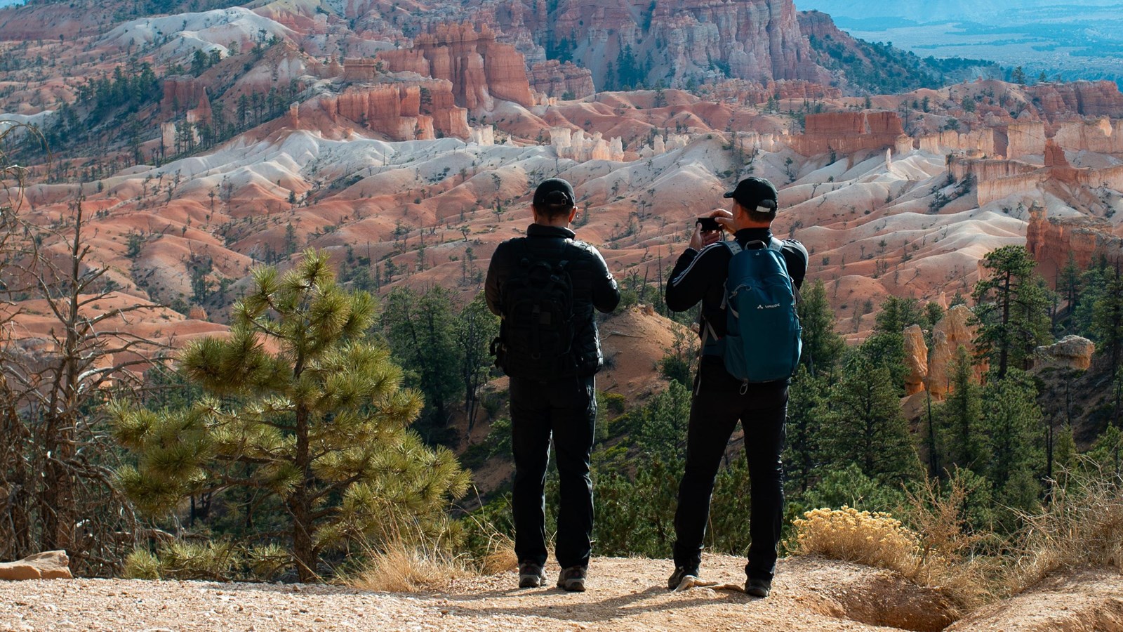
La promenade accessible qui relie les plus beaux belvederes de Bryce Canyon le long de l’amphitheatre
Voir le guide Restaurants pres de Bryce Canyon - dans le parc, a l’entree et a Tropic - avec saisons et sites officiels
Voir le guide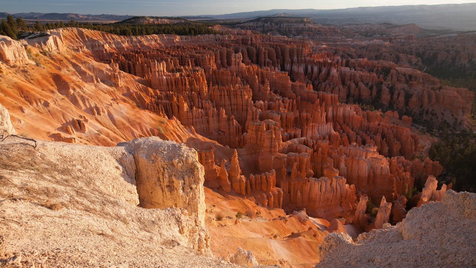
Alertes, fermetures de sentiers, horaires et programmes de rangers en direct - directement du National Park Service
Voir le guideA summer plan that follows the park’s own advice to run south first. In spring and fall shift everything an hour later; in winter check the road beyond mile 3 before you count on Rainbow Point.
Leave the inn. Sunrise chasers: use the sky strip below and leave 90 minutes before sunrise instead.
Red Canyon. Pull off for the arches while the light is low on the rock.
Fee station at the visitor center, then straight south on the park road while it is empty.
Rainbow and Yovimpa Points at 9,115 ft, and the Bristlecone Loop.
Back north with every overlook on your right: Black Birch, Ponderosa, Agua Canyon, Natural Bridge, Farview, Swamp Canyon.
The geology talk at Sunset Point, then down Queen’s Garden and up the Navajo Loop.
Lunch at the lodge or from the cooler. The paved rim back to Sunrise Point if the dog came.
Inspiration Point and Bryce Point, with Paria View if the light is good.
Mossy Cave on the way out, or straight to pie at Bryce Canyon Pines.
Home at the inn. Or stay for the stars and drive home under them.
Bryce est ouvert toute l’année, mais chaque saison change l’expérience. L’été a les journées les plus longues, tous les sentiers ouverts et la navette en service, mais aussi le plus de foule.
Le printemps et l’automne offrent des températures plus douces, moins de monde et une lumière plus favorable à la photo. Certains sentiers peuvent encore être glacés jusqu’en mai.
L’hiver transforme Bryce en décor spectaculaire: neige sur les hoodoos, paysages très photogéniques, route principale dégagée jusqu’à Bryce Point, et plus de calme.
Depuis Duck Creek, les saisons intermédiaires sont idéales. Vous profitez de matinées fraîches à l’auberge, d’une route confortable et de températures de marche agréables. En été, partez avant 9 h si possible.
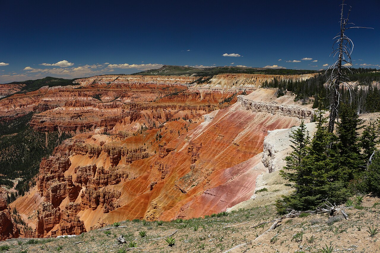
Bryce is the day guests build a stay around. Most pair it with a slower village day or with Cedar Breaks, the smaller amphitheater half an hour from the inn that sits 2,000 feet higher, and then give Zion its own long day through the east entrance. Three nights covers all three without repacking.
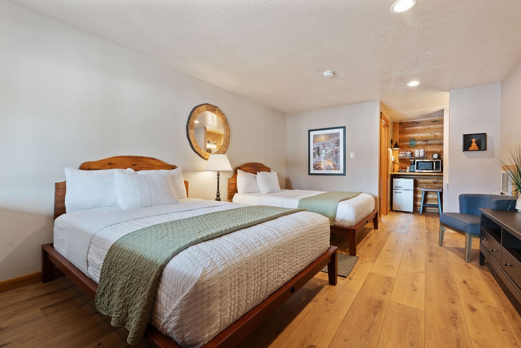
Compare our rooms and cabins to find the right fit. If Bryce is the reason you are coming, the Hoodoo Hideaway is the room named for it.

Free printable guide
A short, pretty version of this page for the car: the route and its elevation, the ten stops in order, the day plan, the parking counts, and the links to check the morning you go. Save it before you lose signal on Highway 14.
It also carries our mystery-gift invitation: book a stay with Duck Creek Village Inn and mention the guide at check-in for a small surprise from the inn.
Download the Bryce guide (PDF)Free · No email required · English
September 2026
We write this guide as innkeepers who send guests up Scenic Byway 12 every week of the year. Every figure comes from a primary source: the National Park Service for trails, parking counts, programs, shuttles and visitation, USGS for the elevations, NOAA for the climate normals, the National Weather Service for the forecast, and the Forest Service for Red Canyon. The photographs of the park are NPS public-domain images, credited where they appear; we have not yet photographed Bryce ourselves and do not pretend otherwise. Fees, shuttle dates and closures change, so verify with the NPS before you go.
Les questions que les voyageurs se posent le plus souvent avant une journée à Bryce.
Oui. Duck Creek Village se trouve à environ une heure de l’entrée du parc. Vous pouvez voir les principaux belvédères de l’amphithéâtre et faire Queen’s Garden + Navajo Loop en une journée.
Le combo Queen’s Garden et Navajo Loop est la randonnée emblématique et celle recommandée par le parc pour une première visite.
La navette gratuite circule d’avril à octobre mais n’est pas obligatoire pour les véhicules de moins de 20 pieds. Elle reste l’option la plus simple aux heures de pointe.
De fin mai à octobre pour la meilleure combinaison entre accès aux sentiers et météo. Septembre et début octobre offrent souvent moins de foule et une belle lumière.
Oui. Le Rim Trail pavé entre Sunrise et Sunset Points est adapté aux poussettes et les belvédères sont suffisamment spectaculaires pour captiver tout le monde.
Réservez votre chambre ou votre cabane au Duck Creek Village Inn - environ une heure de Bryce Canyon, avec des soirées fraîches à la montagne et trois parcs nationaux à portée de route.