Beste wandelingen
Bryce Canyon-wandelingen per moeilijkheidsgraad, geselecteerd voor dagjesmensen uit Duck Creek
Bekijk gids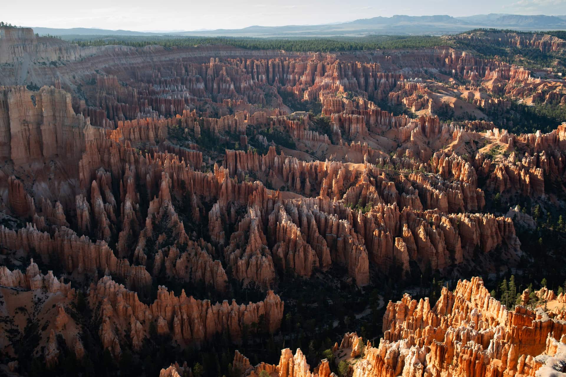
Duck Creek-gids
Ongeveer een uur van Duck Creek Village Inn - hoodoos, uitzicht over de rim en de beste wandelingen in Zuid-Utah
In één oogopslag
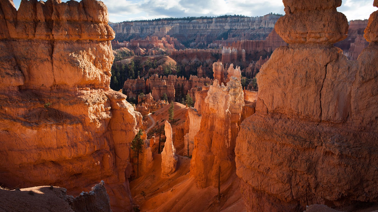
Bryce Canyon National Park ligt ongeveer een uur ten zuiden van Duck Creek Village aan de rand van het Paunsaugunt Plateau. Het is eigenlijk geen canyon - het is een reeks komvormige amfitheaters die uit de rand van het plateau zijn uitgesleten, gevuld met duizenden hoodoos in tinten oranje, rood en crème. Het park is compact, de belangrijkste uitzichtpunten liggen dicht bij de ingang en de meeste bezoekers kunnen de hoogtepunten in een halve dag zien.
De rit vanaf Duck Creek voert je noordwaarts over US-89 door Long Valley en vervolgens oostwaarts over UT-12 naar de ingang van het park. Je daalt af vanuit de dennenbossen rond Duck Creek door hoogwoestijn en weer terug in ponderosa en fir naarmate je hoogte wint - Bryce ligt tussen 8.000 en 9.100 voet, dus de lucht voelt vertrouwd als je aankomt.
Als je in Duck Creek Village Inn verblijft, is Bryce precies het soort dagtrip dat zonder stress werkt. Vertrek na het ontbijt, bereik het park halverwege de ochtend, bekijk de amfitheater-uitzichtpunten, wandel de Queen’s Garden- en Navajo Loop-combinatie en rijd op tijd terug voor het diner. Wil je een langere dag, dan voegt de 18 mijl lange scenic drive naar Rainbow Point rustigere uitzichtpunten en de Bristlecone Loop aan het einde toe.
In tegenstelling tot grotere parken waar je meerdere dagen nodig hebt om de hoogtepunten te zien, is Bryce gemaakt voor efficiënte bezoeken. De vier hoofd-uitzichtpunten van het amfitheater - Sunrise, Sunset, Inspiration en Bryce Point - liggen allemaal binnen de eerste drie mijl van de hoofdweg. Je kunt er te voet over de verharde Rim Trail tussen lopen of gewoon rijden en bij elk punt parkeren.
De Queen’s Garden- en Navajo Loop-combinatie kost de meeste mensen ongeveer twee uur en geeft je de volledige ervaring onder de rim: hoodoos op armlengte, het smalle Wall Street-gedeelte en de klim terug naar de rim met het amfitheater achter je uitgespreid. Voeg de Rim Trail tussen de uitzichtpunten toe en je hebt het beste van Bryce gezien zonder te hoeven haasten.
Vanaf Duck Creek is de terugrit net zo eenvoudig. Rijd westwaarts over UT-12 terug naar US-89, vervolgens zuidwaarts naar UT-14 en weer de berg op naar het dorp. Geen lastige afslagen, geen verkeersopstoppingen - gewoon een uur schilderachtig rijden en je bent thuis.
The green line is the road you will actually drive: Highway 14 down to Long Valley Junction, US-89 north through Hatch, Scenic Byway 12 east through Red Canyon, then SR-63 into the park. The amber line is the park road to Rainbow Point, open to your own car all year. The dotted spur is Mossy Cave. Tap any pin for the note we would give you at the front desk.
The interactive map needs JavaScript. The route is SR-14 east to US-89, north through Hatch to Scenic Byway 12, east through Red Canyon, then south on SR-63 into the park.
From Duck Creek Village
Arrive from the north and the park arranges itself: the arches on the way in, the far end of the road while it is empty, the overlooks on the way back, the famous amphitheater when the sunrise crowd has thinned, and the sky after everyone else has left. Here are the ten we send guests to, with the distances the National Park Service publishes for each.
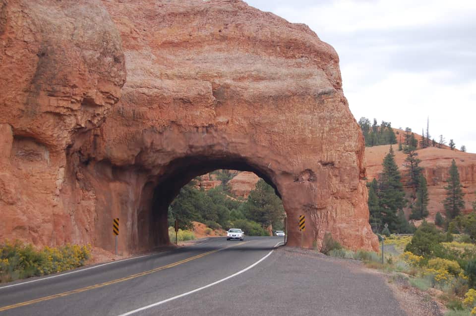
Four miles after you turn onto SR-12 the road threads two arches blasted through a fin of red rock, with hoodoos on both sides and no fee booth. The Forest Service visitor center a mile before them sits at 7,100 feet with restrooms, water and the short Pink Ledges and Hoodoo trails. Use the pullouts for the photograph; the arches are one lane each way.
Red Canyon Visitor Center, Dixie National Forest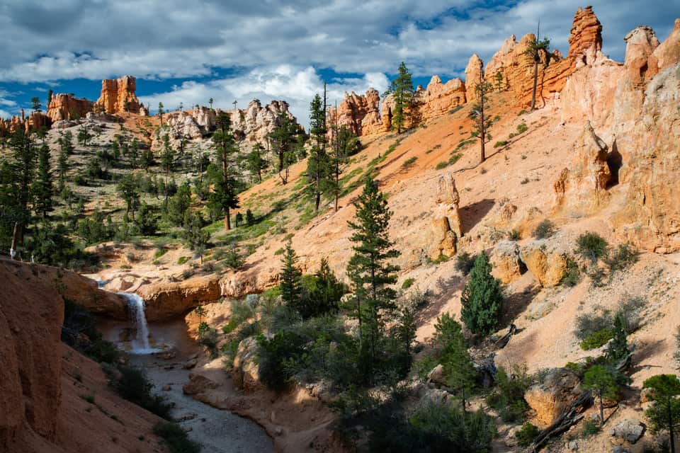
The lowest and northernmost hike in the park is off SR-12 four miles past the park turn, so it fits the drive in or the drive home. A short climb reaches a fork: left to a dripping overhang of moss in summer and icicles in winter, right to a waterfall fed by an old irrigation ditch. No fee booth on this road, but it is a fee area; keep your pass in the windshield.
All the easy hikes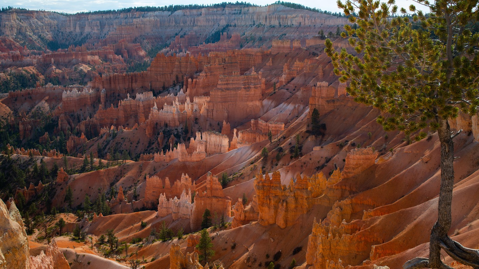
The easiest walk in the park and the best orientation: a paved half mile along the amphitheater rim between the two most famous viewpoints, with Thor’s Hammer below the Sunset Point railing. It is the only Bryce trail open to leashed dogs, it is wheelchair accessible, and the park names Sunrise Point among its top stargazing spots. Sunrise Point has 113 parking spaces and Sunset Point 115; both fill by mid-morning in summer.
The Rim Trail section by section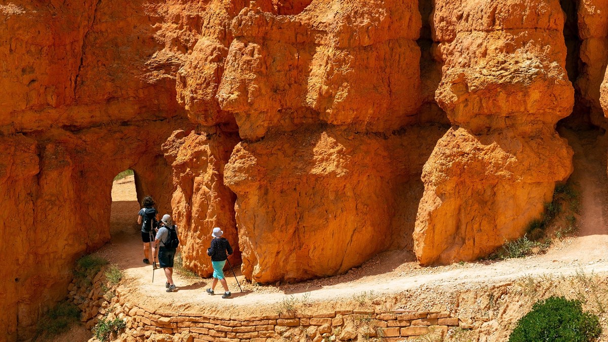
The park’s most popular hike and the one it recommends to first-time visitors. Drop from Sunrise Point through the Queen’s Garden to the Queen Victoria hoodoo, connect to the Navajo Loop, and climb the switchbacks between the walls of Wall Street back to Sunset Point. Hike it clockwise, as the park suggests, and use the Two Bridges side in winter when Wall Street closes for ice.
The combo loop, turn by turn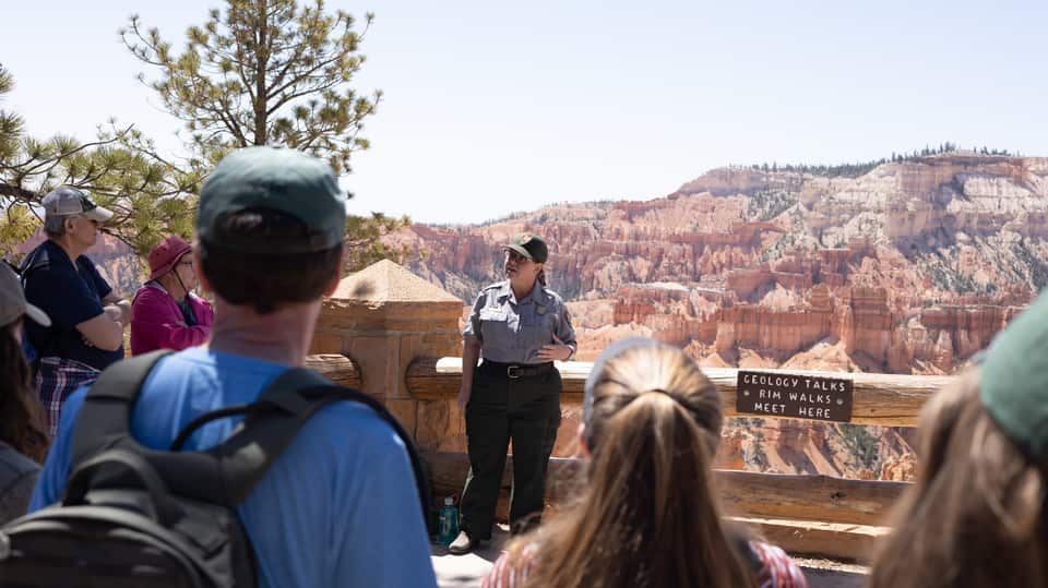
A ranger explains how 170-plus freeze-thaw nights a year pry the limestone apart into hoodoos, standing on the paved rim at Sunset Point with the evidence behind them. No walking, no ticket, about 20 to 30 minutes, and it lands right between the rim walk and the loop hike. The 2 p.m. Rim Walk with a Ranger runs from the same spot in summer.
Ranger program details (NPS)
Inspiration Point is built as three levels, each with its own angle on the Silent City; climb past the first railing for the widest view in the amphitheater. Bryce Point, two miles up a spur, is the one the park calls perhaps the most iconic: the whole bowl seen from the south, with Tropic nearly 3,000 feet below in the Paria Valley. Paria View, the quiet sunset spot, is a short detour off the same spur.
Every viewpoint, mile by mile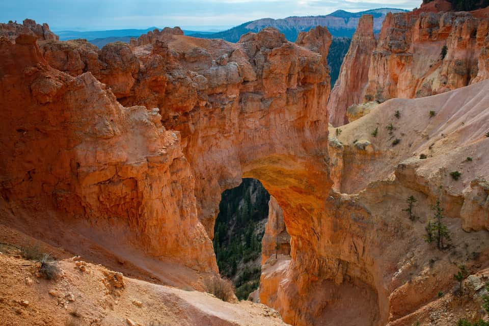
The most photographed feature on the southern road, and not a bridge at all: a window opened by ice expanding in cracks under a hard cap layer, freeze after freeze, with a gully now running more than 125 feet below the span. It is a park-and-look stop with no trail, which makes it the perfect first right-hand pullout on the drive back north from Rainbow Point.
The southern overlooks in order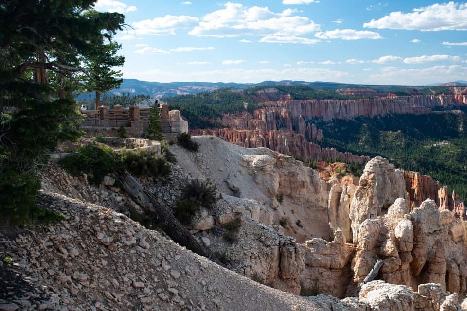
The end of the road and the high point of the park, 660 feet above the inn. Rainbow Point looks back north over the plateau you drove along; walk across the lot to Yovimpa Point and the view turns south across the stepped cliffs of the Grand Staircase. The easy Bristlecone Loop threads spruce and fir past bristlecone pines up to 1,800 years old. Restrooms and 56 parking spaces here, and no shuttle, so you need your car.
Rainbow Point and the drive back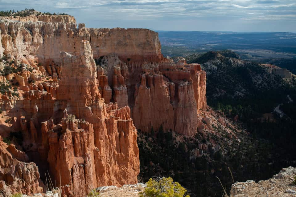
Most visitors drive past the turn. Paria View faces southeast over an amphitheater more than 500 feet deep toward the White Cliffs and the dome of Navajo Mountain, and it is where the park itself sends people at sunset. The lot is closed to oversized vehicles at all times, and the 0.3-mile road closes for winter with the Fairyland spur. Check the sunset time in the sky strip below.
Light, timing and where the crowds are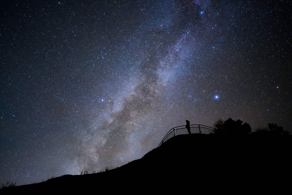
Bryce’s altitude, clean air and distance from cities earned it a Gold Tier International Dark Sky Park designation in 2019, and the park is open all night. The NPS points stargazers to Sunrise, Sunset and Inspiration Points; on a new-moon night the Milky Way arches over the hoodoos, brightest from June through August. The Astronomy Festival runs June 11 to 13, 2026, and ranger full-moon hikes fill by a same-day 4 p.m. lottery at the visitor center. The drive home is 68 minutes of empty highway.
NPS night-sky guideThe numbers most Bryce guides skip
The light at the rim
National Weather Service forecast for Bryce Canyon City
Bryce is the rare park where the climate at the trailhead is the climate at your door. The bars show each month’s normal daily low to high at the park headquarters and at the village. July afternoons at Bryce run about 2 degrees warmer than the village, and a January night at either place drops into the teens. Pack for the inn and you have packed for Bryce.
Elke gids behandelt een deel van de trip, zodat je je kunt richten op wat voor jou het belangrijkst is.
Bryce Canyon-wandelingen per moeilijkheidsgraad, geselecteerd voor dagjesmensen uit Duck Creek
Bekijk gids De klassieke combinatiewandeling door de hoodoos - richting, timing en wat je kunt verwachten
Bekijk gids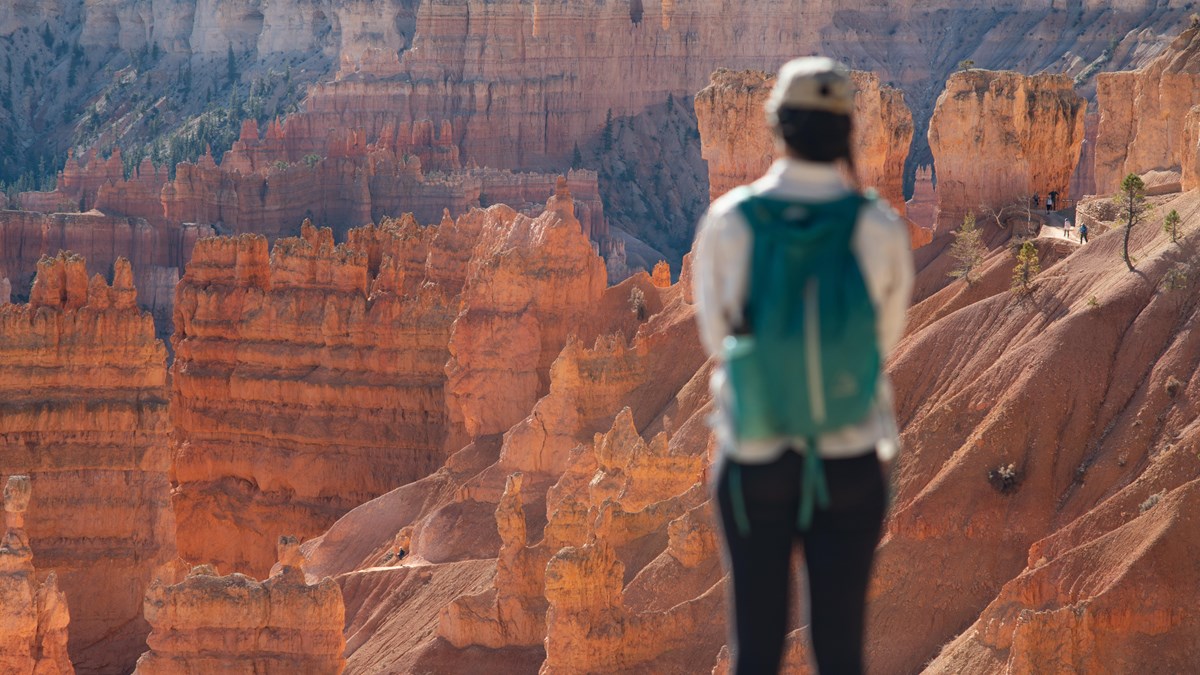
De 18 mijl lange weg door het park met elk uitzichtpunt dat de moeite waard is
Bekijk gids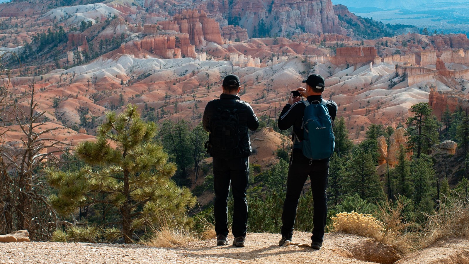
De toegankelijke wandeling langs de beste uitzichtpunten aan de rand van het Bryce-amfitheater
Bekijk gids Restaurants bij Bryce Canyon - in het park, bij de ingang en in Tropic - met seizoenen en officiele websites
Bekijk gids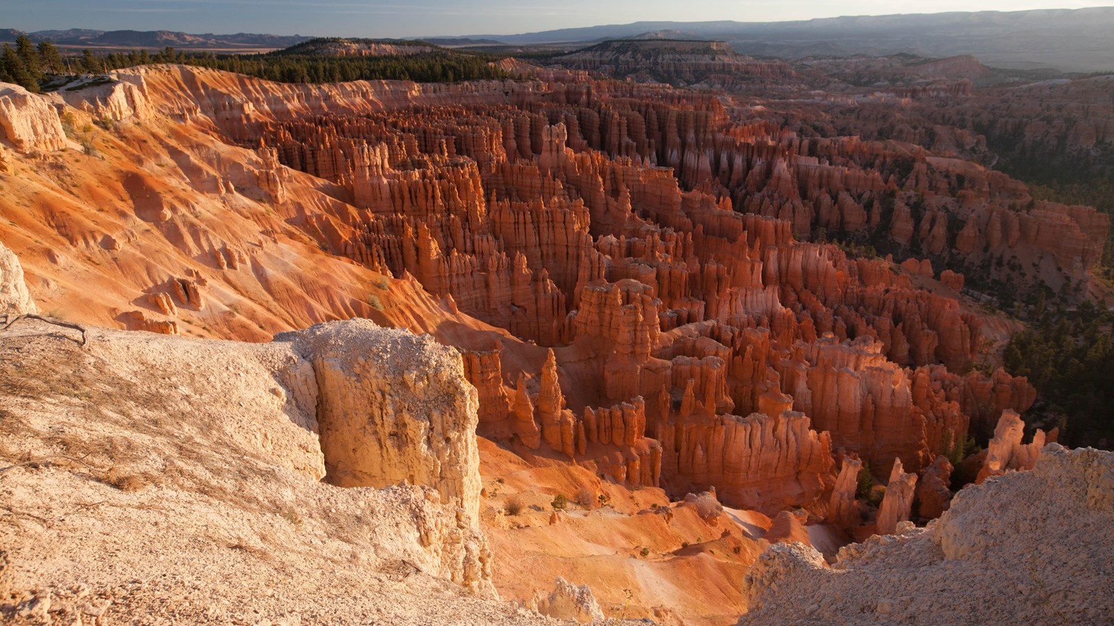
Live waarschuwingen, trailsluitingen, openingstijden en rangerprogramma’s - rechtstreeks van de National Park Service
Bekijk gidsA summer plan that follows the park’s own advice to run south first. In spring and fall shift everything an hour later; in winter check the road beyond mile 3 before you count on Rainbow Point.
Leave the inn. Sunrise chasers: use the sky strip below and leave 90 minutes before sunrise instead.
Red Canyon. Pull off for the arches while the light is low on the rock.
Fee station at the visitor center, then straight south on the park road while it is empty.
Rainbow and Yovimpa Points at 9,115 ft, and the Bristlecone Loop.
Back north with every overlook on your right: Black Birch, Ponderosa, Agua Canyon, Natural Bridge, Farview, Swamp Canyon.
The geology talk at Sunset Point, then down Queen’s Garden and up the Navajo Loop.
Lunch at the lodge or from the cooler. The paved rim back to Sunrise Point if the dog came.
Inspiration Point and Bryce Point, with Paria View if the light is good.
Mossy Cave on the way out, or straight to pie at Bryce Canyon Pines.
Home at the inn. Or stay for the stars and drive home under them.
Bryce is het hele jaar open, maar elk seizoen verandert de ervaring. Zomer (juni-augustus) heeft de langste dagen, alle trails open en de shuttle rijdt - maar ook de meeste drukte en de volste parkeerplaatsen. Lente (april-mei) en herfst (september-oktober) bieden mildere temperaturen, minder drukte en beter licht voor fotografie. Sommige trails kunnen tot in mei nog ijzige plekken hebben.
In de winter ziet Bryce er bijna buitenaards uit - sneeuw op de hoodoos levert enkele van de meest gefotografeerde scènes in het park op. De hoofdweg blijft geveegd tot Bryce Point (verder gelegen uitzichtpunten sluiten seizoensmatig), en de Rim Trail en sommige onder-rim-secties blijven open met tractiemiddelen. Het is stiller, kouder en prachtig.
Vanuit Duck Creek zijn de tussenseizoenen ideaal. Je krijgt koele ochtenden in het dorp, een comfortabele rit naar beneden en prettige wandeltemperaturen. Bezoek je in de zomer, vertrek dan vóór 9 uur om de parkeerdruk te vermijden.
Zodra Bryce op je lijst staat, gebruik Plan je dagen om een volledig reisschema te bouwen waarin een Bryce-dag wordt gecombineerd met dichterbij gelegen uitstapjes zoals Cedar Breaks, Navajo Lake of een rustigere wandel-dag bij het dorp. Vergelijk onze kamers en cabins om de trip te laten passen bij wat je wilt - en vergeet niet dat Duck Creek ook ongeveer een uur van Zion National Park ligt, dus meerpark-trips werken goed vanaf deze basis.

Free printable guide
A short, pretty version of this page for the car: the route and its elevation, the ten stops in order, the day plan, the parking counts, and the links to check the morning you go. Save it before you lose signal on Highway 14.
It also carries our mystery-gift invitation: book a stay with Duck Creek Village Inn and mention the guide at check-in for a small surprise from the inn.
Download the Bryce guide (PDF)Free · No email required · English
September 2026
We schrijven deze Bryce Canyon-gidsen vanuit het perspectief van gasten die in Duck Creek Village Inn verblijven - de route, de timing en de praktische details die ertoe doen wanneer je een dagtrip maakt vanaf de noordkant. Controleer voor vertrek de officiële NPS-bronnen.
De vragen die reisplanners meestal als volgende stellen.
Ja. Duck Creek Village ligt ongeveer een uur van de ingang van het park. Je kunt de belangrijkste uitzichtpunten van het amfitheater zien en de Queen’s Garden–Navajo Loop-combinatie comfortabel in één dag wandelen, met tijd om naar Rainbow Point te rijden als je vroeg vertrekt.
De combinatie van Queen’s Garden en Navajo Loop (2,9 mijl, 550 ft hoogteverschil) is de signatuurwandeling en degene die de parkdienst aanbeveelt voor eerste bezoekers. Je gaat onder de rim door tussen de hoodoos en klimt via de Navajo Loop-switchbacks weer omhoog.
De gratis shuttle rijdt van april tot oktober, maar is niet verplicht voor voertuigen onder 20 voet. Toch lopen de parkeerplaatsen in de zomer vroeg vol, dus de shuttle is tijdens drukke uren de makkelijkste optie. Buiten het shuttleseizoen rijd je gewoon zelf naar elk uitzichtpunt en trailhead.
Laat in mei tot oktober geeft je de beste combinatie van trailtoegang en weer. De zomer is het drukst; september en begin oktober bieden minder drukte en mooi licht. Winterbezoeken zijn mogelijk, maar sommige trails sluiten wanneer het ijzig is.
Ja. De verharde Rim Trail tussen Sunrise en Sunset Point is geschikt voor kinderwagens en de uitzichtpunten zijn dramatisch genoeg om iedereen geboeid te houden. Het Queen’s Garden-pad is de mildste optie onder de rim voor gezinnen met oudere kinderen.
Boek je kamer of cabin bij Duck Creek Village Inn - ongeveer een uur van Bryce Canyon met koele bergavonden en drie nationale parken binnen dagtripbereik.