Beste Wanderungen
Bryce-Canyon-Wanderungen nach Schwierigkeit, ausgesucht fuer Tagesgaeste aus Duck Creek
Guide ansehen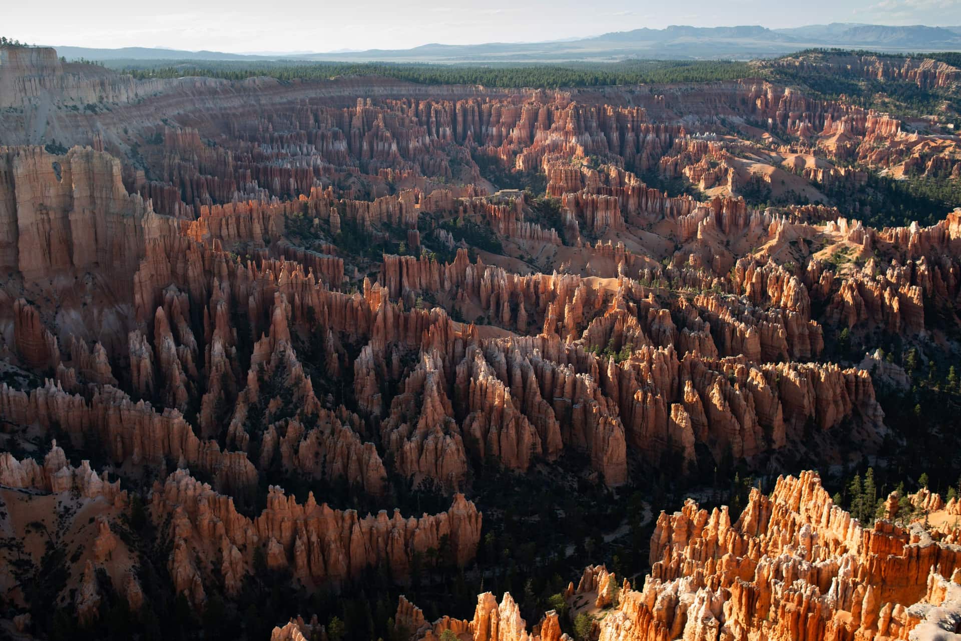
Duck-Creek-Guide
Etwa eine Stunde vom Duck Creek Village Inn entfernt - Hoodoos, Rim-Blicke und die besten Wanderungen in Southern Utah
Auf einen Blick
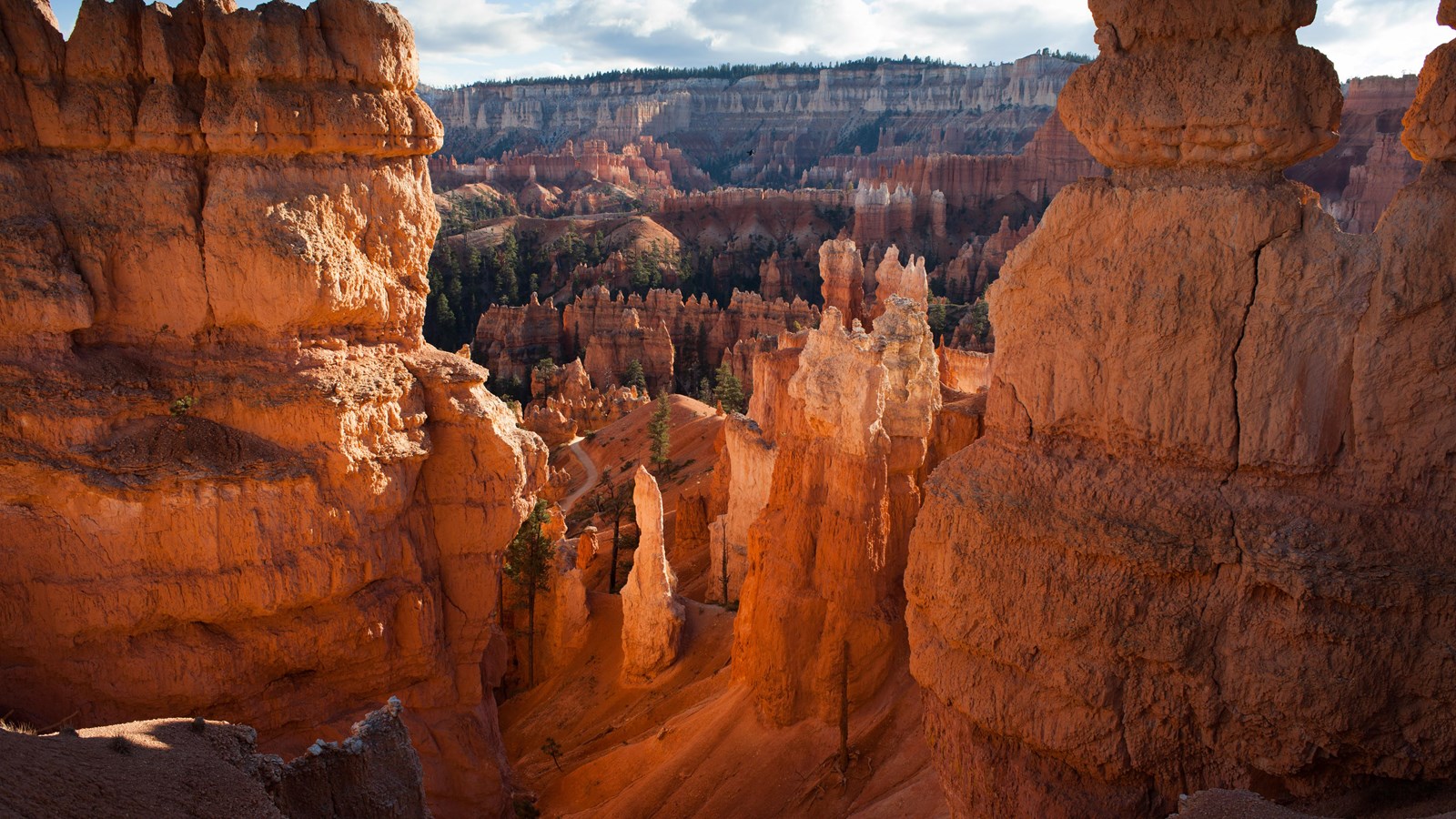
Bryce Canyon National Park liegt rund eine Stunde südlich von Duck Creek Village am Rand des Paunsaugunt Plateau. Es ist kein eigentlicher Canyon, sondern eine Reihe von schalenförmigen Amphitheatern am Plateau-Rand, gefüllt mit Tausenden Hoodoos in Orange-, Rot- und Cremetönen. Der Park ist kompakt, die wichtigsten Aussichtspunkte liegen nah am Eingang, und die meisten Besucher sehen die Highlights in einem halben Tag.
Die Fahrt von Duck Creek führt dich auf der US-89 durch Long Valley und dann auf der UT-12 Richtung Parkeingang. Du fährst von den Kiefernwäldern rund um Duck Creek durch Hochwüste und wieder in Ponderosa und Tanne, wenn du an Höhe gewinnst - Bryce liegt zwischen 8.000 und 9.100 Fuß, also fühlt sich die Luft bei der Ankunft vertraut an.
Wenn du im Duck Creek Village Inn übernachtest, ist Bryce ein unkomplizierter Tagesausflug. Nach dem Frühstück losfahren, gegen Vormittag im Park sein, die Amphitheater-Aussichtspunkte sehen, die Queen's-Garden-/Navajo-Loop-Kombi wandern und rechtzeitig zum Abendessen zurückfahren. Wer einen längeren Tag möchte, kann die 18-Meilen-Panoramastraße bis Rainbow Point nehmen - dort warten ruhigere Aussichtspunkte und der Bristlecone Loop am Ende der Straße.
Unlike Zion, where the shuttle and the Springdale parking hunt shape the whole day, Bryce lets you keep your car. The free shuttle is optional, it runs only in the amphitheater, and nothing south of mile 3 is reachable any other way. The real constraint is parking, not the road: Sunset Point has 115 spaces and still fills on summer mornings, while Agua Canyon on the southern drive has 7. Arrive before nine and neither is a problem.
Coming from the inn, the drive itself is part of the reward. Scenic Byway 12 is Utah’s All-American Road, and its first four miles through Red Canyon in Dixie National Forest cut through two rock arches and past hoodoos every bit as red as the ones inside the park, with no fee booth. Pie at Bryce Canyon Pines is six miles before the park turn, and on the way home the light on Red Canyon comes from behind you.
The green line is the road you will actually drive: Highway 14 down to Long Valley Junction, US-89 north through Hatch, Scenic Byway 12 east through Red Canyon, then SR-63 into the park. The amber line is the park road to Rainbow Point, open to your own car all year. The dotted spur is Mossy Cave. Tap any pin for the note we would give you at the front desk.
The interactive map needs JavaScript. The route is SR-14 east to US-89, north through Hatch to Scenic Byway 12, east through Red Canyon, then south on SR-63 into the park.
From Duck Creek Village
Arrive from the north and the park arranges itself: the arches on the way in, the far end of the road while it is empty, the overlooks on the way back, the famous amphitheater when the sunrise crowd has thinned, and the sky after everyone else has left. Here are the ten we send guests to, with the distances the National Park Service publishes for each.
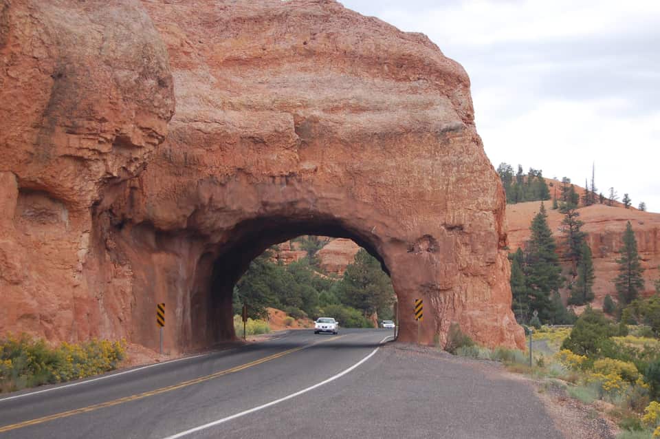
Four miles after you turn onto SR-12 the road threads two arches blasted through a fin of red rock, with hoodoos on both sides and no fee booth. The Forest Service visitor center a mile before them sits at 7,100 feet with restrooms, water and the short Pink Ledges and Hoodoo trails. Use the pullouts for the photograph; the arches are one lane each way.
Red Canyon Visitor Center, Dixie National Forest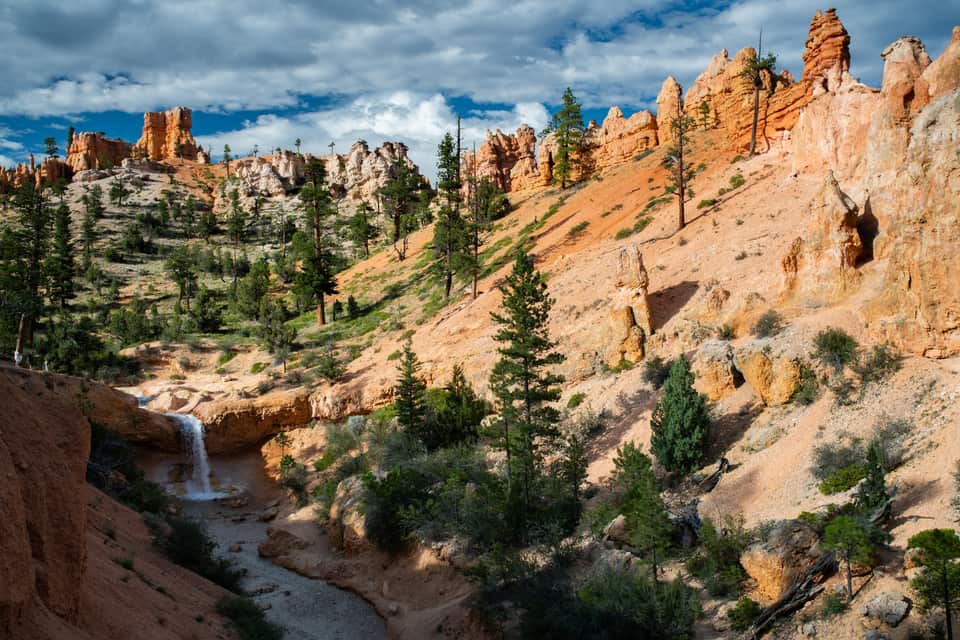
The lowest and northernmost hike in the park is off SR-12 four miles past the park turn, so it fits the drive in or the drive home. A short climb reaches a fork: left to a dripping overhang of moss in summer and icicles in winter, right to a waterfall fed by an old irrigation ditch. No fee booth on this road, but it is a fee area; keep your pass in the windshield.
All the easy hikes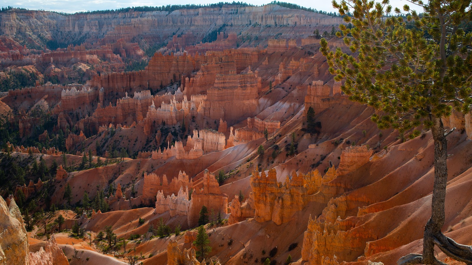
The easiest walk in the park and the best orientation: a paved half mile along the amphitheater rim between the two most famous viewpoints, with Thor’s Hammer below the Sunset Point railing. It is the only Bryce trail open to leashed dogs, it is wheelchair accessible, and the park names Sunrise Point among its top stargazing spots. Sunrise Point has 113 parking spaces and Sunset Point 115; both fill by mid-morning in summer.
The Rim Trail section by section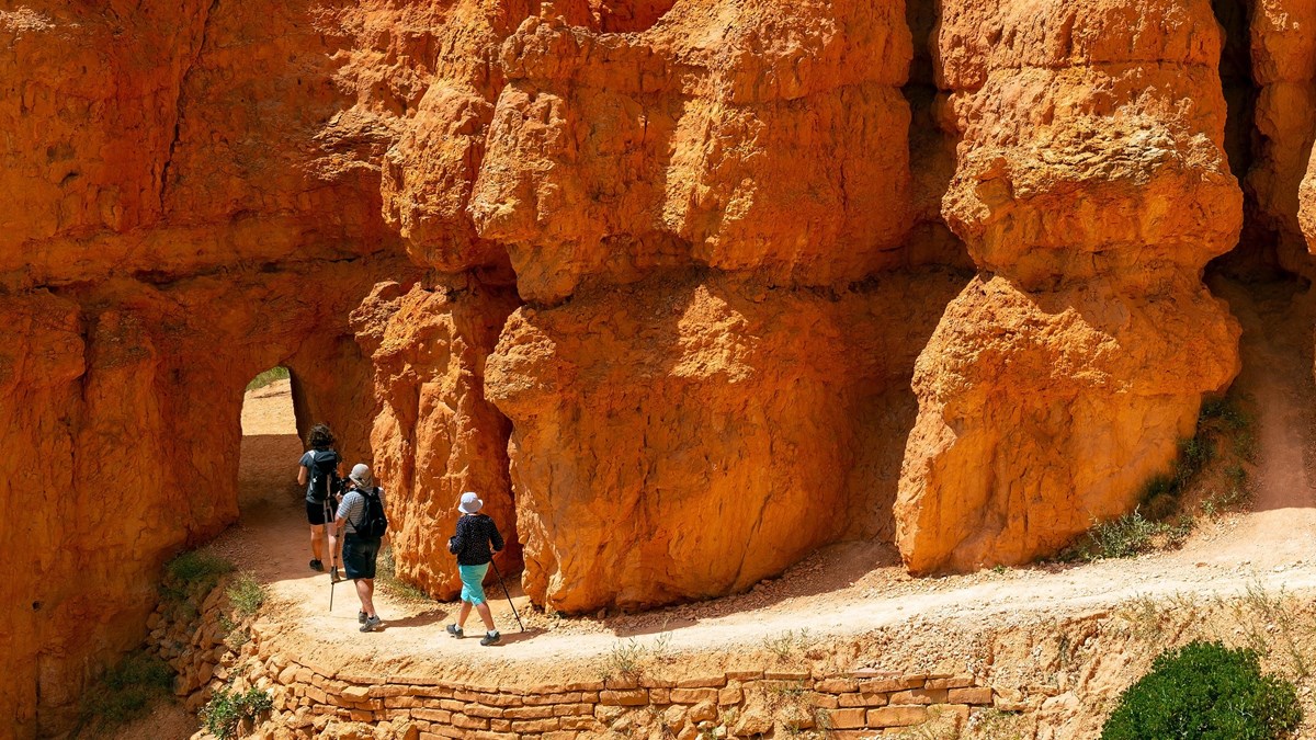
The park’s most popular hike and the one it recommends to first-time visitors. Drop from Sunrise Point through the Queen’s Garden to the Queen Victoria hoodoo, connect to the Navajo Loop, and climb the switchbacks between the walls of Wall Street back to Sunset Point. Hike it clockwise, as the park suggests, and use the Two Bridges side in winter when Wall Street closes for ice.
The combo loop, turn by turn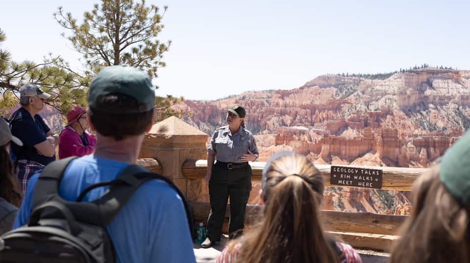
A ranger explains how 170-plus freeze-thaw nights a year pry the limestone apart into hoodoos, standing on the paved rim at Sunset Point with the evidence behind them. No walking, no ticket, about 20 to 30 minutes, and it lands right between the rim walk and the loop hike. The 2 p.m. Rim Walk with a Ranger runs from the same spot in summer.
Ranger program details (NPS)
Inspiration Point is built as three levels, each with its own angle on the Silent City; climb past the first railing for the widest view in the amphitheater. Bryce Point, two miles up a spur, is the one the park calls perhaps the most iconic: the whole bowl seen from the south, with Tropic nearly 3,000 feet below in the Paria Valley. Paria View, the quiet sunset spot, is a short detour off the same spur.
Every viewpoint, mile by mile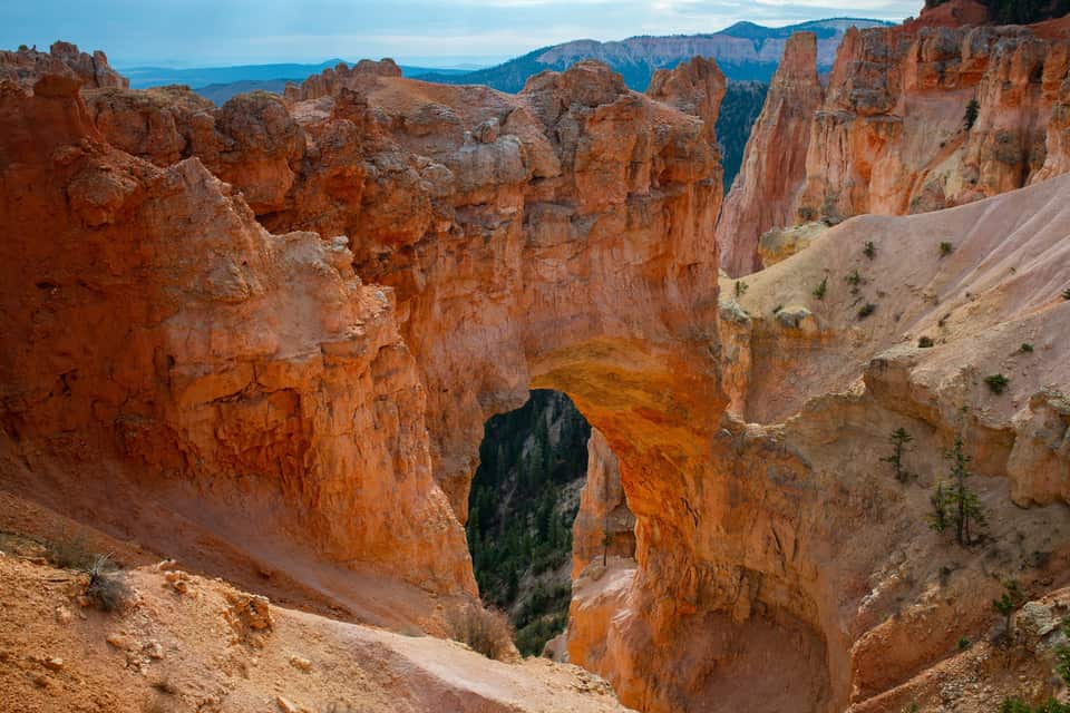
The most photographed feature on the southern road, and not a bridge at all: a window opened by ice expanding in cracks under a hard cap layer, freeze after freeze, with a gully now running more than 125 feet below the span. It is a park-and-look stop with no trail, which makes it the perfect first right-hand pullout on the drive back north from Rainbow Point.
The southern overlooks in order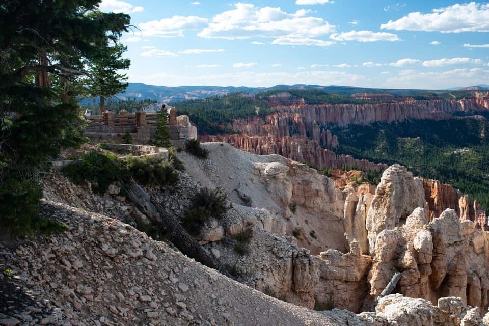
The end of the road and the high point of the park, 660 feet above the inn. Rainbow Point looks back north over the plateau you drove along; walk across the lot to Yovimpa Point and the view turns south across the stepped cliffs of the Grand Staircase. The easy Bristlecone Loop threads spruce and fir past bristlecone pines up to 1,800 years old. Restrooms and 56 parking spaces here, and no shuttle, so you need your car.
Rainbow Point and the drive back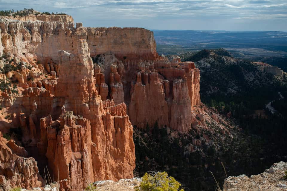
Most visitors drive past the turn. Paria View faces southeast over an amphitheater more than 500 feet deep toward the White Cliffs and the dome of Navajo Mountain, and it is where the park itself sends people at sunset. The lot is closed to oversized vehicles at all times, and the 0.3-mile road closes for winter with the Fairyland spur. Check the sunset time in the sky strip below.
Light, timing and where the crowds are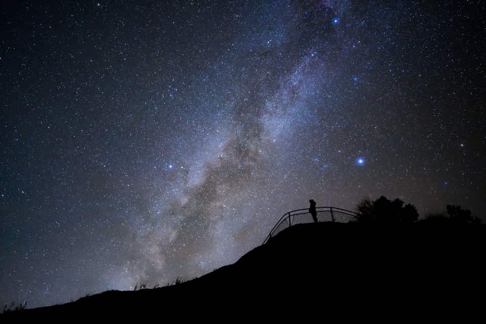
Bryce’s altitude, clean air and distance from cities earned it a Gold Tier International Dark Sky Park designation in 2019, and the park is open all night. The NPS points stargazers to Sunrise, Sunset and Inspiration Points; on a new-moon night the Milky Way arches over the hoodoos, brightest from June through August. The Astronomy Festival runs June 11 to 13, 2026, and ranger full-moon hikes fill by a same-day 4 p.m. lottery at the visitor center. The drive home is 68 minutes of empty highway.
NPS night-sky guideThe numbers most Bryce guides skip
The light at the rim
National Weather Service forecast for Bryce Canyon City
Bryce is the rare park where the climate at the trailhead is the climate at your door. The bars show each month’s normal daily low to high at the park headquarters and at the village. July afternoons at Bryce run about 2 degrees warmer than the village, and a January night at either place drops into the teens. Pack for the inn and you have packed for Bryce.
Each guide covers one piece of the trip so you can go deep on the part that matters to you.
Bryce-Canyon-Wanderungen nach Schwierigkeit, ausgesucht fuer Tagesgaeste aus Duck Creek
Guide ansehen Die klassische Kombi-Wanderung durch die Hoodoos - Richtung, Timing und was dich erwartet
Guide ansehen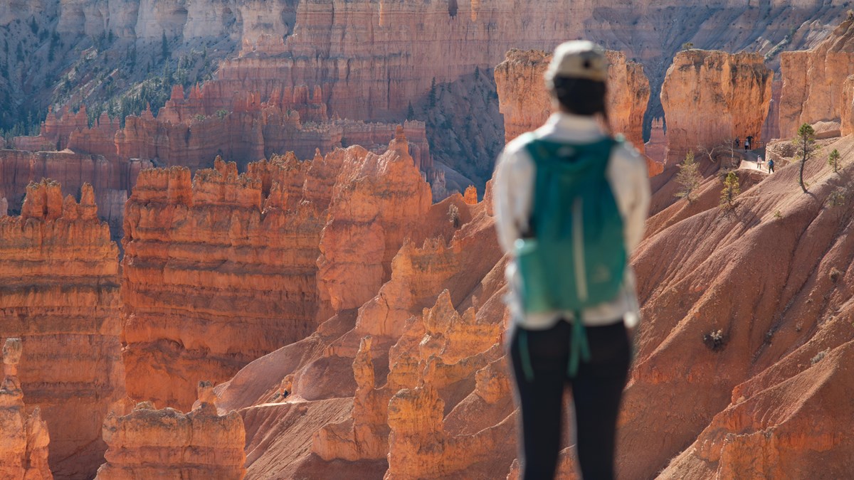
Die 18-Meilen-Strasse durch den Park mit allen Aussichtspunkten, die sich lohnen
Guide ansehen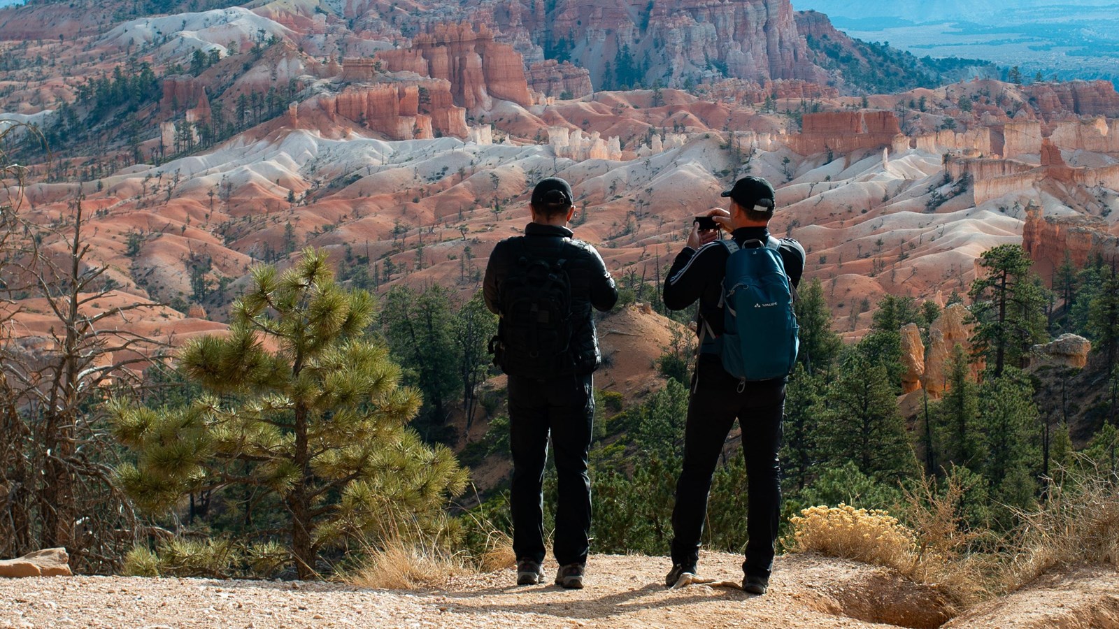
Der zugaengliche Spaziergang entlang der besten Aussichten am Amphitheater-Rand
Guide ansehen Restaurants nahe Bryce Canyon - im Park, am Eingang und in Tropic - mit Saisonzeiten und offiziellen Seiten
Guide ansehen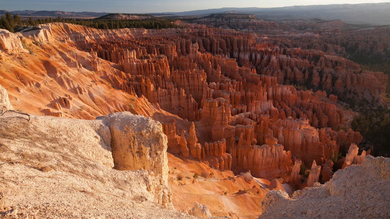
Live-Warnungen, Trail-Sperrungen, Oeffnungszeiten und Ranger-Programme - direkt vom National Park Service
Guide ansehenA summer plan that follows the park’s own advice to run south first. In spring and fall shift everything an hour later; in winter check the road beyond mile 3 before you count on Rainbow Point.
Leave the inn. Sunrise chasers: use the sky strip below and leave 90 minutes before sunrise instead.
Red Canyon. Pull off for the arches while the light is low on the rock.
Fee station at the visitor center, then straight south on the park road while it is empty.
Rainbow and Yovimpa Points at 9,115 ft, and the Bristlecone Loop.
Back north with every overlook on your right: Black Birch, Ponderosa, Agua Canyon, Natural Bridge, Farview, Swamp Canyon.
The geology talk at Sunset Point, then down Queen’s Garden and up the Navajo Loop.
Lunch at the lodge or from the cooler. The paved rim back to Sunrise Point if the dog came.
Inspiration Point and Bryce Point, with Paria View if the light is good.
Mossy Cave on the way out, or straight to pie at Bryce Canyon Pines.
Home at the inn. Or stay for the stars and drive home under them.
Bryce is open 24 hours a day, every day, and the National Park Service says May through September are the busiest months. Summer means every trail open, the shuttle running and afternoon thunderstorms in July and August, when the park headquarters station records its wettest weeks. Spring and fall are the sweet spot: the amphitheater trails open as the ice retreats in April and May, and September and October bring dry air, gold aspens on the drive over and the first dustings of snow on the hoodoos. Winter is when Bryce looks otherworldly. The station averages 86.7 inches of snow a year, the main road is plowed to Rainbow Point between storms, and the amphitheater rim stays walkable with traction devices.
From Duck Creek the shoulder seasons are ideal, and the drive over Highway 14 is the thing to watch in winter: the park is often reachable when the road from the village is the harder part. Check our road-conditions page and the park conditions page the morning you go.
Bryce is the day guests build a stay around. Most pair it with a slower village day or with Cedar Breaks, the smaller amphitheater half an hour from the inn that sits 2,000 feet higher, and then give Zion its own long day through the east entrance. Three nights covers all three without repacking.
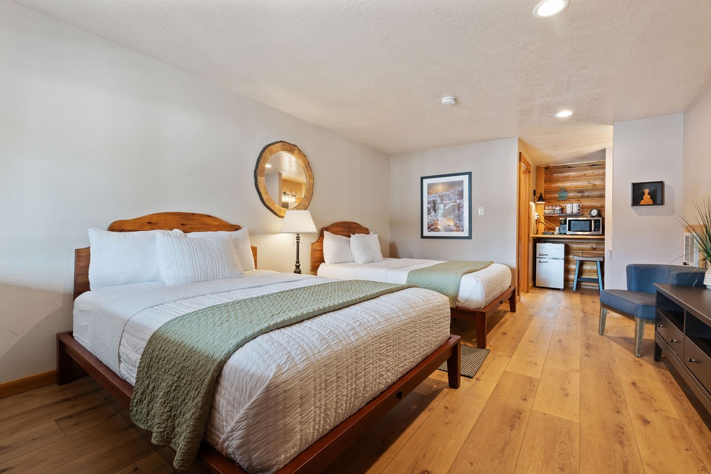
Compare our rooms and cabins to find the right fit. If Bryce is the reason you are coming, the Hoodoo Hideaway is the room named for it.

Free printable guide
A short, pretty version of this page for the car: the route and its elevation, the ten stops in order, the day plan, the parking counts, and the links to check the morning you go. Save it before you lose signal on Highway 14.
It also carries our mystery-gift invitation: book a stay with Duck Creek Village Inn and mention the guide at check-in for a small surprise from the inn.
Download the Bryce guide (PDF)Free · No email required · English
September 2026
Wir schreiben diese Bryce-Canyon-Guides aus der Perspektive der Gäste im Duck Creek Village Inn - die Route, das Timing und die praktischen Details, die bei einem Tagesausflug von der Nordseite wirklich zählen. Vor der Fahrt immer die offiziellen NPS-Quellen prüfen.
Die naechsten Fragen, die Reiseplaner normalerweise stellen.
Bryce Canyon National Park is one of the easiest full-day national-park outings from Duck Creek Village.
Bryce Canyon National Park liegt laut den aktuellen Guide-Daten ~1 Std. je Strecke vom Hotel vom Duck Creek Village Inn entfernt.
Bryce is open year-round, but each season changes the experience. Summer has the easiest access and longest days. Spring and fall bring milder temperatures and fewer crowds. Winter adds snow on the hoodoos and strong photography conditions if roads and trails cooperate.
Buche dein Zimmer oder deine Cabin im Duck Creek Village Inn - etwa eine Stunde von Bryce Canyon entfernt, mit kühlen Bergabenden und drei Nationalparks in Tagesausflugs-Reichweite.