Mejores rutas
Senderos de Bryce Canyon por dificultad, pensados para excursiones de un dia desde Duck Creek
Ver guía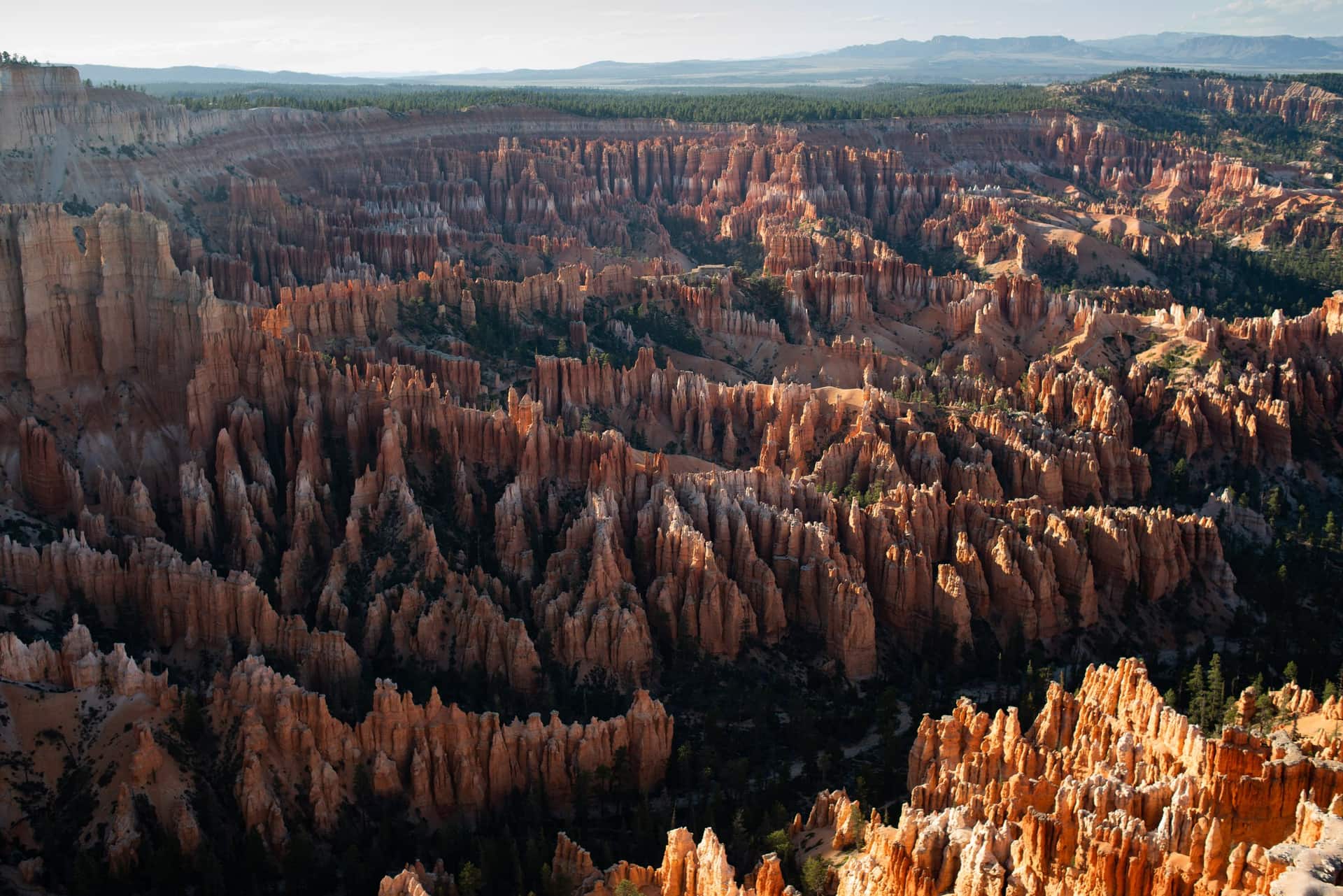
Guía de Duck Creek
A una hora de Duck Creek Village Inn: hoodoos, vistas del borde y las mejores rutas del sur de Utah
De un vistazo
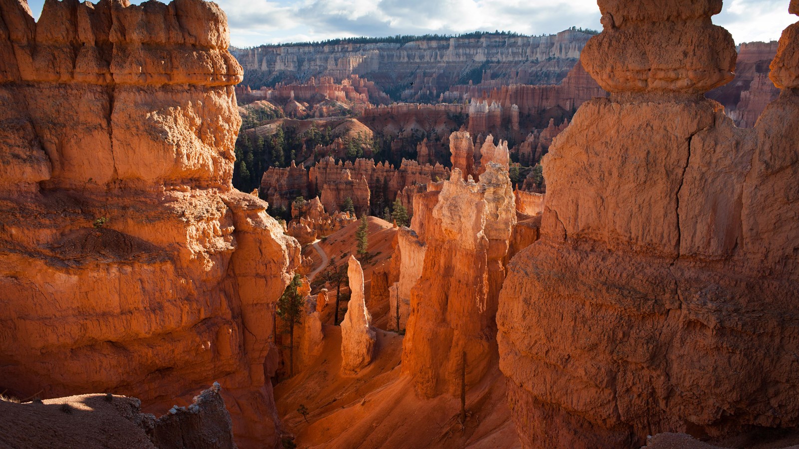
Bryce Canyon National Park está a una hora al sur de Duck Creek Village, en el borde de la meseta Paunsaugunt. No es realmente un cañón sino una serie de anfiteatros en forma de cuenco tallados en el borde de la meseta, llenos de miles de hoodoos en tonos naranja, rojo y crema. El parque es compacto, los miradores principales se agrupan cerca de la entrada y la mayoría de los visitantes puede ver lo esencial en media jornada.
La ruta desde Duck Creek te lleva hacia el norte por US-89 a través de Long Valley y luego al este por UT-12 hasta la entrada del parque. Pasas de los bosques de pinos ponderosa alrededor de Duck Creek a terreno de alto desierto y luego vuelves a pinos ponderosa y abetos cuando ganas altitud. Bryce está entre 8,000 y 9,100 pies, así que el aire se siente familiar cuando llegas.
Si te alojas en Duck Creek Village Inn, Bryce es una excursión que funciona sin estrés. Sales después del desayuno, llegas a media mañana, ves los miradores del anfiteatro, haces la combinación Queen’s Garden y Navajo Loop y vuelves para cenar. Si quieres un día más largo, la ruta escénica de 18 millas hasta Rainbow Point añade miradores más tranquilos y el Bristlecone Loop al final de la carretera.
A diferencia de parques más grandes donde hacen falta varios días para ver lo esencial, Bryce está pensado para visitas eficientes. Los cuatro miradores principales del anfiteatro, Sunrise, Sunset, Inspiration y Bryce Point, están dentro de las primeras tres millas de la carretera principal. Puedes caminar entre ellos por el Rim Trail pavimentado o conducir y parar en cada uno.
La combinación Queen’s Garden y Navajo Loop toma a la mayoría unas dos horas y te da la experiencia completa por debajo del borde: hoodoos a la altura de la mano, la estrecha sección Wall Street y la subida de regreso con todo el anfiteatro detrás. Si añades el Rim Trail entre miradores, ves lo mejor de Bryce sin prisas.
La vuelta a Duck Creek también es fácil. Tomas UT-12 de vuelta hacia US-89 y luego UT-14 hasta la colina y el pueblo. Sin salidas complicadas ni atascos: una hora de carretera escénica y ya estás en casa.
The green line is the road you will actually drive: Highway 14 down to Long Valley Junction, US-89 north through Hatch, Scenic Byway 12 east through Red Canyon, then SR-63 into the park. The amber line is the park road to Rainbow Point, open to your own car all year. The dotted spur is Mossy Cave. Tap any pin for the note we would give you at the front desk.
The interactive map needs JavaScript. The route is SR-14 east to US-89, north through Hatch to Scenic Byway 12, east through Red Canyon, then south on SR-63 into the park.
From Duck Creek Village
Arrive from the north and the park arranges itself: the arches on the way in, the far end of the road while it is empty, the overlooks on the way back, the famous amphitheater when the sunrise crowd has thinned, and the sky after everyone else has left. Here are the ten we send guests to, with the distances the National Park Service publishes for each.
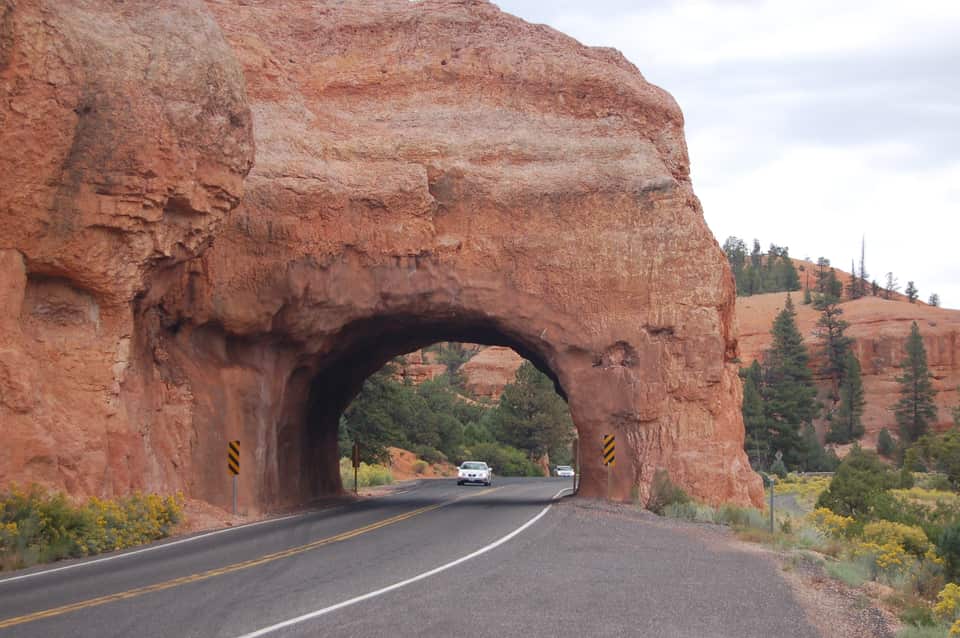
Four miles after you turn onto SR-12 the road threads two arches blasted through a fin of red rock, with hoodoos on both sides and no fee booth. The Forest Service visitor center a mile before them sits at 7,100 feet with restrooms, water and the short Pink Ledges and Hoodoo trails. Use the pullouts for the photograph; the arches are one lane each way.
Red Canyon Visitor Center, Dixie National Forest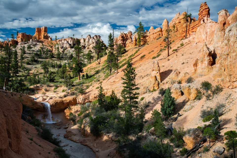
The lowest and northernmost hike in the park is off SR-12 four miles past the park turn, so it fits the drive in or the drive home. A short climb reaches a fork: left to a dripping overhang of moss in summer and icicles in winter, right to a waterfall fed by an old irrigation ditch. No fee booth on this road, but it is a fee area; keep your pass in the windshield.
All the easy hikes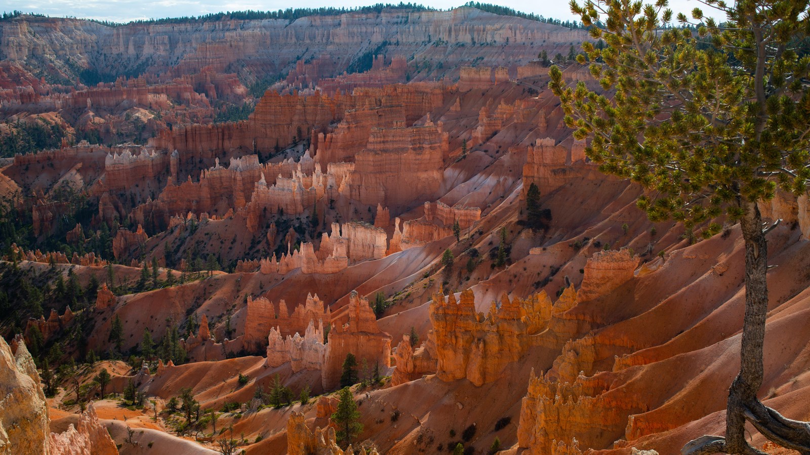
The easiest walk in the park and the best orientation: a paved half mile along the amphitheater rim between the two most famous viewpoints, with Thor’s Hammer below the Sunset Point railing. It is the only Bryce trail open to leashed dogs, it is wheelchair accessible, and the park names Sunrise Point among its top stargazing spots. Sunrise Point has 113 parking spaces and Sunset Point 115; both fill by mid-morning in summer.
The Rim Trail section by section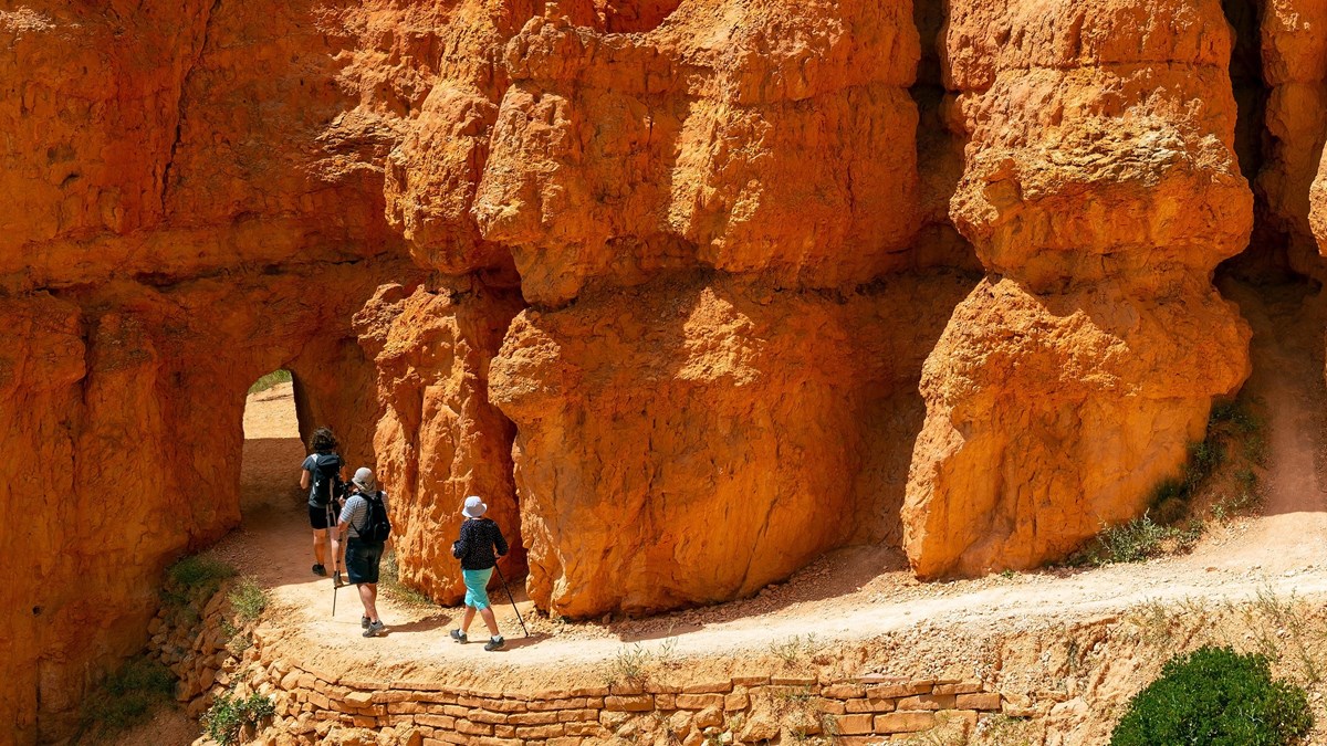
The park’s most popular hike and the one it recommends to first-time visitors. Drop from Sunrise Point through the Queen’s Garden to the Queen Victoria hoodoo, connect to the Navajo Loop, and climb the switchbacks between the walls of Wall Street back to Sunset Point. Hike it clockwise, as the park suggests, and use the Two Bridges side in winter when Wall Street closes for ice.
The combo loop, turn by turn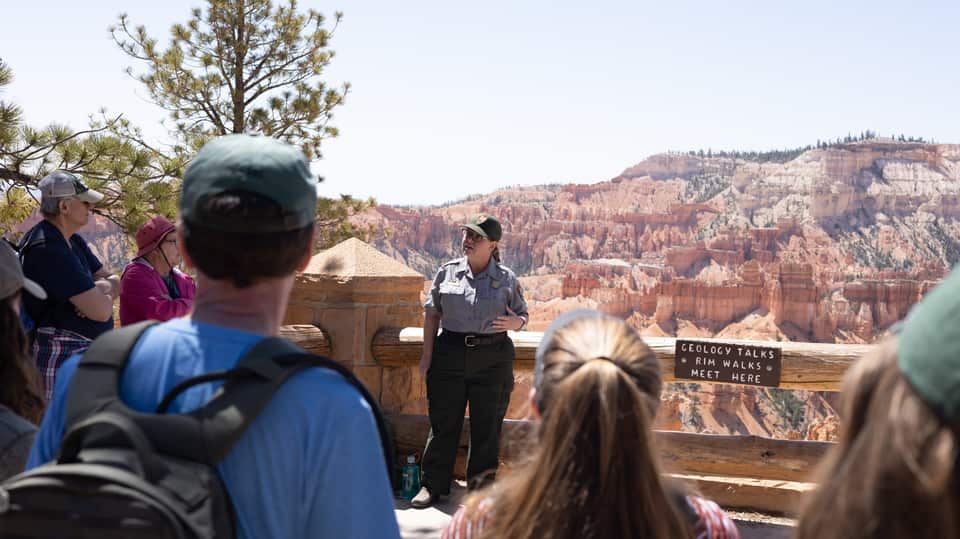
A ranger explains how 170-plus freeze-thaw nights a year pry the limestone apart into hoodoos, standing on the paved rim at Sunset Point with the evidence behind them. No walking, no ticket, about 20 to 30 minutes, and it lands right between the rim walk and the loop hike. The 2 p.m. Rim Walk with a Ranger runs from the same spot in summer.
Ranger program details (NPS)
Inspiration Point is built as three levels, each with its own angle on the Silent City; climb past the first railing for the widest view in the amphitheater. Bryce Point, two miles up a spur, is the one the park calls perhaps the most iconic: the whole bowl seen from the south, with Tropic nearly 3,000 feet below in the Paria Valley. Paria View, the quiet sunset spot, is a short detour off the same spur.
Every viewpoint, mile by mile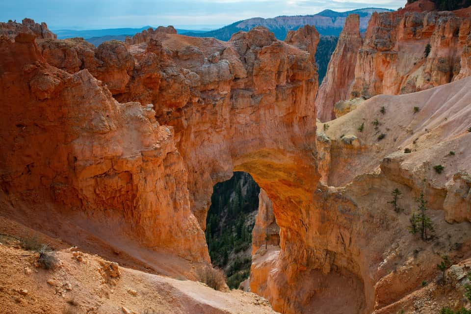
The most photographed feature on the southern road, and not a bridge at all: a window opened by ice expanding in cracks under a hard cap layer, freeze after freeze, with a gully now running more than 125 feet below the span. It is a park-and-look stop with no trail, which makes it the perfect first right-hand pullout on the drive back north from Rainbow Point.
The southern overlooks in order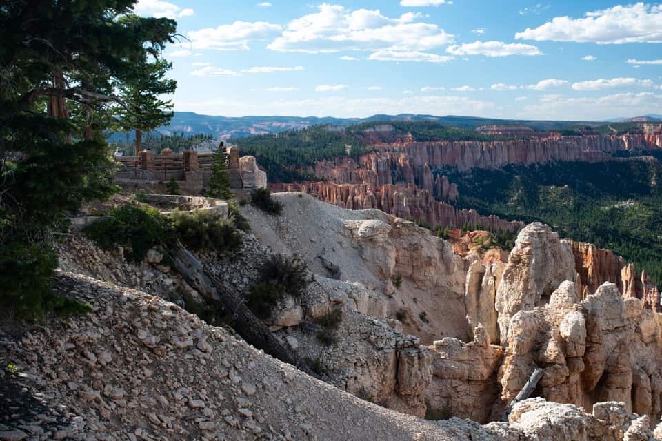
The end of the road and the high point of the park, 660 feet above the inn. Rainbow Point looks back north over the plateau you drove along; walk across the lot to Yovimpa Point and the view turns south across the stepped cliffs of the Grand Staircase. The easy Bristlecone Loop threads spruce and fir past bristlecone pines up to 1,800 years old. Restrooms and 56 parking spaces here, and no shuttle, so you need your car.
Rainbow Point and the drive back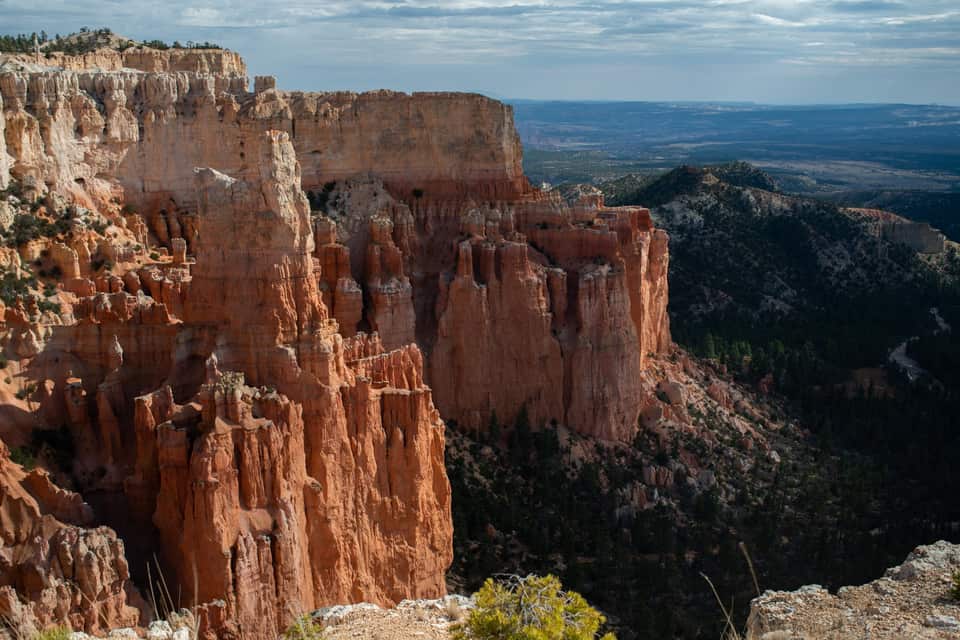
Most visitors drive past the turn. Paria View faces southeast over an amphitheater more than 500 feet deep toward the White Cliffs and the dome of Navajo Mountain, and it is where the park itself sends people at sunset. The lot is closed to oversized vehicles at all times, and the 0.3-mile road closes for winter with the Fairyland spur. Check the sunset time in the sky strip below.
Light, timing and where the crowds are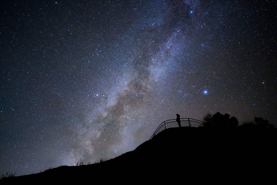
Bryce’s altitude, clean air and distance from cities earned it a Gold Tier International Dark Sky Park designation in 2019, and the park is open all night. The NPS points stargazers to Sunrise, Sunset and Inspiration Points; on a new-moon night the Milky Way arches over the hoodoos, brightest from June through August. The Astronomy Festival runs June 11 to 13, 2026, and ranger full-moon hikes fill by a same-day 4 p.m. lottery at the visitor center. The drive home is 68 minutes of empty highway.
NPS night-sky guideThe numbers most Bryce guides skip
The light at the rim
National Weather Service forecast for Bryce Canyon City
Bryce is the rare park where the climate at the trailhead is the climate at your door. The bars show each month’s normal daily low to high at the park headquarters and at the village. July afternoons at Bryce run about 2 degrees warmer than the village, and a January night at either place drops into the teens. Pack for the inn and you have packed for Bryce.
Cada guía cubre una parte del viaje para que te concentres en lo que más te importa.
Senderos de Bryce Canyon por dificultad, pensados para excursiones de un dia desde Duck Creek
Ver guía La ruta clasica entre hoodoos: direccion, horarios y que esperar
Ver guía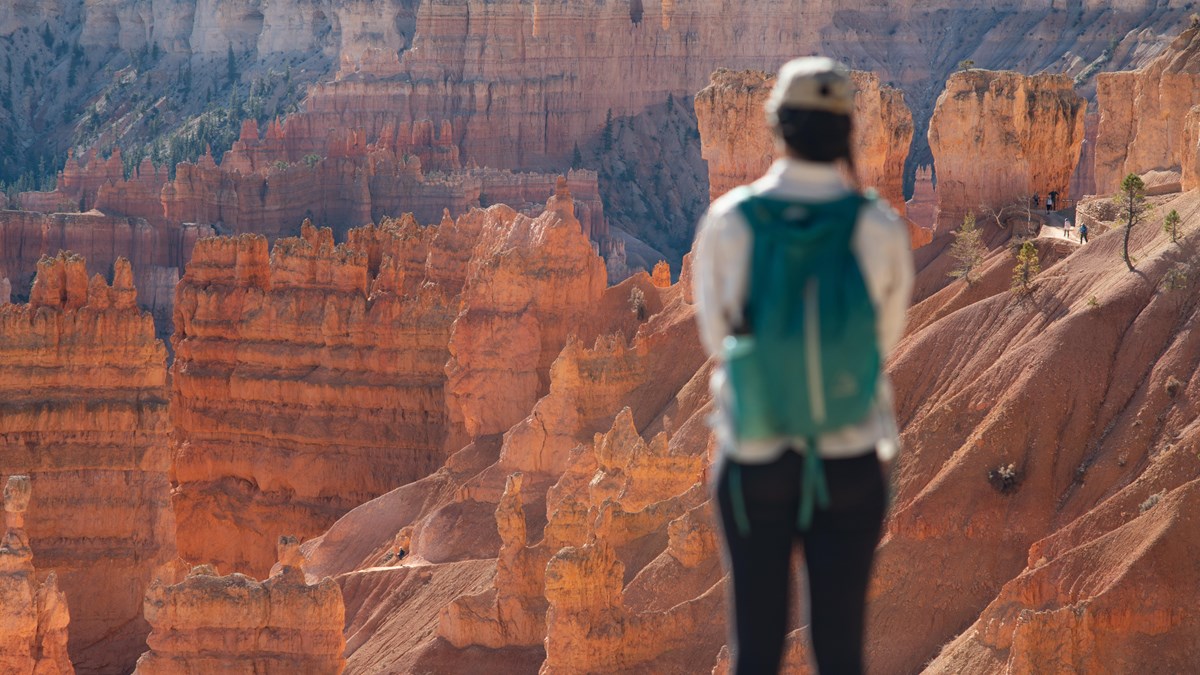
La carretera de 18 millas por el parque con cada mirador que vale la pena
Ver guía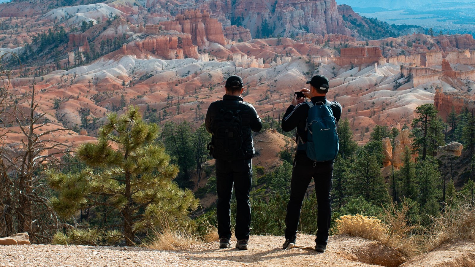
La caminata accesible que conecta los mejores miradores del anfiteatro de Bryce Canyon
Ver guía Restaurantes cerca de Bryce Canyon - en el parque, junto a la entrada y en Tropic - con temporadas y sitios oficiales
Ver guía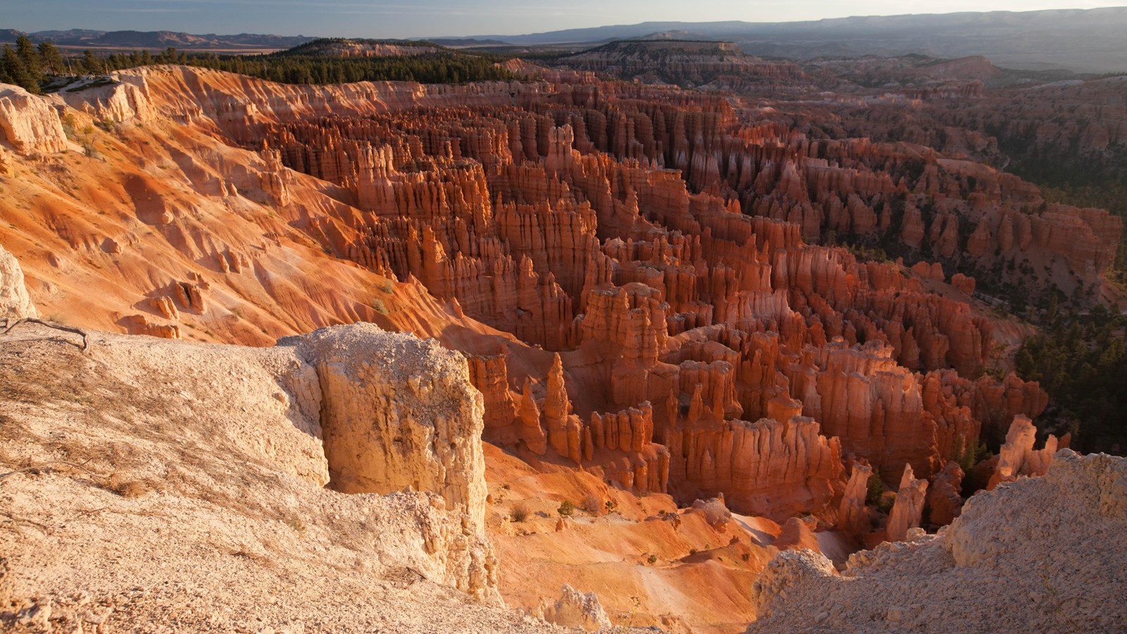
Alertas, cierres de senderos, horarios y programas de rangers en vivo - directo del National Park Service
Ver guíaA summer plan that follows the park’s own advice to run south first. In spring and fall shift everything an hour later; in winter check the road beyond mile 3 before you count on Rainbow Point.
Leave the inn. Sunrise chasers: use the sky strip below and leave 90 minutes before sunrise instead.
Red Canyon. Pull off for the arches while the light is low on the rock.
Fee station at the visitor center, then straight south on the park road while it is empty.
Rainbow and Yovimpa Points at 9,115 ft, and the Bristlecone Loop.
Back north with every overlook on your right: Black Birch, Ponderosa, Agua Canyon, Natural Bridge, Farview, Swamp Canyon.
The geology talk at Sunset Point, then down Queen’s Garden and up the Navajo Loop.
Lunch at the lodge or from the cooler. The paved rim back to Sunrise Point if the dog came.
Inspiration Point and Bryce Point, with Paria View if the light is good.
Mossy Cave on the way out, or straight to pie at Bryce Canyon Pines.
Home at the inn. Or stay for the stars and drive home under them.
Bryce está abierto todo el año, pero cada estación cambia la experiencia. El verano (junio a agosto) tiene días más largos, todos los senderos abiertos y el shuttle funcionando, pero también más gente y estacionamientos llenos. La primavera (abril a mayo) y el otoño (septiembre a octubre) ofrecen temperaturas más suaves, menos gente y mejor luz para fotos. Algunos senderos pueden seguir con hielo hasta mayo.
El invierno convierte Bryce en algo de otro mundo: la nieve sobre los hoodoos crea algunas de las escenas más fotografiadas del parque. La carretera principal se mantiene despejada hasta Bryce Point, y el Rim Trail y algunos tramos por debajo del borde siguen abiertos con dispositivos de tracción. Es más tranquilo, más frío y precioso.
Desde Duck Creek, las temporadas intermedias son ideales. Tienes mañanas frescas en el inn, un trayecto cómodo cuesta abajo y temperaturas agradables para caminar. Si vas en verano, llega antes de las 9 AM para evitar el problema de estacionamiento.
Una jornada de senderismo en Bryce combina muy bien con un día de descanso cerca del pueblo. Después de los hoodoos, recupérate con una mañana en Aspen Mirror Lake, un trayecto a Cedar Breaks o una cena en el pueblo y una noche tranquila en el porche.
Consulta nuestras habitaciones y cabañas para ajustar el viaje al tipo de estancia que quieres. Duck Creek también está a una hora de Zion National Park, así que los viajes con varios parques funcionan muy bien desde está base.

Free printable guide
A short, pretty version of this page for the car: the route and its elevation, the ten stops in order, the day plan, the parking counts, and the links to check the morning you go. Save it before you lose signal on Highway 14.
It also carries our mystery-gift invitation: book a stay with Duck Creek Village Inn and mention the guide at check-in for a small surprise from the inn.
Download the Bryce guide (PDF)Free · No email required · English
September 2026
Escribimos estas guías de Bryce desde la perspectiva de huéspedes de Duck Creek Village Inn: la ruta, el horario y los detalles prácticos que importan cuando haces una excursión desde el norte. Antes de conducir, revisa las condiciones oficiales del NPS.
The questions guests ask us most before a Bryce day.
Bryce Canyon National Park is one of the easiest full-day national-park outings from Duck Creek Village.
Bryce Canyon National Park está a A ~1 h por trayecto desde el hotel de Duck Creek Village Inn según los datos actuales de la guía.
Bryce is open year-round, but each season changes the experience. Summer has the easiest access and longest days. Spring and fall bring milder temperatures and fewer crowds. Winter adds snow on the hoodoos and strong photography conditions if roads and trails cooperate.
Book your room or cabin at Duck Creek Village Inn: a little over an hour from the hoodoos, at the same cool altitude, with no gateway-town traffic.