Meilleures randonnées
Sentiers de Cedar Breaks classés par difficulté, des promenades faciles dans les prairies aux itinéraires de crête avec pins bristlecone
Voir le guide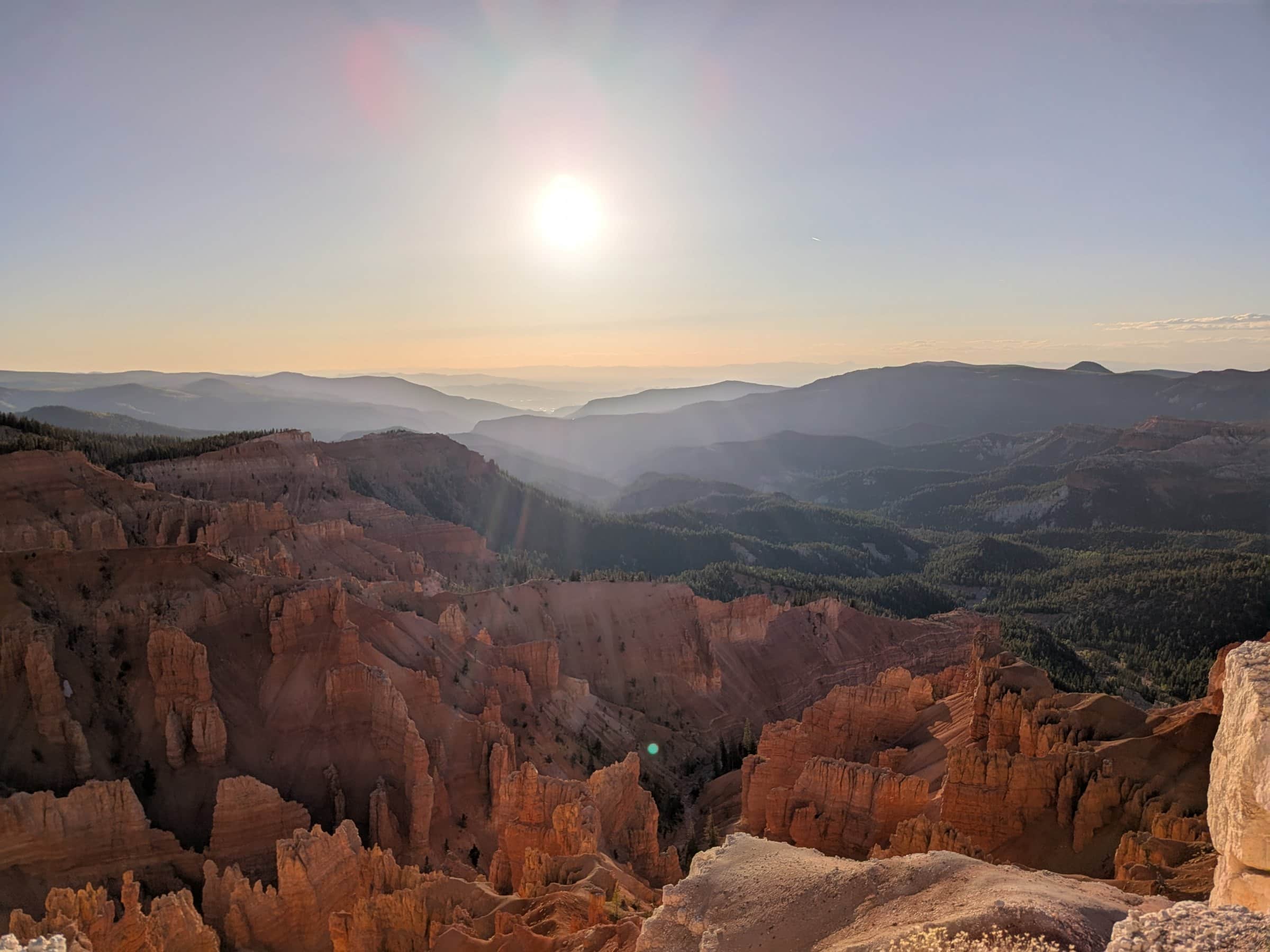
Guide Duck Creek
À environ 20 minutes de Duck Creek Village Inn - géologie spectaculaire, couchers de soleil et ciel sombre à 10 000 pieds
En bref
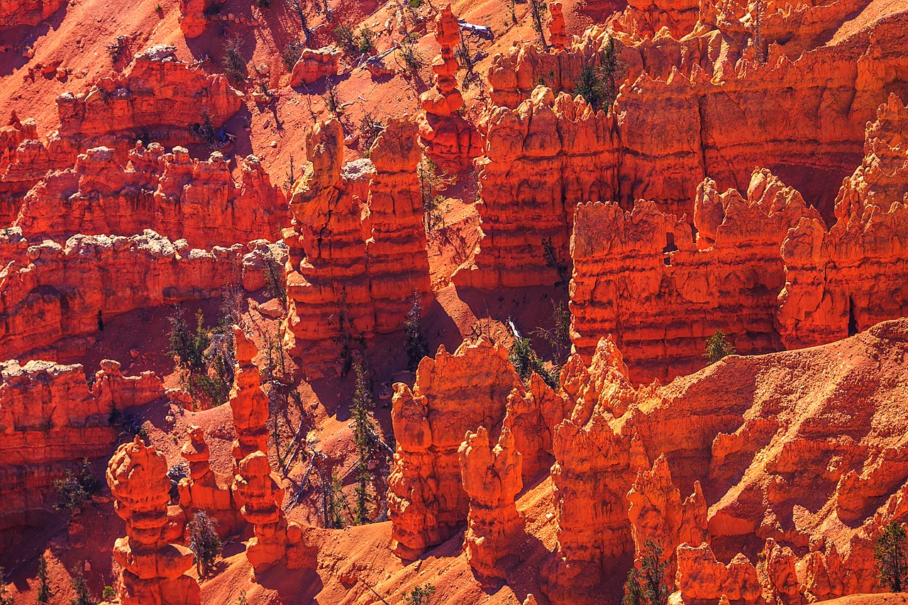
Cedar Breaks National Monument se trouve à environ 20 minutes de Duck Creek Village, sur le bord ouest du plateau de Markagunt. À plus de 10 000 pieds, il domine la Grande Escalier avec un amphithéâtre de hoodoos, de lames et de pinacles dans des tons rouges, orange et crème.
Le monument est compact - quatre belvédères, deux sentiers et un centre d’accueil - ce qui permet d’en voir les points forts en une demi-journée détendue, sans la logistique de navette ni la pression des départs à l’aube.
La route depuis Duck Creek suit Highway 14 vers l’ouest, puis Highway 148 vers le sud à travers prairies subalpines et forêts d’épicéas et de sapins. Vous gagnez rapidement plus de 1 500 pieds d’altitude et la température baisse nettement dès que vous sortez de la voiture.
Chaque guide couvre une partie de la visite pour que vous puissiez vous concentrer sur l’essentiel.
Sentiers de Cedar Breaks classés par difficulté, des promenades faciles dans les prairies aux itinéraires de crête avec pins bristlecone
Voir le guide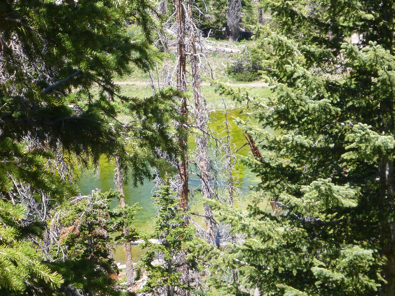
La randonnée signature de Cedar Breaks - prairies fleuries, bassin subalpin et pins bristlecone sur deux miles faciles
Voir le guide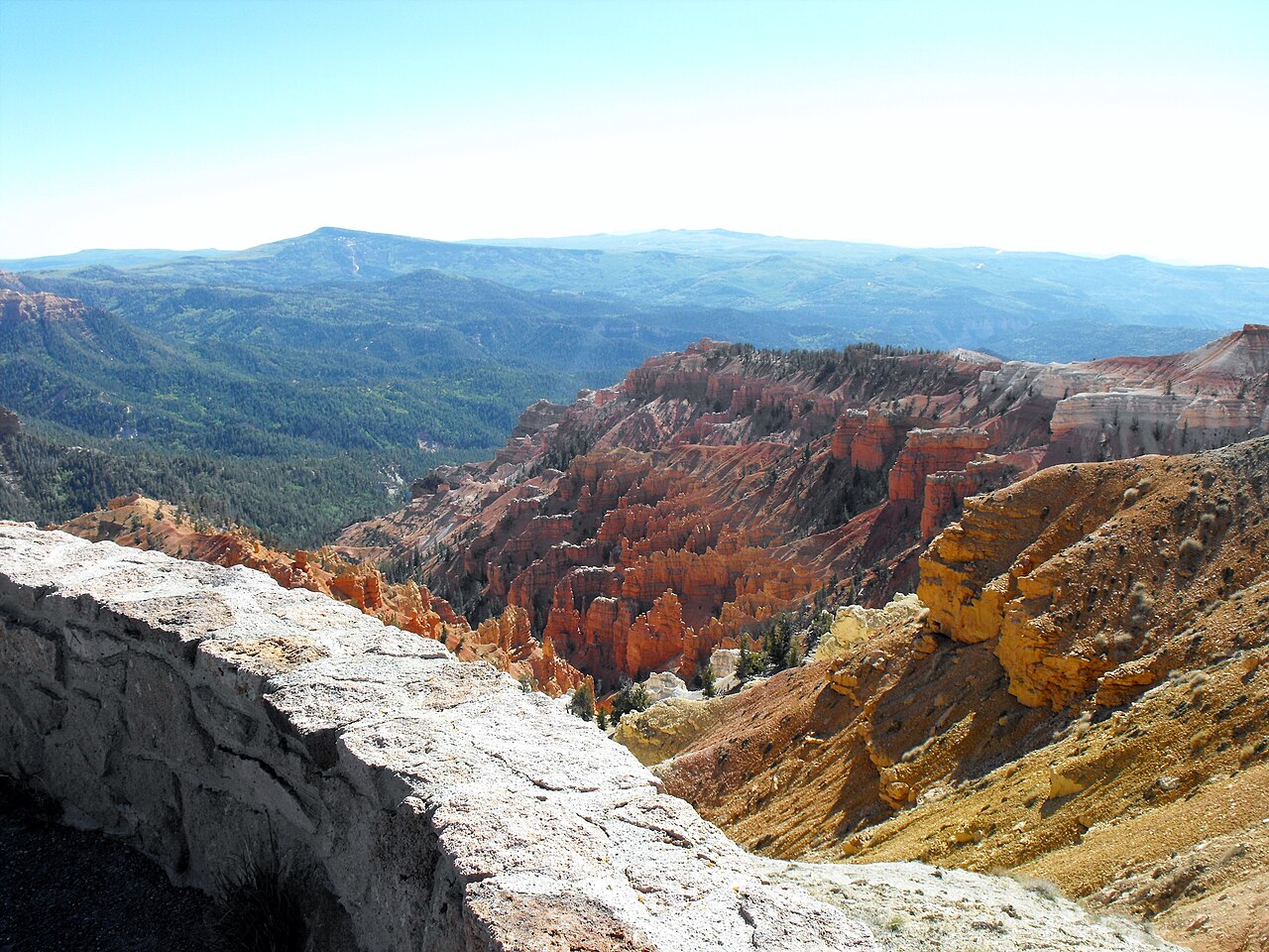
Point Supreme, Sunset View, North View et Chessmen Ridge - chaque belvédère et ce qu’il faut voir au centre des visiteurs
Voir le guide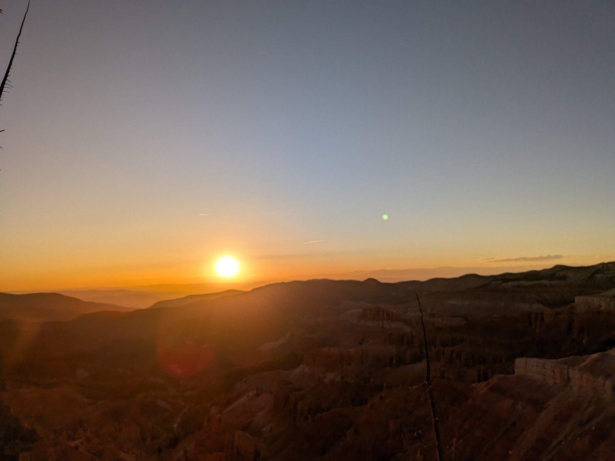
Le meilleur point de vue pour le coucher de soleil du sud de l’Utah et un International Dark Sky Park - comment planifier une soirée à Cedar Breaks
Voir le guide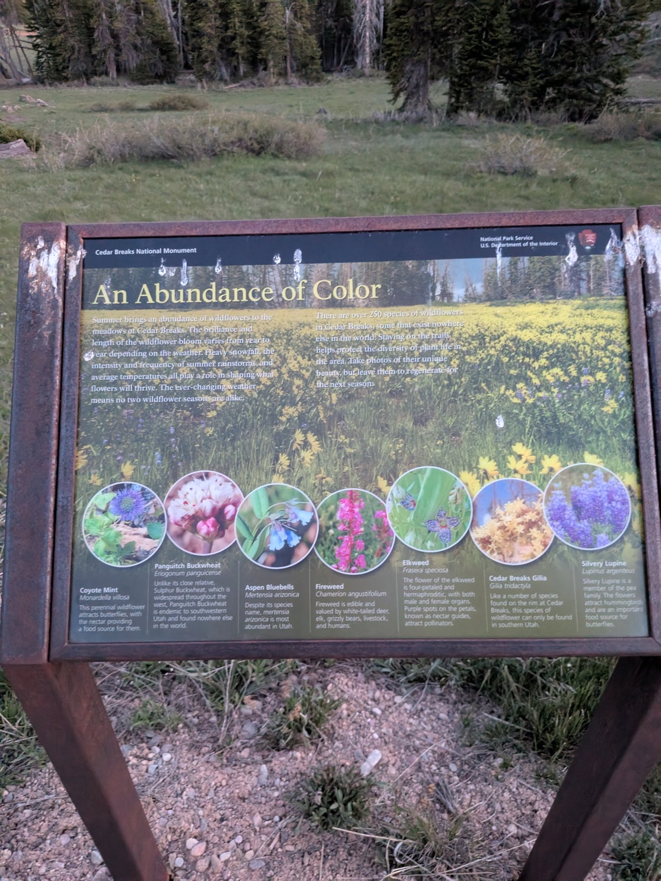
Plus de 250 espèces à 3 000 m : calendrier de floraison, guide illustré, les deux espèces endémiques et le Wildflower Festival de juillet
Voir le guide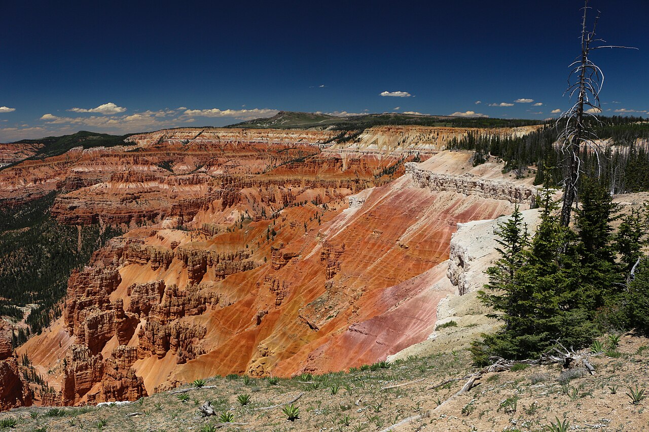
La route est-elle ouverte ? Alertes, horaires et programmes de ciel étoilé en direct - directement du National Park Service
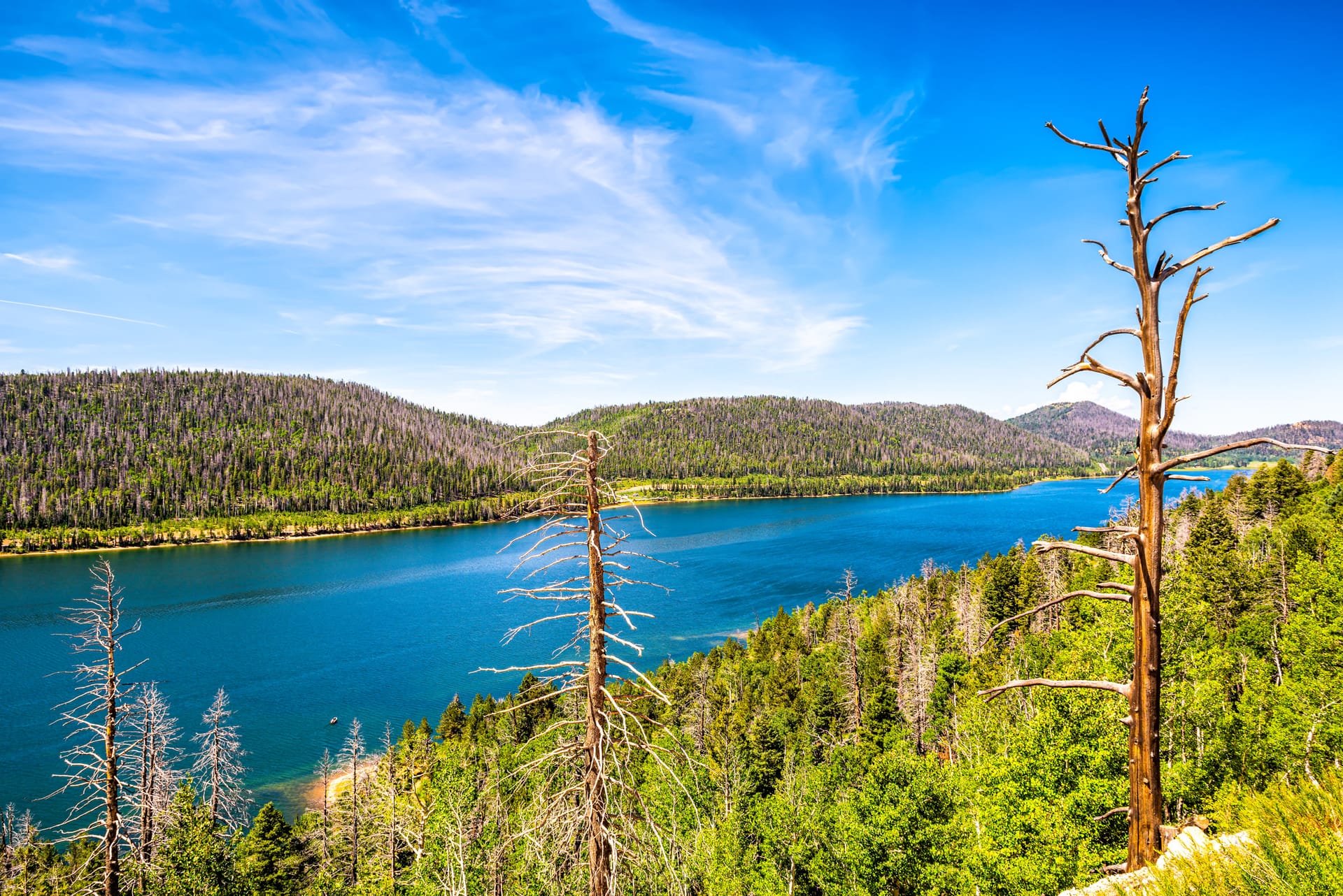
Voir le guideLeave the inn heading west on Highway 14. The road climbs steadily through spruce and aspen, passes the Navajo Lake overlook at mile 8 (worth the pullout), and reaches the Highway 148 junction at mile 12, just under 9,900 feet. Turn right. Highway 148 climbs the last 500 feet through open meadows to the entrance station and the Point Supreme visitor center at mile 15.5. Call it 15.5 miles and 25 minutes; the overlooks continue another 4.6 miles north to the Highway 143 entrance and Brian Head.
In winter the plowing stops at the junction. The lot there is the trailhead for the snowmobile route along the closed highway and for skis and snowshoes, 3.5 miles from Point Supreme. Check Highway 14 road conditions before any shoulder-season trip; our conditions page has the live NPS road status.
The real route from the inn, traced from road geometry: Highway 14 west (solid green) and Highway 148 north through the monument (dashed). Tap any pin for its note and the page that covers it.
Depth, width, erosion rate and the bristlecone ages are from the National Park Service; the plant count is the NPS Northern Colorado Plateau Network inventory; establishment, acreage and visitation (688,644 in 2022) from NPS records. The colors are iron oxides rusting the limestone of an ancient lake bed, 50 to 60 million years old, that the Hurricane Fault has been lifting for the last 10 million years.
La plupart des voyageurs du sud de l’Utah passent devant Cedar Breaks sur la route de Bryce ou Zion sans s’arrêter. C’est une occasion manquée - surtout si vous séjournez au Duck Creek Village Inn.
Cedar Breaks occupe une place différente dans votre séjour. C’est le meilleur choix pour une demi-journée calme quand vous ne voulez pas d’une autre visite de parc national entière. Montez après le petit déjeuner, faites l’Alpine Pond Trail, prenez le temps sur les belvédères, et revenez à l’auberge pour un déjeuner tardif. Ou faites-en une destination de soirée - le coucher du soleil et l’observation des étoiles sont exceptionnels.
Comme Duck Creek est à 8 400 pieds et Cedar Breaks à 10 000 pieds, le changement d’altitude reste progressif. Vous n’aurez pas le choc d’altitude qu’on ressent en montant depuis St. George ou Las Vegas.
Three photos from one evening on the rim, 1 June 2026, with the camera's clock on each. The amphitheater faces west, so the light works differently from Bryce: the rock glows an hour before sunset and goes dark as the sun reaches the ridge, and then the sky takes over.
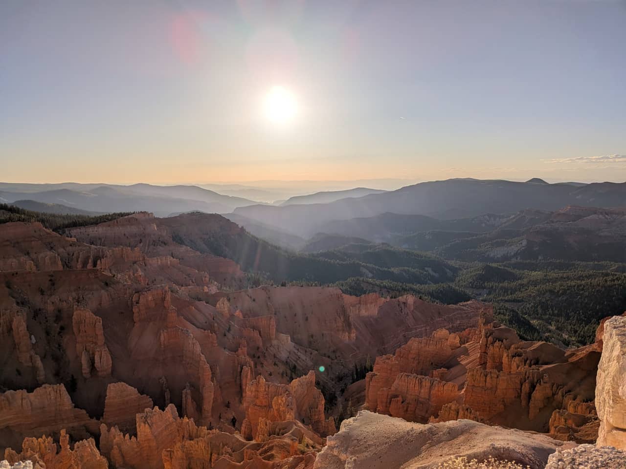
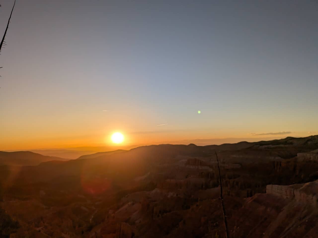
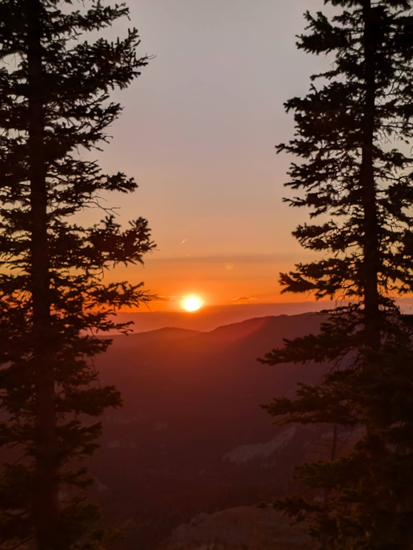
Our photos, Sunset View and the rim near Point Supreme, 1 June 2026. Camera clock times, Mountain Daylight Time.
Over 250 species bloom on the rim between late May and September, and two of them, Cedar Breaks gilia and Panguitch buckwheat, grow nowhere else. The meadows turn blue with lupine and flax in late June, peak in the first half of July when the park holds its Wildflower Festival (July 3 to 11 in 2026), and go gold with sunflowers in August. Our wildflower guide has a week-by-week bloom calendar and an illustrated field guide to twenty flowers.
The rim is 1,900 feet above the inn and nearly 4,500 feet above Cedar City, and it shows. The park says summer highs run 60 to 70°F with nights in the 30s and 40s, and that snow, sleet and hail can fall in any month. The table is an estimate for 10,350 feet from NOAA 1991 to 2020 normals at the Brian Head station (9,770 ft), adjusted 2°F for the extra elevation. A planning guide, not a forecast; the weather page has the current outlook.
Estimated typical highs and lows at Point Supreme, °F
| Month | Jan | Feb | Mar | Apr | May | Jun | Jul | Aug | Sep | Oct | Nov | Dec |
|---|---|---|---|---|---|---|---|---|---|---|---|---|
| High | 28° | 30° | 37° | 42° | 53° | 65° | 69° | 67° | 59° | 46° | 36° | 26° |
| Low | 8° | 10° | 15° | 16° | 25° | 34° | 40° | 41° | 33° | 22° | 15° | 8° |
July averages about 69° by day and 40° at night; September 59° and 33°. Greyed months are inside the usual road closure. Afternoon thunderstorms build over the plateau most days from mid July into early September, and the rim is the most exposed ground in the monument, so do the walks in the morning and be near the car by early afternoon.
L’été (juin-août) est la saison centrale. La route est ouverte, les programmes de rangers fonctionnent, les fleurs sauvages sont en floraison, et les soirées d’observation du ciel ont lieu par temps clair.
Le début de l’automne (septembre-début octobre) apporte moins de monde, des températures plus fraîches et les couleurs changeantes des trembles dans la forêt autour du monument.
La fin du printemps (fin mai-début juin) correspond à l’ouverture de la route. La neige peut rester dans les zones ombragées et certains sentiers sont encore boueux.
L’accès hivernal se fait à pied ou en motoneige. Le NPS propose parfois des sorties guidées en raquettes sur certains week-ends.
Cedar Breaks est l’une des sorties les plus faciles à construire quand vous séjournez au Duck Creek Village Inn. Utilisez Planifiez vos journées pour combiner une matinée ou une soirée à Cedar Breaks avec un après-midi à Navajo Lake ou une grande journée à Bryce Canyon. Comparez nos chambres et cabanes pour trouver le bon rythme - et gardez en tête que vous êtes aussi à environ une heure de Zion et Bryce Canyon.
Reviewed September 2026
Nous écrivons ces guides Cedar Breaks du point de vue des clients du Duck Creek Village Inn - le trajet, le bon timing et les détails pratiques d’une sortie rapide depuis le village. Avant de partir, vérifiez les conditions sur les ressources officielles du NPS.
Les questions que les voyageurs posent ensuite.
Environ 20 minutes en voiture via Highway 14 et Highway 148.
Oui. Le monument est compact et les points forts se voient facilement en une demi-journée.
La route ouvre généralement fin mai et ferme mi-octobre, selon la neige.
Oui. C’est un International Dark Sky Park avec un ciel remarquablement sombre.
Seulement sur les zones pavées et parkings. Les chiens ne sont pas autorisés sur les sentiers.
Réservez votre chambre ou votre cabane au Duck Creek Village Inn - 20 minutes du monument avec des soirées fraîches et sans circulation.