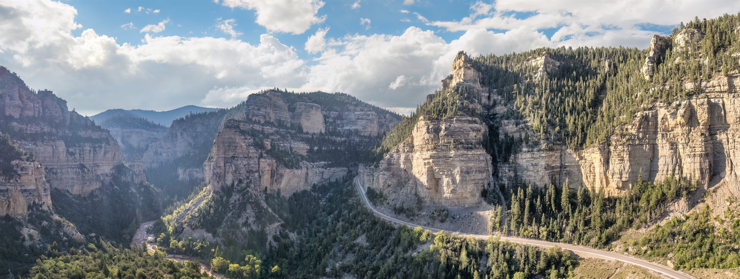
SR-14 @ Milepost 8.12
Cedar Canyon approach - the first camera you hit climbing from Cedar City.
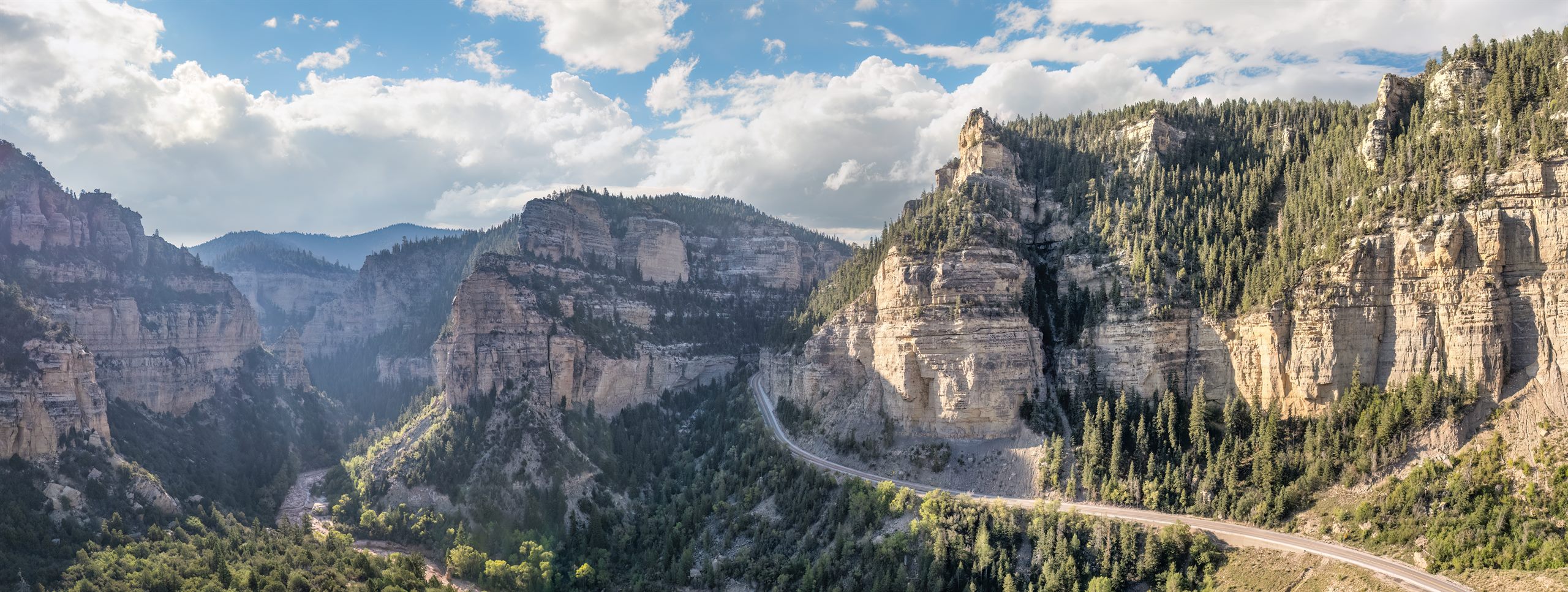
Highway 14 from Cedar City to Duck Creek Village — checked from the inn at 8,400 ft
These UDOT cameras cover the full Highway 14 corridor from Cedar City up to Duck Creek Village, plus the US-89 junction toward Zion and Kanab. Images refresh automatically, so this page works best as a last look before you start the drive.
On the mountain right now at 8,600 ft
Cedar Canyon approach - the first camera you hit climbing from Cedar City.
Mid-canyon near the Cedar Breaks turnoff.
The 9,900 ft summit - the highest point of the drive and the first place snow sticks.
Upper canyon near the plateau.
Navajo Junction - close to Duck Creek Village.
Duck Creek Village intersection - the camera closest to the inn.
Junction south toward Kanab and Zion - useful for park day trips.
If our inn webcam is live, we will open the player here. If not, this stays a preview so you can head to YouTube and subscribe for the next stream.
Checking live status...
Every UDOT camera on the approaches to Duck Creek on one simple map — tap a pin for the live view.
Tap any camera pin for the live view. Road colors show current UDOT surface conditions.
Duck Creek Village is typically reached by Highway 14 from Cedar City. It is a beautiful approach, but it is still a mountain road: winter weather, shoulder-season storms, and fast temperature swings can change driving conditions quickly.
Check the live Duck Creek Village snow report → See the 7-day mountain forecast →
Snow and ice matter in winter, but shoulder-season visibility, afternoon storms, and cold nighttime temperatures can be just as important. If the cameras look more uncertain than the valley forecast suggests, trust what the mountain is showing you.
July 2026
This page is meant to shorten the decision, not replace the official road and weather sources. Use these links for the final check before the drive up the mountain.
We run the inn at Duck Creek year-round, so these are the road questions guests actually call about.
SR-14 is a year-round, plowed state highway and is rarely closed, but winter storms can bring temporary closures or traction requirements. The UDOT cameras above refresh every minute; for official closure and chain-law alerts, check the UDOT traffic map right before you drive.
In summer and early fall, any car makes the drive comfortably. During and right after winter storms, AWD/4WD or chains are strongly recommended, and UDOT can temporarily require traction devices on the canyon grades. The road is plowed regularly, so most winter days are routine once a storm passes.
About 45 minutes in normal conditions. Highway 14 climbs from roughly 5,800 ft in Cedar City to nearly 10,000 ft at its summit before easing down to Duck Creek Village, so allow extra time at night, in storms, or when towing. Cedar City is also the last full stop for fuel and groceries.
The first accumulating snow usually arrives in late October or November, and snowpack can linger near the summit into May. In July and August the main thing to plan around is brief afternoon monsoon thunderstorms — mornings are usually the calmest driving window.
The standard detour is I-15 north to SR-20, east to US-89, then south to Long Valley Junction, where SR-14 reaches Duck Creek Village from the east. Plan on roughly two hours from Cedar City instead of 45 minutes. That eastern approach is also the gentler drive in marginal weather.
That is exactly what this page is for. The cameras at the top run in milepost order from the bottom of Cedar Canyon up to the Duck Creek Village turnoff, so scanning them top to bottom is like driving the road. Pair them with the UDOT alert strip for any closure or chain requirement, and if you are still unsure, call us — we can see the road from the inn.
The cameras above show the actual pavement, which beats any forecast. For measured snow depth, our Duck Creek snow report pulls live readings from two SNOTEL stations bracketing the village. SR-14 is plowed year-round, so even after big storms the road usually reopens to routine driving within a day.
When in doubt, call us. We can tell you what conditions look like at the inn and help you decide whether a later arrival, extra layers, or a different day-trip plan makes more sense. Contact us or see Winter Access & Conditions for more planning help. Contact us or see Winter Access & Conditions for more planning help.
Live UDOT cameras on US-89 and Scenic Byway 12, current surface conditions, and winter driving notes for the Bryce drive.
See pageLive UDOT cameras on US-89 and SR-9 to Zion’s east entrance, current conditions, and tunnel vehicle limits.
See pageSR-14 and SR-148 live cameras, current conditions, and the seasonal winter closure explained.
See pageLive SR-143 cameras from both sides of the mountain, traction requirements, and honest winter route advice.
See pageThe official 7-day forecast for Duck Creek Village at 8,600 ft, with live weather alerts.
See pageLive snow depth and the 47-year record for Duck Creek Village, from two SNOTEL stations minutes away.
See page17 live UDOT road cameras on SR-14, Brian Head, and the park drives, plus Zion and Bryce webcams.
See pageThe road to Duck Creek - and one of Utah's prettiest drives
View guide