
SR-14 @ Duck Creek Village / Milepost 31.06
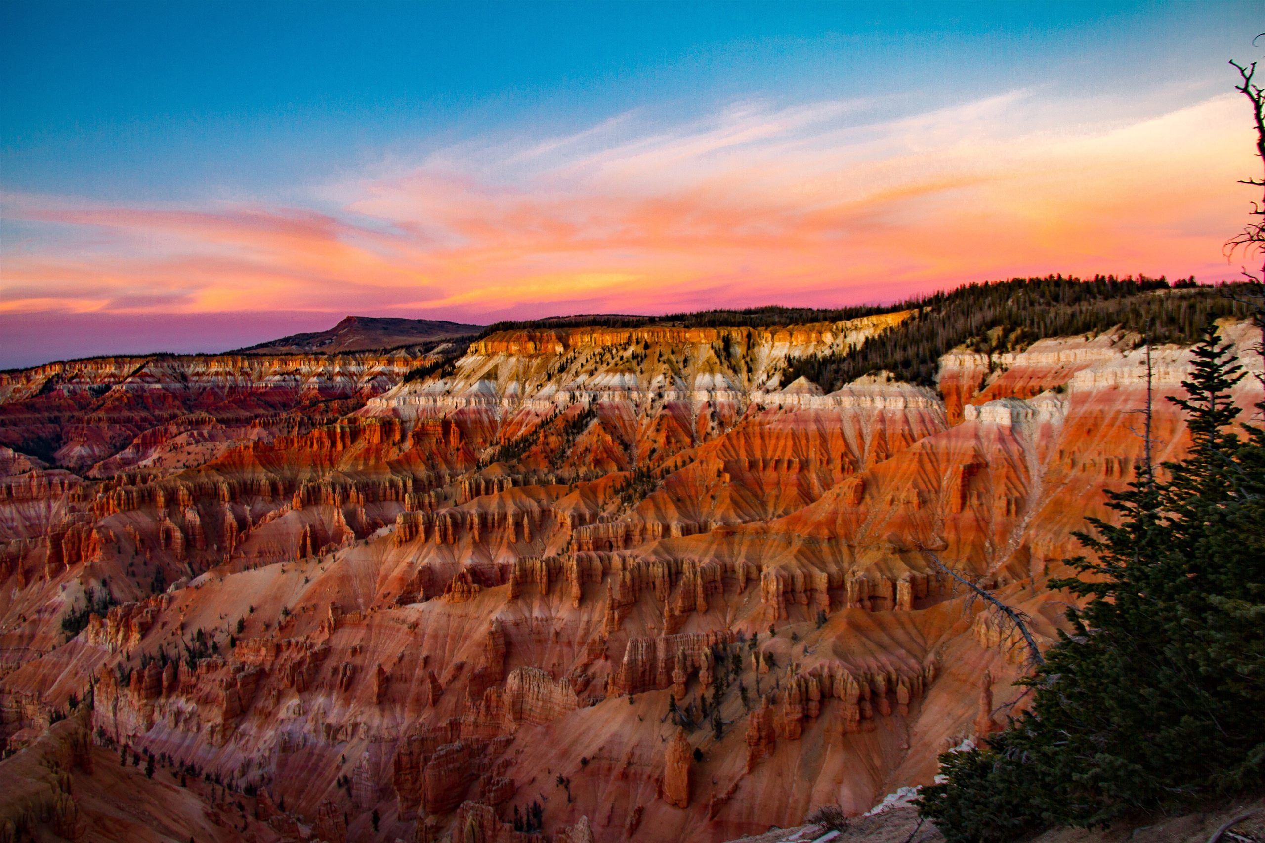
Cedar Breaks Driving Conditions & Live Cameras
SR-14 to the SR-148 high road — about 30 minutes from Duck Creek Village
Live road map for the Cedar Breaks drive
The map opens on the SR-14 corridor where the SR-148 turnoff sits. Tap any camera pin for the live view; road colors show current UDOT surface conditions.
Tap any camera pin for the live view. Road colors show current UDOT surface conditions.
Wondering about snow? Check the live Duck Creek snow report →
Live cameras on the road to Cedar Breaks
In drive order from Duck Creek Village west along SR-14 to the summit and the SR-148 junction, plus the Brian Head camera on the monument’s north side. Images refresh every minute.
SR-14 → SR-148
SR-14 @ Navajo Lake / Milepost 24.26
SR-14 @ Milepost 20.6
SR-14 Summit @ Milepost 17.3
SR-14 @ Milepost 16.58
SR-143 @ Brian Head / Milepost 18.19
The drive: what the road actually does
From Duck Creek Village, Cedar Breaks is our closest big view: about 30 minutes west on SR-14 past Navajo Lake to the SR-148 junction near milepost 18, then a short climb north to the amphitheater rim above 10,000 ft. The whole route is high plateau — you never drop below 8,000 ft.
Because the monument sits above 10,000 ft, it out-snows everything around it, including us. The SR-14 summit camera and RWIS station on this page sit almost exactly at the turnoff, so the live reading above is effectively the Cedar Breaks access report.
In summer and fall this is an easy, spectacular drive — go for sunset and wildflowers. The turnoff can be foggy when the valley is clear; if the summit camera shows cloud, give it an hour, as it often burns off.
The winter closure, honestly explained
SR-148 through the monument closes to cars each winter — typically from the first big November storm until late May — and becomes a groomed snowmobile and ski route. The rim does not disappear in winter: you can still reach the north viewpoint area via Brian Head on SR-143 on plowed pavement, and the monument’s winter yurt is open most weekends. When UDOT lists the gate status, it appears automatically in the strip above; our snow report shows how deep the high country is running.
Cedar Breaks road questions we hear at the desk
We are the closest lodging to Cedar Breaks — these come up daily.
Is the road to Cedar Breaks open right now?
In summer and fall, yes — SR-14 and SR-148 are open and the drive takes about 30 minutes from our door. From roughly November to late May, SR-148 closes to vehicles for the season. The live strip above shows current SR-14 conditions and will show the seasonal gate status when UDOT posts it; in winter the plowed approach is via Brian Head on SR-143.
Which camera should I check for Cedar Breaks?
The SR-14 summit camera at milepost 17.3 — it sits at 9,900 ft beside the weather station, a minute from the SR-148 turnoff, and behaves exactly like the monument road. If that camera shows dry pavement, the drive up is straightforward; if it shows snow or fog, expect more of both at the rim.
When does SR-148 close for the winter?
Typically after the first heavy November storm, reopening in late May once the drifts are cut — dates float with the snow year. The closure is a gate, not a suggestion: past it the road becomes a groomed snowmobile trail. We watch the opening every spring, so ask us if your dates are near the edges.
Can I see Cedar Breaks in winter at all?
Yes, and it is worth it. Drive SR-143 to Brian Head (plowed all winter), where the north end viewpoints look into the amphitheater under snow, or rent a snowmobile in the village and ride the groomed SR-148 corridor. The monument also grooms ski and snowshoe routes; the winter yurt near the rim is staffed most winter weekends.
Related guides
Road Conditions
Live SR-14 cameras, current mountain weather, and closure detours before you drive up.
See pageLive Webcams & Road Cams
17 live UDOT road cameras on SR-14, Brian Head, and the park drives, plus Zion and Bryce webcams.
See pageConditions Today
Is the road open? Live alerts, hours, and dark-sky programs, straight from the National Park Service
See conditions todaySnow Report
Live snow depth and the 47-year record for Duck Creek Village, from two SNOTEL stations minutes away.
See pageBrian Head Road Conditions & Cameras
Live SR-143 cameras from both sides of the mountain, traction requirements, and honest winter route advice.
See pageBryce Canyon Driving Conditions & Cameras
Live UDOT cameras on US-89 and Scenic Byway 12, current surface conditions, and winter driving notes for the Bryce drive.
See pageNext steps
Cedar Breaks
A slower high-country day with overlooks, cool air, and room to breathe
See itineraryCedar Breaks National Monument
Alpine amphitheater, sunset overlooks, and an International Dark Sky Park, 20 minutes from the inn
View guideStay Near Cedar Breaks
Comparison-style page for Cedar Breaks stays from Duck Creek.
Compare staysWhere to stay
Stay 30 minutes from Cedar Breaks
The closest beds to the rim: sunset runs and wildflower mornings made easy.