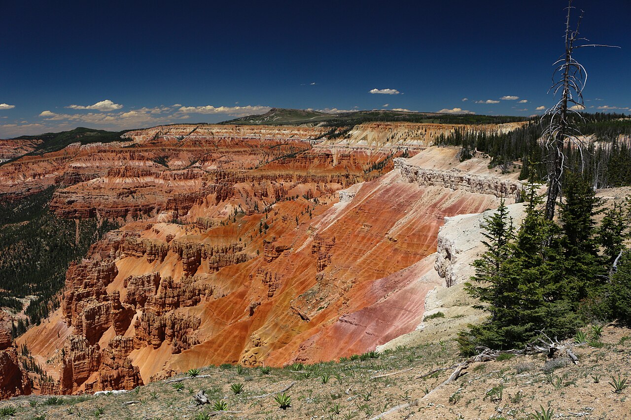
Wildlife morning
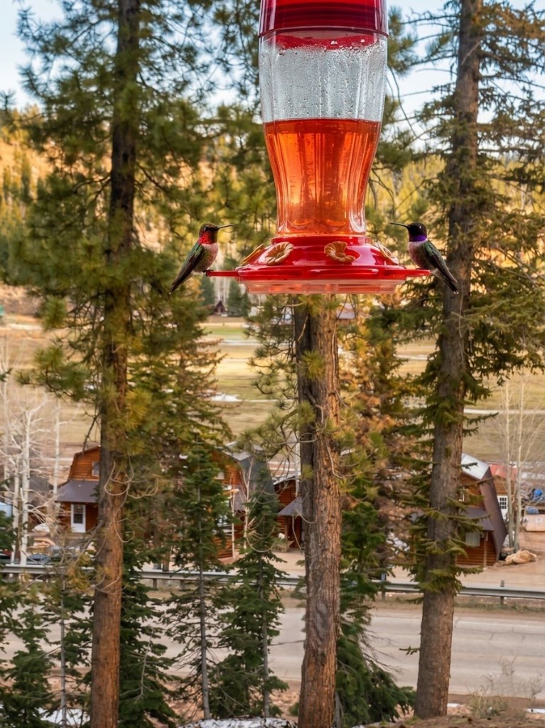
Mule deer, elk herds, marmots, and the occasional fox. Pre-breakfast is prime.
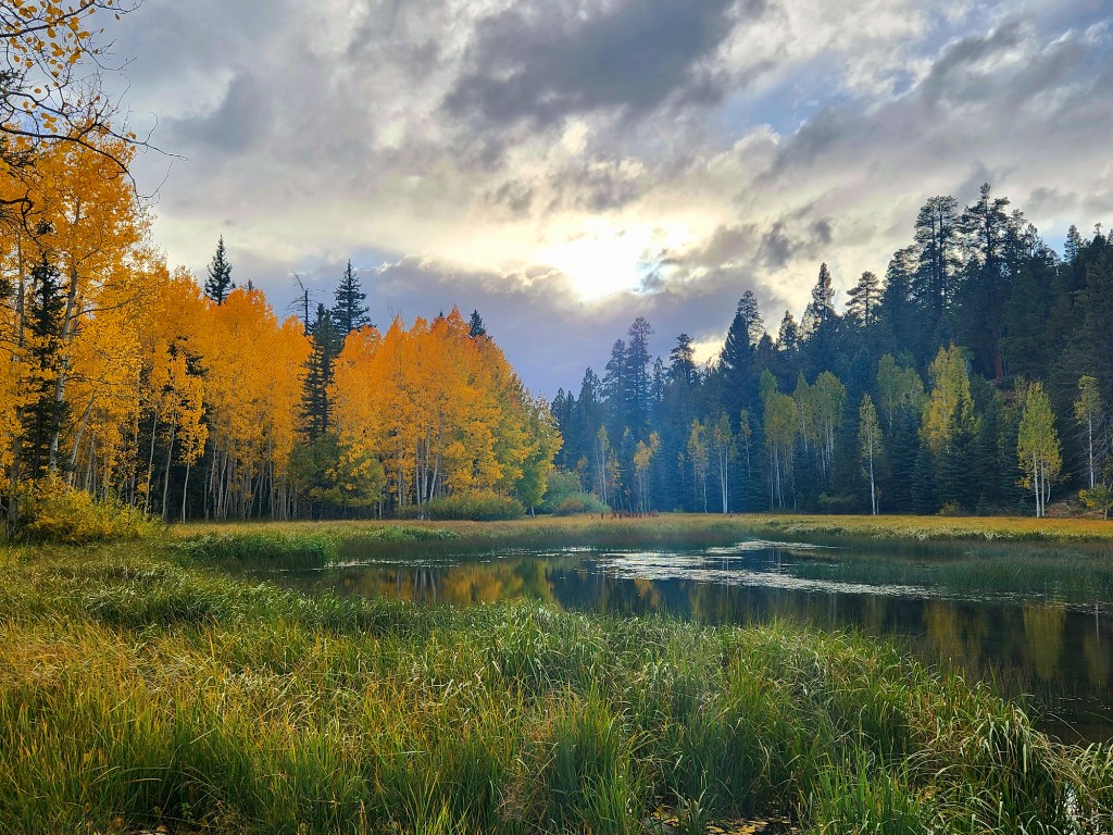
Duck Creek Guide
Explore the lakes, forest trails, and seasonal trips around Duck Creek Village.
Duck Creek Village sits along UT-14 in Dixie National Forest, at 8,400 feet. Start with a walk by the pond, then head to the nearby lakes or forest trails.
The village is also a base for trips to Cedar Breaks, Bryce Canyon, and the east side of Zion. Choose your plans by season and check road and trail conditions before setting out.
On the plateau
Filter by what you came for. Most of these are within a 30-minute drive of the inn, and many start from the village itself.
More than 300 miles of designated routes across the plateau (Forest Service tally: 408). Loops for every skill level; ride only what is on the current MVUM.
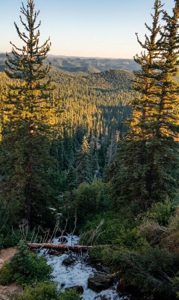
Short walk to a waterfall, canyon views, and the Navajo Lake lava-flow story.
Duck Creek Pond, Aspen Mirror, Navajo Lake, and Panguitch Lake each fish differently.
High-elevation alpine lake at 9,000 ft. Kayaks, paddleboards, cool air, fewer crowds.
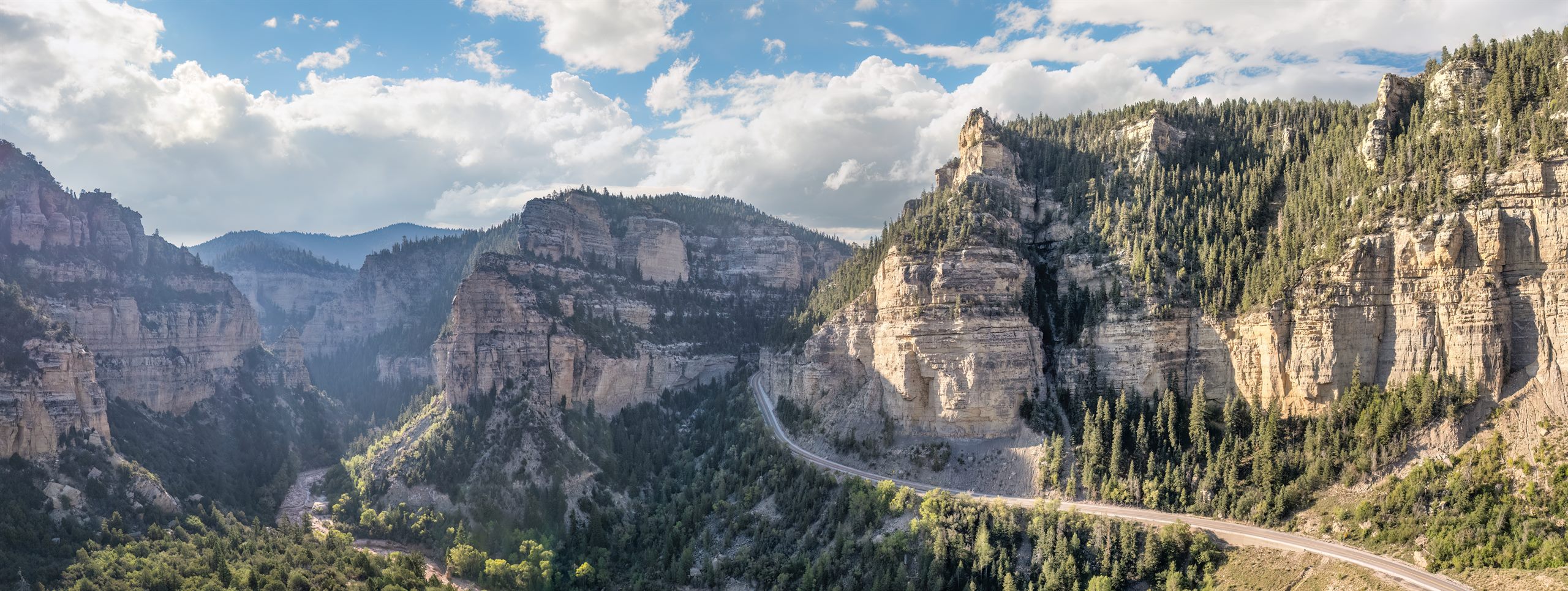
Aspens light up red and gold from late September. The drive itself is the destination.
A rim-edge view over the Pink Cliffs toward Zion country, thousands of feet below. Sunset is the best window.
International Dark Sky Park with seasonal ranger-led night-sky programs announced by NPS.
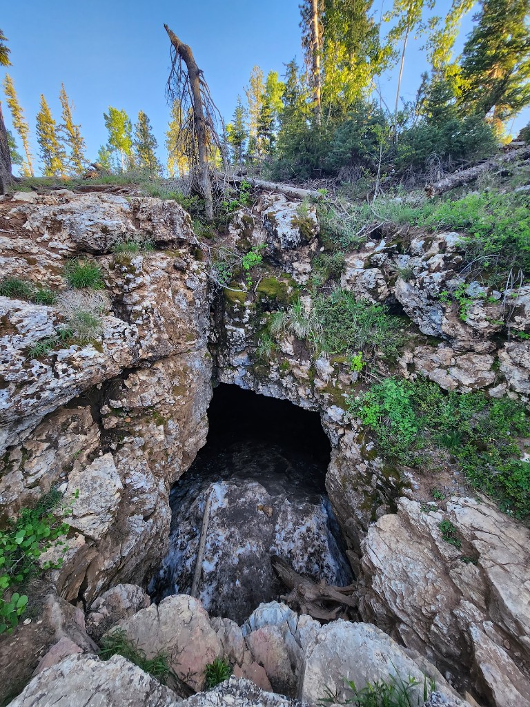
The local classic lava tube - closed October 1 to April 30 for hibernating bats, and you want a real light for every person.
Mule deer, elk herds, marmots, and the occasional fox. Pre-breakfast is prime.
Family-scale high-elevation resort, starting around 9,600 ft and rising to nearly 11,000 ft.
Groomed trails when coverage allows. The same OHV routes, all white.
Quiet forest routes from the village, with rental options up the hill.
Duck Creek Pond is right in the village - a first-cast spot for many kids.
Easy half-mile walk to the most photogenic small lake in the area.
Coffee, breakfast, pizza, pub plates, and barbecue inside the village.
Big-box and grocery options 40 minutes down UT-14. Top off before you head back up.
Each guide goes deep on one part of the Duck Creek experience.
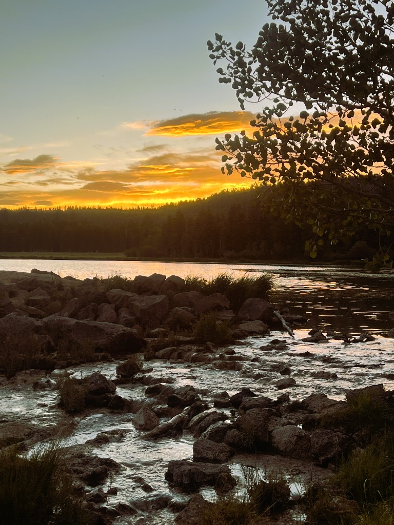
Where to fish near Duck Creek Village: Navajo Lake, Duck Creek Pond, Aspen Mirror Lake, and Panguitch Lake with species, gear, and seasonal tips
View guide Where to camp near Duck Creek Village — Duck Creek Campground, the Navajo Lake campgrounds, free dispersed sites at Uinta Flat, plus fees, seasons, and RV notes
View guide Scenic Highway 14 fall foliage drive, peak timing, best stops, and photography tips for autumn in the Duck Creek area
View guide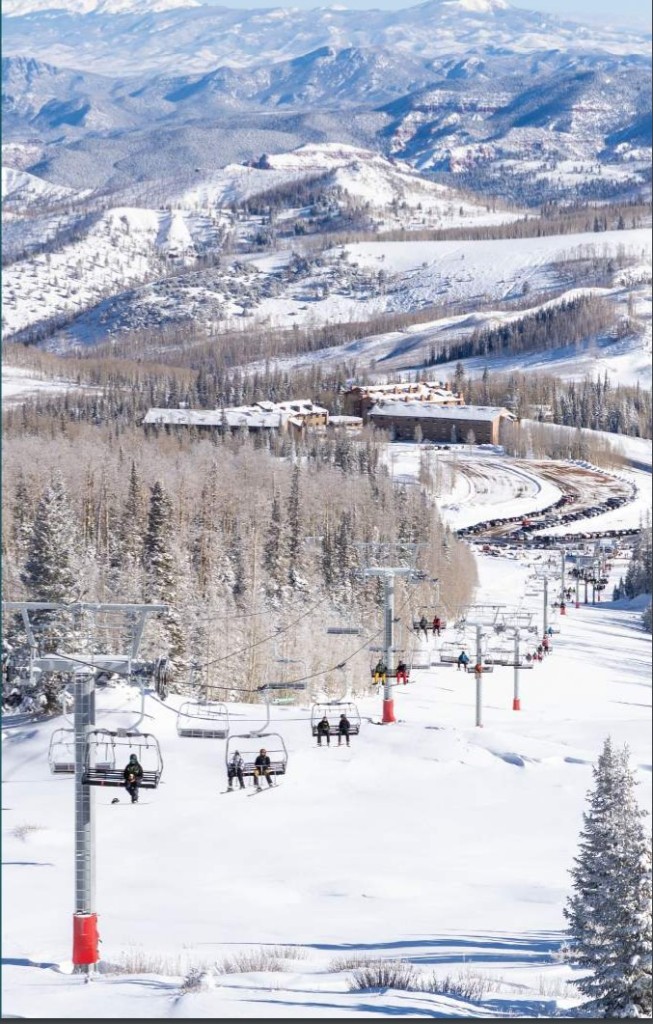
Deer Hollow Winter Recreation Area, snowmobiling, cross-country skiing, and winter scenery around Duck Creek Village
View guide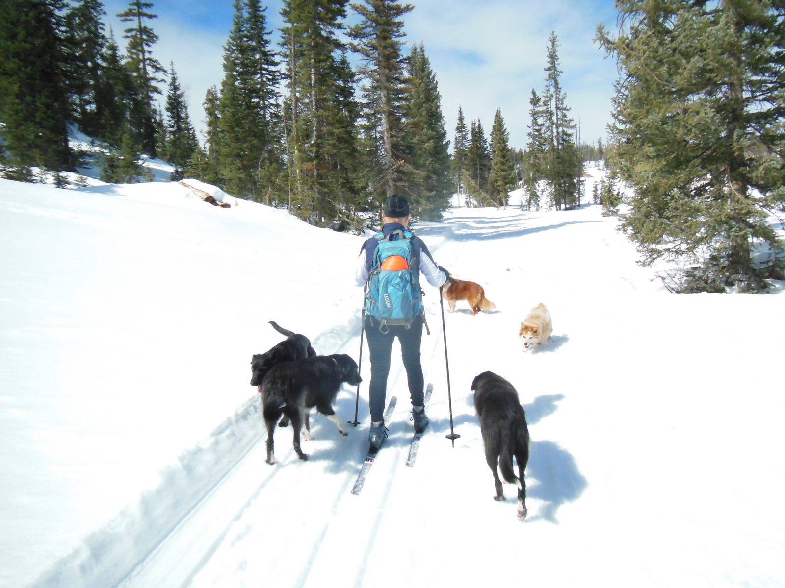
Deer Hollow Winter Recreation Area on Highway 14, about 6 miles west of the village near milepost 23: groomed cross-country ski loops, snowshoe and fat bike trails, dog-friendly routes, and what the same meadows offer in summer
View guide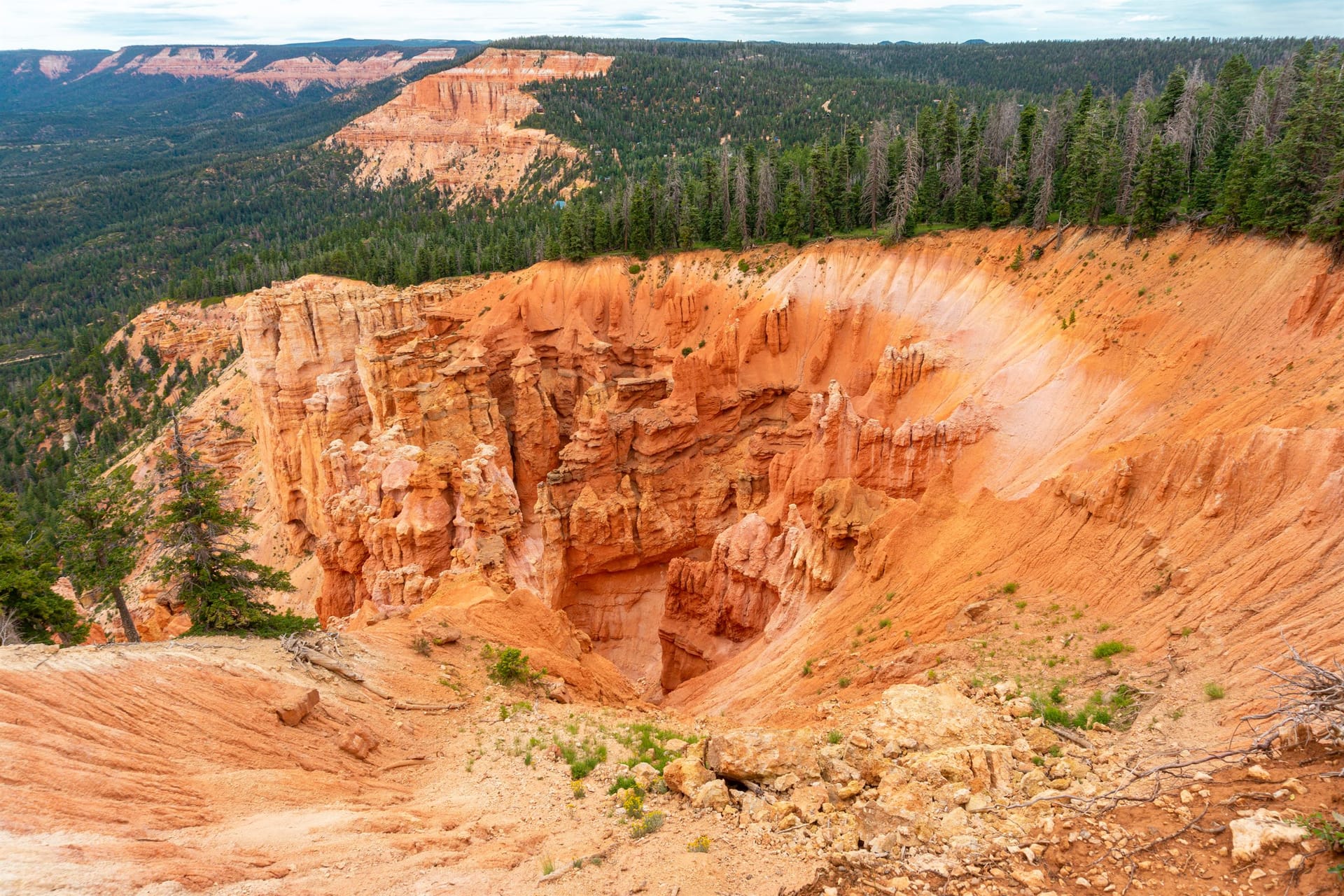
Strawberry Point overlook: the gravel road from Highway 14, the five-minute walk to the rim, hoodoos and Zion views, sunset timing, and the cliff-edge and road-season cautions
View guide A sourced history of Duck Creek Village — Southern Paiute high country, mountain dairies and sheepherders, the 1930s Civilian Conservation Corps camp, Navajo Lake and the sinkhole caves, Highway 14, and the movie-ranch era
View guide Why the main road is called Movie Ranch Road — the assembled, sourced history of Duck Creek Village as a Hollywood filming location, from Drums Along the Mohawk (1939) to How the West Was Won
View guideThe identity facts people most often look up, with the sources they come from.
Elevation is cited two ways because both are correct: the USGS GNIS benchmark for Duck Creek Village is 8,507 ft (2,593 m), while the village core along Highway 14 — where the lodging, restaurants, and pond sit — is right around 8,400 ft. Duck Creek Village is an unincorporated community rather than a census-designated place, so no separate population figure is published for it.
Sources: Wikidata Q14711503 Wikipedia
Duck Creek Village sits at about 8,400 feet (2,560 m) above sea level, on the Markagunt Plateau inside Dixie National Forest, roughly 30 miles east of Cedar City on Scenic Byway Highway 14. The USGS GNIS benchmark for Duck Creek Village reads 8,507 ft (2,593 m); the village core along the highway — where the lodging, restaurants, and pond sit — is right around 8,400 ft. Both figures are correct, they just measure slightly different points on the same plateau.
That altitude is the whole reason the village feels the way it does. Summer days run far cooler than the red-rock country below, and nights stay cool right through July and August. Winter brings real snow from roughly December through March, tracked by the two SNOTEL stations that bracket the village.
It is also high enough that some guests notice it on arrival: slight breathlessness on hills, faster dehydration, and a stronger sun than the temperature suggests. Drink more water than you think you need, take the first afternoon easy, and use sunscreen even in fall.
Duck Creek weather and forecast → Live snow report and SNOTEL history →
Duck Creek Village is 30 miles east of Cedar City on Highway 14, a 40 to 45 minute drive; the nearest interstate is I-15 at Cedar City.
Nearly everyone arrives on Highway 14, the Scenic Byway that climbs east out of Cedar City and crests the Markagunt Plateau. The last 18 miles gain serious elevation, moving from high desert into ponderosa, spruce, and aspen. The road is paved the whole way and plowed through winter, but it is a mountain highway — it closes for storms and for the occasional rockfall, and UDOT is the authority on whether it is open.
From the south and west, take I-15 to Cedar City and turn east on UT-14. From the north, I-15 south to UT-20, then US-89 south, then UT-14 west. Coming from Bryce Canyon or Kanab, US-89 to UT-14 is the usual approach.
At 8,400 feet, Duck Creek Village runs 20 to 30 degrees cooler than St George and Zion in summer and holds real snow from about December through March.
Elevation is the single most important thing to understand about Duck Creek. At 8,400 feet the village runs far cooler than the red-rock country below it — which is exactly why it fills up in July and August, when Zion and St George are punishing. Nights stay cool through the summer.
Winter brings real snow. The two SNOTEL stations that bracket the village — Harris Flat at 7,800 ft below it and Midway Valley at 9,830 ft above — have been recording depth and snow-water equivalent since the 1980s and 1990s, and we publish their live readings and historical bands rather than a generic forecast.
The altitude is high enough that some guests notice it: slight breathlessness on hills, faster dehydration, and a stronger sun than the temperature suggests.
The Markagunt Plateau — a Southern Paiute name usually rendered "highland of trees" — was in seasonal use long before settlement. Cedar City families ran summer dairies on Cedar Mountain from the 1860s, sheepherders gathered at Duck Creek, and the Dixie Forest Reserve was established in 1905. The Civilian Conservation Corps arrived in 1933, building the Duck Creek work center and campground and, later, the earthen dike that still stabilizes Navajo Lake against its sinkholes.
The village also had a Hollywood era, which is why the main road through town is called Movie Ranch Road.
Full sourced history of Duck Creek Village → Why it is called Movie Ranch Road →
A day on the plateau
The shape of a summer day most guests fall into. Adjust the order for shoulder seasons, but keep the early start, lake afternoon, and dark-sky finish.
01
Coffee on the porch while the meadow wakes up. Mule deer often graze through this early.
02
Half-mile out and back. The water is still and mirror-flat before the wind picks up.
03
Pick a Markagunt loop, or drive UT-14 and UT-148 up to Cedar Breaks for the high-country lap.
04
Picnic lunch, paddle, or cast for a stocked rainbow. Wind starts mid-afternoon, so fish early.
05
Pizza, pub plates, or barbecue at one of the in-village spots. Walk it off afterward.
06
No drive required. Duck Creek skies are dark enough that the Milky Way can hang overhead.
Approximate positions of the lakes, viewpoints, caves, and trails most guests visit. Drive times are typical fair-weather estimates from the inn.
By the season
Duck Creek changes more by season than by week. Pick the season that matches the trip you want, then confirm conditions before driving up Highway 14.
Dec - Mar
Snow, fireplaces, deep quiet
Brian Head skiing, snowmobile trails, and snowshoe routes nearby. Bring winter driving gear.
Apr - May
Runoff, flowers, fewer cars
Cascade Falls roars on snowmelt. Lower trails open first; Cedar Breaks seasonal road access often opens later, so check NPS before planning around it.
Jun - Aug
Lakes, trails, dark-sky nights
Peak ATV season, fishing in earnest, Cedar Breaks wildflowers mid-July. Afternoon storms are common.
Sep - Oct
Aspens, cool days, fewer crowds
Highway 14 fall color, good hiking weather, easier park access. Pack a warm layer for evenings.
ATV trails, fishing, caves, wildlife, fall color, hiking, supplies, and local events — with links to deeper guides.
Use Plan Your Days to mix Duck Creek activities with day trips to Cedar Breaks, Bryce Canyon, and Zion. Compare our rooms and cabins to match your trip.
Sleeping outside instead? Duck Creek Campground sits right off Highway 14 at the west end of the village — our camping guide covers its loops, fees, season, and the quieter Navajo Lake campgrounds nearby.
March 2026
We write these guides from the perspective of guests staying in Duck Creek Village. Before you drive, cross-check conditions with the official resources here.
The questions trip planners usually ask about Duck Creek.
Duck Creek Village sits at 8,400 ft on the Markagunt Plateau in Dixie National Forest, about 30 miles east of Cedar City on Scenic Byway Highway 14. Cedar Breaks is 20 minutes away, Bryce Canyon and the east side of Zion are each about an hour.
Duck Creek Village sits at about 8,400 feet (2,560 m) above sea level on the Markagunt Plateau in Dixie National Forest. The USGS GNIS benchmark for the village reads 8,507 ft (2,593 m), while the village core along Highway 14 is right around 8,400 ft — both figures are correct, they just measure slightly different points. It is high enough that some guests notice the thinner air on the first day.
High-elevation forest, the Markagunt OHV system for ATV and side-by-side riding, four nearby trout waters, cool mountain air in summer when southern Utah is hot, fall color along Highway 14, and reliable winter snow.
Drive up Highway 14 from Cedar City (40 min, the most common approach). From Las Vegas or St George take I-15 north to UT-14. From Salt Lake City take I-15 south to UT-20 to US-89 to UT-14. The last 18 miles climb from high desert into ponderosa, spruce, and aspen.
There is limited local fuel and convenience service in Duck Creek, but hours and availability can matter. For longer park days, still top off in Cedar City or another larger town before climbing the mountain.
Yes - Duck Creek is one of the few mountain villages where the Markagunt OHV system connects to the village itself. You can ride from the inn without trailering.
The Cedar Breaks rim road (SR-148) is closed from about mid-November to mid-May on average, per the National Park Service, so it is usually open by mid to late May and stays open until the first sustained snow. The visitor center closes in mid-October. Winter access is by snowshoe, ski, or snowmobile only. Check the NPS conditions page before driving up.
Color usually peaks from mid-September through early October along Highway 14. Higher elevations turn first. Visit Aspen Mirror Lake and drive UT-148 toward Cedar Breaks for the densest stands.
Yes. The village pond is a walkable first-fishing spot, Aspen Mirror is a short flat walk, lava-tube caves are an adventure rather than a hike, and ATV outfitters cater to first-time riders. The plateau is cool in summer when canyons are punishingly hot.
For Highway 14 to the village, no - it is paved and plowed in winter. For dirt forest roads, ATV trails, and some lake approaches, ground clearance and AWD help. In heavy snow, carry chains or use a 4WD/AWD vehicle.
Highway 14 is a year-round, plowed state highway and rarely closes, but it can shut for a few hours during heavy storms or after a rockfall. UDOT can require traction devices on the canyon grades, so carry chains or drive AWD or 4WD in winter. If Cedar Canyon does close, the detour is I-15 to UT-20 to US-89 to UT-14 from Long Valley Junction, about two hours instead of 45 minutes. Our road conditions page shows the live UDOT cameras.
Cedar City is about 30 miles and 40 to 45 minutes down Highway 14. Cedar Breaks is 20 minutes. Zion east entrance is about 46 miles and 70 minutes via US-89 and SR-9. Bryce Canyon is roughly 50 miles and about an hour via US-89 and UT-12. Las Vegas is about 200 miles and 3 to 3.5 hours; Salt Lake City about 4.5 hours.
There is no full grocery store in the village. Cedar Mountain Country Store and Loose Wheels cover basics, snacks, ice, and fuel, and Loose Wheels is the only gas station. Do the big shop in Cedar City on the way up, or in Orderville if you are coming from the Zion side.
8,400 ft is high enough that some guests notice - slight breathlessness on hills, faster dehydration, stronger sun. Drink more water than you think, take it easy on the first afternoon, and use sunscreen even in fall.
Book your room or cabin at Duck Creek Village Inn and make it your mountain hotel.