
Combien de temps dure Alpine Pond Trail ?
La boucle fait 2 miles et prend généralement 45 à 90 minutes.
Guide Duck Creek
La randonnée signature de Cedar Breaks - prairies fleuries, pins bristlecone et bassin subalpin tranquille en deux miles faciles
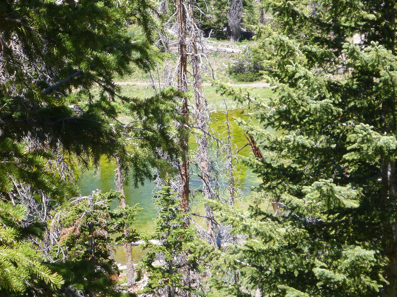
Alpine Pond Trail est la randonnée classique de Cedar Breaks et la première marche à faire si vous ne connaissez pas encore le monument. La boucle traverse des prairies subalpines, des bosquets de trembles et de pins bristlecone, puis rejoint un petit bassin tranquille au-dessus de 10 000 pieds.
C’est une boucle courte, mais l’altitude et le vent lui donnent plus de présence qu’une distance similaire en vallée.
Park, use the vault toilet, and look over the rail before you start: the Chessmen are the row of formations to the south. The trail leaves the north end of the lot.
A few hundred yards in. Go left (clockwise) so you reach the rim while the light is still on the rock.
A short spur to the amphitheater edge. The best photograph on the walk. Stay on the spur; the endemic gilia grows in the gravel beside it.
The trail drops gently through open meadow, the July flower show. The wet ground near the bottom has shooting star and marsh marigold; the connector to the short loop leaves here.
Spring-fed, still, ringed by spruce. Sit for ten minutes. Dragonflies in July, ice at the edges in early June.
The return climbs through open forest past the old bristlecone pines back to the upper junction and the lot. About 250 feet of gain in total.
La boucle suit une prairie ouverte avant d’entrer dans les bosquets de trembles et de bristlecones. Le bassin lui-même est simple et calme, mais tout le contexte - altitude, vent, ciel immense - rend la balade mémorable.
Au milieu de l’été, les fleurs sauvages peuvent être spectaculaires, et le contraste avec les hoodoos au loin est l’un des plus beaux de la région.
The trailhead is the Chessmen Ridge Overlook lot, 2.5 miles north of the visitor center. The pond sits half a mile east of the road in the forest. From the inn it is 16 miles to the visitor center and another 2.5 to the trailhead, about 30 minutes.
Trail points and overlooks along Highway 148. The loop runs between the Chessmen Ridge Overlook pin and the Alpine Pond pin; tap either for its note.
Nine flowers account for most of what you will see on the loop, in roughly this order through the summer. The bars are the usual bloom windows; the wildflower guide has all twenty species, the endemics on the rim, and the festival schedule.
| Flower | Weeks from late May to mid September |
|---|---|
| Silvery lupine | |
| Aspen bluebells | |
| Scarlet paintbrush | |
| Colorado columbine | |
| Larkspur | |
| Pretty shooting star | |
| Marsh marigold | |
| Elkweed | |
| Little sunflower | |
The twisted, half-bare trees on the upper leg of the loop and along the rim are Great Basin bristlecone pines, the species that includes the oldest known living trees on Earth. The park says some of the bristlecones at Cedar Breaks are more than 1,600 years old, which means they were seedlings while Rome was still an empire. They grow on the harshest ground on the rim because nothing else will, put on a fraction of an inch a year, and survive by letting most of the tree die back and keeping a strip of living bark alive. The best grove is the short spur from the Chessmen Ridge lot; the oldest trees are along the South Rim Trail to Spectra Point.
The dead grey spruce you will also notice, here and across the plateau, are Engelmann spruce killed by a spruce beetle outbreak in the 1990s and 2000s. The green coming up between them is the next forest, and the openings the beetles made are part of why the meadows here are so big.
La fenêtre la plus fiable va de fin mai à début octobre, selon l’ouverture de la route.
Mi-juillet à début août est souvent la meilleure période pour les fleurs sauvages.
Alpine Pond est facile à ajouter à un passage par Cedar Breaks ou à une journée de détente depuis Duck Creek. Vous pouvez revenir à l’auberge pour un déjeuner tardif, puis repartir vers Bryce ou Navajo Lake.
Reviewed September 2026
Nous écrivons ce guide du point de vue des clients du Duck Creek Village Inn. L’altitude et les dates d’ouverture changent selon la saison - vérifiez toujours les informations officielles avant de partir.
Les questions qu’on nous pose le plus souvent sur cette randonnée.
La boucle fait 2 miles et prend généralement 45 à 90 minutes.
Non. C’est une randonnée facile, mais l’altitude et le vent peuvent la rendre plus exigeante qu’il n’y paraît.
Oui. La mi-juillet et le début août sont souvent les meilleurs moments.
Oui, c’est l’un des meilleurs sentiers de Cedar Breaks pour les familles.
Non. Les frais et passes du monument suffisent.
The rest of the Cedar Breaks guide.
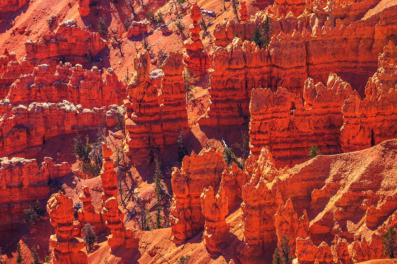
Sentiers de Cedar Breaks classés par difficulté, des promenades faciles dans les prairies aux itinéraires de crête avec pins bristlecone
See best hikes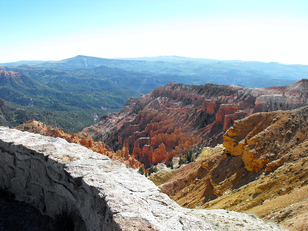
Point Supreme, Sunset View, North View et Chessmen Ridge - chaque belvédère et ce qu’il faut voir au centre des visiteurs
See overlooks & visitor center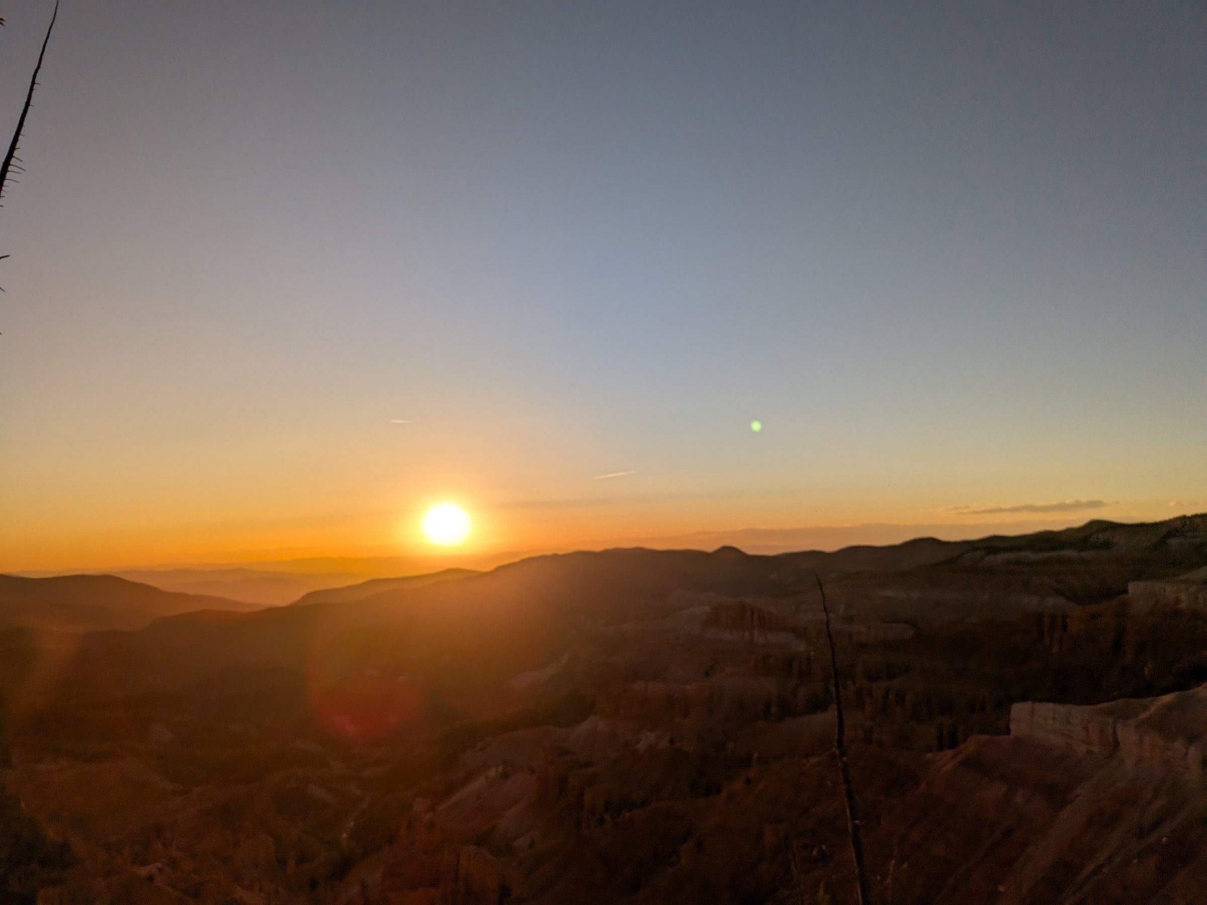
Le meilleur point de vue pour le coucher de soleil du sud de l’Utah et un International Dark Sky Park - comment planifier une soirée à Cedar Breaks
See sunset & stargazingTurn a morning walk into a full day.
Rooms for an easy start, cabins for a slower week.
Réservez votre chambre ou votre cabane au Duck Creek Village Inn - à 20 minutes du monument et idéal pour une sortie courte en altitude.