
How long is the Alpine Pond Trail?
The full loop is about 2 miles with roughly 250 feet of elevation gain, and a connector trail halfway around makes a 1-mile short loop. Most people take 45 minutes to an hour and a half.
Guía de Duck Creek
La ruta insignia de Cedar Breaks: praderas floridas, pinos bristlecone y un tranquilo estanque subalpino en dos millas fáciles
Si haces una sola caminata en Cedar Breaks, que sea está. Alpine Pond Trail es un bucle de 2 millas que te lleva por praderas floridas, pinos bristlecone y un estanque tranquilo a más de 10,000 pies. El sendero está bien mantenido, señalizado y es manejable para la mayoría de los niveles físicos.
Es una caminata que funciona especialmente bien desde Duck Creek porque no consume toda la tarde. Puedes verla en una hora más o menos, volver al pueblo para almorzar o combinarla con miradores y una puesta de sol en el borde. En pleno verano, la pradera se llena de flores y el agua del estanque refleja el cielo y la línea del borde.
Park, use the vault toilet, and look over the rail before you start: the Chessmen are the row of formations to the south. The trail leaves the north end of the lot.
A few hundred yards in. Go left (clockwise) so you reach the rim while the light is still on the rock.
A short spur to the amphitheater edge. The best photograph on the walk. Stay on the spur; the endemic gilia grows in the gravel beside it.
The trail drops gently through open meadow, the July flower show. The wet ground near the bottom has shooting star and marsh marigold; the connector to the short loop leaves here.
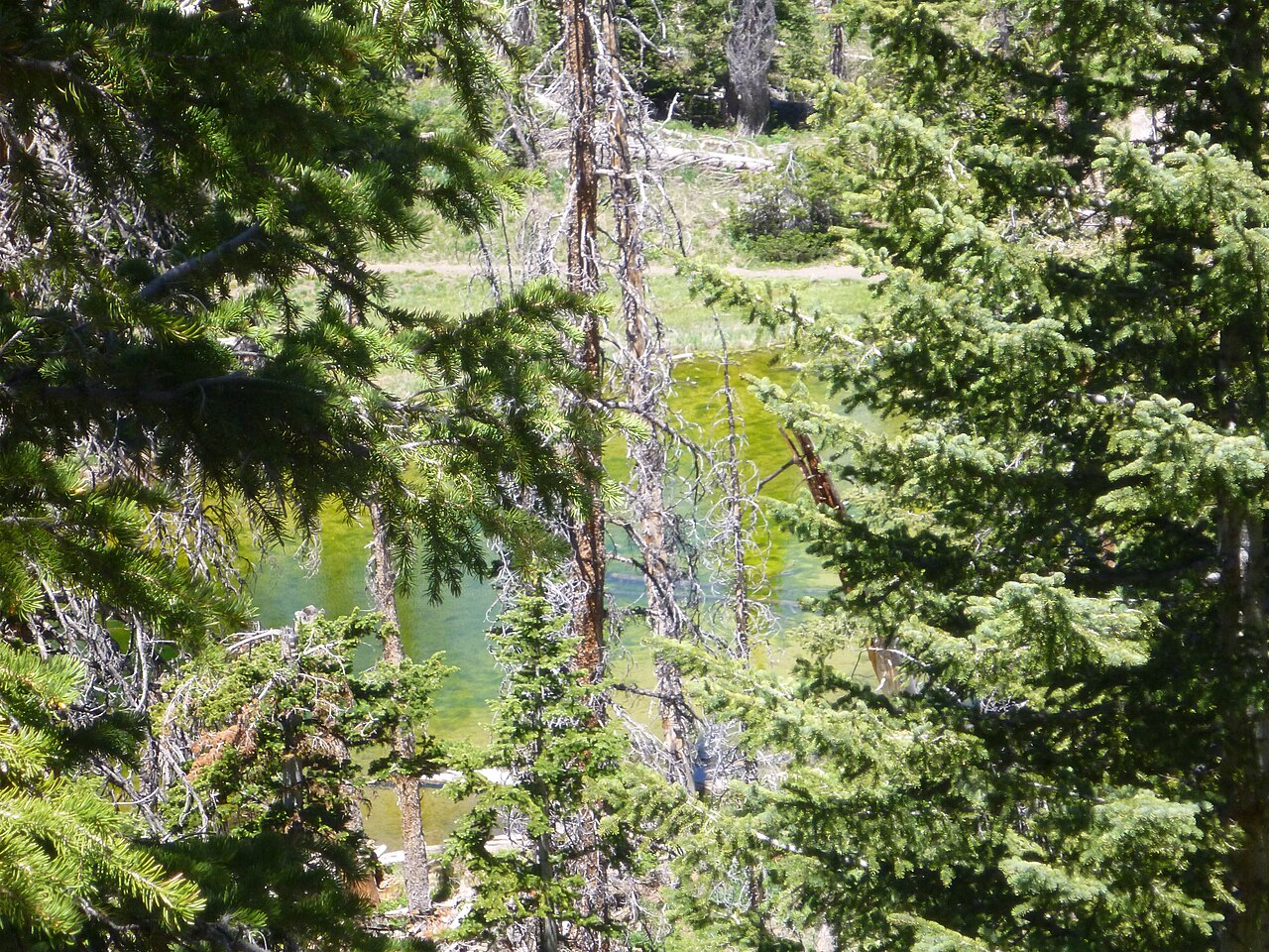
Spring-fed, still, ringed by spruce. Sit for ten minutes. Dragonflies in July, ice at the edges in early June.
The return climbs through open forest past the old bristlecone pines back to the upper junction and the lot. About 250 feet of gain in total.
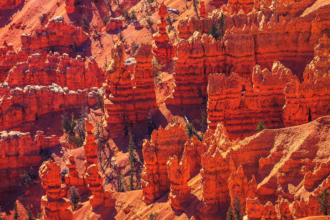
The trail leaves the parking lot into spruce and fir and reaches the loop junction within a few hundred yards. Going clockwise, left at the junction, brings you to the rim first: a short spur to an overlook above the amphitheater, with the fins and hoodoos directly below and the Chessmen, the row of formations the ridge is named for, off to the south. It is the best photo on the walk and the reason to start this direction while the light is on the rock.
From the rim the trail drops gently into the meadows. From late June into August these are the wildflower show: lupine and bluebells first, then paintbrush, columbine and larkspur, with elkweed stalks standing above the grass and shooting stars in the wet ground near the bottom. The wildflower guide has the full calendar; the section below picks out what you will actually meet on this loop.
Alpine Pond itself sits in a fold of the forest, fed by a spring, small enough to walk around in a few minutes and still enough on a calm morning to mirror the trees. It is not dramatic the way the rim is. It is the quietest place in the monument, and worth sitting at for ten minutes.
The return leg climbs gradually through open forest back to the ridge. This is where the bristlecone pines are, gnarled and half dead in the way only a very old tree can afford to be. Some on the rim are more than 1,600 years old. From the upper junction it is a few minutes back to the car.
The trailhead is the Chessmen Ridge Overlook lot, 2.5 miles north of the visitor center. The pond sits half a mile east of the road in the forest. From the inn it is 16 miles to the visitor center and another 2.5 to the trailhead, about 30 minutes.
Trail points and overlooks along Highway 148. The loop runs between the Chessmen Ridge Overlook pin and the Alpine Pond pin; tap either for its note.
Nine flowers account for most of what you will see on the loop, in roughly this order through the summer. The bars are the usual bloom windows; the wildflower guide has all twenty species, the endemics on the rim, and the festival schedule.
| Flower | Weeks from late May to mid September |
|---|---|
| Silvery lupine | |
| Aspen bluebells | |
| Scarlet paintbrush | |
| Colorado columbine | |
| Larkspur | |
| Pretty shooting star | |
| Marsh marigold | |
| Elkweed | |
| Little sunflower | |
The twisted, half-bare trees on the upper leg of the loop and along the rim are Great Basin bristlecone pines, the species that includes the oldest known living trees on Earth. The park says some of the bristlecones at Cedar Breaks are more than 1,600 years old, which means they were seedlings while Rome was still an empire. They grow on the harshest ground on the rim because nothing else will, put on a fraction of an inch a year, and survive by letting most of the tree die back and keeping a strip of living bark alive. The best grove is the short spur from the Chessmen Ridge lot; the oldest trees are along the South Rim Trail to Spectra Point.
The dead grey spruce you will also notice, here and across the plateau, are Engelmann spruce killed by a spruce beetle outbreak in the 1990s and 2000s. The green coming up between them is the next forest, and the openings the beetles made are part of why the meadows here are so big.
Peak wildflowers: the first half of July in most years, which is when the park holds its Wildflower Festival (July 3 to 11 in 2026). Late June is blue with lupine and flax; August is gold with sunflowers. The wildflower guide tracks the season week by week.
Best time of day: mid morning. The meadows have dried, the light is on the rim for the overlook spur, the pollinators are working, and you are done before the afternoon clouds. If you are pairing the walk with sunset, go up in the late afternoon and finish at the trailhead lot, which is a ten-minute drive from Sunset View.
Avoid: the afternoon in July and August, when thunderstorms build over the plateau most days. The rim spur and the upper meadow are exposed. If the clouds are stacking up by noon, walk the one-mile loop and keep the rim for another day.
Early season: the road opens in mid to late May but the loop holds snow and mud on its shaded sections into mid June. The park warns of muddy, uneven trail; wear real shoes and expect to walk around drifts.
The Alpine Pond loop is the perfect half day paired with the overlooks, or the first stop before an afternoon at Navajo Lake on the way back down. Use Plan Your Days to build the full itinerary from Duck Creek Village Inn, and compare our rooms and cabins. The wildflower guide and the sunset page cover the two reasons to come back the same week.
Reviewed September 2026
We walk this loop every summer and write it for guests leaving from the inn. Trail distance, elevation and the trailhead location follow the National Park Service and its places data; bristlecone ages and the wildflower species come from NPS pages and the park's trailside signs. Snow lingers on the loop into June, so check the NPS conditions page before an early-season walk.
Preguntas habituales de quienes planifican el viaje.
The full loop is about 2 miles with roughly 250 feet of elevation gain, and a connector trail halfway around makes a 1-mile short loop. Most people take 45 minutes to an hour and a half.
Yes. It is well maintained, the grades are gentle, and the one-mile short loop is there if legs give out. The whole walk is above 10,000 feet, so children tire faster than at home; bring snacks, water and a warm layer.
Early to mid July for peak wildflowers, mid morning for light and weather. The trail is usually clear of snow from mid June to October; early-season mud and drifts linger in the shade. Afternoon thunderstorms are common in July and August, so start before noon.
No. Pets are not permitted on any dirt trail at Cedar Breaks, only on paved areas, parking lots and the paved Sunset Trail.
At Chessmen Ridge Overlook on Highway 148, about 2.5 miles north of the visitor center and the highest overlook in the monument at 10,461 feet. There are vault toilets at the lot. A second trailhead half a mile further north joins the same loop.
Yes, because it is a different monument. The overlooks are the rock; the loop is the meadows, the forest and the bristlecones, with one rim view thrown in near the start. In July it is the best wildflower walk on the mountain.
The rest of the Cedar Breaks guide.
Senderos de Cedar Breaks por dificultad, desde paseos fáciles por praderas hasta rutas de borde con pinos bristlecone
See best hikes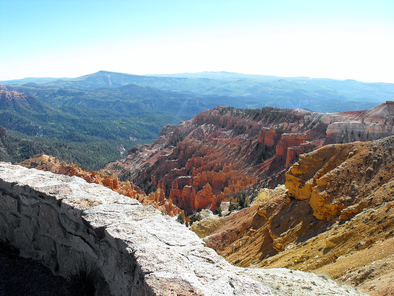
Point Supreme, Sunset View, North View y Chessmen Ridge: cada mirador y qué ver en el visitor center
See overlooks & visitor center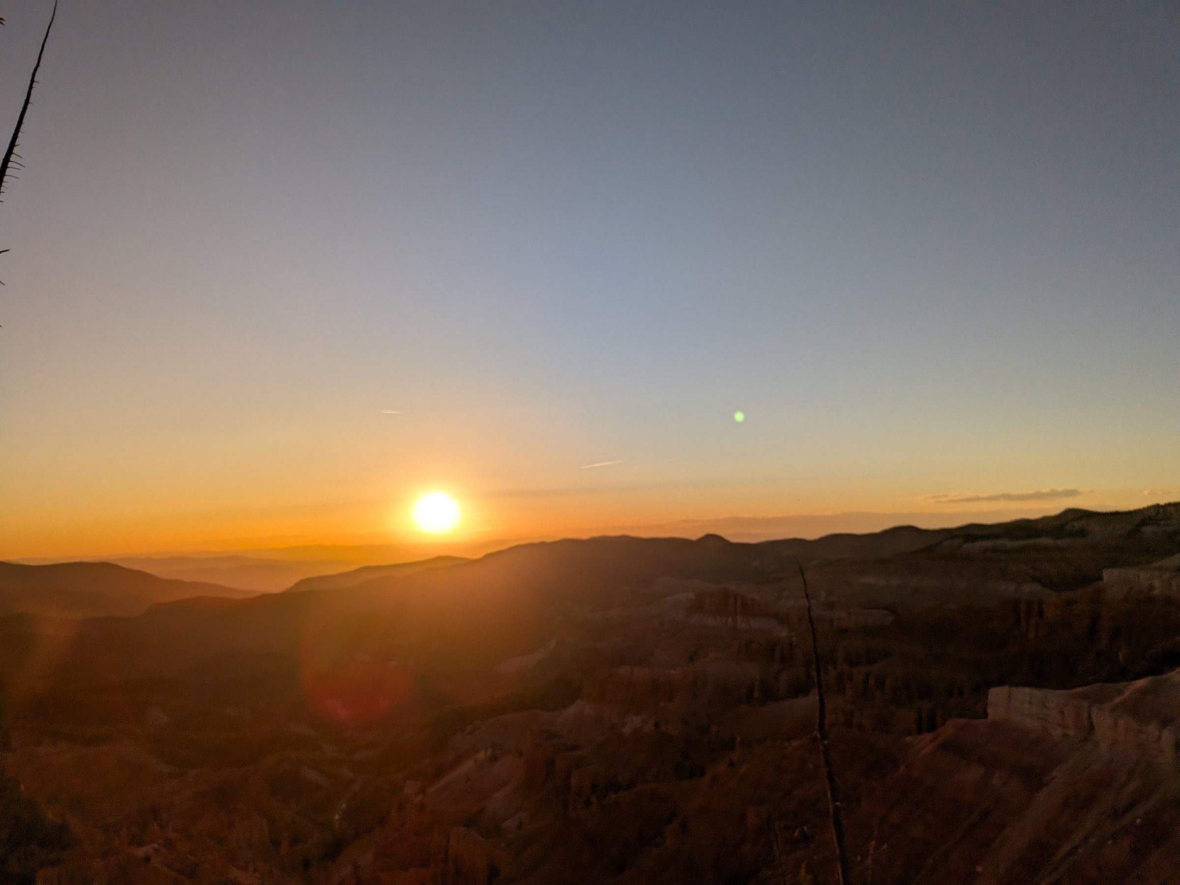
El mejor atardecer del sur de Utah y un International Dark Sky Park: cómo planear una noche en Cedar Breaks
See sunset & stargazingTurn a morning walk into a full day.
Rooms for an easy start, cabins for a slower week.
Rooms with breakfast or cabins with a kitchen at Duck Creek Village Inn, 25 minutes from the trailhead, with cool mountain mornings and wildflowers in season.