How long is the Alpine Pond Trail?
The full loop is about 2 miles with roughly 250 feet of elevation gain. Most people complete it in 45 minutes to an hour and a half, depending on pace and how long they stop for wildflowers and views.
Duck Creek Guide
The signature Cedar Breaks hike - wildflower meadows, bristlecone pines, and a quiet subalpine pond in two easy miles
If you only do one hike at Cedar Breaks, this is the one. The Alpine Pond Trail is a 2-mile loop that starts at the Chessmen Ridge parking area and takes you through wildflower meadows, past ancient bristlecone pines, to a quiet subalpine pond sitting at over 10,000 feet. It is the kind of hike where the scenery does all the work - you just walk and look.
The trail is well-maintained, clearly signed, and manageable for most fitness levels. There is some elevation change - about 250 feet - but the grade is gentle and the footing is good. Most people complete the loop in 45 minutes to an hour and a half, depending on how often they stop.
The trail starts in subalpine forest - spruce, fir, and the first bristlecone pines. Within the first half mile, you reach a junction where the loop splits. Going clockwise (left at the junction) takes you past the amphitheater overlook first, where you get a rim-edge view of the colorful rock formations below. This is a great photo stop and one of the most rewarding views on the trail.
From the overlook, the trail curves through open meadows. In mid-July through early August, these meadows fill with wildflowers - columbine, paintbrush, larkspur, lupine, and dozens of other species. Cedar Breaks is one of the best wildflower destinations in southern Utah, and this trail is where you see the best of it.
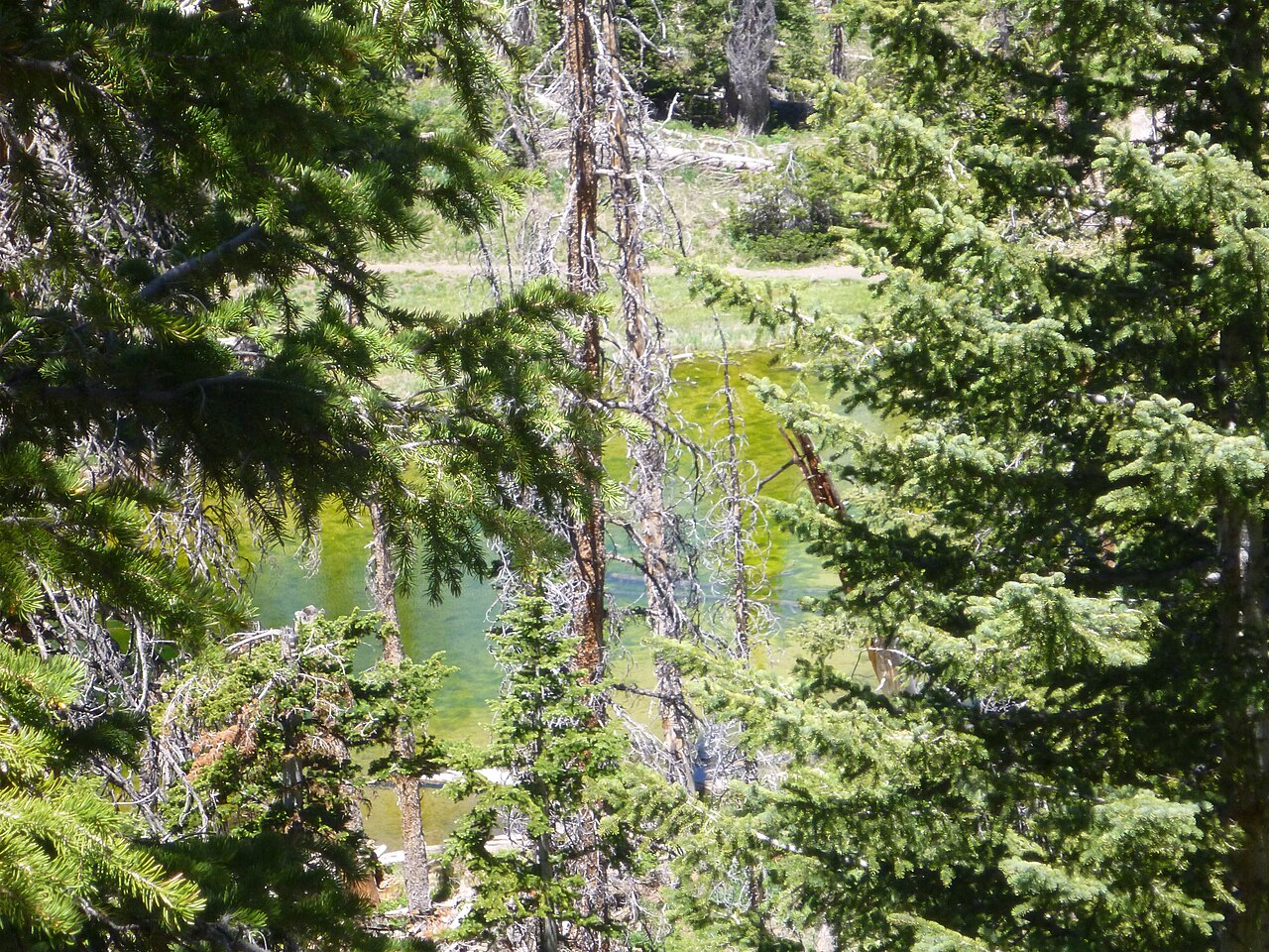
The trail descends gently to Alpine Pond itself - a small, quiet body of water surrounded by forest. It is not dramatic the way the amphitheater is, but it is peaceful. On calm mornings the pond reflects the trees and sky. Dragonflies work the surface in summer. It is a good place to sit for a few minutes.
From the pond, the trail climbs gradually back through bristlecone pine groves to the parking area. Some of these trees are over 1,600 years old - gnarled, weathered, and still growing. They are worth a close look.
Peak wildflowers: Mid-July through early August in a typical year. The exact timing depends on snowmelt and moisture - check the NPS wildflower page for current bloom status.
Best time of day: Late morning through early afternoon. The meadows are warmer, the light is good for photography, and the morning dew has dried from the trail. If you are combining with a sunset visit, hike in the late afternoon and then drive to Sunset View.
Avoid: Afternoon thunderstorms are common in July and August. If you see clouds building, finish the hike and get to the car. Lightning at 10,000 feet on an exposed trail is not something you want to experience.
The Alpine Pond Trail works perfectly as a relaxed half-day paired with overlooks, or as the first stop before an afternoon at Navajo Lake. Use Plan Your Days to build a full itinerary from Duck Creek Village Inn. Compare our rooms and cabins - you will be back at the inn before you know it.
March 2026
We hike this trail regularly and write from the perspective of guests staying at Duck Creek Village Inn. Trail conditions change with snow and weather - always check the NPS conditions page before you go.
Common questions from trip planners.
The full loop is about 2 miles with roughly 250 feet of elevation gain. Most people complete it in 45 minutes to an hour and a half, depending on pace and how long they stop for wildflowers and views.
Yes. The trail is well-maintained and the distance is manageable for most school-age children. Keep in mind the 10,000-foot altitude - kids may tire faster than at lower elevations. Bring snacks, water, and a warm layer for wind.
Mid-July through early August for peak wildflower bloom. The trail is generally accessible from late May through mid-October, but early-season mud and lingering snow can affect sections. Late morning is ideal - the meadows are warmer and the light is good for photography.
No. Pets are not permitted on any trails at Cedar Breaks National Monument. They are only allowed on paved surfaces and in parking lots.
The trailhead is at the Chessmen Ridge Overlook parking area along the monument road (Highway 148), about 2.5 miles north of the visitor center. There are vault toilets at the parking area.
Book your room or cabin at Duck Creek Village Inn - 20 minutes from the trailhead with cool mountain mornings and wildflowers in season.