Cedar Breaks tiene un sistema de senderos pequeño pero de gran calidad: solo dos rutas principales y un conector corto. Eso hace que la planificación sea fácil, pero la altitud añade importancia a cada milla. Todos los senderos empiezan por encima de 10,000 pies, así que ve a tu ritmo y lleva agua y capas.
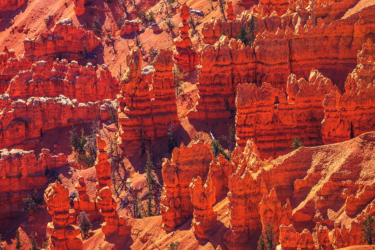
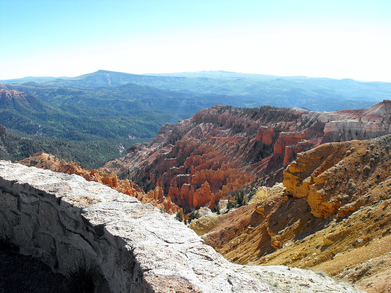
La mayoría de los visitantes se queda en los miradores, pero los senderos te dan una sensación distinta del monumento. Alpine Pond lleva a una pradera subalpina tranquila; Spectra Point y Ramparts recorren el borde del anfiteatro entre pinos antiquísimos y vistas de roca roja. Son caminos cortos en distancia, pero grandes en sensación.
Distances and elevations from the National Park Service. All trailheads are on Highway 148 with paved parking; the entrance fee is $25 per vehicle for seven days.
Easy trails
For families, first visits, and anyone who wants the scenery without the effort.
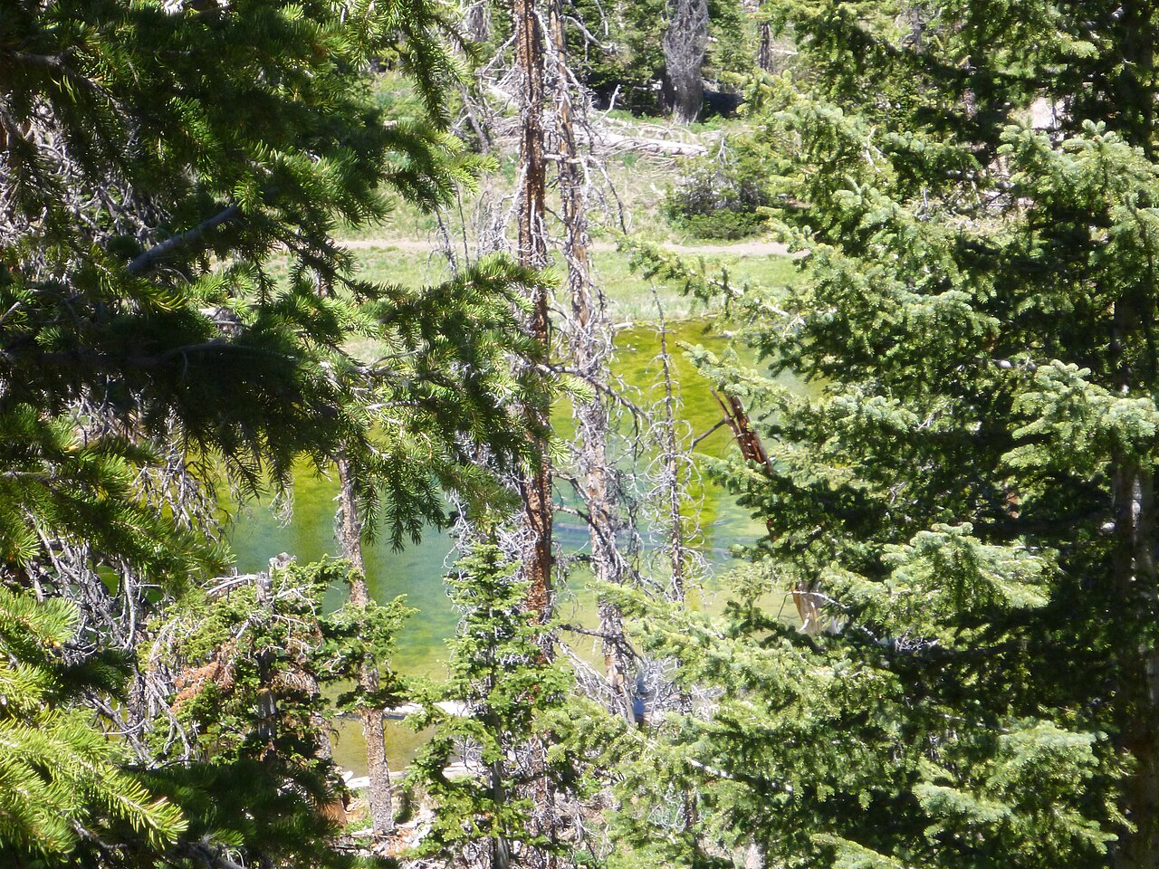
La ruta insignia de Cedar Breaks y la caminata que la mayoría de visitantes debería hacer primero. Un bucle suave entre praderas de flores silvestres y pinos bristlecone hasta un tranquilo estanque subalpino a más de 10,000 pies.
Consejo: La floración máxima suele ir de mediados de julio a principios de agosto. Lleva una capa extra: el viento a 10,000 pies puede volverse frío muy rápido, incluso en una tarde soleada.
Campground Trail
1 milla solo ida 100 pies 20-30 minutos
Sendero corto que conecta Point Supreme Campground con la zona del visitor center. Es llano, sombreado y bueno para estirar las piernas.
Consejo: Funciona bien como calentamiento antes de Alpine Pond o de los miradores. Los niños y los perros con correa en zonas pavimentadas suelen ir bien aquí.
Sunset Trail
2 millas ida y vuelta ~100 pies 45-60 minutos
Un camino pavimentado y accesible en silla de ruedas junto al borde, entre Point Supreme y Sunset View, con la zona de pícnic a mitad de camino. Pendientes suaves, áreas de descanso y vistas continuas al anfiteatro. Además, es el único sendero del monumento donde se permiten perros con correa.
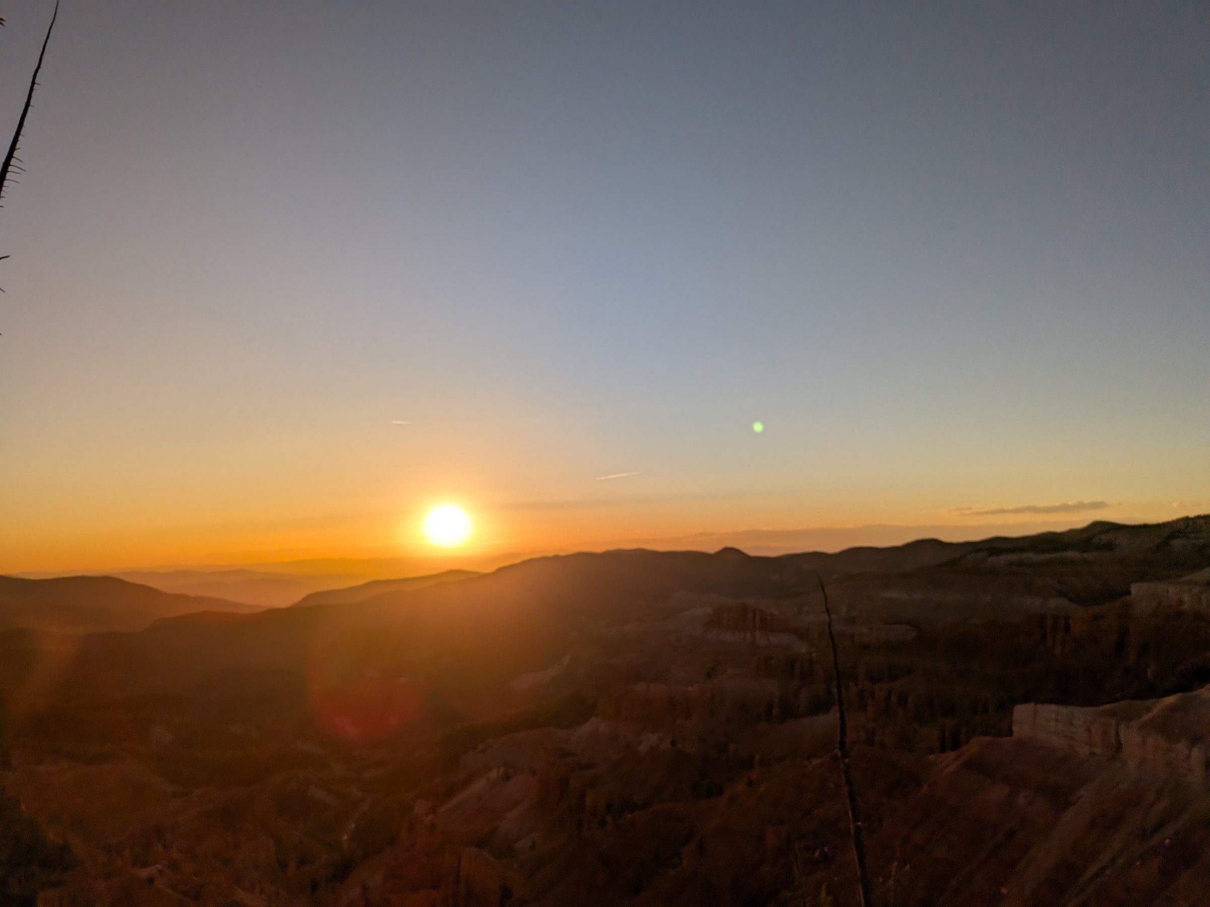
Consejo: Recórrelo por la tarde para llegar a Sunset View 30 minutos antes de la puesta de sol y vuelve durante el crepúsculo; lleva una linterna frontal para el último tramo.
The moderate one
More distance, more exposure, and a real climb back at altitude. This is the walk for hikers who want the full rim.
Spectra Point / Ramparts Trail
4 millas ida y vuelta 400 pies 2-3 horas
La ruta larga del borde en Cedar Breaks. Sigue el borde del anfiteatro hacia el sur, pasando por antiguos pinos bristlecone, hasta Spectra Point y Ramparts Overlook.
Consejo: Empieza temprano. El sendero es expuesto y las tormentas de la tarde son comunes en julio y agosto. Lleva mucha agua y protección solar.
El South Rim Trail, tramo a tramo
1
Point Supreme, 10,350 ft
Park at the visitor center. The trail leaves the rim walk south of the overlook and follows the edge through the first bristlecones within minutes.
2
The bristlecone rim
The oldest trees in the monument, more than 1,600 years, on the exposed white ground along the edge. Wind here on most days; the views open at every bend.
3
Spectra Point, mile 1
The park says the rock colors are strongest from here. Most people turn around, which makes this an easy hour. Look down: the endemic gilia grows in the gravel by the trail.
4
Ramparts Overlook, mile 2, 9,952 ft
The trail leaves the rim and drops about 400 feet through spruce and fir to a second promontory with the widest panorama on the trail. The climb back is the hard part.
5
The Bartizan, 9,725 ft
The trail continues to the southern boundary and a natural arch in the fins, another 275 feet down. Rarely walked; the park rates the full route moderate to hard. Turn around at Ramparts unless you have the afternoon and the water.
Exposed the whole way. In July and August be off the rim by early afternoon.
Inicios y puntos de sendero
The rim trail runs south-west from Point Supreme through Spectra Point and Ramparts to the Bartizan; the Alpine Pond loop sits east of the road between Chessmen Ridge and the pond; the Sunset Trail follows the rim between Point Supreme and Sunset View. Tap a pin for the note.
The drive from the inn
Highway 148 through the monument
Overlook
Trail point
Visitor center
Campground
Trail points are green, overlooks amber. The dashed line is Highway 148 through the monument.
Caminar a 10,000 pies
Every trailhead here is higher than any point in Bryce Canyon and 6,000 feet above Zion Canyon. The air at 10,350 feet holds about a third less oxygen than at sea level, which is why the first climb feels harder than it looks and why the park's own advice is to slow down, drink, and eat. Coming from the inn at 8,455 feet helps; coming from Las Vegas or St. George the same morning does not. Headache, nausea and unusual breathlessness are the signs to turn around and lose elevation, and the car is never more than two miles away.
The other altitude hazard is lightning. The rim trails are the most exposed ground on the plateau, and the park warns that storms are common and dangerous in the afternoons. Walk in the morning, watch the western sky, and treat a building cumulus as a schedule.
Combining trails with the overlooks
The best Cedar Breaks day pairs a trail with the overlooks. Start at Point Supreme for the visitor center and the first view, walk the rim trail to Spectra Point and back, drive north to Chessmen Ridge for the Alpine Pond loop, then finish at Sunset View and North View on the way out. That is a solid four hours and covers everything without hurrying.
If you want a shorter version, do Alpine Pond and the overlooks in a morning, about two and a half hours, and come back for sunset on the same pass. The Sunset Trail is the evening walk: time it so you reach Sunset View 45 minutes before the sun goes.
Tips from Duck Creek
Start after breakfast, not at dawn. Cedar Breaks does not need an alarm. The trails are never crowded and the lots have room all day; the one exception is Sunset View at sunset.
Altitude matters. Even if you hiked hard at Bryce yesterday, you are now 2,000 feet higher. Water, a slower pace, and permission to stop.
Afternoon storms. July and August bring thunderstorms over the plateau most afternoons. If clouds are building, head for the car; lightning on the exposed rim is the real hazard here.
Layer up. Mornings and evenings can be in the 40s at the rim even in July. A warm layer and a wind shell are the difference between a good walk and a short one.
Wildflowers peak in early to mid July. If you can time it, the meadows on the Alpine Pond loop are the best on the mountain. Our wildflower guide has the calendar.
No water in the park. As of this writing the monument has no potable water. Fill bottles at the inn.
Winter hiking
When Highway 148 closes, usually from mid November to mid or late May, Cedar Breaks belongs to snowshoes, skis and snowmobiles. The plowing stops at the Highway 14 junction, 3.5 miles from Point Supreme, and the marked snowmobile route follows the closed road between orange poles; travel off it is prohibited to protect the meadows. The National Park Service leads guided snowshoe walks on select winter weekends. It is a different monument, white and silent and empty, and a worthwhile day from the inn if you have the gear and the weather. Our winter guide covers rentals and the rest of the mountain.
Stay planning
A hiking morning at Cedar Breaks pairs naturally with a bigger park day at Bryce Canyon or Zion later in the week. For lower, shadier trails on the way back down the mountain, see hiking near Duck Creek: Cascade Falls, the Navajo Lake loop and the Virgin River Rim Trail all start within 20 minutes of the village. Use Plan Your Days to build the itinerary and compare our rooms and cabins; Cedar Breaks is close enough that you are back for lunch.
Reviewed September 2026
Why trust this guide
We hike these trails from the inn every summer. Distances, elevations and trail points follow the National Park Service and its places data (Spectra Point, Ramparts at 9,952 ft, the Bartizan at 9,725 ft); the bristlecone ages and the pet and water rules are the park's. Snow and mud linger on the dirt trails into June, so check the NPS conditions page before you go.
The Alpine Pond Trail is the best all-round walk: a 2-mile loop from Chessmen Ridge Overlook through wildflower meadows and bristlecone pines to a spring-fed pond. For the rim, the South Rim Trail from Point Supreme reaches Spectra Point in a mile and Ramparts Overlook in two, through the oldest bristlecones in the monument.
How many trails are there at Cedar Breaks?
Four: the Alpine Pond loop (2 miles), the South Rim Trail to Spectra Point and Ramparts (2 to 4 miles round trip, further to the Bartizan), the paved Sunset Trail between Point Supreme and Sunset View (2 miles round trip), and the half-mile accessible Campground Trail. About seven miles in all.
Are Cedar Breaks trails kid-friendly?
Yes. The Alpine Pond loop and the Campground Trail are manageable for school-age kids, and the Sunset Trail is paved. The 10,000-foot elevation is the thing to plan for; children tire faster than at home. Bring snacks, water and a warm layer.
Can you hike below the rim at Cedar Breaks?
No. Unlike Bryce Canyon there are no maintained trails into the amphitheater. Every trail stays on the rim or in the meadows and forest behind it, which keeps the walks short and the views arriving from the edges.
Are dogs allowed on Cedar Breaks trails?
Only on the paved Sunset Trail, on leash, plus parking lots and other paved areas. Dogs are not permitted on the Alpine Pond, South Rim or Campground trails.
When are the trails at Cedar Breaks open?
Whenever Highway 148 is: mid to late May to mid November in a typical year, May 15 in 2026. Early in the season lingering snow and mud affect the shaded sections of the Alpine Pond loop and the forest stretch of the South Rim Trail. Check the NPS conditions page before you go.
How hard is the Spectra Point trail?
To Spectra Point it is an easy mile along the rim with little elevation change; the park rates the full South Rim Trail moderate to hard because the continuation to Ramparts drops 400 feet that you regain on the way back at 10,000 feet. Start in the morning to avoid afternoon lightning on the exposed sections.