Alpine Pond Trail
2 英里环线 250 英尺 45-90 分钟
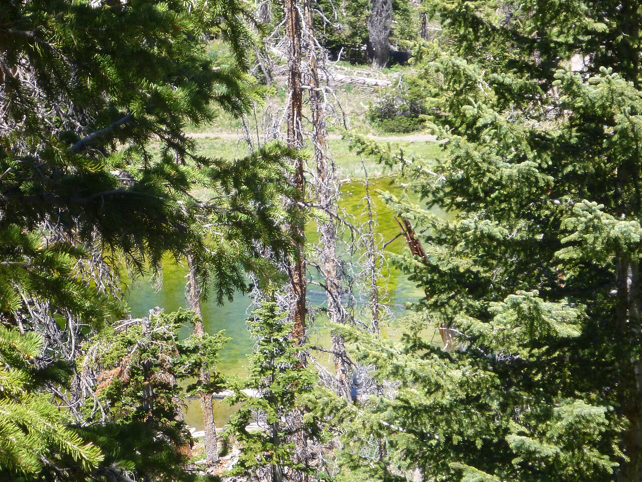
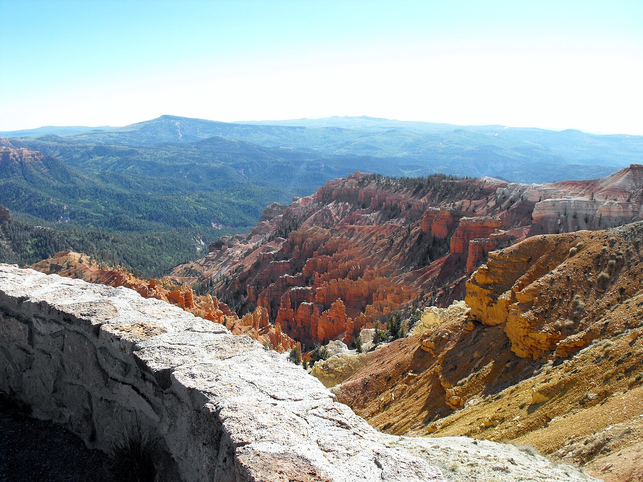
Cedar Breaks 最具代表性的徒步,也是大多数游客最该优先走的一条。它是一条温和环线,穿过野花草甸和 bristlecone 松林,最终到达一处海拔超过 10,000 英尺的宁静亚高山池塘。
提示: 野花盛放通常在 7 月中旬到 8 月初。记得带一层保暖衣物 - 10,000 英尺的风即使在晴朗下午也会突然变冷。
Duck Creek 指南
公园里的所有路线 - 野花草甸、bristlecone pine,以及 10,000 英尺的山脊视野
Cedar Breaks 的步道系统很小 - 只有两条主线和一条短连接线 - 但质量很高。
所有步道都从 10,000 英尺以上开始。
| Trail | Start | Distance | Climb | Time | Surface | Dogs | Best for |
|---|---|---|---|---|---|---|---|
| Alpine Pond loop | Chessmen Ridge Overlook, 10,461 ft | 2 mi loop (1 mi short loop) | 250 ft | 45 to 90 min | Dirt | No | Wildflowers, the pond, one rim view |
| South Rim Trail to Spectra Point | Point Supreme, 10,350 ft | 2 mi round trip | Under 100 ft | 1 hr | Dirt, exposed | No | Oldest bristlecones, strongest rock color |
| South Rim Trail to Ramparts | Point Supreme, 10,350 ft | 4 mi round trip | 400 ft down and back up | 2 to 3 hrs | Dirt, exposed | No | The widest view; quiet |
| Sunset Trail | Point Supreme or Sunset View | 2 mi round trip | About 100 ft | 45 to 60 min | Paved, accessible | Yes, leashed | Sunset; the only dog-friendly trail |
| Campground Trail | Point Supreme Campground | 0.5 mi | Nearly flat | 15 to 25 min | Level, accessible | No | Meadow flowers with a stroller |
Distances and elevations from the National Park Service. All trailheads are on Highway 148 with paved parking; the entrance fee is $25 per vehicle for seven days.
For families, first visits, and anyone who wants the scenery without the effort.
Cedar Breaks 最具代表性的徒步,也是大多数游客最该优先走的一条。它是一条温和环线,穿过野花草甸和 bristlecone 松林,最终到达一处海拔超过 10,000 英尺的宁静亚高山池塘。
提示: 野花盛放通常在 7 月中旬到 8 月初。记得带一层保暖衣物 - 10,000 英尺的风即使在晴朗下午也会突然变冷。
连接 Point Supreme Campground 和游客中心区域的一条短连接步道。地势平缓、有树荫,很适合活动一下腿脚。
提示: 很适合作为去 Alpine Pond 或各观景点之前的热身路线。孩子和在铺装区域牵绳的狗都比较容易应对。
一条沿崖边铺设、轮椅可通行的步道,连接 Point Supreme 和 Sunset View 观景点,中途经过野餐区。坡度平缓、设有休息点,全程都能看到圆形峡谷景观。这也是全区唯一允许牵绳宠物的步道。
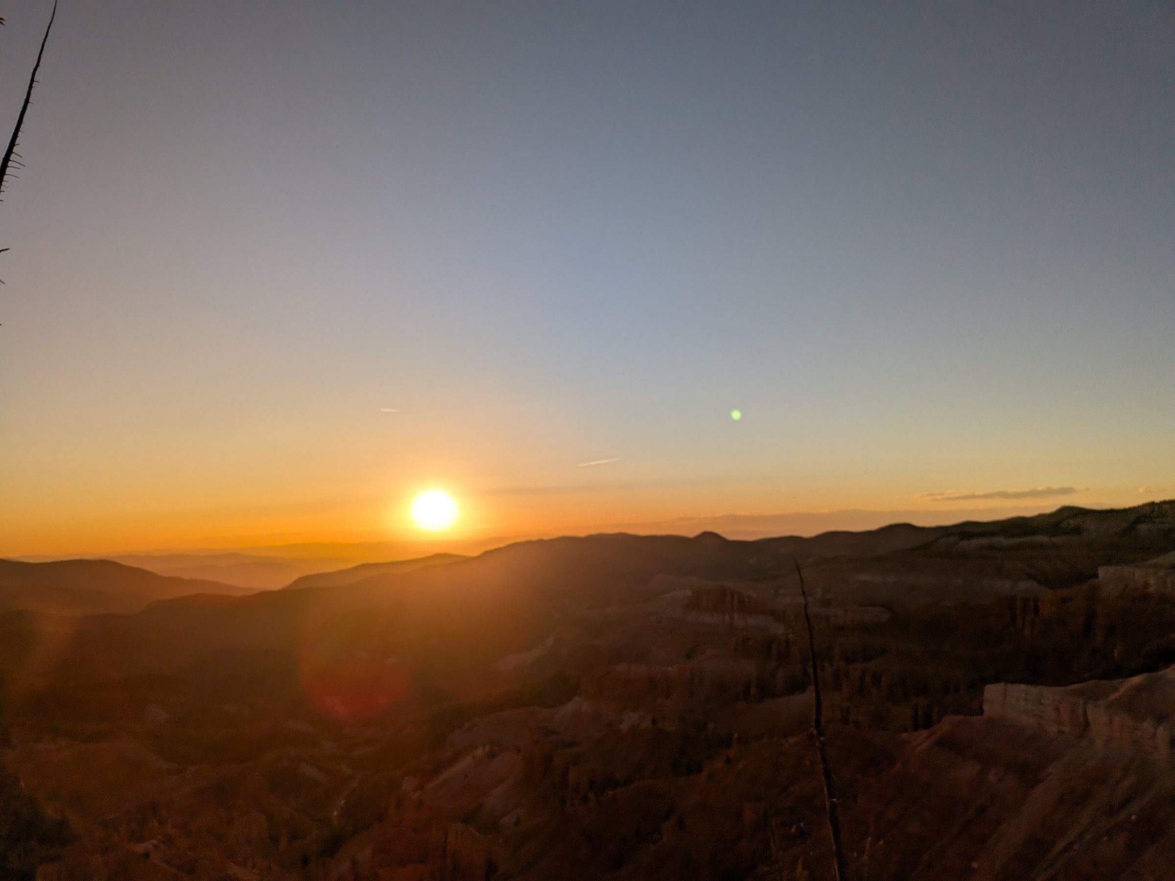
提示: 建议傍晚走这条路:在日落前 30 分钟到达 Sunset View,然后趁暮色返回——最后一段请带头灯。
More distance, more exposure, and a real climb back at altitude. This is the walk for hikers who want the full rim.
Cedar Breaks 较长的一条山脊步道。它沿 amphitheater 边缘向南延伸,经过古老的 bristlecone 松,一直到 Spectra Point 和 Ramparts Overlook。
提示: 尽早出发。这条路暴露在阳光下,7 月和 8 月的午后雷暴很常见。带足水和防晒用品。
Park at the visitor center. The trail leaves the rim walk south of the overlook and follows the edge through the first bristlecones within minutes.
The oldest trees in the monument, more than 1,600 years, on the exposed white ground along the edge. Wind here on most days; the views open at every bend.
The park says the rock colors are strongest from here. Most people turn around, which makes this an easy hour. Look down: the endemic gilia grows in the gravel by the trail.
The trail leaves the rim and drops about 400 feet through spruce and fir to a second promontory with the widest panorama on the trail. The climb back is the hard part.
The trail continues to the southern boundary and a natural arch in the fins, another 275 feet down. Rarely walked; the park rates the full route moderate to hard. Turn around at Ramparts unless you have the afternoon and the water.
Exposed the whole way. In July and August be off the rim by early afternoon.
The rim trail runs south-west from Point Supreme through Spectra Point and Ramparts to the Bartizan; the Alpine Pond loop sits east of the road between Chessmen Ridge and the pond; the Sunset Trail follows the rim between Point Supreme and Sunset View. Tap a pin for the note.
Trail points are green, overlooks amber. The dashed line is Highway 148 through the monument.
Every trailhead here is higher than any point in Bryce Canyon and 6,000 feet above Zion Canyon. The air at 10,350 feet holds about a third less oxygen than at sea level, which is why the first climb feels harder than it looks and why the park's own advice is to slow down, drink, and eat. Coming from the inn at 8,455 feet helps; coming from Las Vegas or St. George the same morning does not. Headache, nausea and unusual breathlessness are the signs to turn around and lose elevation, and the car is never more than two miles away.
The other altitude hazard is lightning. The rim trails are the most exposed ground on the plateau, and the park warns that storms are common and dangerous in the afternoons. Walk in the morning, watch the western sky, and treat a building cumulus as a schedule.
The best Cedar Breaks day pairs a trail with the overlooks. Start at Point Supreme for the visitor center and the first view, walk the rim trail to Spectra Point and back, drive north to Chessmen Ridge for the Alpine Pond loop, then finish at Sunset View and North View on the way out. That is a solid four hours and covers everything without hurrying.
If you want a shorter version, do Alpine Pond and the overlooks in a morning, about two and a half hours, and come back for sunset on the same pass. The Sunset Trail is the evening walk: time it so you reach Sunset View 45 minutes before the sun goes.
When Highway 148 closes, usually from mid November to mid or late May, Cedar Breaks belongs to snowshoes, skis and snowmobiles. The plowing stops at the Highway 14 junction, 3.5 miles from Point Supreme, and the marked snowmobile route follows the closed road between orange poles; travel off it is prohibited to protect the meadows. The National Park Service leads guided snowshoe walks on select winter weekends. It is a different monument, white and silent and empty, and a worthwhile day from the inn if you have the gear and the weather. Our winter guide covers rentals and the rest of the mountain.
A hiking morning at Cedar Breaks pairs naturally with a bigger park day at Bryce Canyon or Zion later in the week. For lower, shadier trails on the way back down the mountain, see hiking near Duck Creek: Cascade Falls, the Navajo Lake loop and the Virgin River Rim Trail all start within 20 minutes of the village. Use Plan Your Days to build the itinerary and compare our rooms and cabins; Cedar Breaks is close enough that you are back for lunch.
Reviewed September 2026
我们从住在 Duck Creek Village Inn 的客人视角来写这些徒步建议。
行程规划者最常问的问题。
Alpine Pond Trail 是整体最好的选择。
适合。
不可以。
不允许。
通常在 5 月下旬到 10 月中旬开放。
The rest of the Cedar Breaks guide.
Turn a hike into a full day.
Rooms for an easy start, cabins for a slower week.