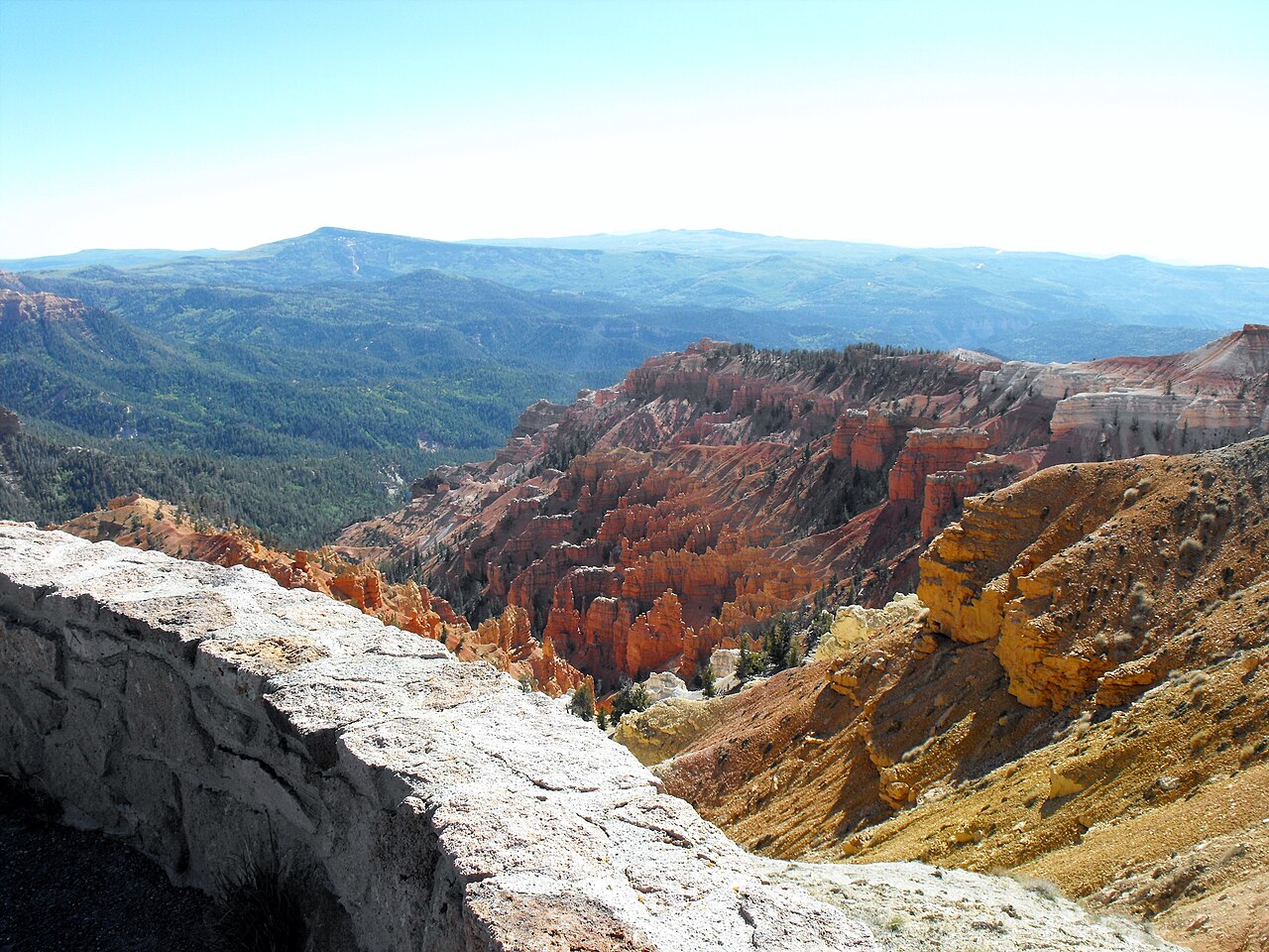
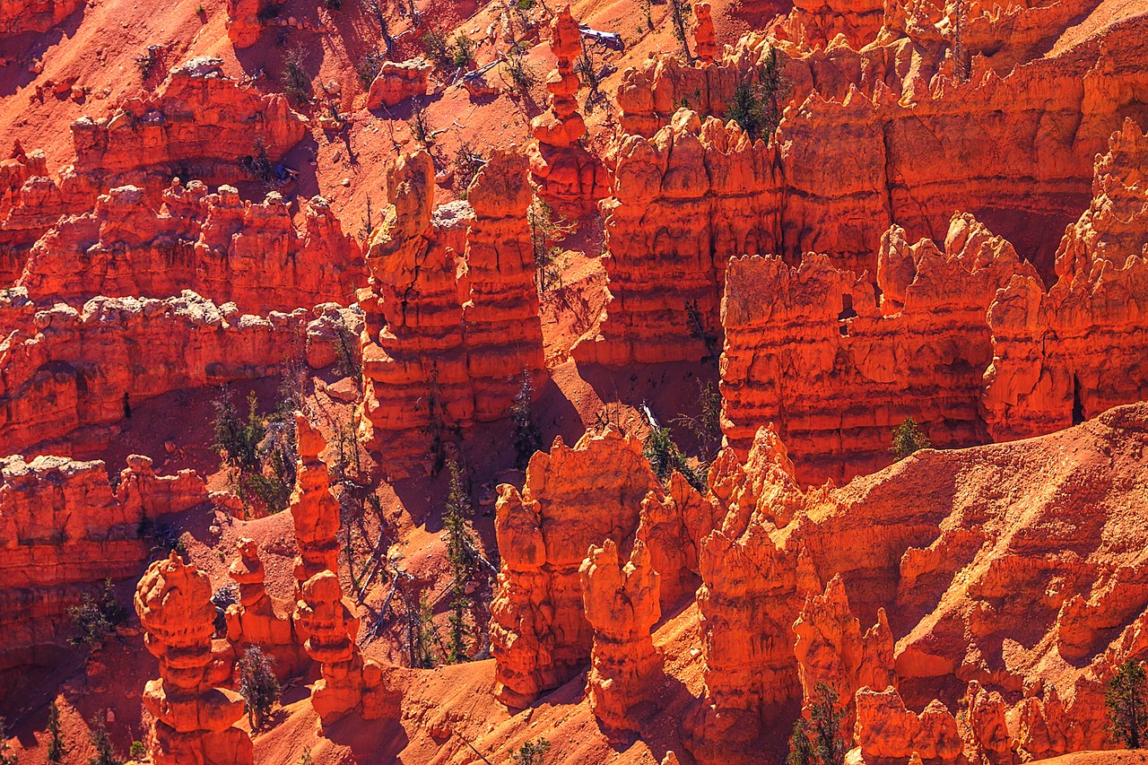
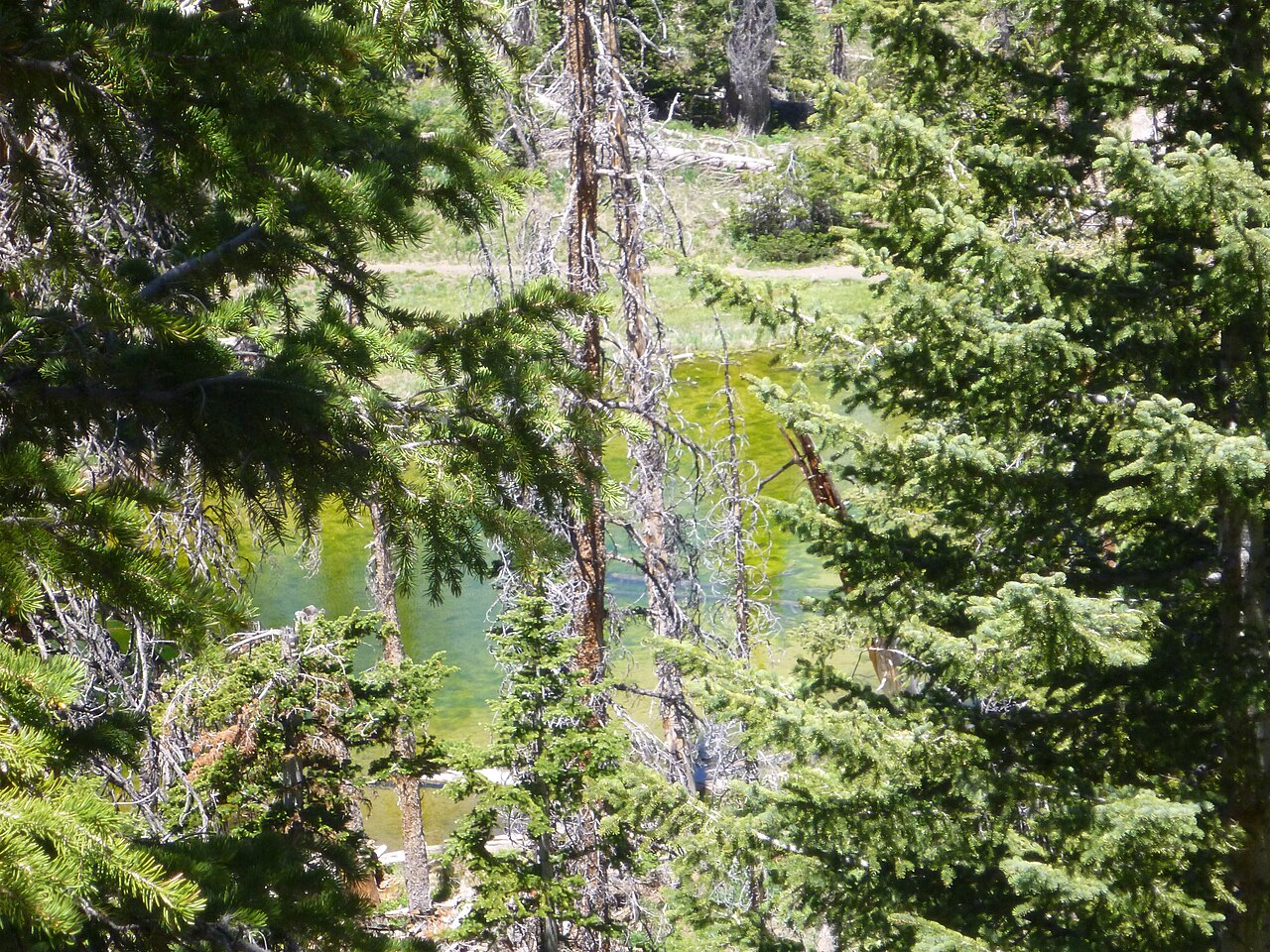
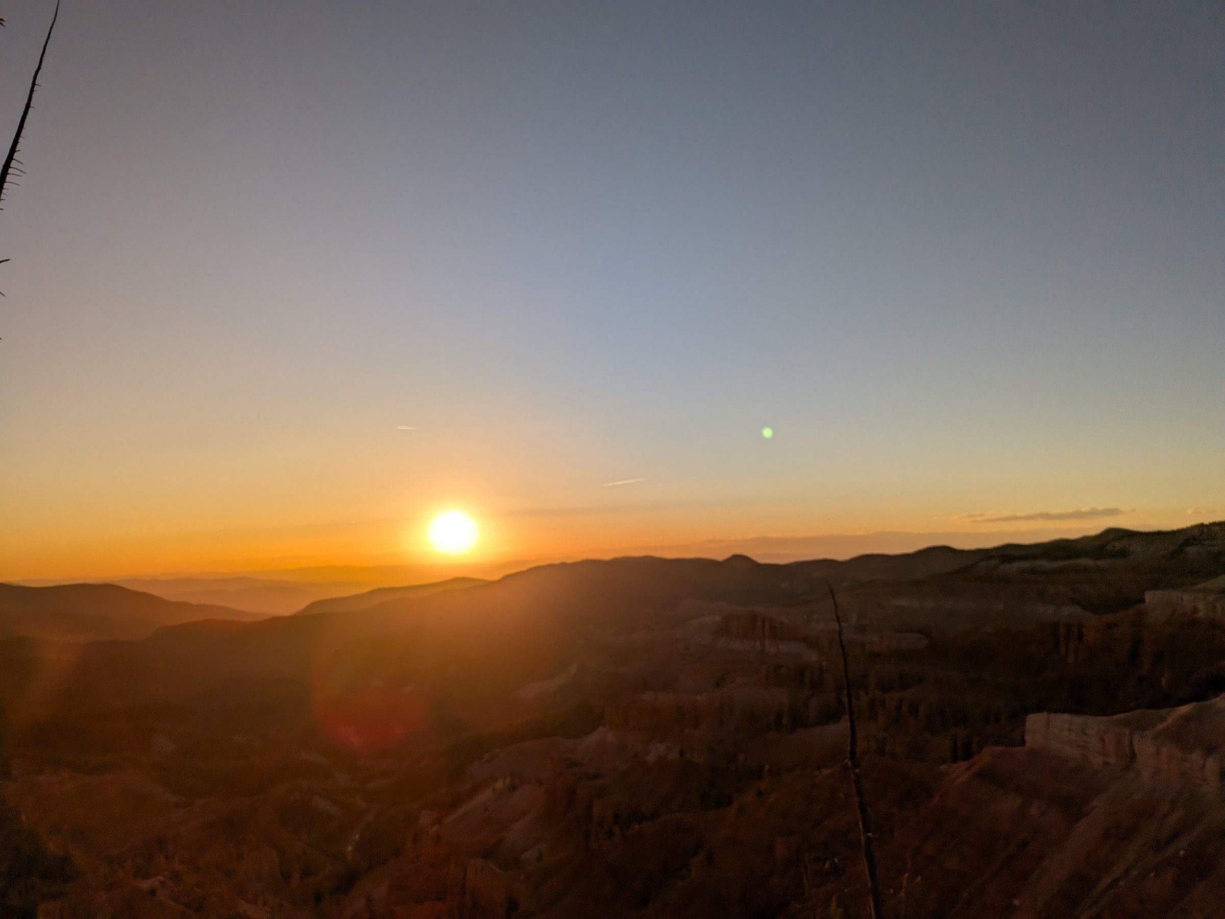
Four along 4.6 miles of Highway 148, paved parking at each
Visitor center
New in 2024 at Point Supreme. 9 a.m. to 5 p.m. daily, late May to mid October. Cards only
Time
An hour for the four overlooks; half a day with the visitor center and the Alpine Pond loop
Fee
$25 per vehicle, 7 days; $20 motorcycle; $15 on foot or bike; passes accepted
Campground
25 sites at Point Supreme, $30, reservation only, June 19 to September 18
Dogs
Overlook rails, lots and the paved Sunset Trail only
The four overlooks
Point Supreme
Mile 0 · 10,350 ft
The original overlook, in use since the monument was created in 1933, and the one to start at. It sits beside the visitor center on a paved walk with benches, a railing and the geology signs, and it looks straight down the amphitheater. Restrooms, the park store and the 1937 cabin museum are steps away, and the Night Sky Tours meet here. The largest lot in the monument.
Sunset View
Mile 1 · 10,300 ft
A mile north, a small roadside lot on the western rim with an open horizon: the sunset overlook, named for the reason you would expect. The amphitheater faces west, so the evening light works the rock over for an hour before the sun reaches the ridge. The lot fills on summer weekends; be parked 45 minutes early. Our sunset and stargazing guide has sunset times for every part of the season.
Chessmen Ridge Overlook
Mile 2.5 · 10,461 ft
The highest overlook at 10,461 feet, 2.5 miles north of the visitor center, with a large lot. It looks down on the Chessmen, the row of formations the ridge is named for. The lot is also the Alpine Pond trailhead, and a short spur leads to a bristlecone grove on the rim, so it is the easiest place to pair a view with a walk. Vault toilets.
North View
Mile 4.6 · 10,435 ft
The northernmost overlook, just inside the entrance from Highway 143 at about 10,435 feet, with the widest sweep of the amphitheater and a look north toward Brian Head Peak. It is the least visited of the four and the one you will most often have to yourself, which makes it the stargazers' choice on nights without a program.
地图上的观景点
The four overlooks, the visitor center, the campground and the trail points, at their National Park Service coordinates. Tap a pin for the note and the page that covers it.
由南向北的行程
1
Visitor center and Point Supreme, mile 0
Entrance station, rangers, restrooms, the park store and the 1937 cabin. The overlook is a level paved walk from the door. Start here.
2
Sunset View, mile 1
Small lot on the right. The evening overlook; in daylight a five-minute stop with the amphitheater at your feet.
3
Chessmen Ridge Overlook, mile 2.5, 10,461 ft
Big lot, vault toilets, the highest point on the road. The Chessmen below, the Alpine Pond trailhead behind you, the bristlecone spur to the left.
4
North View, mile 4.6
The widest view and the emptiest lot, just before the Highway 143 entrance. Turn around here, or continue to Brian Head and loop home through Cedar City.
About 10 minutes of driving between the ends; an hour with the stops.
The drive from the inn
Highway 148 through the monument
Overlook
Trail point
Visitor center
Campground
The dashed line is Highway 148 through the monument, 4.6 miles from the visitor center to North View.
The visitor center
Cedar Breaks opened a new Visitor Contact Station at Point Supreme on August 22, 2024, built with the National Park Service Centennial Challenge program, the Zion Forever Project and Iron County. It is where you talk to a ranger, pay the entrance fee (cards only; the monument is cashless), pick up a Junior Ranger booklet, buy a pass, and browse the Zion Forever park store. In 2026 it opened May 22 and runs 9 a.m. to 5 p.m. daily through mid October; ranger programs began June 1. Check the NPS basic information page for current hours.
Up the path from the new building is the old one: a one-room log cabin built in 1937 that served as the information center for decades. It now holds a self-guided exhibit on the human history of the plateau, from the Southern Paiute through the sheep ranchers and the Civilian Conservation Corps. It takes ten minutes and it is the best-kept secret at Point Supreme.
The visitor center area also has flush restrooms, a water bottle filling station (out of service while the monument's water is down; check the alert strip above), picnic tables and the Point Supreme picnic pavilion. It is the most developed corner of the monument and the right place to start.
Point Supreme 营地
The monument's only campground sits in the meadow across the road from Point Supreme, at 10,000 feet: 25 sites for tents and RVs, seven of them tent-only, $30 a night (half with a Senior or Access pass), and every site by reservation at recreation.gov. In 2026 it opens June 19 and closes September 18, later and earlier than the Forest Service campgrounds down the mountain because of the snow. The park calls it a comfortable place to camp in the hotter months, which is true; it also calls the wildflowers around it a feature, which is truer. No hookups, and the showers are offline with the monument's water system as of September 2026.
If you would rather have a roof at 8,455 feet and drive up for the stars, that is what we are for; our camping comparison covers the three parks' campgrounds side by side, and the area camping guide has the Forest Service options on the way up.
How much time you have
30 minutes: Point Supreme. Visitor center, the overlook, the cabin museum if you are quick. You will have stood at the rim.
1 to 2 hours: add Sunset View and North View, 10 to 15 minutes at each, and drive out the north entrance toward Brian Head or back the way you came. Three angles on the amphitheater and the whole road.
Half a day: all four overlooks, the Alpine Pond loop from Chessmen Ridge, and the visitor center. The full Cedar Breaks, and still back at the inn by early afternoon.
For sunset: skip Point Supreme on the way in, drive straight to Sunset View, and be parked 45 minutes before the time on our sunset page. Point Supreme is where the telescopes are afterwards.
Tips from Duck Creek
Start at Point Supreme. Orient yourself at the visitor center, see the main overlook, then work north. The rangers know the bloom, the storm forecast and tonight's program.
Bring a warm layer to every overlook. The rim is windy and exposed. On a 75°F day at the inn the overlooks can feel 20 degrees cooler.
Wide lens. The amphitheater is three miles across. A phone works for people shots; a wide lens captures the scale.
Pair Chessmen Ridge with the loop. The overlooks alone take under an hour. Adding the Alpine Pond loop from the same lot makes a full morning without hurrying.
Leave from the north in the afternoon. Exit onto Highway 143 toward Brian Head and drop down Parowan Canyon; it makes a loop back to the inn through Cedar City, about 90 minutes, with the Brian Head summit road as a detour.
Stay planning
An overlook lap pairs naturally with a Navajo Lake afternoon or a slower village day; use Plan Your Days for itinerary ideas. Compare our rooms and cabins. Cedar Breaks is close enough to visit twice in a stay, once for the overlooks and once for the sunset.