最佳徒步
按难度整理的 Cedar Breaks 步道,从轻松草甸步道到有 bristlecone 松的山脊路线
查看指南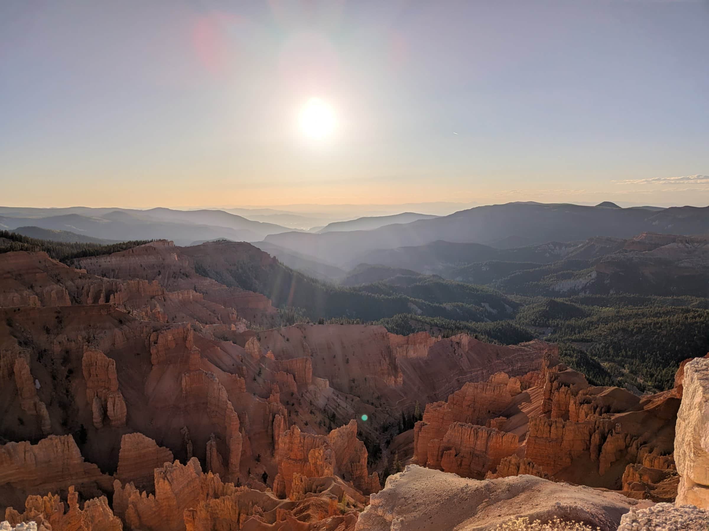
Duck Creek 指南
距离 Duck Creek Village Inn 约 20 分钟 - 壮观地质、日落视野和 10,000 英尺的暗夜天空
速览
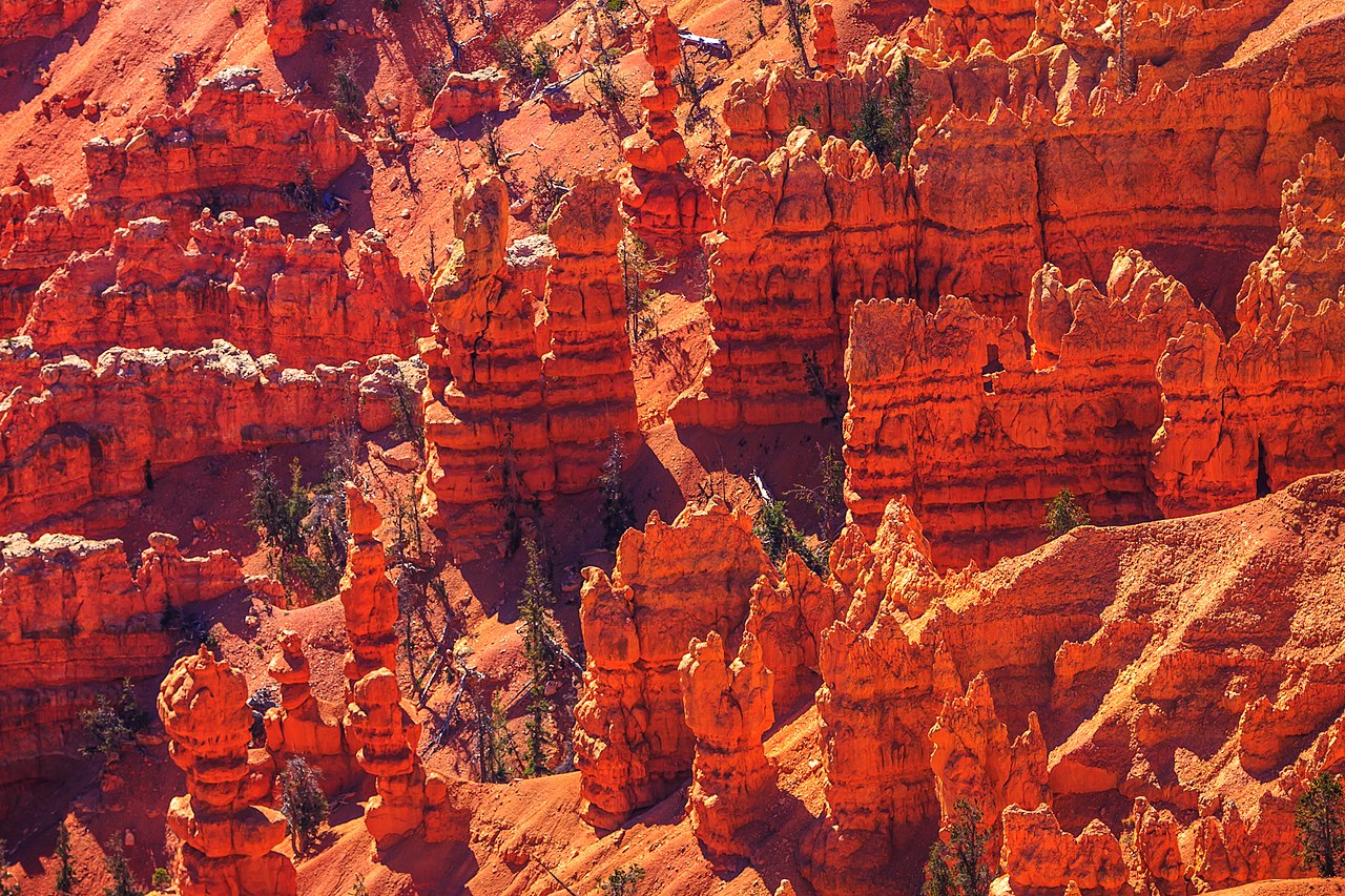
Cedar Breaks National Monument 距 Duck Creek Village 约 20 分钟,位于 Markagunt Plateau 的西缘。海拔超过 10,000 英尺,这里像 Grand Staircase 的皇冠,半英里深的圆形剧场里布满 hoodoos、岩脊和尖塔。
Cedar Breaks 是个适合慢慢走的地方。你可以在观景点停一会儿、走 Alpine Pond Trail、看日落把圆形剧场染成金色,或者在天黑后回来观星。
One page for each part of the visit, so you can plan around what you care about.
按难度整理的 Cedar Breaks 步道,从轻松草甸步道到有 bristlecone 松的山脊路线
查看指南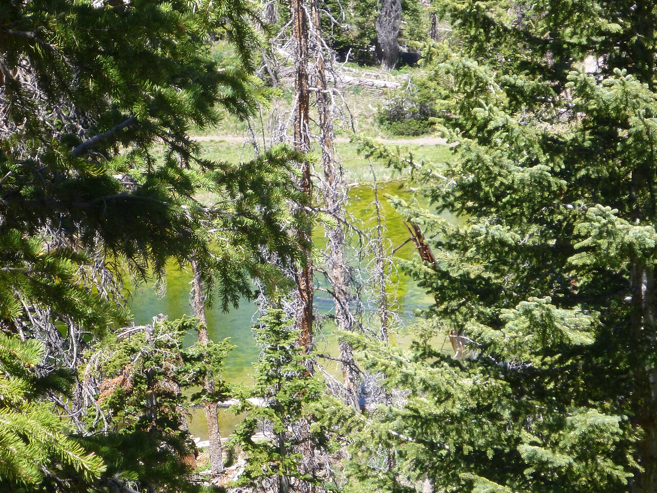
Cedar Breaks 的代表性徒步 - 野花草甸、亚高山池塘和 bristlecone 松,全程轻松两英里
查看指南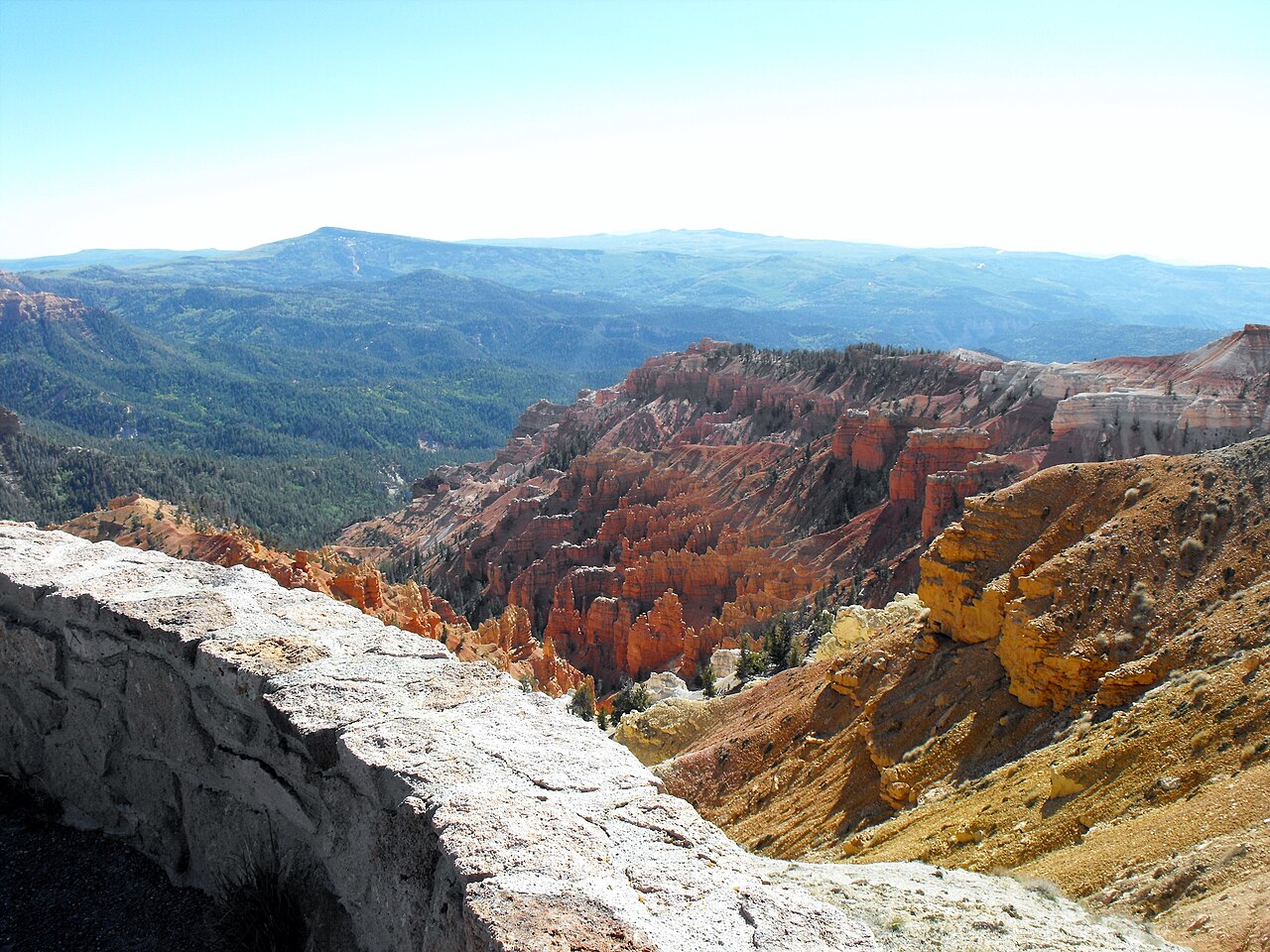
Point Supreme、Sunset View、North View 和 Chessmen Ridge - 各观景点及游客中心看点
查看指南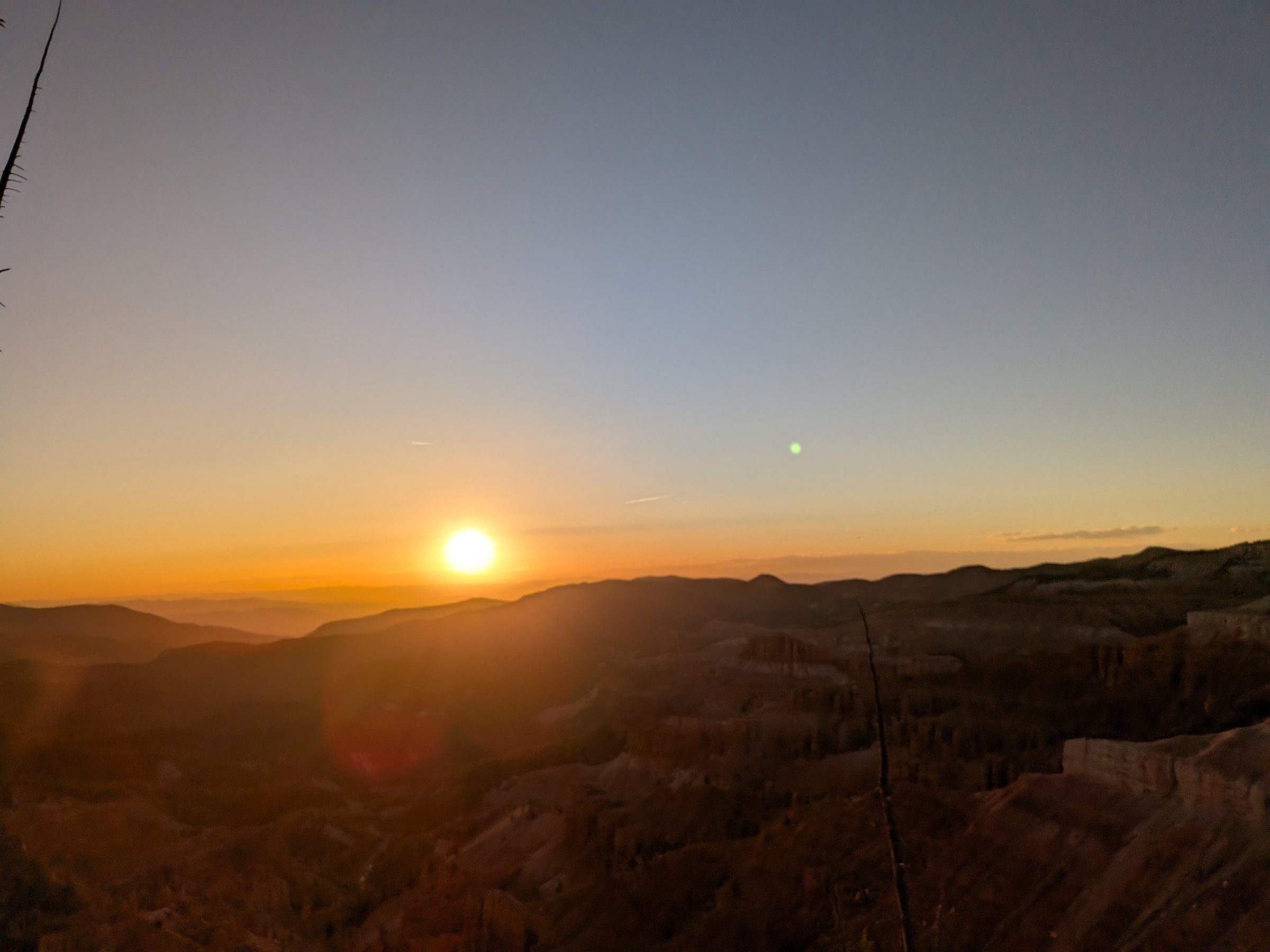
南犹他最好的日落地点之一,也是国际暗夜公园 - 如何规划 Cedar Breaks 的夜晚
查看指南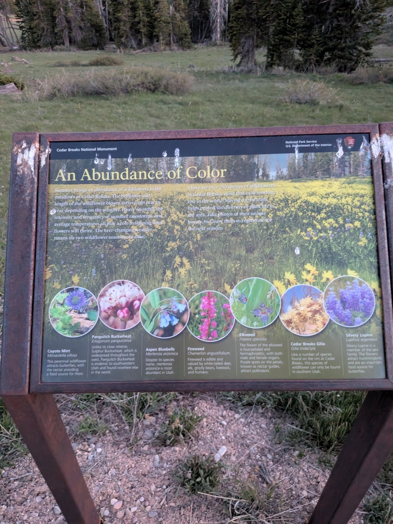
海拔 10,000 英尺、250 多种野花:花期日历、插画野花图鉴、两种特有物种,以及 7 月的野花节
查看指南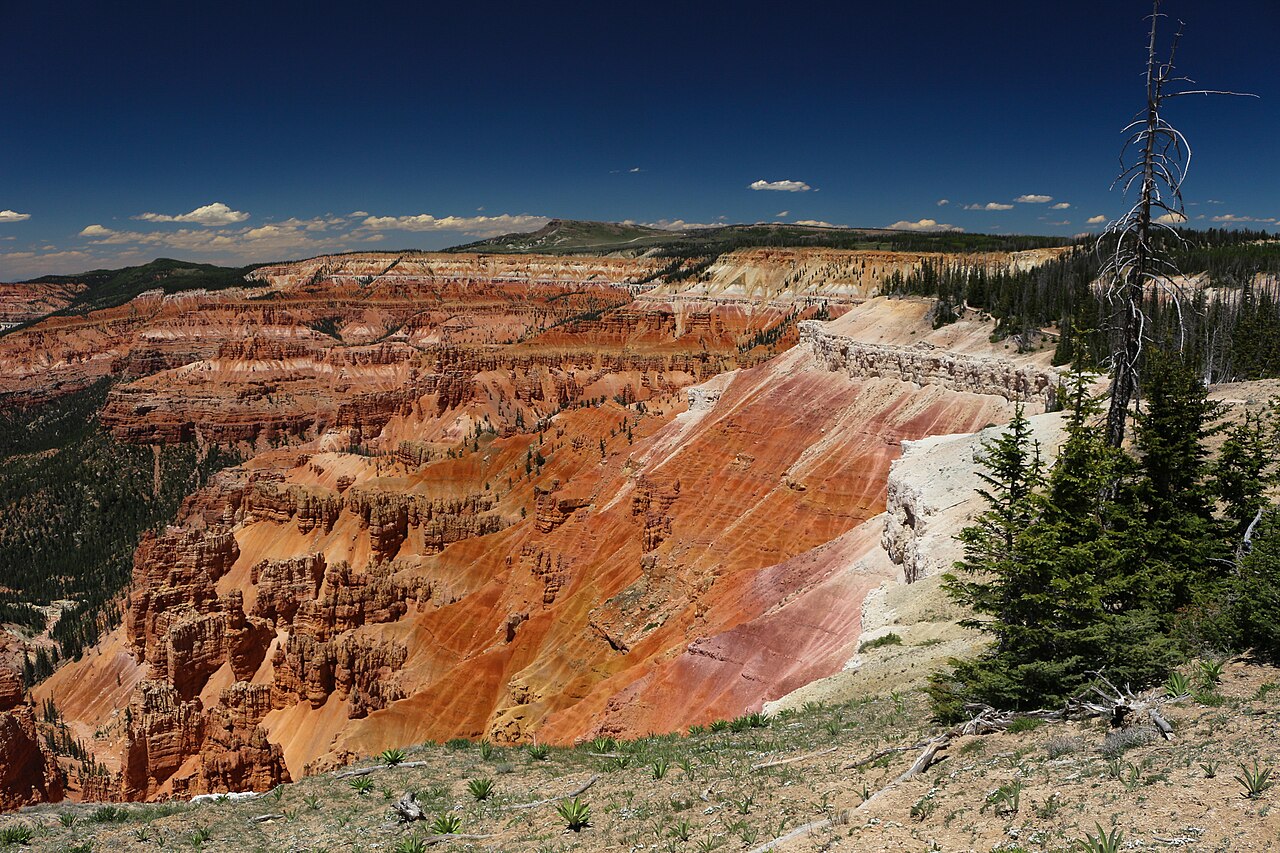
公路开放了吗?实时警报、开放时间和暗夜星空活动 —— 直接来自 National Park Service
查看指南Leave the inn heading west on Highway 14. The road climbs steadily through spruce and aspen, passes the Navajo Lake overlook at mile 8 (worth the pullout), and reaches the Highway 148 junction at mile 12, just under 9,900 feet. Turn right. Highway 148 climbs the last 500 feet through open meadows to the entrance station and the Point Supreme visitor center at mile 15.5. Call it 15.5 miles and 25 minutes; the overlooks continue another 4.6 miles north to the Highway 143 entrance and Brian Head.
In winter the plowing stops at the junction. The lot there is the trailhead for the snowmobile route along the closed highway and for skis and snowshoes, 3.5 miles from Point Supreme. Check Highway 14 road conditions before any shoulder-season trip; our conditions page has the live NPS road status.
The real route from the inn, traced from road geometry: Highway 14 west (solid green) and Highway 148 north through the monument (dashed). Tap any pin for its note and the page that covers it.
Depth, width, erosion rate and the bristlecone ages are from the National Park Service; the plant count is the NPS Northern Colorado Plateau Network inventory; establishment, acreage and visitation (688,644 in 2022) from NPS records. The colors are iron oxides rusting the limestone of an ancient lake bed, 50 to 60 million years old, that the Hurricane Fault has been lifting for the last 10 million years.
Most visitors to southern Utah drive past Cedar Breaks on the way to Bryce or Zion and never stop, which is their loss and your gain. From the inn it is the closest of the three parks, there is no shuttle, the lots are manageable on all but the busiest summer evenings, and a $25 pass is good for a week of return trips.
It also fills a different role. Cedar Breaks is the half day you take when you do not want another full-park commitment: up after breakfast, the Alpine Pond loop, a lap of the overlooks, and back at the inn for lunch. Or it is the evening: sunset at Sunset View and a Night Sky Tour at Point Supreme, then a 25-minute drive to a warm bed. Nobody else in the region has that combination.
The elevation helps too. The inn sits at 8,455 feet, so the 1,900-foot climb to the rim is gentle compared with the jump from St. George or Las Vegas, and you are already half acclimated when you step out of the car. The rim is still 10 to 20 degrees cooler than the parks around it, and windier, so the jacket you did not need at the inn comes along anyway.
Three photos from one evening on the rim, 1 June 2026, with the camera's clock on each. The amphitheater faces west, so the light works differently from Bryce: the rock glows an hour before sunset and goes dark as the sun reaches the ridge, and then the sky takes over.
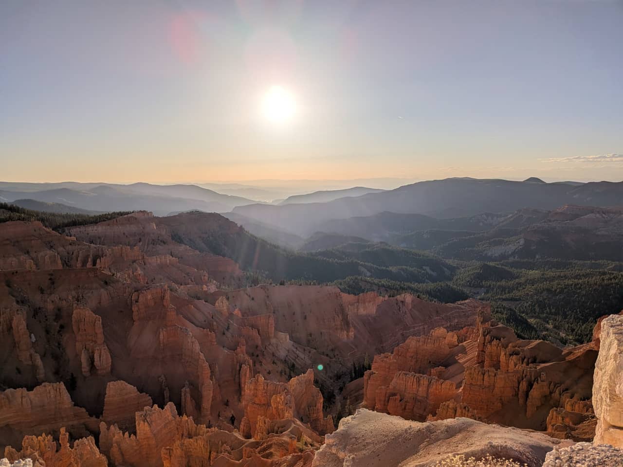
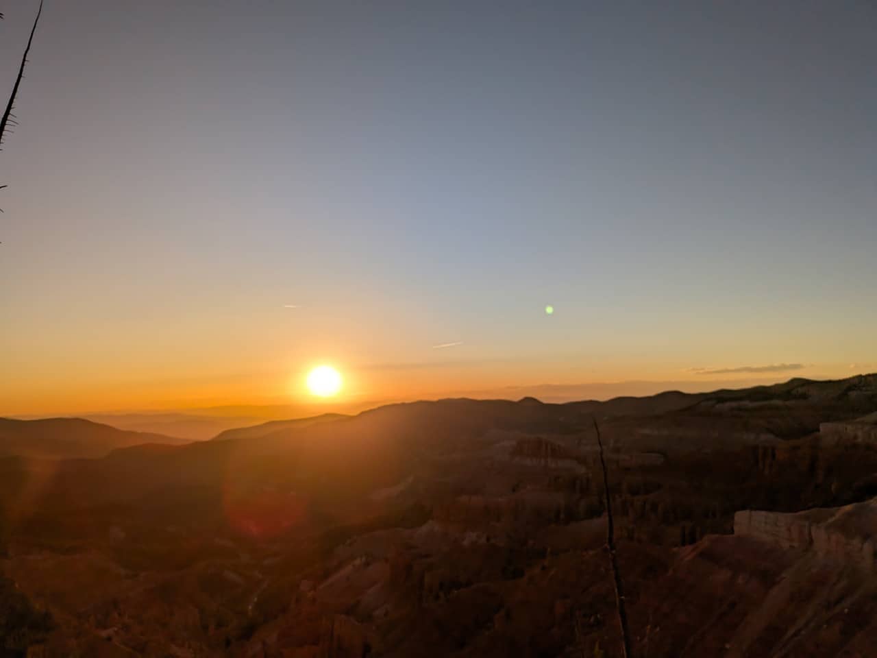
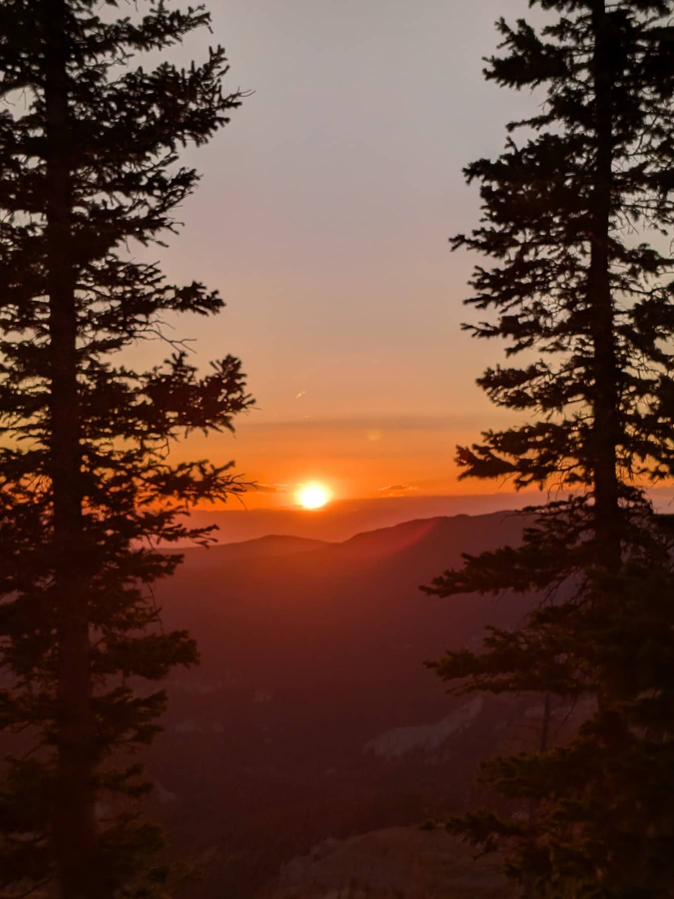
Our photos, Sunset View and the rim near Point Supreme, 1 June 2026. Camera clock times, Mountain Daylight Time.
Over 250 species bloom on the rim between late May and September, and two of them, Cedar Breaks gilia and Panguitch buckwheat, grow nowhere else. The meadows turn blue with lupine and flax in late June, peak in the first half of July when the park holds its Wildflower Festival (July 3 to 11 in 2026), and go gold with sunflowers in August. Our wildflower guide has a week-by-week bloom calendar and an illustrated field guide to twenty flowers.
The rim is 1,900 feet above the inn and nearly 4,500 feet above Cedar City, and it shows. The park says summer highs run 60 to 70°F with nights in the 30s and 40s, and that snow, sleet and hail can fall in any month. The table is an estimate for 10,350 feet from NOAA 1991 to 2020 normals at the Brian Head station (9,770 ft), adjusted 2°F for the extra elevation. A planning guide, not a forecast; the weather page has the current outlook.
Estimated typical highs and lows at Point Supreme, °F
| Month | Jan | Feb | Mar | Apr | May | Jun | Jul | Aug | Sep | Oct | Nov | Dec |
|---|---|---|---|---|---|---|---|---|---|---|---|---|
| High | 28° | 30° | 37° | 42° | 53° | 65° | 69° | 67° | 59° | 46° | 36° | 26° |
| Low | 8° | 10° | 15° | 16° | 25° | 34° | 40° | 41° | 33° | 22° | 15° | 8° |
July averages about 69° by day and 40° at night; September 59° and 33°. Greyed months are inside the usual road closure. Afternoon thunderstorms build over the plateau most days from mid July into early September, and the rim is the most exposed ground in the monument, so do the walks in the morning and be near the car by early afternoon.
Summer (June to August) is the season. The road is open, the visitor center is staffed, ranger programs start June 1, the wildflowers peak in early to mid July, and the Night Sky Tours run every Friday and Saturday. Afternoon thunderstorms build most days from mid July; do the exposed walks in the morning.
Early fall (September to mid October) brings thin crowds, cold clear nights for stargazing, and the aspen turning below the rim in the last ten days of September. The campground closes September 18 and the visitor center in mid October, but the road usually stays open until the first sustained snow, typically mid November.
Late spring (mid May to mid June) is when the road opens, May 15 in 2026. Snow lingers in the shade, the trails are muddy, and the first flowers are just showing. Quiet, and the amphitheater with snow on the fins is worth the drive.
Winter is non-motorized or snowmobile only. The plowing stops at the Highway 14 lot, 3.5 miles from Point Supreme, and the marked snowmobile route follows the closed highway. The NPS runs guided snowshoe walks on select weekends; check the park calendar and our winter guide.
Cedar Breaks is the easiest outing to build a stay around. Use Plan Your Days to pair a Cedar Breaks morning or evening with a Navajo Lake afternoon, or our Cedar Breaks and Navajo Lake itinerary to do both in one day. Compare rooms and cabins, and remember that Bryce Canyon and Zion are each about an hour away, so a three-park week works from this base. The stay near Cedar Breaks page compares the options.
Reviewed September 2026
我们从住在 Duck Creek Village Inn 的客人视角来写这些 Cedar Breaks 指南。
行程规划者接下来最常问的问题。
Alpine Pond Trail 是最全面的选择。
适合。
不可以。
不允许。
通常从 5 月下旬到 10 月中旬。