
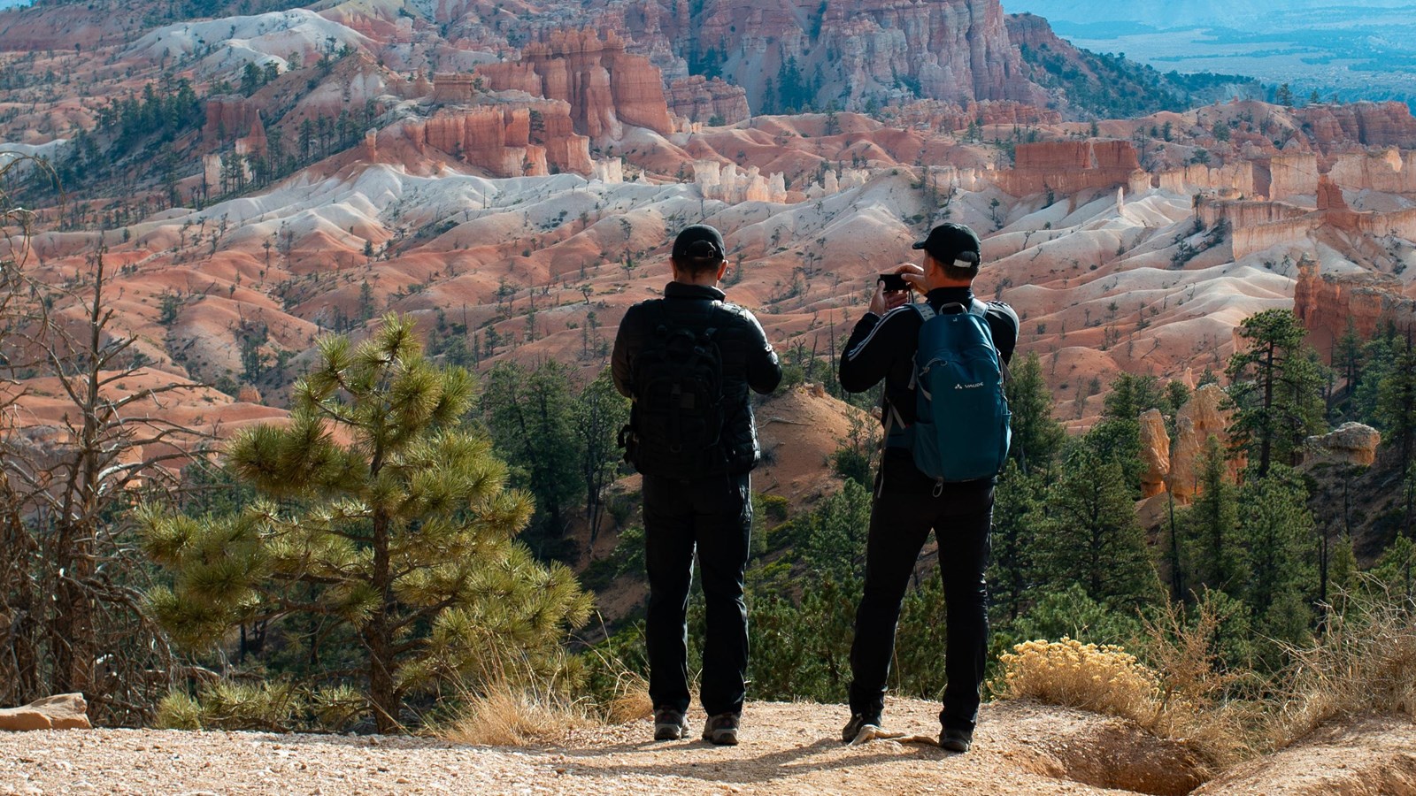
Bryce Point to Inspiration Point: 1.5 miles. The longest single stretch inside the amphitheater and the most exposed, running high above the Silent City with the Wall of Windows below you. Unpaved and narrow in places. This is the segment the park closes in winter: snow cornices build on a trail that is already tight, so from roughly the first heavy snow until it clears, this link is gone and you walk the other three instead.
Accessibility, families, and what is actually flat
Be precise about this one, because the trail gets described as "paved and accessible" far more broadly than the park does. The National Park Service says only the half-mile section between Sunset and Sunrise Points is wheelchair accessible. Grades vary along it and one section hits a maximum of 10.4%, so a push-assist helps. The unpaved continuation past Sunrise reaches 20.7% and the park does not recommend it.
The viewpoints themselves are a different matter and are rated very good for access: Sunset Point, Bryce Point, Paria View, and further down the scenic drive, Swamp Canyon, Natural Bridge, Agua Canyon, Ponderosa Canyon, Yovimpa Point and Rainbow Point. Accessible restrooms sit at the Visitor Center, the lodge, the General Store, Sunset Campground, Farview Point and Rainbow Point; the Sunset Point restrooms require assistance.
For families, the paved half mile is close to perfect. The hoodoos are right at the railing, the two ends both have restrooms, and the distance is short enough that nobody melts down. When the older kids want more, Queen’s Garden drops off the rim at Sunrise Point and is the gentlest way below the rim. See our Queen’s Garden and Navajo Loop guide.
Altitude, water, ice, and dogs
You are walking at altitude. Bryce averages around 8,000 feet and reaches over 9,000 at the south end of the park; Sunrise Point sits at 8,100 feet. If you drove up from the desert this morning, the rim will feel steeper than the numbers suggest. Slow down, drink more than you want to.
Water is scarce on the trail itself. The park lists fill stations at Sunset Point (seasonally at the point, year-round at the restroom) and seasonally at the General Store. There is nothing on the Sunrise-to-Fairyland stretch. Fill up before you start.
In winter and well into spring, ice is the real hazard. The park warns that popular trails, and even parking lots and paved areas, get icy enough that steep sections cannot be safely crossed without traction devices; it specifically recommends mountaineering crampons or similar. Microspikes in the pack from November through April are not overkill on this rim.
Dogs: leashed pets are allowed on the paved Rim Trail between Sunset and Sunrise Points, on the shared use path from the park entrance to Inspiration Point, in campgrounds and parking lots, on paved roads, and at paved viewpoint areas, with one exception: Piracy Point, where they are not allowed at all. Everywhere else, including every unpaved stretch of the Rim Trail, is off limits. The leash may be no longer than six feet, dogs are not permitted on the shuttle, and violations carry a minimum $75 fine. Emotional support animals count as pets under NPS rules, not service animals.
Combining the Rim Trail with a hike below the rim
The Rim Trail is the connector that makes every other amphitheater hike into a loop. The classic build:
- Park at Sunrise Point early, or take the shuttle if the lot is already full.
- Descend Queen’s Garden, link to the Navajo Loop, and climb out at Sunset Point: 2.9 miles, and the hike the park recommends to first-time visitors.
- Walk the Rim Trail south from Sunset to Inspiration Point (0.7 miles) and on to Bryce Point (1.5 miles) for the same hoodoos seen from above.
- Ride the shuttle back from Bryce Point, or walk the rim north to Sunrise and close the loop on foot.
That is roughly five to six miles with a real climb out of the amphitheater in the middle, and a comfortable half day. For other ways to build it, see our Bryce Canyon best hikes guide.
How the day flows from Duck Creek
- Bryce is about an hour from Duck Creek Village Inn: UT-14 to US-89, then east on UT-12. For a rim-focused day:
- 7:30 AM: Leave the inn. Fill the tank in the village; there is no gas in the park.
- 8:30 AM: Park at the Shuttle Station or Visitor Center and ride to Bryce Point.
- 9:00 AM: Walk north: Bryce to Inspiration to Sunset to Sunrise, 2.7 miles, with the morning sun full on the hoodoos.
- 11:30 AM: Coffee or lunch at the lodge, or a picnic table at Sunset Point.
- 12:30 PM: Add the scenic drive south to Rainbow Point, or drop below the rim on Queen’s Garden.
- 4:30 PM: Head back over Cedar Mountain and be at the inn for the evening cool.
Sunrise, sunset, and the light on the rim
The amphitheater faces east, which means sunrise is when the hoodoos are lit straight on and the color is at its most saturated. Arrive 30 to 45 minutes early. The build is better than the moment. By mid-afternoon the bowl shades itself and the whole thing flattens out.
The names are marketing, not astronomy. The park says both Sunrise and Sunset Points were named to coax early lodge guests out to accessible rim points at both ends of the day, and that each is spectacular at either hour. For evening, Bryce Point’s higher southern angle holds the light late, and Paria View, just off the Bryce Point spur, faces southeast toward the White Cliffs and Navajo Mountain and is at its best at sunset.
From Duck Creek, sunrise at Bryce means leaving in the dark for an hour’s drive; check road conditions over Cedar Mountain the night before in shoulder season. Sunset is the easier ask: arrive mid-afternoon, hike, walk the rim, and drive home in the twilight.
Stay planning
A rim morning leaves the afternoon open, which is the argument for basing here rather than in a gateway town. See staying near Bryce Canyon for how the drive compares, and check today’s Bryce conditions before you commit to a segment, because the Bryce Point link closes in winter and trail closures do happen.