Sandy-Caddy Creek
A good first-ride direction for mixed groups when roads are dry. Use it as a scenic orientation ride, and confirm exact mileage on the current map.
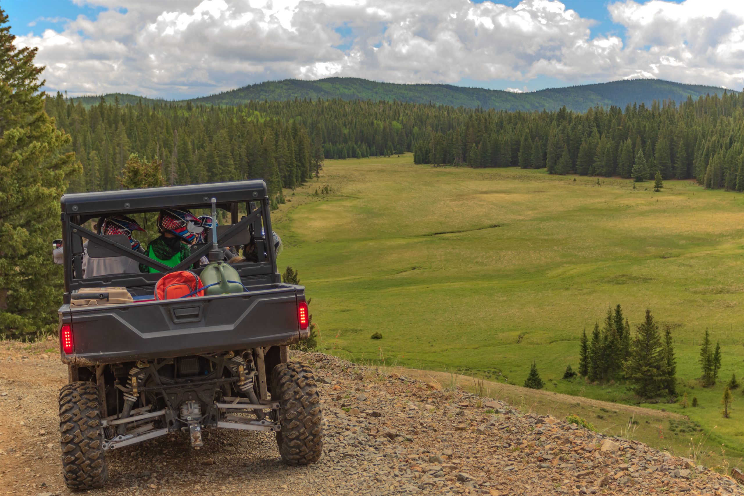
Trails
Loops, difficulty, and route planning on the Markagunt Plateau
The Markagunt OHV System is a Dixie National Forest route network across the Markagunt Plateau, linking roughly 300+ miles of designated routes across about seven main loops. Duck Creek Village sits directly on the system, and riders move through mixed conifer forest, open meadows, volcanic terrain, and high-country viewpoints.
Most rides are scenic forest-road style travel rather than technical rock crawling. Conditions still vary with snowmelt, mud, dust, washboarding, closures, and current maintenance.
Carry a current map, know your fuel range, and use the Motor Vehicle Use Map as the legal source for where motorized travel is allowed.
For the latest route status, closures, and MVUM context, start with road conditions and official Forest Service resources.
Choose routes that match your group, vehicle width, weather, and comfort with mountain roads.
A good first-ride direction for mixed groups when roads are dry. Use it as a scenic orientation ride, and confirm exact mileage on the current map.
A longer forest-road loop idea for riders who are comfortable with washboard, dust, changing surfaces, and fewer quick exits.
A viewpoint-heavy ride direction. Start with a full tank, watch daylight, and confirm the route is open before committing.
A scenic high-country option when the plateau is dry. Confirm MVUM legality, fire restrictions, and recent closures before leaving pavement.
ATV season follows snow-free trail conditions more than the calendar. Late spring, summer, and fall are the normal planning window, but snowmelt, mud, fire restrictions, or closures can change the day. In winter, use the snowmobile page instead of assuming ATV access. Snowmobile.
May 2026
Use official sources for legal route designations, Utah OHV education, equipment rules, and current land-management guidance. This guide is planning help, not a live conditions report.
Stay in Duck Creek and plan each ride around maps, weather, road access, and your group’s experience.