Map & Downloads
Printable ATV map and legend for the Markagunt OHV system
Download our ATV map (PDF)
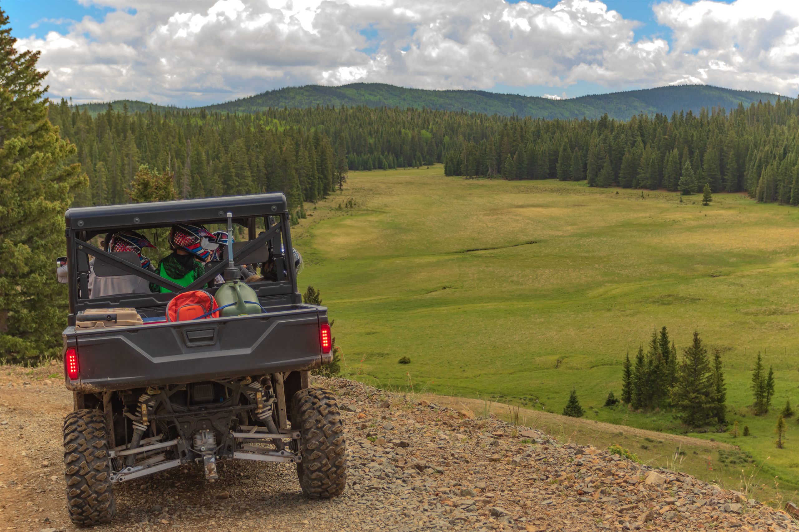
This printable Markagunt OHV map is the best starting point for route planning.
Difficulty
- Easy
- Intermediate
- Expert
Road and trail types
Ride only on routes designated for OHV use.
- OHV route
- Highway / paved
- Open road
No cross-country motorized travel. Stay on designated routes only.
Emergency numbers
Use 911 for life-threatening emergencies and verify numbers locally.
- Emergency911
- Utah Highway Patrol435-586-9445
For full rules and safety, see Rules & Safety.
Ready to Explore?
Book your stay and ride from Duck Creek Village.