Beste Wanderungen
Cedar-Breaks-Trails nach Schwierigkeit, von leichten Wiesenwegen bis zu Rim-Routen mit Bristlecone-Kiefern
Guide ansehen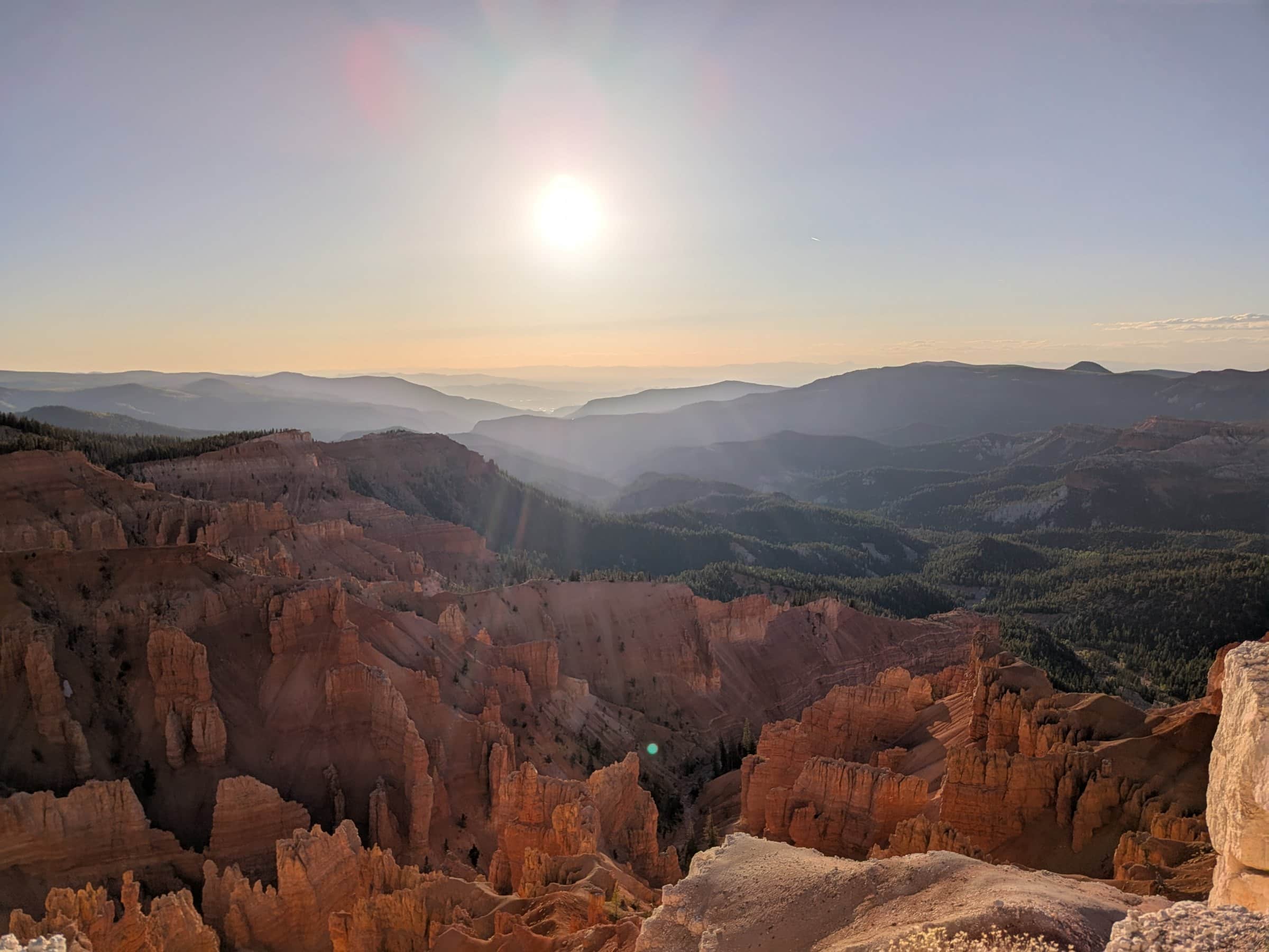
Duck-Creek-Guide
Etwa 20 Minuten vom Duck Creek Village Inn entfernt - dramatische Geologie, Sonnenuntergangsblicke und dunkler Himmel auf 10.000 Fuß
Auf einen Blick
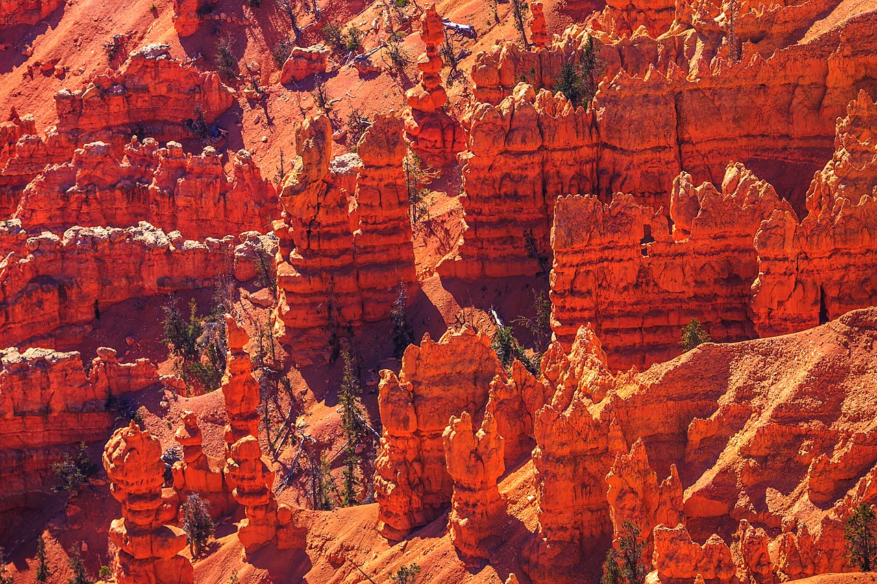
Cedar Breaks liegt etwa 20 Minuten von Duck Creek Village entfernt am westlichen Rand des Markagunt-Plateaus. Das Naturamphitheater ist über 2.500 Fuß tief und zeigt rote, orange, cremefarbene und violette Gesteinsschichten, die wie ein geologischer Kuchen aufeinanderliegen.
Im Gegensatz zu Bryce wirkt Cedar Breaks ruhiger und intimer. Der Reiz liegt am Rand: zu einem Aussichtspunkt gehen, sitzen bleiben und beobachten, wie sich das Licht an den Wanden des Amphitheaters veraendert.
Es ist ein Ort, der langsames Reisen belohnt - Alpine Pond, ein Sonnenuntergang am Rand und dann zurueck ins Inn, bevor es spaet wird.
One page for each part of the visit, so you can plan around what you care about.
Cedar-Breaks-Trails nach Schwierigkeit, von leichten Wiesenwegen bis zu Rim-Routen mit Bristlecone-Kiefern
Guide ansehen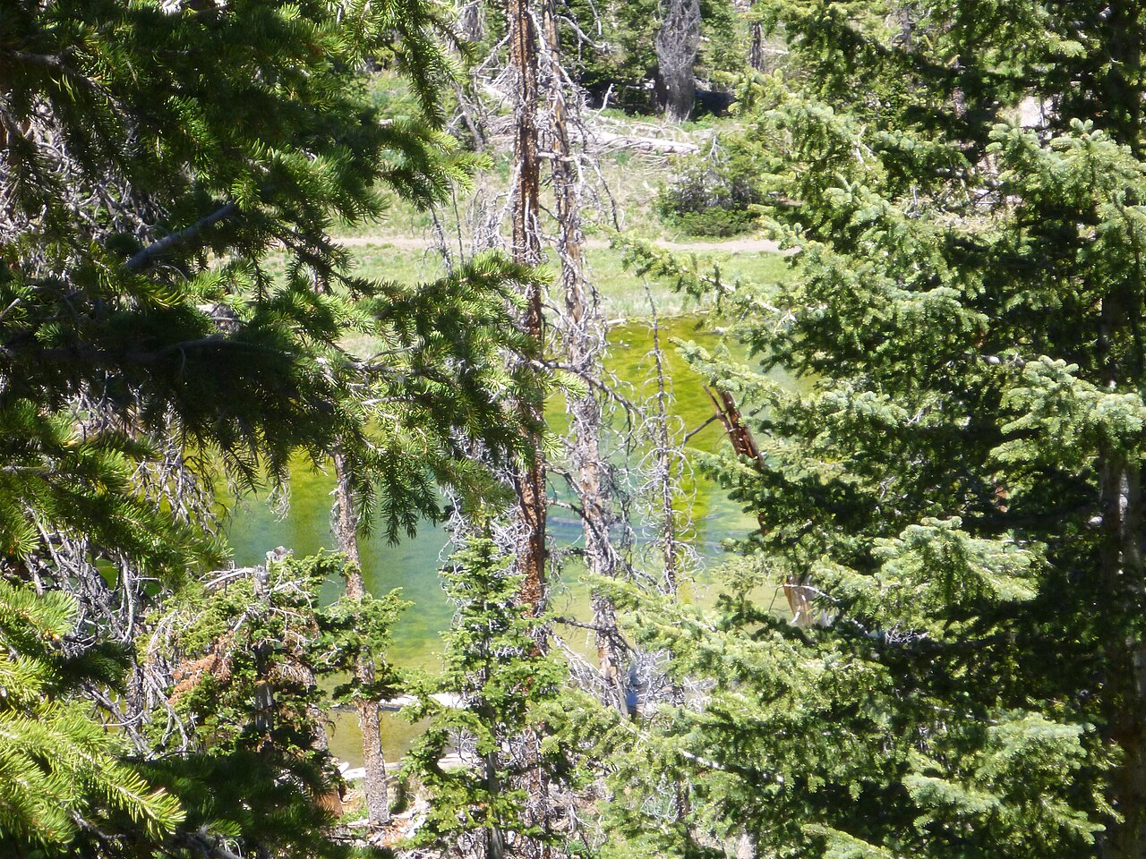
Die typische Cedar-Breaks-Wanderung - Wildblumenwiesen, ein subalpiner Teich und Bristlecone-Kiefern auf zwei leichten Meilen
Guide ansehen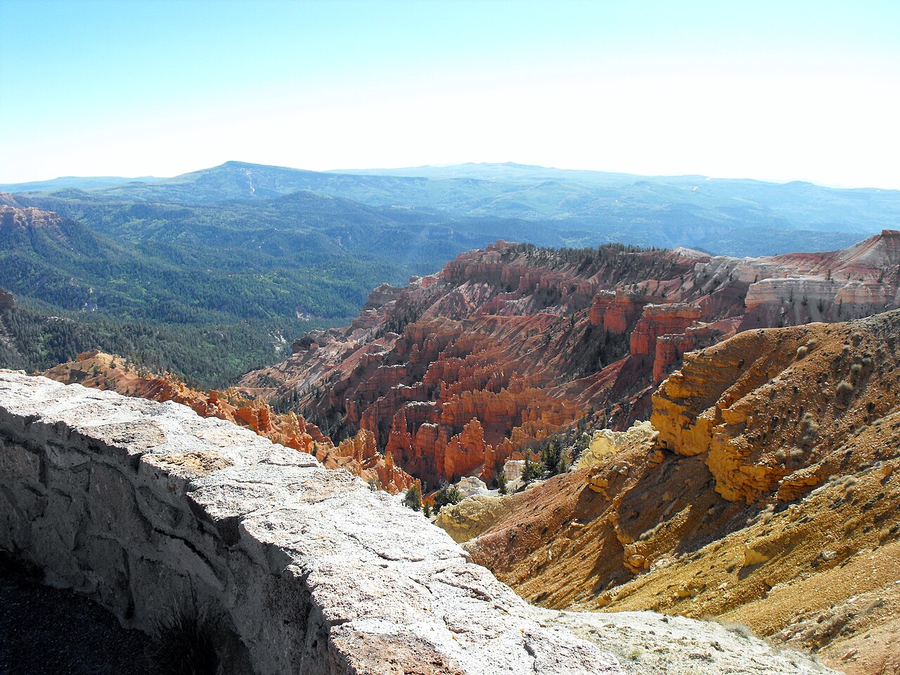
Point Supreme, Sunset View, North View und Chessmen Ridge - jeder Aussichtspunkt und was es im Visitor Center zu sehen gibt
Guide ansehen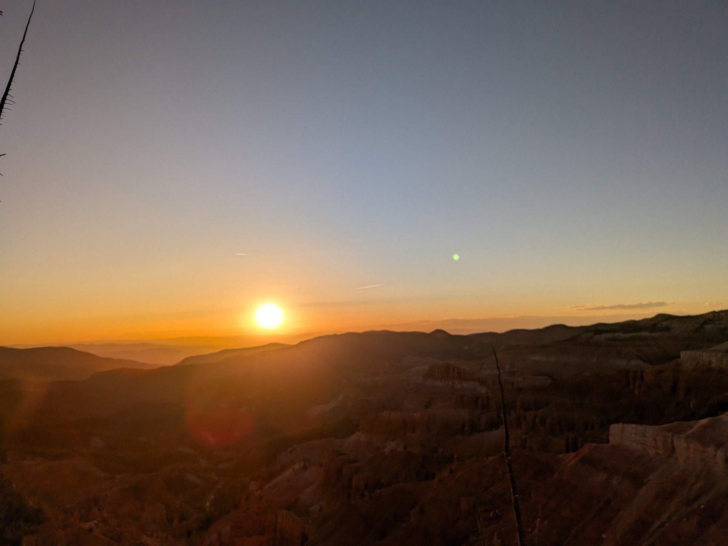
Der beste Sonnenuntergang in Southern Utah und ein International Dark Sky Park - so planst du einen Abend in Cedar Breaks
Guide ansehen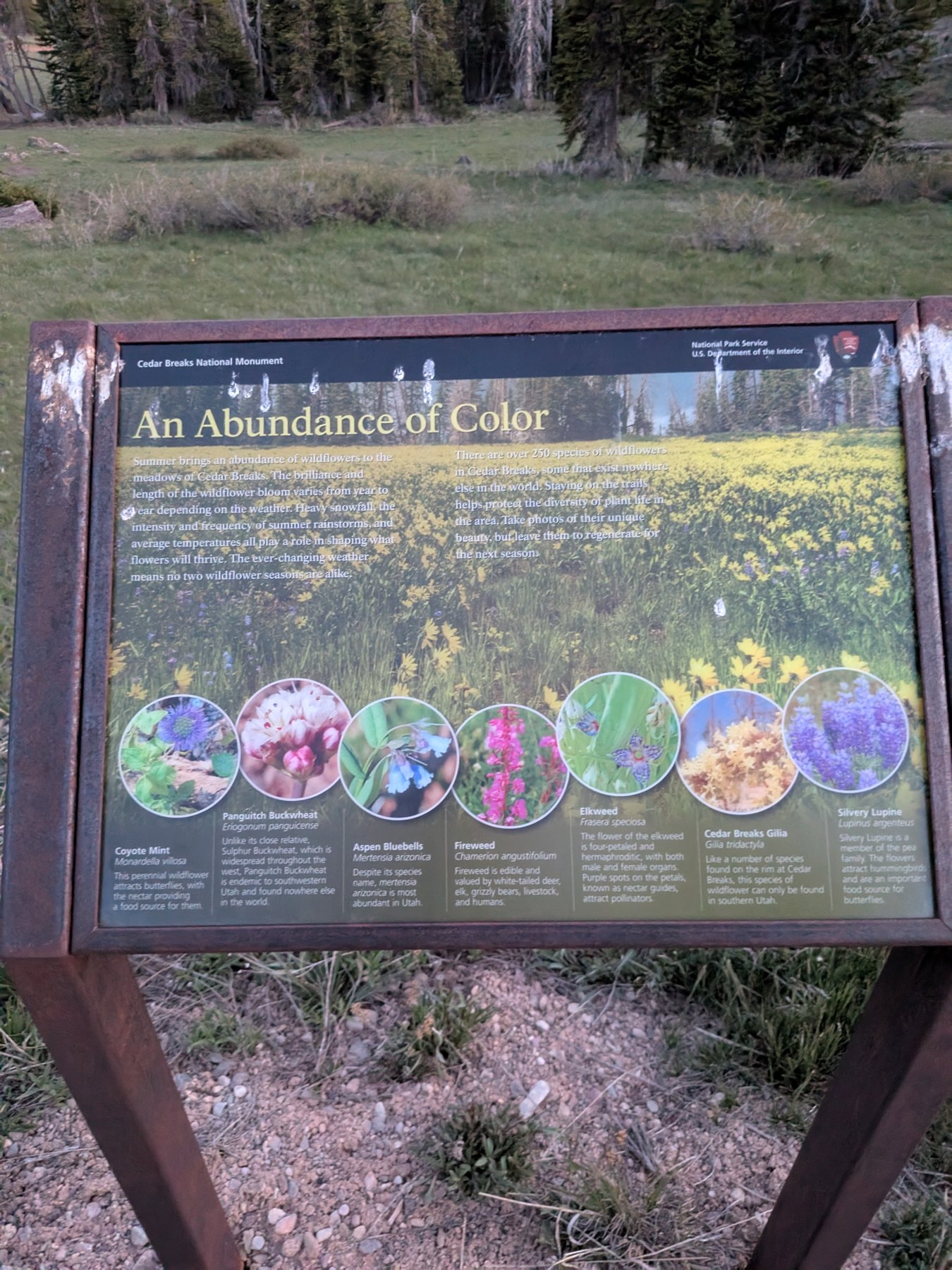
Ueber 250 Arten auf 10.000 Fuss: Bluetenkalender, illustrierter Feldfuehrer, die zwei endemischen Arten und das Wildflower Festival im Juli
Guide ansehen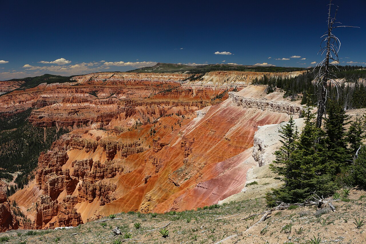
Ist die Strasse offen? Live-Warnungen, Oeffnungszeiten und Dark-Sky-Programme - direkt vom National Park Service
Guide ansehenLeave the inn heading west on Highway 14. The road climbs steadily through spruce and aspen, passes the Navajo Lake overlook at mile 8 (worth the pullout), and reaches the Highway 148 junction at mile 12, just under 9,900 feet. Turn right. Highway 148 climbs the last 500 feet through open meadows to the entrance station and the Point Supreme visitor center at mile 15.5. Call it 15.5 miles and 25 minutes; the overlooks continue another 4.6 miles north to the Highway 143 entrance and Brian Head.
In winter the plowing stops at the junction. The lot there is the trailhead for the snowmobile route along the closed highway and for skis and snowshoes, 3.5 miles from Point Supreme. Check Highway 14 road conditions before any shoulder-season trip; our conditions page has the live NPS road status.
The real route from the inn, traced from road geometry: Highway 14 west (solid green) and Highway 148 north through the monument (dashed). Tap any pin for its note and the page that covers it.
Depth, width, erosion rate and the bristlecone ages are from the National Park Service; the plant count is the NPS Northern Colorado Plateau Network inventory; establishment, acreage and visitation (688,644 in 2022) from NPS records. The colors are iron oxides rusting the limestone of an ancient lake bed, 50 to 60 million years old, that the Hurricane Fault has been lifting for the last 10 million years.
Most visitors to southern Utah drive past Cedar Breaks on the way to Bryce or Zion and never stop, which is their loss and your gain. From the inn it is the closest of the three parks, there is no shuttle, the lots are manageable on all but the busiest summer evenings, and a $25 pass is good for a week of return trips.
It also fills a different role. Cedar Breaks is the half day you take when you do not want another full-park commitment: up after breakfast, the Alpine Pond loop, a lap of the overlooks, and back at the inn for lunch. Or it is the evening: sunset at Sunset View and a Night Sky Tour at Point Supreme, then a 25-minute drive to a warm bed. Nobody else in the region has that combination.
The elevation helps too. The inn sits at 8,455 feet, so the 1,900-foot climb to the rim is gentle compared with the jump from St. George or Las Vegas, and you are already half acclimated when you step out of the car. The rim is still 10 to 20 degrees cooler than the parks around it, and windier, so the jacket you did not need at the inn comes along anyway.
Three photos from one evening on the rim, 1 June 2026, with the camera's clock on each. The amphitheater faces west, so the light works differently from Bryce: the rock glows an hour before sunset and goes dark as the sun reaches the ridge, and then the sky takes over.
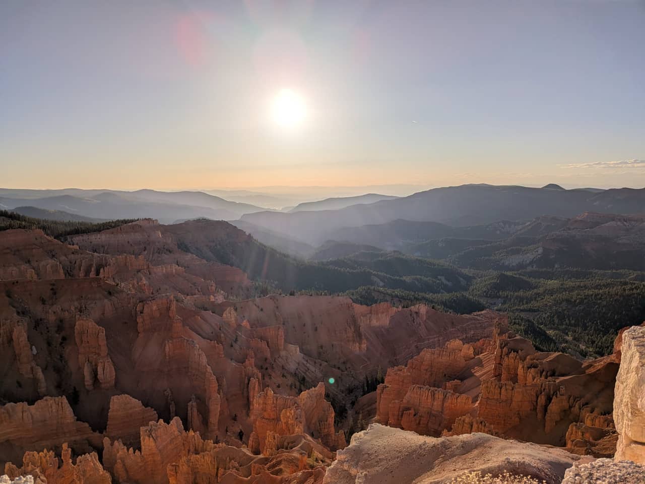
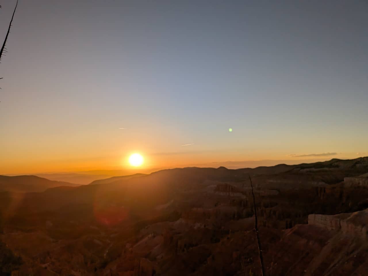
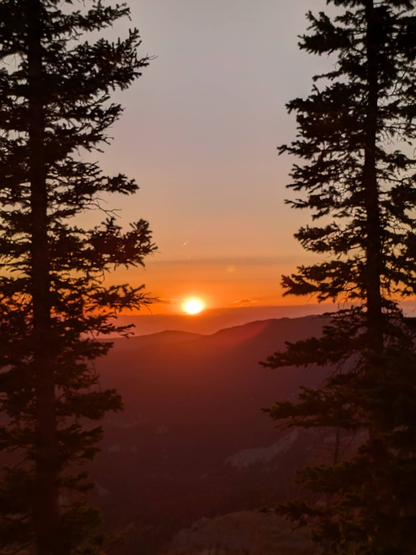
Our photos, Sunset View and the rim near Point Supreme, 1 June 2026. Camera clock times, Mountain Daylight Time.
Over 250 species bloom on the rim between late May and September, and two of them, Cedar Breaks gilia and Panguitch buckwheat, grow nowhere else. The meadows turn blue with lupine and flax in late June, peak in the first half of July when the park holds its Wildflower Festival (July 3 to 11 in 2026), and go gold with sunflowers in August. Our wildflower guide has a week-by-week bloom calendar and an illustrated field guide to twenty flowers.
The rim is 1,900 feet above the inn and nearly 4,500 feet above Cedar City, and it shows. The park says summer highs run 60 to 70°F with nights in the 30s and 40s, and that snow, sleet and hail can fall in any month. The table is an estimate for 10,350 feet from NOAA 1991 to 2020 normals at the Brian Head station (9,770 ft), adjusted 2°F for the extra elevation. A planning guide, not a forecast; the weather page has the current outlook.
Estimated typical highs and lows at Point Supreme, °F
| Month | Jan | Feb | Mar | Apr | May | Jun | Jul | Aug | Sep | Oct | Nov | Dec |
|---|---|---|---|---|---|---|---|---|---|---|---|---|
| High | 28° | 30° | 37° | 42° | 53° | 65° | 69° | 67° | 59° | 46° | 36° | 26° |
| Low | 8° | 10° | 15° | 16° | 25° | 34° | 40° | 41° | 33° | 22° | 15° | 8° |
July averages about 69° by day and 40° at night; September 59° and 33°. Greyed months are inside the usual road closure. Afternoon thunderstorms build over the plateau most days from mid July into early September, and the rim is the most exposed ground in the monument, so do the walks in the morning and be near the car by early afternoon.
Summer (June to August) is the season. The road is open, the visitor center is staffed, ranger programs start June 1, the wildflowers peak in early to mid July, and the Night Sky Tours run every Friday and Saturday. Afternoon thunderstorms build most days from mid July; do the exposed walks in the morning.
Early fall (September to mid October) brings thin crowds, cold clear nights for stargazing, and the aspen turning below the rim in the last ten days of September. The campground closes September 18 and the visitor center in mid October, but the road usually stays open until the first sustained snow, typically mid November.
Late spring (mid May to mid June) is when the road opens, May 15 in 2026. Snow lingers in the shade, the trails are muddy, and the first flowers are just showing. Quiet, and the amphitheater with snow on the fins is worth the drive.
Winter is non-motorized or snowmobile only. The plowing stops at the Highway 14 lot, 3.5 miles from Point Supreme, and the marked snowmobile route follows the closed highway. The NPS runs guided snowshoe walks on select weekends; check the park calendar and our winter guide.
Cedar Breaks is the easiest outing to build a stay around. Use Plan Your Days to pair a Cedar Breaks morning or evening with a Navajo Lake afternoon, or our Cedar Breaks and Navajo Lake itinerary to do both in one day. Compare rooms and cabins, and remember that Bryce Canyon and Zion are each about an hour away, so a three-park week works from this base. The stay near Cedar Breaks page compares the options.
Reviewed September 2026
We run the inn 16 miles down the mountain and go up to Cedar Breaks all season. The drive distance and elevation profile were traced from real road geometry; fees, season dates, hours and program schedules come from the National Park Service, checked in September 2026; the weather table is computed from NOAA climate normals; the sunset photos are ours. Conditions change with the snowpack, so cross-check the NPS pages before you drive.
Die Fragen, die Reisende danach meist stellen.
Der Alpine Pond Trail ist die beste Gesamtwahl.
Ja, die meisten davon sind gut machbar.
Nein, die Wege bleiben oben am Rand und im Amphitheaterbereich.
Nein, nur auf gepflasterten Flaechen und in Parkbereichen.
Buche dein Zimmer oder deine Cabin im Duck Creek Village Inn - 20 Minuten vom Monument entfernt mit kuehlen Bergabenden und sternenklaren Naechten.