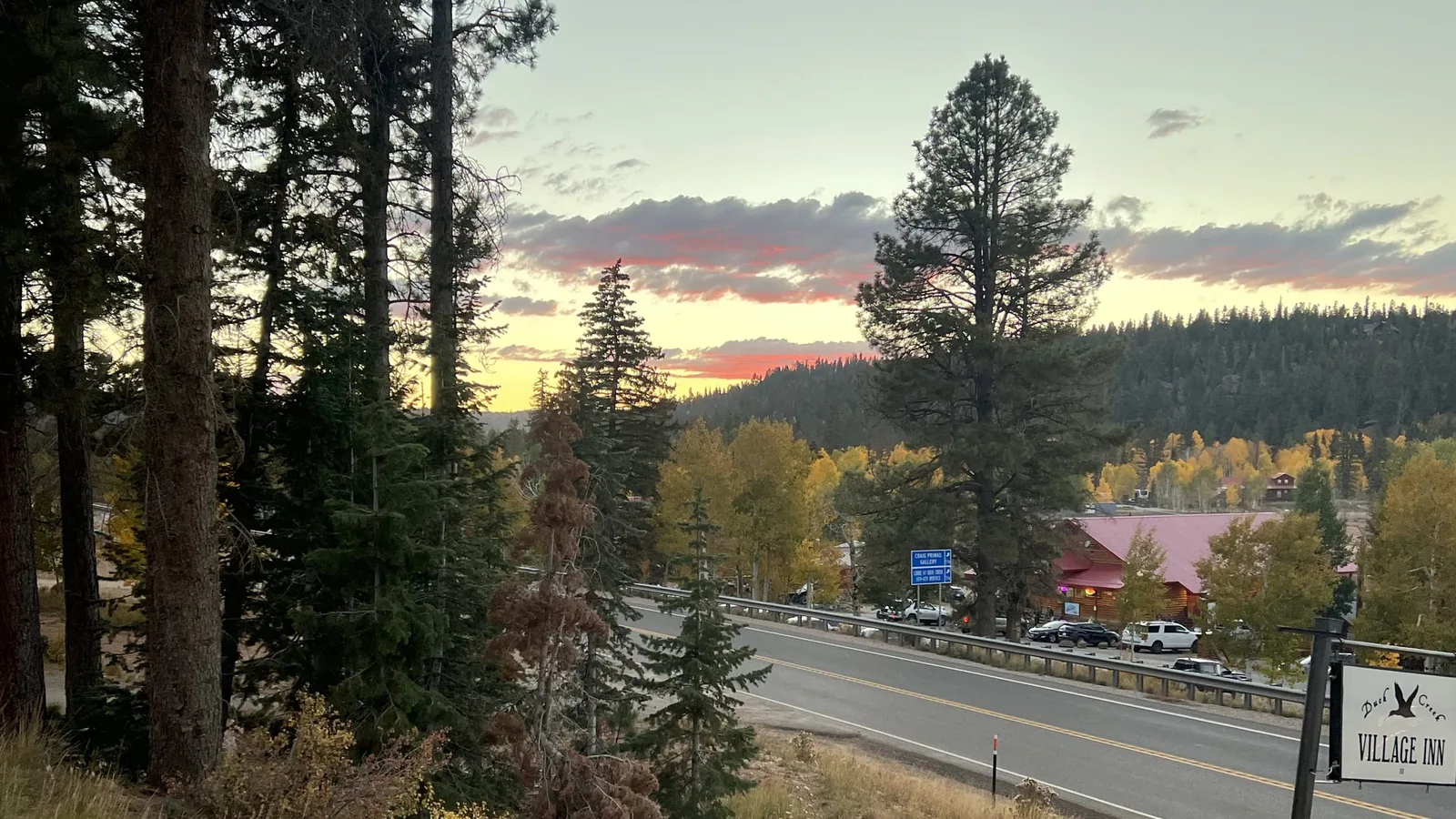
Duck Creek Village sits 283 miles south of Salt Lake City, about five hours of driving. The I-15 run through Cedar City, the Panguitch alternative that costs eight minutes, and the 4,300 feet you gain on a drive that heads south the whole way.
How Far Is Duck Creek Village From Salt Lake City? Two Routes and 4,300 Feet Up
Duck Creek Village sits 283 miles south of Salt Lake City. Call it five hours behind the wheel. The standard run is I-15 to Cedar City, then Highway 14 east for the final 30 miles. A second route through Panguitch covers 286 miles in about five hours and fifteen minutes. Those two land close enough that the decision comes down to road status and scenery, never the clock.
| The Salt Lake City drive | Number |
|---|---|
| Total distance | 283 miles |
| Driving time, no stops | about 5 hours |
| Elevation, start to finish | 4,226 ft to 8,507 ft |
| Final leg on Highway 14 | 30 miles, about 45 minutes |
| Panguitch alternative | 286 miles, about 5 h 15 |
Distances come from routing the drive door to door. Ground elevations come from USGS data sampled along the route.
The interstate does most of the work
You spend 252 of those 283 miles on I-15, and that stretch runs about four hours and fifteen minutes at highway speed. Then you turn east at Cedar City. The last 29 miles take another 45 minutes, so a tenth of the distance costs you a sixth of the clock.
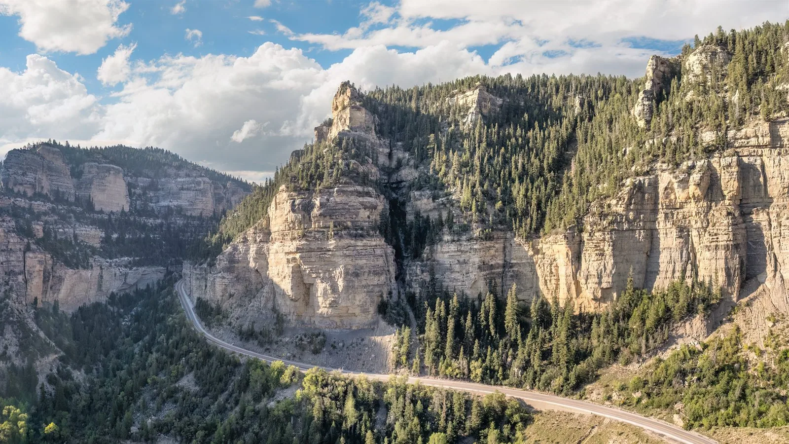
That final leg catches people out. Highway 14 climbs out of Cedar Canyon on a long grade, crests a shade under 10,000 feet near milepost 17, and settles onto the plateau at the village. We broke the whole climb down in our piece on the thirty miles up from Cedar City. Budget 45 minutes for it in midsummer, and a full hour behind a trailer.
Cedar City is your last full service town. Fuel there, buy groceries there, and take the restroom break there. No gas pump waits between the canyon mouth and the village.
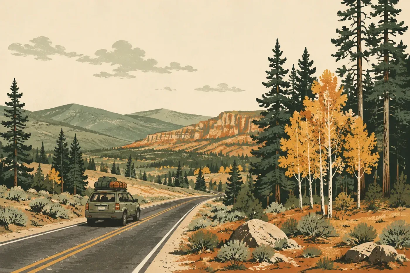
The last hour of the Salt Lake City run, illustrated for our Salt Lake City trip page.
Good places to break a five hour drive
| Stop | Miles from Salt Lake City |
|---|---|
| Provo | 46 |
| Nephi | 85 |
| Fillmore | 144 |
| Beaver | 199 |
| Cedar City | 252 |
| Duck Creek Village | 283 |
Beaver at mile 199 sits at 5,902 feet and makes the best single stop for a group. You have covered two thirds of the drive, the exits carry fuel and food, and the remaining 84 miles include the mountain part you want fresh legs for. Nephi works better for a short stretch with small kids, because 85 miles is about as long as a car seat holds peace.
Cedar City deserves a stop of its own if you get there before the shops close. It is the last supermarket, the last pharmacy, and the last hospital before the plateau.
You finish 4,300 feet above where you started
I-15 tops out at 6,611 feet at milepost 124.8 between Beaver and Cove Fort, the highest ground the interstate touches anywhere in Utah. Duck Creek Village sits at 8,507 feet. The village therefore stands about 1,900 feet above the interstate’s Utah high point, and about 4,300 feet above downtown Salt Lake City.
Five hours of driving due south, and you arrive somewhere colder than the place you left. Mid September proves the point. Salt Lake runs in the 80s while Duck Creek tops out near 70 and drops to the low 50s overnight. Bring a jacket you would not pack for a Utah September at valley level, and read our note on what 8,507 feet asks of you before the first night.
The Panguitch route and when it wins
Take I-15 to exit 95, run SR-20 east for its 20 miles to US-89 at Bear Valley Junction, drop south through Panguitch, then turn west onto Highway 14 at Long Valley Junction for the last 16 miles. Total: 286 miles and about five hours fifteen.
Eight extra minutes buys you two things. The first is a working plan B, because a closure in Cedar Canyon strands the I-15 route and this one comes at the plateau from the far side. Highway 14 lost about 1,300 feet of roadway to a landslide near milepost 8 in October 2011 and stayed shut for more than seven months, which is the reason locals keep a second way home in their heads.
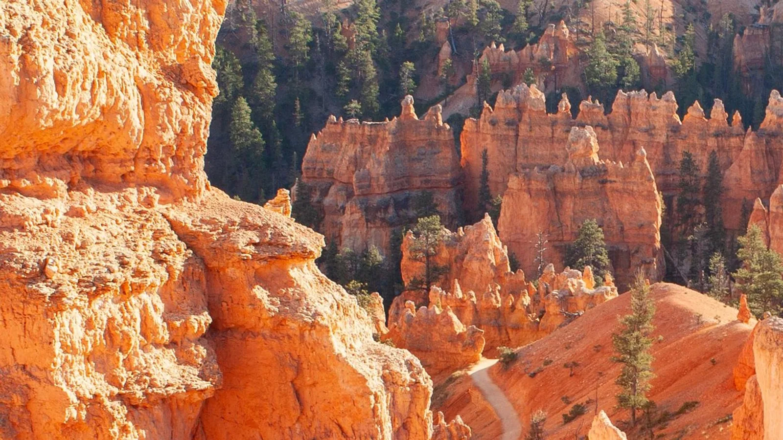
The second is Bryce. US-89 through Panguitch puts you 25 miles from the park entrance, so this route turns the drive down into the first half of a park day. Our Bryce Canyon distances lay out the timing from the village.
Flying into Cedar City instead
| Flying in | Detail |
|---|---|
| Nearest commercial airport | Cedar City Regional, CDC |
| Airline | Delta, operated by SkyWest |
| Flight time from SLC | about 1 hour 5 minutes |
| CDC to the village | 30 miles, about 45 minutes |
| Rental cars at the terminal | Avis, Budget, Enterprise |
Cedar City Regional connects to Salt Lake City on Delta Connection every day, and the terminal is one building with the rental counters inside it. Downtown Cedar City is a ten minute drive from the ramp. For a long weekend out of northern Utah the flight seldom pencils out against a five hour drive. It changes the math for anyone connecting through Salt Lake from farther away.
Quick answers for the Salt Lake City drive
How long does the drive from Salt Lake City to Duck Creek Village take? About five hours for 283 miles, with no stops. Add 30 to 45 minutes for a meal and fuel in Beaver or Cedar City.
Is Duck Creek Village higher than Salt Lake City? Yes, by about 4,300 feet. Salt Lake sits near 4,226 feet. The village sits at 8,507.
Is there an airport in Duck Creek Village? No. Cedar City Regional is the closest commercial field at 30 miles, and Salt Lake City International is the closest large one.
What happens to this drive in winter? UDOT plows both I-15 and Highway 14 all winter. Storms close the canyon for a few hours at a time and can bring traction requirements, so check the UDOT map and our road conditions page the morning you leave.
Which route should a first timer take? I-15 to Cedar City, then Highway 14. It is the simpler drive, the services are better, and the climb up the canyon is the memorable part.
Booking the far end of the drive
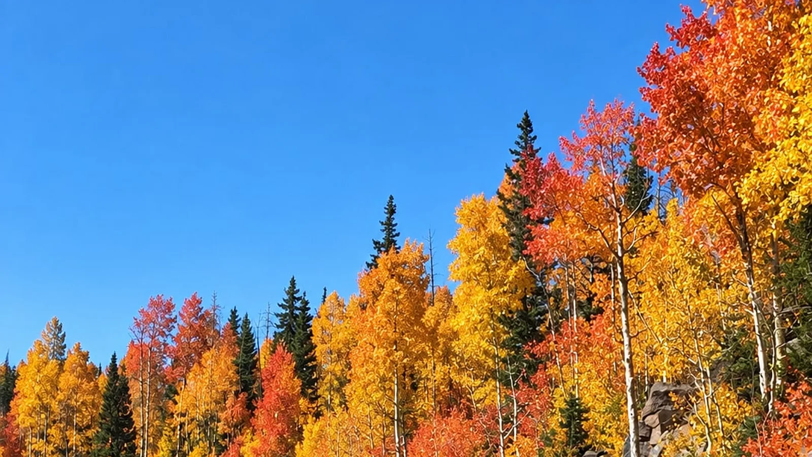
Late September and early October are the weeks northern Utah families make this run, because the aspens on Cedar Mountain turn while the valleys stay hot. Our fall colors page tracks the timing by elevation. Once you have the date, our rooms and cabins sit on Highway 14 at the end of the drive, which means the last turn of a five hour day is into the parking lot rather than another mile of forest road.