
Trip Planning · Duck Creek Journal
How High Is Duck Creek Village, Utah? The Elevation and What It Changes
Duck Creek Village sits at 8,507 feet, higher than the Bryce Canyon rim at Sunset Point and 4,600 feet above the floor of Zion Canyon. The climb up Highway 14, the 28 degree gap with St George, and what the first night at altitude asks of you.
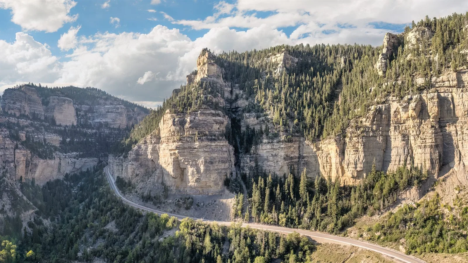
In this story
Duck Creek Village sits at 8,507 feet above sea level. The village strings along Highway 14 for about four miles, from 8,470 feet at the east end to past 9,000 feet at the west edge, so most lodging here sits near 8,500. You sleep higher than the Bryce Canyon rim at Sunset Point, and about 4,600 feet above the floor of Zion Canyon.
| Duck Creek Village elevation | Number |
|---|---|
| USGS map elevation | 8,507 ft / 2,593 m |
| Village range on Highway 14 | 8,470 to 9,100 ft |
| Cedar City, the gateway town | 5,844 ft |
| Climb from Cedar City | 2,660 ft over 29 miles |
| Drive time from Cedar City | about 45 minutes |
| Highway 14 high point | 9,896 ft at Midway Summit |
The number and where it comes from
The Geographic Names Information System, the federal gazetteer that supplies the elevation on most maps and search results, puts Duck Creek Village at 8,507 feet. Sample the USGS elevation data along Highway 14 through town and you get a range instead of a point: 8,472 feet at the east end near Movie Ranch Road, 8,553 through the middle of the village, and 9,098 by the time the highway starts its climb toward the summit.
Both figures hold up. The inn and most of the businesses cluster on the lower, flatter end, which is why you see 8,400 feet on so much local signage, and why the map says 8,507. Round to 8,500 and you will never be more than a hundred feet off.
Climbing Highway 14 from Cedar City
Cedar City sits at 5,844 feet. The drive up Highway 14 covers 29 miles and gains 2,660 feet, and the routing engines call it 44 minutes. Give it closer to an hour with a loaded vehicle. The first 16 miles run through Cedar Canyon on grades that touch 8 percent, then the road tops out on the Markagunt Plateau and rolls east through spruce and aspen into the village. Midway Summit, west of town, marks the high point of the highway at 9,896 feet.
Coming from the other direction, Highway 14 meets US-89 at Long Valley Junction, and the climb from that side runs gentler. The road conditions page tracks the current state of the pass, which matters more from October on.
Weather at 8,500 feet in September
The gap with the desert is the whole reason people come up. This week the National Weather Service has the village at highs of 69 to 76 with lows of 48 to 51. St George, 81 miles and 5,900 feet below, runs 98 to 104 with lows in the middle 70s. Thursday shows the spread at its widest: 76 up here, 104 down there.
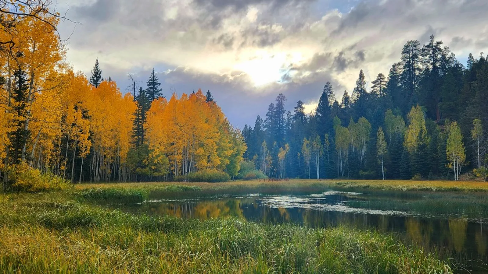
Elevation also sets the season. Nights drop into the 40s in September and the 30s by early October, the aspens color from the top of the plateau downward, and the first snow lands here while Zion is still in shirtsleeves. The Duck Creek guide covers the month by month picture.
Your first night at altitude
The CDC puts a number on it: about 25 percent of visitors who sleep above 8,000 feet in Colorado develop acute mountain sickness. Duck Creek Village sits in that band. Most people feel nothing worse than a short night and a dry throat, and a few get a headache on the first evening.
The same CDC chapter notes that two or three nights at 8,000 to 9,000 feet protects against sickness higher up. That cuts in your favor here. Spend two nights in the village and Cedar Breaks at 10,335 feet or a Bryce rim hike stops feeling like a wall. Drink more water than you want, go easy on the first drink, and save the hard hike for day two.
Cooking, sun, and skin up high
Water boils near 197 degrees at this elevation instead of 212, so pasta, beans and rice all run long. Add a few minutes and check early. Baking shifts too, which is worth knowing if you booked a cabin kitchen for the week.
The sun hits harder. The EPA puts the increase at about 6 percent per kilometer of elevation, which lands the village around 16 percent above sea level on the same day. Add the reflection off snow in winter and a 65 degree afternoon will still burn you. Sunscreen and a hat earn their space in the bag.
Higher ground within twenty minutes
The village makes a low basecamp for high country. Navajo Lake sits at 9,040 feet, six miles west and twelve minutes up the road. Cedar Breaks National Monument rims out at 10,335 feet, 14 miles and twenty minutes away, above an amphitheater the Park Service measures at half a mile deep. Highway 148 through the monument closes for snow from about mid November to mid May, so the fall window is short and worth taking.
Down the other side, Zion sits an hour out at 3,927 feet on the canyon floor. Few places let you eat breakfast above 8,500 feet and stand in a desert canyon by mid morning.
Quick answers about Duck Creek elevation
- What is the elevation of Duck Creek Village, Utah?
8,507 feet, or 2,593 meters, on the USGS map. The village itself spans 8,470 to 9,100 feet along Highway 14.
- Is Duck Creek Village higher than Bryce Canyon?
Higher than the rim at Sunset Point, which sits at 7,948 feet. The Park Service puts Bryce Canyon’s southern end at 9,100 feet around Rainbow Point, so the far end of the park tops the village.
- Do people get altitude sickness in Duck Creek Village?
Some do. The CDC counts about a quarter of visitors sleeping above 8,000 feet with symptoms, which run to headache and poor sleep on the first night. Water, an easy first day and a light first evening handle most of it.
- How much cooler is Duck Creek than St George?
About 25 to 30 degrees on a summer or early fall afternoon. This week the forecast spread runs 26 to 28 degrees.
- How long does the drive up from Cedar City take?
29 miles and about 45 minutes on Highway 14, gaining 2,660 feet. Check current road conditions before you leave in winter.
The short version: 8,507 feet buys you 25 degrees, dark skies, aspens in September and a two hour reach to three national parks. Pick a room or a cabin and let the desert stay hot without you.
 Trip Planning
 Where Is Duck Creek Village, Utah? A Southern Utah Map for Vegas and Park Travelers
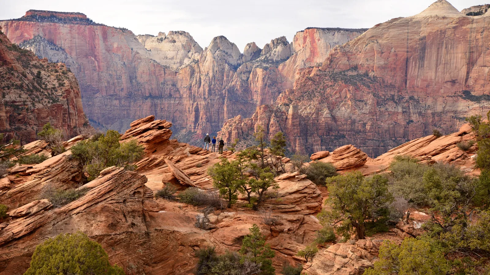
Duck Creek Village sits on Highway 14 in the high forest east of Cedar City, giving Las Vegas visitors a cooler mountain base for Cedar Breaks, Bryce Canyon, Zion, and slower southern Utah road trips.
 Trip Planning
 How Far Is Duck Creek Village From Zion National Park? Three Doors, Three Drive Times
The East Entrance sits 46 miles from the village, Springdale 58, Kolob Canyons 53. The mileage on each leg, the 2026 size limits that closed the short route to big rigs, and the fees you pay at the gate.
 Trip Planning
 Cedar Breaks or Bryce Canyon: If You Only Have One Day of Hoodoos in You
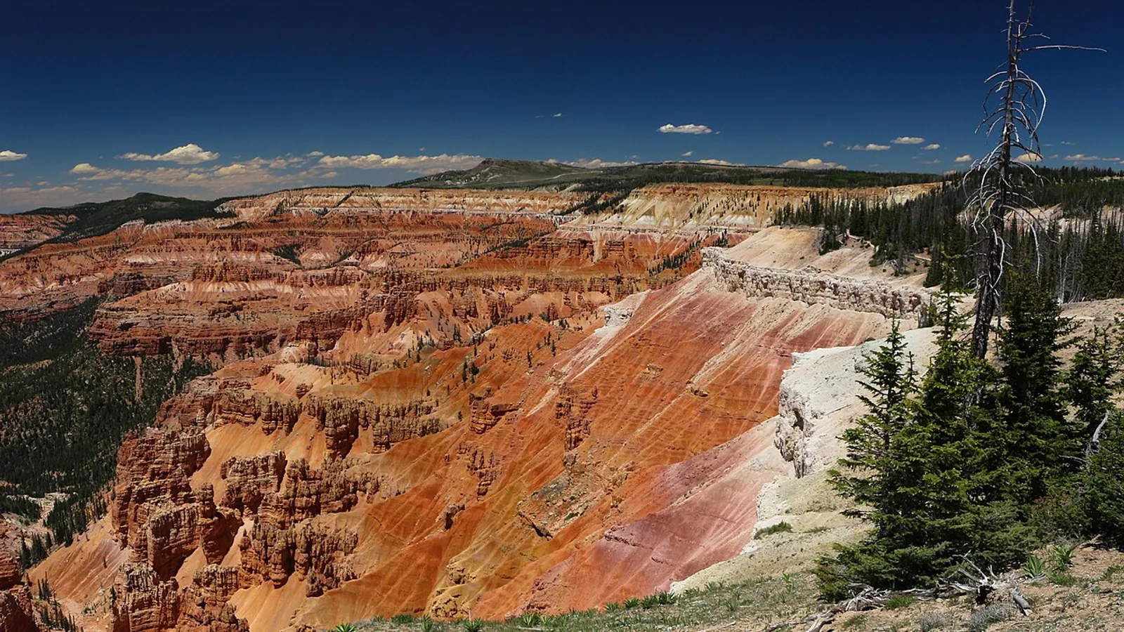
Two red rock amphitheaters, both within reach of Duck Creek Village, and most guests only have room for one. Here is the honest comparison: drive times, fees, how much walking each really asks of you, and the seasonal deadline that decides it for you.
Book the basecamp
When the trip idea is taking shape, Duck Creek Village Inn makes an easy base between slower mountain time and bigger Southern Utah days.