Escalante sits 91 road miles from Duck Creek Village, a drive of about two hours by Highway 14, US-89 and Scenic Byway 12. The road crosses two summits on the way, lands 2,600 feet lower, and runs about ten degrees warmer in October.
How Far Is Duck Creek Village From Escalante, Utah? 91 Miles Over Two Summits
Escalante, Utah sits 91 road miles from Duck Creek Village. The route runs east on Highway 14, north on US-89 through Hatch, then east on Scenic Byway 12 past the Bryce Canyon turnoff, Tropic and Henrieville into town. Our routing puts the drive at 2 hours 7 minutes without stops, so plan on two to two and a half hours each way.
That makes Escalante a long day trip or a stop on the way somewhere else. Pick one thing to do there, start early, and you will drive home in daylight through October.
| Duck Creek Village to Escalante | Details |
|---|---|
| Road distance | About 91 miles |
| Driving time | 2 to 2.5 hours each way |
| Main route | SR-14, US-89, Scenic Byway 12 |
| Elevation change | 8,440 ft down to about 5,820 ft |
| Time zone | Same, Mountain Time |
The route east from Duck Creek Village
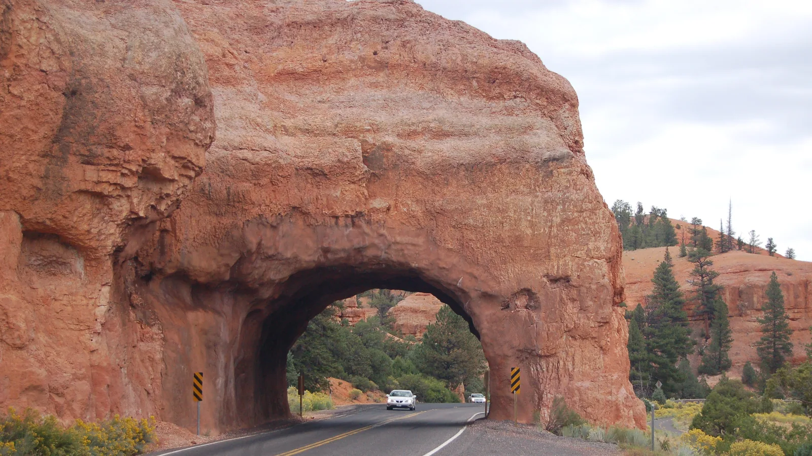
You start downhill. Highway 14 drops 10 miles to Long Valley Junction, where you turn north on US-89 and follow the Sevier River through Hatch. About 32 miles from the inn, Scenic Byway 12 leaves US-89 and heads east through Red Canyon.
Byway 12 carries the federal All-American Road label and runs 123 miles from US-89 to Torrey. You drive about half of it to reach Escalante. The Bryce Canyon turnoff comes at about mile 45, then the road drops off the plateau into Tropic, Cannonville and Henrieville before it climbs again.
| Stop on the drive | Road miles from the inn |
|---|---|
| Long Valley Junction | 10 |
| Hatch | 24 |
| Byway 12 turnoff | 32 |
| Tropic | 53 |
| Henrieville | 61 |
| Escalante | 91 |
We sampled USGS elevations every mile along the route. The drive crosses two summits. The first, a 7,830 foot crest on the plateau east of Red Canyon, sits about 39 miles out. The road then falls 1,950 feet to Cannonville, climbs back to 7,580 feet on the summit east of Henrieville, and drops again into Escalante at about 5,820 feet. You finish 2,600 feet below the village.
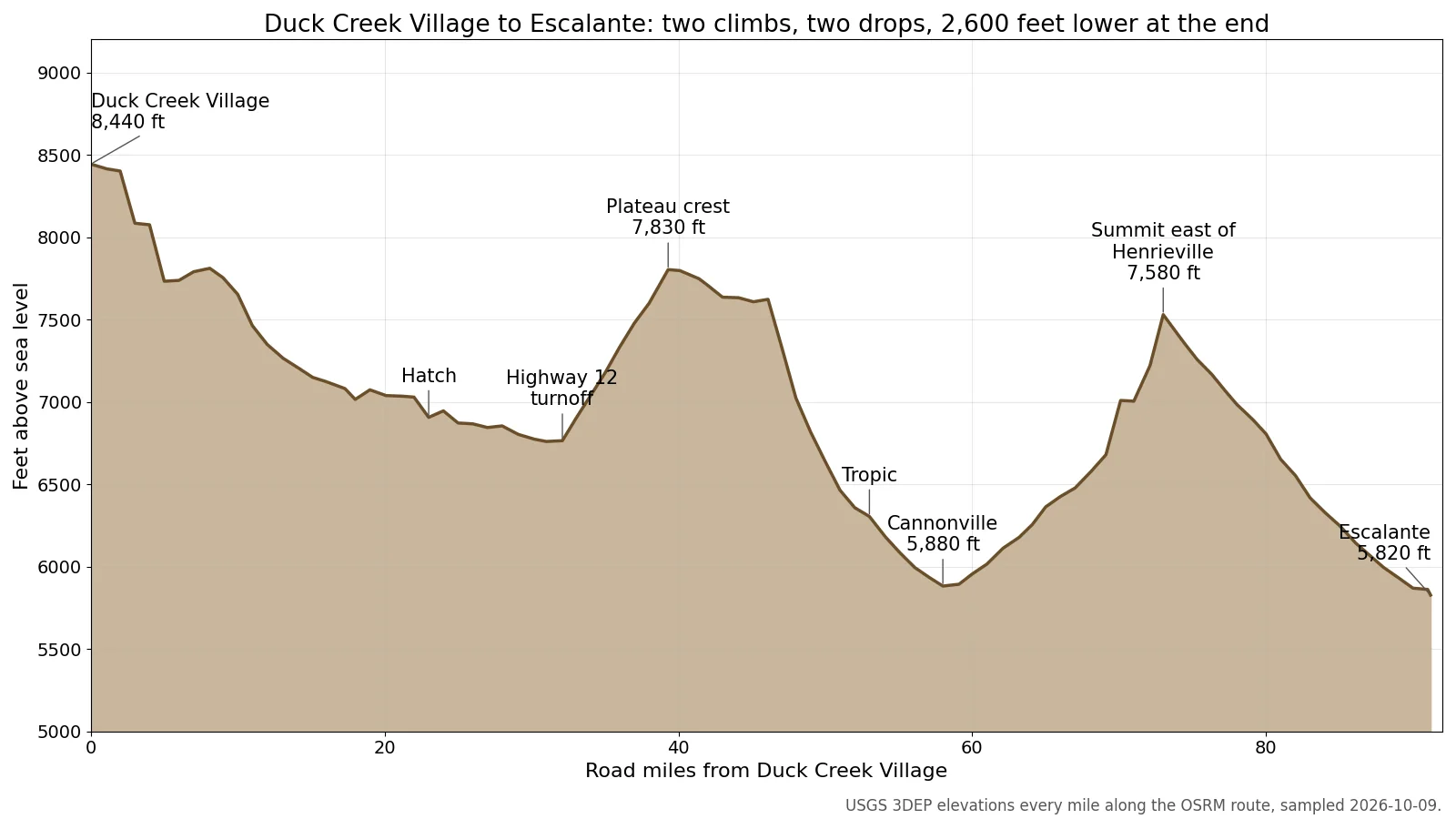 Elevation every mile along the route, from USGS 3DEP data sampled for this post.
Weather and daylight in Escalante
Losing 2,600 feet buys you warmth. Escalante’s October normal high is 68°F, against 58 to 60°F in the village, so the jacket you needed at breakfast goes in the trunk by lunch. Nights still drop below 40°F in town.
| Escalante in fall | Normal or time |
|---|---|
| October high and low | 68°F and 37°F |
| November high and low | 54°F and 26°F |
| October rain | 1.26 inches |
| Sunset, October 15 | 6:50 pm |
| Sunset, November 2 | 5:28 pm |
The clocks change on November 1, and the evening drive home gets dark an hour earlier from then on. Leave Escalante by 3:30 pm in early November and you finish the drive near sunset. Our October weather post has the village side of the numbers.
What to do once you get there
Three stops fit a short visit, and each one can carry a day trip on its own.
| Stop near Escalante | The numbers |
|---|---|
| Escalante Petrified Forest | $10 per vehicle, on the way in |
| Lower Calf Creek Falls | 6 miles round trip, $5 per vehicle |
| Devils Garden | Mile 12 of a dirt road |
| Visitor center | Tue to Sat, 9 am to 4 pm |
Escalante Petrified Forest State Park sits just west of town, about 90 miles from the inn. Nature trails run through a petrified forest, Wide Hollow Reservoir sits inside the park, and the visitor center and museum stay open 9 am to 6 pm.
Lower Calf Creek Falls has its trailhead on Byway 12, 15 miles east of Escalante, and BLM describes a 6 mile round trip on sandy trail to a 126 foot waterfall. From the inn that comes to 107 miles and about 2.5 hours one way, so this is the long version of the day.
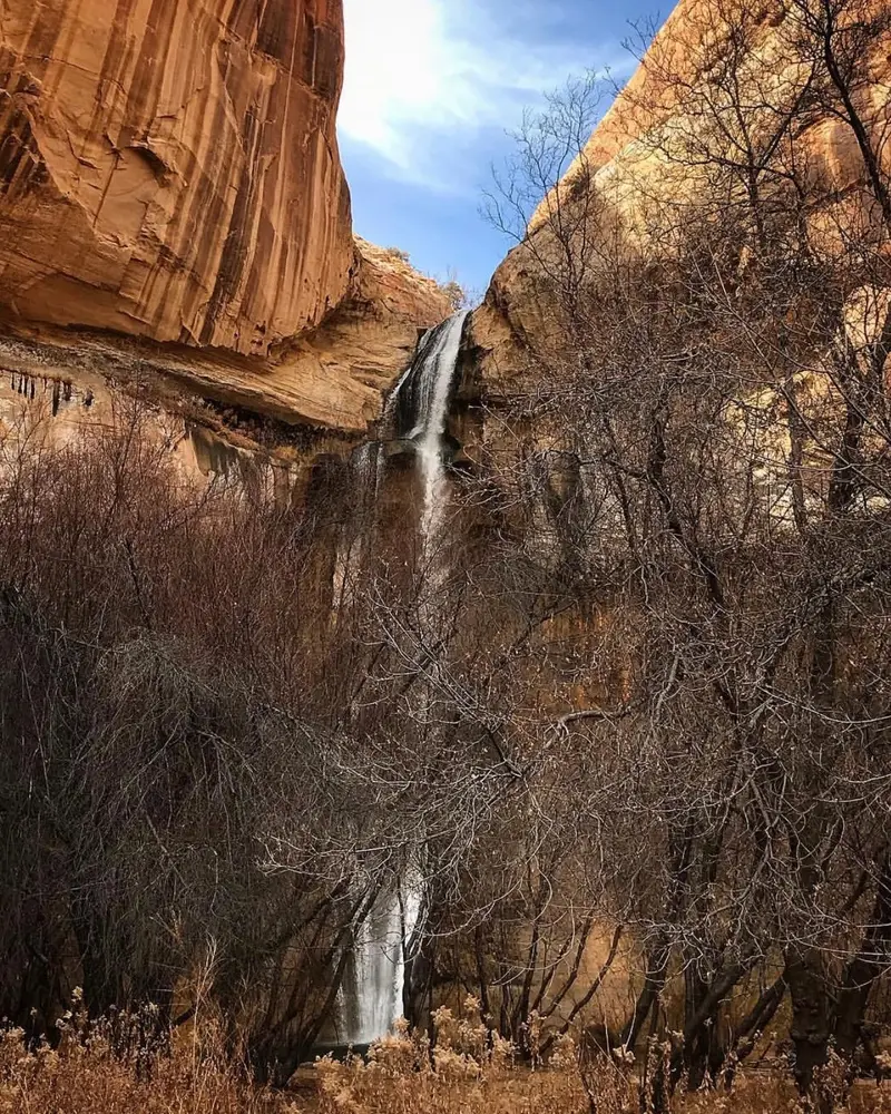 Lower Calf Creek Falls, 15 miles east of Escalante. Photo: Harry Barber, BLM Utah, public domain.
Devils Garden sits 12 miles down Hole-in-the-Rock Road, a dirt road that starts a few miles east of town. The hoodoos stand about half a mile off the road. The National Park Service calls the road passable to high clearance two wheel drive vehicles in dry weather and warns that heavy rain can make it impassable, so skip it the day after a storm.
The Escalante Interagency Visitor Center keeps its summer schedule, Tuesday through Saturday from 9 am to 4 pm, through mid-November. The Cannonville Visitor Center you pass on the way stays closed until further notice, per BLM.
The 2026 change to the monument boundary
On July 13, 2026, a presidential proclamation cut Grand Staircase-Escalante National Monument to about 181,541 acres, down from about 1.87 million. Two units remain, the Canyons of the Escalante Unit and the Kaiparowits Horizon Unit. The proclamation states that it does not affect existing roads and trails. The fees and hours above come from BLM and Utah State Parks pages read on October 9, 2026.
Quick answers about the Escalante drive
How long is the drive from Duck Creek Village to Escalante? About 2 hours 7 minutes without stops for 91 miles, so plan on two to two and a half hours each way.
Is Escalante worth a day trip from Duck Creek Village? Yes, if you pick one main stop. Calf Creek Falls or the petrified forest each fill the day with the drive.
Is Escalante warmer than Duck Creek Village? Yes. The October normal high in Escalante is 68°F, about ten degrees above the village.
Can you combine Escalante with Bryce Canyon? Yes. The Bryce turnoff sits on the same road at mile 45, so the two fill one long day together. Our Bryce Canyon distance post covers the park half.
Where should you get gas on the way to Escalante? Tropic, at mile 53, before the second summit. Escalante has its own stations on Highway 12 through town.
Escalante works best as a day out from a base on the mountain. See our cabins for a place to land after the drive back up the mountain.
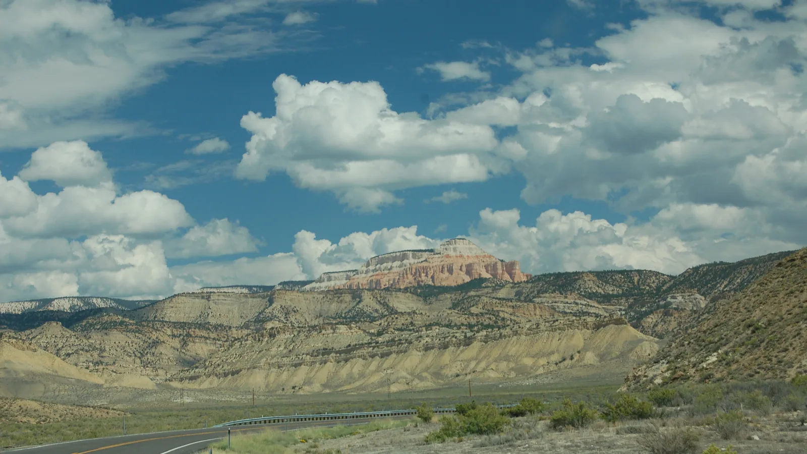
Hero photo: Powell Point above Scenic Byway 12, A. E. Crane, U.S. Department of Transportation, via the National Archives, public domain.