Cedar City Regional sits 31 miles from Duck Creek Village and flies to one city. The five airports that serve the village, what each one connects to, the rental counters at each, and the feet you climb on the last leg.
What Is the Closest Airport to Duck Creek Village, Utah?
Cedar City Regional Airport (CDC) is the closest airport to Duck Creek Village, 31 miles west, a 45 to 60 minute drive on Highway 14. Delta serves it from Salt Lake City and from no other city. St. George Regional (SGU) sits 86 miles out with six nonstop destinations on three airlines. Las Vegas is 211 miles away and carries the widest choice of fares.
| Airport | Distance and drive |
|---|---|
| Cedar City (CDC) | 31 miles, 45 to 60 min |
| Bryce Canyon (BCE) | 46 miles, about 1 hour |
| St. George (SGU) | 86 miles, 1.5 to 2 hours |
| Las Vegas (LAS) | 211 miles, 3.5 to 4 hours |
| Salt Lake City (SLC) | 285 miles, about 5 hours |
Distances come from routing each airport terminal to the inn door. Drive times match the ranges we publish on our getting here page.
Cedar City Regional wins on distance alone
CDC sits on Aviation Way at the north end of Cedar City, a few minutes off I-15. From the rental counter to the village takes 45 minutes in summer and a full hour behind a trailer. Two rental brands work the terminal, Avis/Budget and Enterprise.
The route map is the catch. SkyWest flies the single commercial route out of CDC as Delta Connection, and it goes to Salt Lake City. The federal Essential Air Service program subsidizes that flight. So for anyone who does not start in northern Utah, reaching the closest airport to Duck Creek means two flights and a connection in SLC, with the second leg a 1 hour 17 minute hop in a regional jet.
The terminal also keeps small-airport hours. Commercial doors open at 8:00 am, and the rental counters follow the flight schedule rather than your arrival plans.
Then the last 30 miles do the real work. Highway 14 climbs out of Cedar Canyon, crests a shade under 10,000 feet near milepost 17, and settles onto the plateau at the village. We broke that climb down in the thirty miles up from Cedar City.
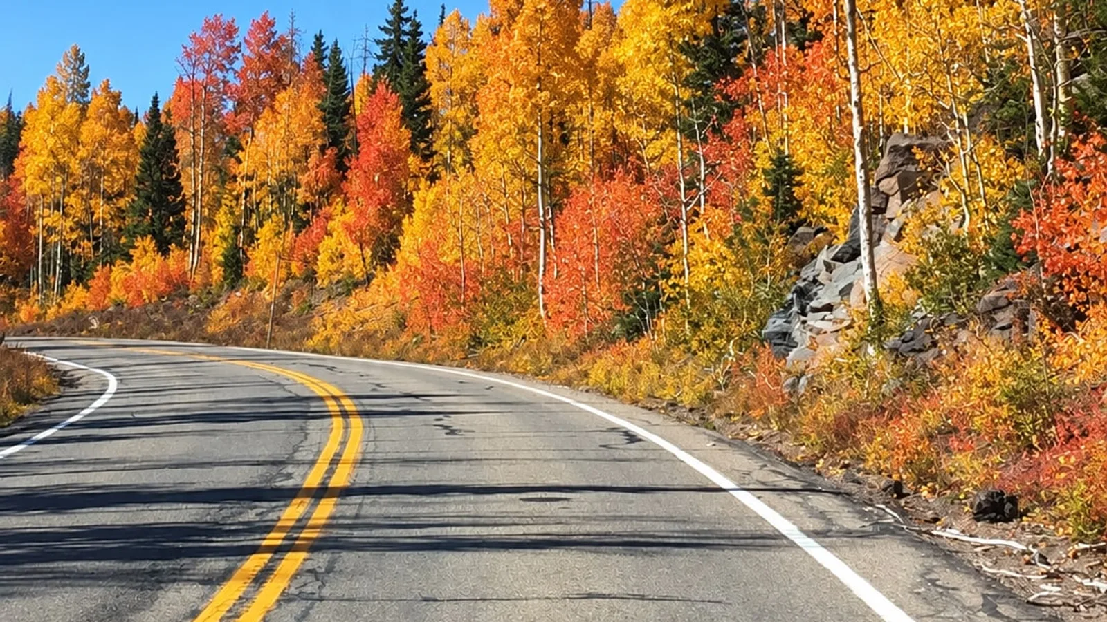
Scenic Byway 14 on Cedar Mountain, the last 30 miles in from Cedar City Regional. Photo from the Duck Creek Village Inn image library.
St. George Regional carries the most flights
| Airport | Nonstop destinations |
|---|---|
| Cedar City (CDC) | Salt Lake City |
| St. George (SGU) | SLC, DEN, PHX, DFW, LAX, ORD |
| Las Vegas (LAS) | Most of North America |
| Salt Lake City (SLC) | Delta hub, worldwide |
| Bryce Canyon (BCE) | None, charter and GA |
SGU replaced the old mesa-top field in January 2011 and has grown hard since. It moved 431,607 passengers in 2025. Three airlines work it: American Eagle to Dallas/Fort Worth and Phoenix, Delta Connection to Salt Lake City, and United Express to Denver and Los Angeles, plus a seasonal Chicago run.
That combination makes SGU the practical answer for most travelers. You trade 55 extra miles of driving against a real shot at a nonstop from your home city, five rental brands inside the terminal (Enterprise, National, Alamo, Budget and Hertz), and a building that stays open from 3:00 am to 1:00 am.
The drive north on I-15 to Cedar City runs about an hour, then Highway 14 east takes another 45 minutes. Call the whole thing an hour and 45 minutes with a stop for groceries in Cedar City, because the village has no full-size store.
Las Vegas trades road time for cheap fares
Harry Reid International sits 211 miles from the village, three and a half to four hours behind the wheel. Nothing in the region beats it on fare or schedule breadth, and plenty of our guests pair a few nights on the Strip with a week in the pines. Read our take on making the drive up from Las Vegas before you book a late flight into LAS.
Salt Lake City is the other big-airport option, 285 miles and about five hours out. It becomes the sensible pick when a Delta hub fare beats everything else, or when you want to see the state on the way down. We covered both routes in the run down from Salt Lake City.
From November into May, check road conditions before you commit to an arrival time from any of these airports. Highway 14 is a plowed state highway, and it still closes for storms.
Every airport here sits below the village
| Airport and elevation | Climb to the village |
|---|---|
| Las Vegas, 2,181 ft | 6,326 ft |
| St. George, 2,884 ft | 5,623 ft |
| Salt Lake City, 4,227 ft | 4,280 ft |
| Cedar City, 5,622 ft | 2,885 ft |
| Bryce Canyon, 7,590 ft | 917 ft |
Duck Creek Village stands at 8,507 feet. Every field that serves it sits lower, so the final leg of each route is a climb. Your body notices on night one, and we covered that in what 8,507 feet does to a first night.
Bryce Canyon Airport is the odd one out. At 7,590 feet it is the single field in southern Utah within 1,000 feet of village elevation, it sits 46 miles east, and Garfield County keeps a 7,395 foot paved runway there that handles jets. No airline serves it. Charter operators and general aviation use it, so treat it as a landing spot for a private aircraft and stop measuring it on the map.
Picked your airport? Have a look at rooms and cabins at the inn and match the dates to your flight.
Quick answers about flying to Duck Creek
What is the closest airport to Duck Creek Village? Cedar City Regional (CDC), 31 miles west, a 45 to 60 minute drive on Highway 14. Its single commercial route goes to Salt Lake City.
Which airport should I choose? St. George (SGU) suits most travelers. Six nonstop destinations, three airlines, five rental brands in the terminal, and a drive under two hours.
Can I reach Duck Creek Village without a car? Rent one. No airline, bus line or scheduled shuttle serves the village on a timetable, and private car services from Cedar City or St. George run by arrangement rather than on a posted schedule.
Is there an airport in Duck Creek Village? There is none. The nearest runway is Bryce Canyon Airport, 46 miles east, with charter and general aviation traffic and no scheduled airline.
How long is the drive from Las Vegas to Duck Creek Village? 211 miles, three and a half to four hours without stops, north on I-15 and then east on Highway 14.