Trip Planning · Duck Creek Journal
How Far Is Duck Creek Village From Flagstaff, Arizona? About 255 Miles and Two Ways Across the Colorado
Duck Creek Village sits about 255 road miles north of Flagstaff, a drive of 4.5 to 5.5 hours on US-89, US-89A and Highway 14. The two routes split at Bitter Springs and land four miles apart, and in summer your phone can change its clock four times on the way.
In this story
Duck Creek Village sits about 255 road miles north of Flagstaff. Plan on 4.5 to 5.5 hours of driving. Take US-89 north past Cameron, cross the Colorado at Page or at Navajo Bridge, meet again in Kanab, and finish on Highway 14. The two routes differ by four miles. In winter, take the lower one through Page.
| The short answer | |
|---|---|
| Road distance | 254 to 258 miles |
| Driving time | 4.5 to 5.5 hours |
| Main roads | US-89, US-89A or Lake Powell, Highway 14 |
| Flagstaff to the inn | About 6,900 ft to 8,600 ft |
| Clock difference this winter | None until March 14, 2027 |
Flagstaff sits high already, and the trip still ends 1,700 feet above downtown. In between, the road spends most of its miles in the desert at 4,000 to 6,000 feet, with towns 25 to 50 miles apart and one fork that matters.
Two routes split at Bitter Springs
Both routes share the first 108 miles. US-89 drops north out of the pines past Cameron and The Gap to Bitter Springs, where the road forks.
| Route from downtown Flagstaff | Miles to the inn |
|---|---|
| US-89 through Page and Big Water | 258 |
| US-89A over Navajo Bridge and Jacob Lake | 254 |
| I-40 west and up through Las Vegas | About 448 |
The Page route stays on US-89, climbs over the Echo Cliffs, crosses the Colorado on the Glen Canyon Bridge below the dam, and enters Utah before Big Water. It never rises above about 6,100 feet between the Flagstaff outskirts and Kanab, and it runs through Page.
The Jacob Lake route turns west on US-89A, crosses the river at Navajo Bridge in Marble Canyon, and runs under the Vermilion Cliffs before a long climb onto the Kaibab Plateau. Jacob Lake sits at about 7,900 feet, a thousand feet above Flagstaff, and then the road drops through Fredonia into Kanab. ADOT keeps US-89A open in winter. SR-67 south to the North Rim does not stay open: the Park Service closes its entrance gate at sunset on November 30, 2026, or after the first big storm.
Ignore the I-40 line unless you want a night in Las Vegas. It adds almost 200 miles.
Elevation from Flagstaff to the inn
Sampling USGS elevation every five miles turns the drive into three parts: a long descent, a desert middle, and a climb at the end.
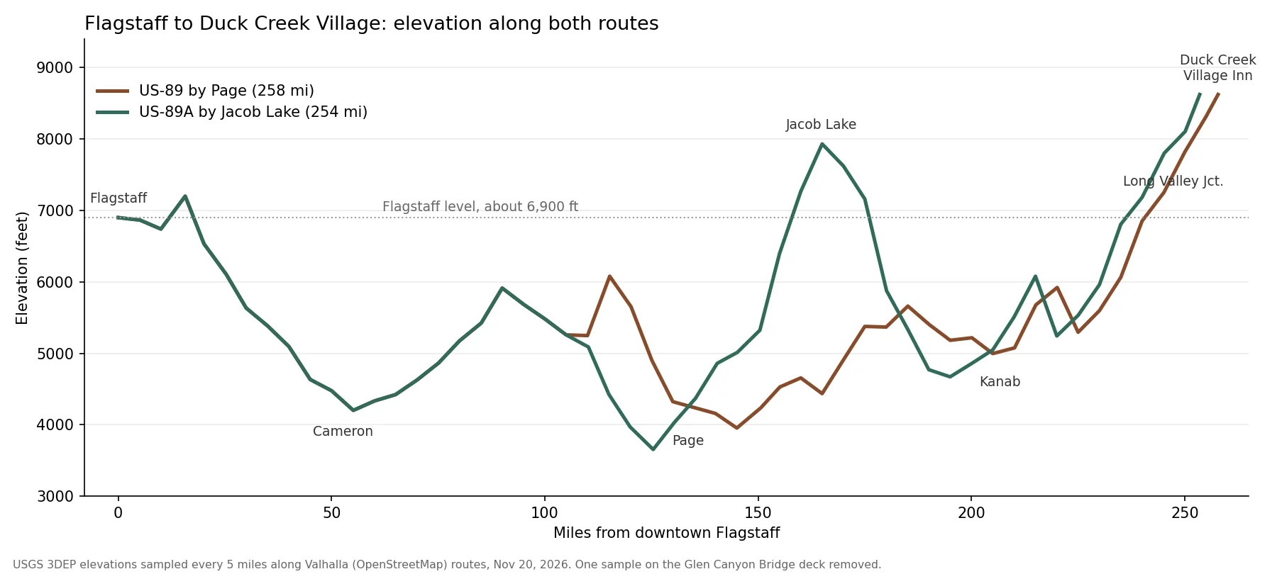
You lose about 2,700 feet in the first 55 miles to the Little Colorado at Cameron. Both routes dip under 4,000 feet near the Colorado River crossings. From Kanab, at about 5,000 feet, US-89 and Highway 14 climb more than 3,500 feet in the last 50 miles. Our Phoenix drive post covers what that thin air does to a loaded engine.
Your clock can change four times in summer
Arizona stays on Mountain Standard Time all year. The Navajo Nation, which US-89 crosses at Cameron and Bitter Springs, follows daylight saving time with Utah. Page sits on land the city got in an exchange with the Navajo Nation, and it keeps Arizona time.
| Summer clock along the Page route | Time zone |
|---|---|
| Flagstaff | Arizona time, Utah minus one hour |
| Navajo Nation stretch, Cameron and Bitter Springs | Same as Utah |
| Page | Arizona time again |
| Utah line to the inn | Utah time |
A phone that follows the towers can flip back and forth on that drive. Set your plans to Utah time and ignore the phone until Kanab. From the first Sunday in November to the second Sunday in March, every stop on the route shows the same time. Our daylight saving post covers Utah’s side of the rule.
Flagstaff snow and Duck Creek snow
Flagstaff people know mountain winter, and the numbers back that up.
| Winter numbers | |
|---|---|
| Flagstaff airport snowfall, 7,003 ft | 90.1 in a year, 1991 to 2020 |
| Alton, 12 miles east of the village | 77.5 in a year, 1991 to 2020 |
| Blowhard Mountain, 12 miles west | 215 in, median of 1964 to 2002 |
| Flagstaff January | 43.4F high, 17.6F low |
| Village-height January | About 40F high, 9 to 17F low |
No gauge measures snowfall in Duck Creek Village itself, as our snow post explains. The two stations around it bracket Flagstaff, and the January afternoons land within four degrees of each other. A Flagstaff car with good tires and a scraper is ready for the village. The desert middle sits 2,000 to 3,000 feet below either end. Jacob Lake, the Highway 14 climb and the first miles out of Flagstaff make up the high ground on this drive.
Fuel and food stops between Flagstaff and Kanab
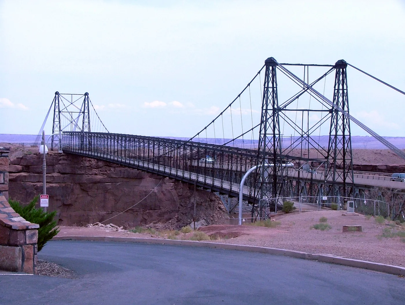
Cameron, at mile 53, has the trading post with fuel, a restaurant and a store, and the old suspension bridge stands next to the highway bridge. On the Page route, Page at mile 134 has fuel, food and motels. On the Jacob Lake route, Jacob Lake Inn at mile 165 lists gas, a cafe and rooms, open seven days a week from 6:30 am to 9:30 pm. The North Rim’s own gas station closed for the season on September 19.
Both routes meet in Kanab, about 50 miles short of the inn, with groceries and a hospital. Our Kanab guide covers an hour there. From Kanab, US-89 runs north to Long Valley Junction, and Highway 14 climbs the final 10 miles west to the village.
Coming up for a weekend in the pines? Our cabins and rooms sit on Highway 14 at the top of that last climb.
Quick answers about the Flagstaff drive
- How long is the drive from Flagstaff to Duck Creek Village?
About 255 miles and 4.5 to 5.5 hours of driving, plus stops.
- Which route from Flagstaff is shorter?
US-89A over Navajo Bridge and Jacob Lake runs 254 miles to the 258 through Page. Past Bitter Springs the Page route tops out near 6,100 feet and the Jacob Lake route near 7,900. In snow, pick the Page route.
- Is there a time change between Flagstaff and Duck Creek Village?
From March to early November, Utah runs one hour ahead of Flagstaff. In winter the clocks match.
- Can you stop at the North Rim on the way?
Not this winter. The North Rim entrance gate on SR-67 closes at sunset on November 30, 2026, or sooner after the first major snowstorm.
- Does Duck Creek Village get more snow than Flagstaff?
The village has no snowfall gauge. Flagstaff’s airport averages 90.1 inches a year, Alton below the village 77.5, and Blowhard Mountain above it a median 215.
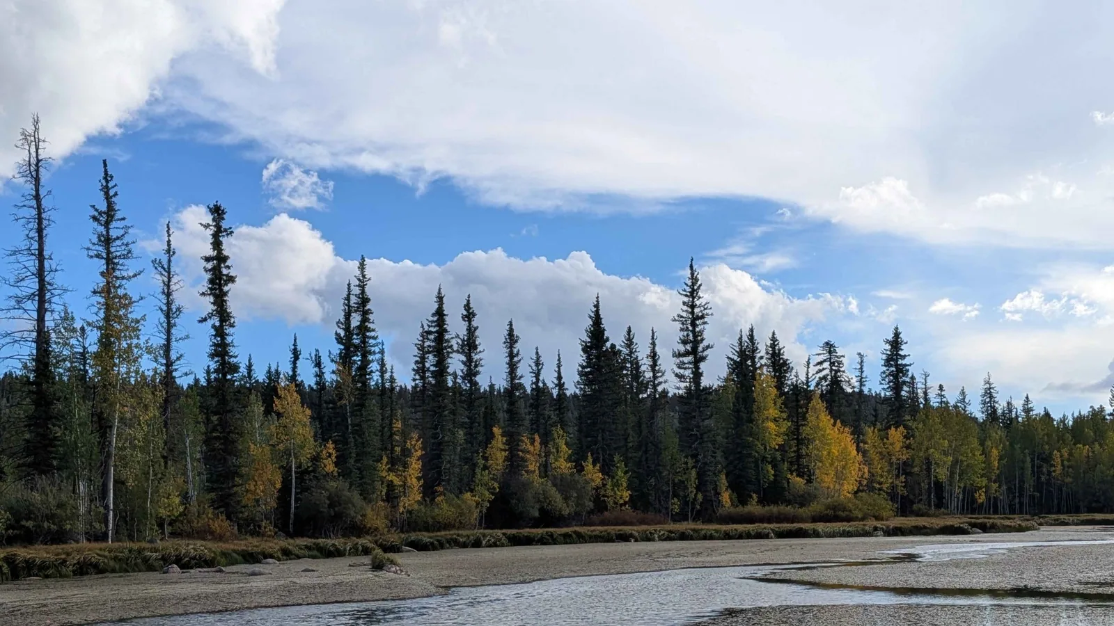 Trip Planning
How Far Is Duck Creek Village From Phoenix?
Duck Creek Village sits about 400 road miles north of Phoenix, close to eight hours of driving by way of Flagstaff, US-89 and Highway 14. The route through Las Vegas adds 85 miles. You finish 7,400 feet higher than you started, on the highest ground of the whole drive.
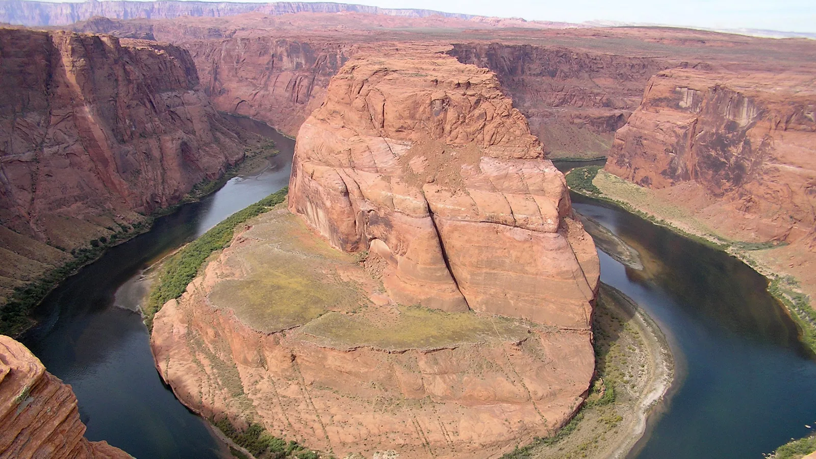 Things to Do
Horseshoe Bend From Duck Creek Village: Is the 127 Mile Drive Worth It?
Horseshoe Bend sits 127 road miles from Duck Creek Village, about 2 hours 45 minutes each way on US-89 through Kanab and Page. Parking costs $10 a car, the walk runs 1.5 miles round trip, and Arizona clocks run an hour behind Utah until November 1.
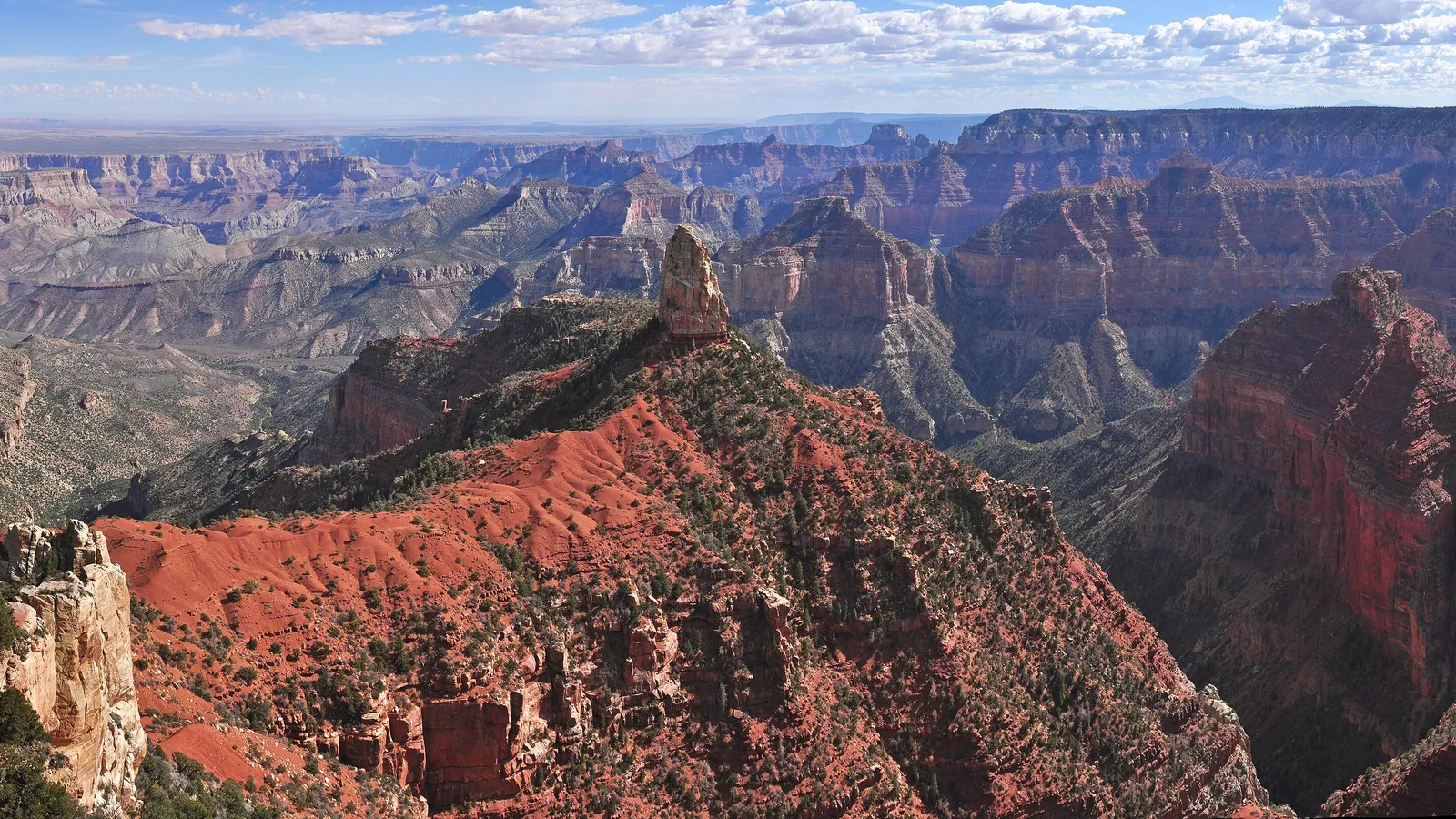 Trip Planning
How Far Is Duck Creek Village From the Grand Canyon North Rim?
Duck Creek Village sits 131 road miles and about three hours from the Grand Canyon North Rim. The 2026 season closes October 15, no lodging stands inside the park, and no drinking water comes out of any tap on the rim. The route, the legs, and what to carry.
Book the basecamp
When the trip idea is taking shape, Duck Creek Village Inn makes an easy base between slower mountain time and bigger Southern Utah days.