Trip Planning · Duck Creek Journal
Panguitch, Utah From Duck Creek Village: The Red Brick Town 39 Miles Down US-89
Panguitch is the Garfield County seat, a town of 1,725 people at about 6,600 feet on US-89. From Duck Creek Village Inn it sits 38.6 road miles away, about 50 minutes, east on Highway 14 and north through Hatch. Expect red brick, a grocery and cold nights.
In this story
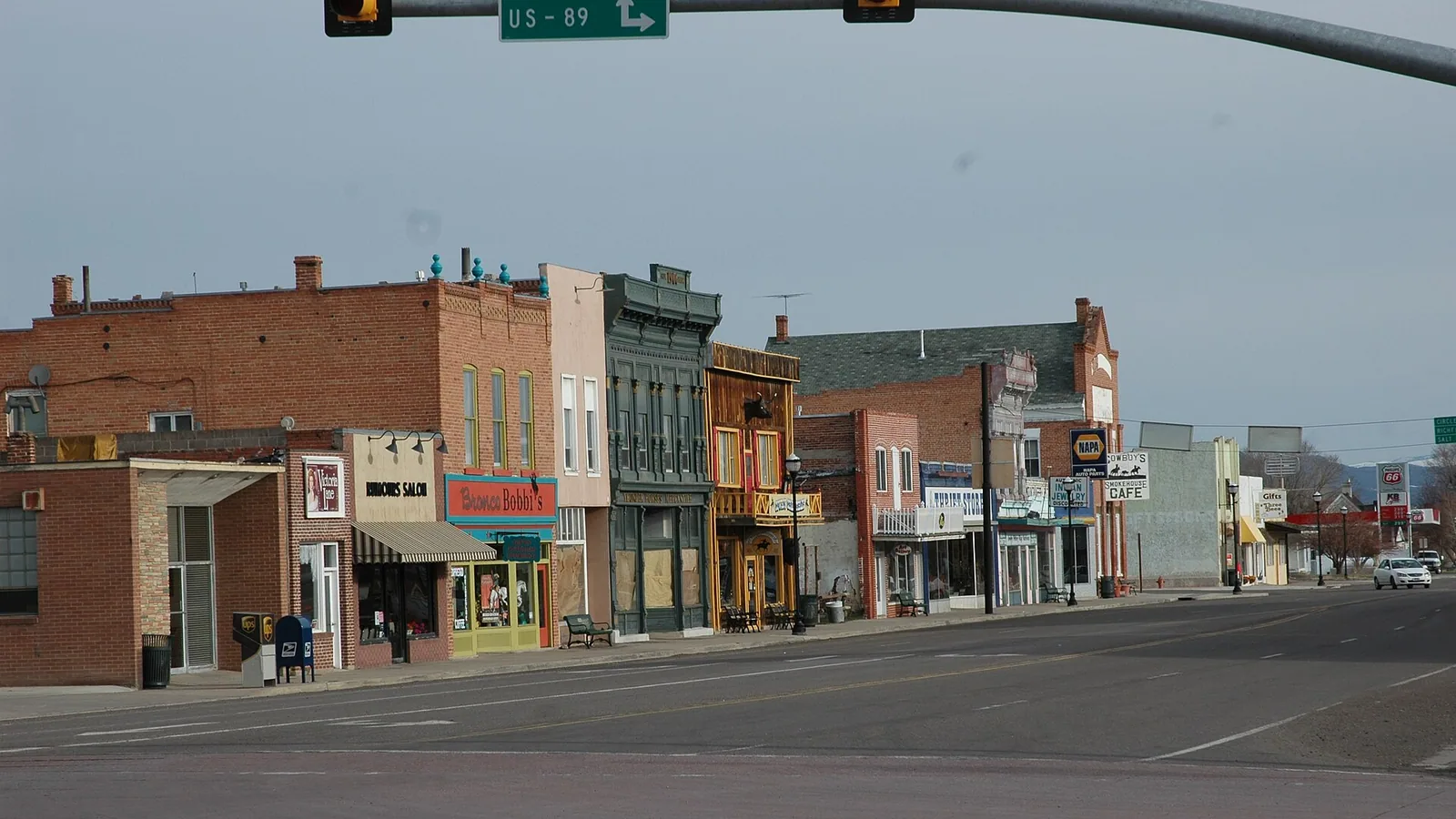
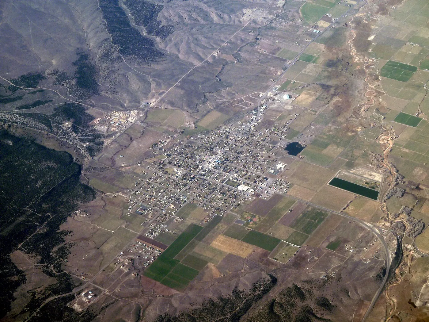
Panguitch is the county seat of Garfield County, Utah, a town of 1,725 people (2020 Census) at about 6,600 feet on US-89. From Duck Creek Village Inn it sits 38.6 road miles away, about 50 minutes: east on Highway 14 to Long Valley Junction, then north on US-89 through Hatch. It holds a full grocery, a 24-hour emergency room and a district of red brick houses on the National Register.
| Panguitch, Utah | |
|---|---|
| County | Garfield, and its county seat |
| Population | 1,725 people, 732 homes (2020 Census) |
| Elevation | About 6,630 ft, some 1,800 ft below the inn |
| Settled | March 1864, resettled March 1871 |
| From the inn | 38.6 miles, about 50 minutes |
For most people who stay with us, Panguitch is the town on the way to Bryce Canyon. It earns a stop of its own. Pioneers walked across the snow on their quilts to keep it alive, and later generations built it out of red brick made near town.
The drive from Duck Creek Village to Panguitch
| Duck Creek to Panguitch | |
|---|---|
| Route | Highway 14 east, US-89 north |
| Turn at | Long Valley Junction |
| Pass through | Hatch, at 23.3 miles |
| Garfield County line | Road mile 15.4 |
| Panguitch to Bryce visitor center | 24.7 miles, about 36 minutes |
Highway 14 runs east from the village through the pines and drops to US-89 at Long Valley Junction. You turn north there and follow the Sevier River valley downstream. You cross into Garfield County 15.4 miles from the inn, pass through Hatch at 23.3 miles, and reach Main Street in Panguitch at 38.6.
The road loses about 1,800 feet on the way. The village sits in the forest above 8,000 feet, and Panguitch sits on an open valley floor of irrigated fields. Before a winter trip, check our road conditions page for both ends.
The Quilt Walk and the town that came back
In March 1864, 54 families led by Jens Neilson came over from Parowan and other settlements and built a fort on what is now the school square. They called the place Fairview. The first crops froze before they ripened, and by winter the settlers were eating frozen wheat.
Seven men set out for Parowan to bring back grain. Deep snow stopped them on foot, so they laid their quilts on the snow and walked across them in a line, again and again. They crossed the mountain that way. Parowan’s settlers fed them and sent them home with grain. Utah’s state history office tells it as the Quilt Walk, and the town still marks it every June. The 2027 Quilt Walk Festival runs June 9 to 12, with registration opening April 1, 2027.
The settlement did not last its first round. Settlers abandoned it in May 1866, during the Black Hawk War. George W. Sevy of Harmony led a new company back in March 1871, and they found the old cabins standing. The town took the name Panguitch from the lake to the southwest, a word the state history office translates as “big fish.” When the legislature created Garfield County on March 9, 1882, Panguitch became its seat. It incorporated in 1899 with 500 people and reached its peak, 2,500, in 1940.
Red brick across the historic district
| Panguitch Historic District | |
|---|---|
| On the National Register | November 16, 2006 |
| Buildings counted | 642, with 379 contributing |
| Main building years | 1890 to 1930 |
| Local brick | Fired near town, 1915 to 1940 |
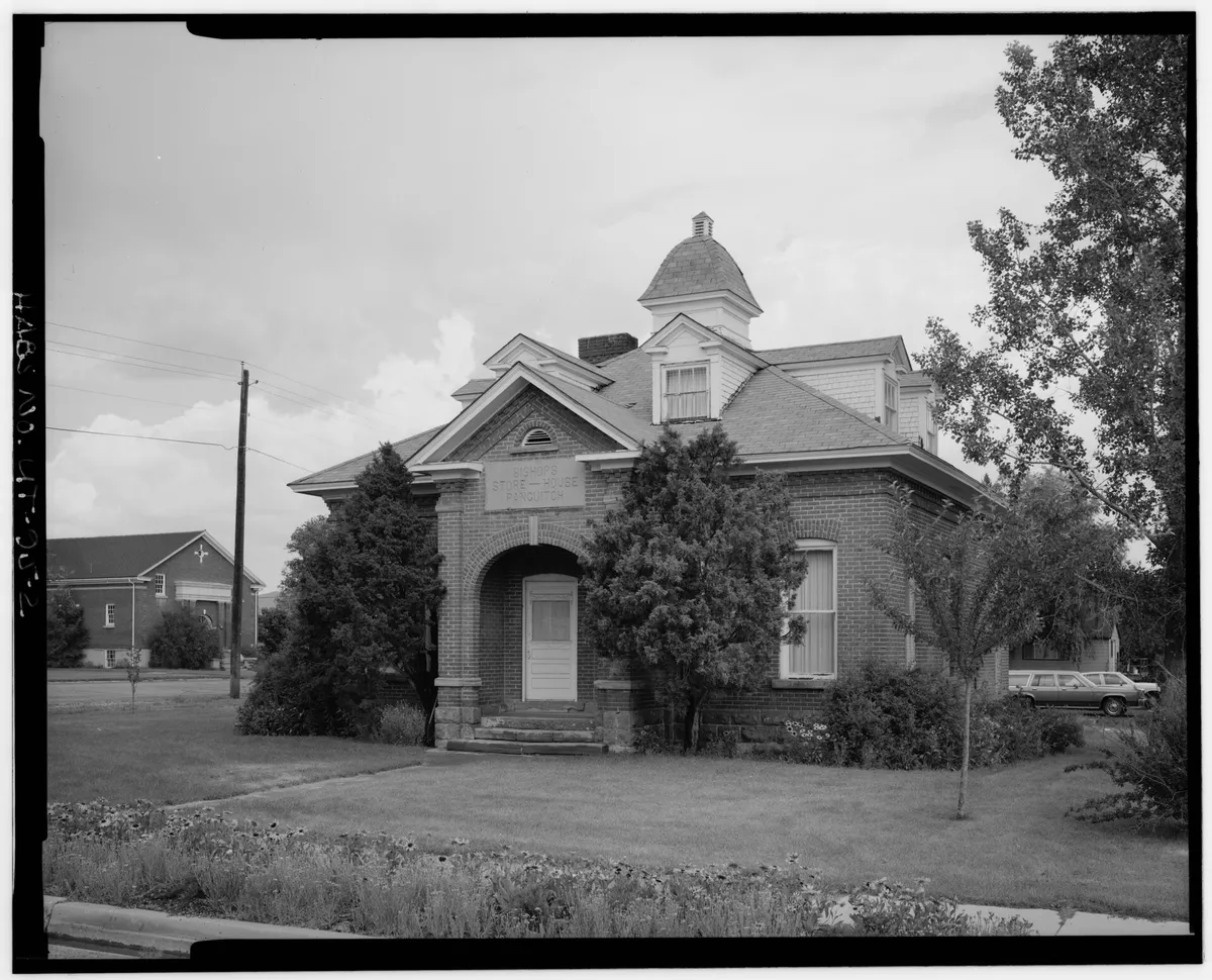
Red brick covers most buildings in the district. The nomination describes a deep red brick with soft edges, made near Panguitch, and a local house type: a square plan, a pyramid roof and bays that push out from the walls. The nomination names the town’s 1907 church tithing office as a possible model for that look. The grandest house in the district, the 1896 Ira Hatch House at 329 East Center, went up with a square tower.
Panguitch in November and winter
| Panguitch weather, 1991 to 2020 normals | |
|---|---|
| November | High 50.3F, low 15.5F |
| January | High 39.2F, low 8.1F |
| Nights at or below freezing | About 226 a year |
| Snow in a year | 24.7 in |
Lower ground does not mean warmer nights here. Panguitch sits about 1,800 feet below the village, yet its November normal low of 15.5F runs about eight degrees colder than the 24F our mountain stations average. Cold air drains downhill after dark and pools on flat valley ground, the same pattern our November post found in the meadows. Afternoons run a degree or two warmer than ours.
Snow runs the other way. Panguitch averages 24.7 inches a year, while Alton, the closest long snow record east of the village, averages 77.5. A dry Main Street in Panguitch tells you little about Highway 14, so check the mountain before you head home.
Joe’s Main Street Market at 10 South Main posts its hours as 7 am to 9 pm Monday through Saturday, 10 am to 6 pm on Sunday. Garfield Memorial Hospital at 200 North 400 East runs a 24-hour emergency department, and our hospital guide compares it with Cedar City’s. In February the town holds an ice fishing derby at Panguitch Lake, up the hill to the southwest.
Quick answers about Panguitch, Utah
- Where is Panguitch, Utah?
Panguitch sits on US-89 in Garfield County, southern Utah, 24.7 road miles from the Bryce Canyon visitor center and 38.6 road miles northeast of Duck Creek Village.
- How do you pronounce Panguitch?
Wikipedia gives it as PANG-gwitch. The name comes from a Southern Paiute word that the state history office translates as “big fish.”
- What is Panguitch known for?
Red brick houses, the 1864 Quilt Walk story and its June festival, and its spot on the road to Bryce Canyon.
- Is Panguitch colder than Duck Creek Village?
At night, yes. Panguitch averages a 15.5F low in November against about 24F at the village-height stations, though it gets far less snow.
- Is there a hospital in Panguitch?
Yes. Garfield Memorial Hospital at 200 North 400 East runs a 24-hour emergency department.
Panguitch works best as half a day on a Bryce trip, and the climb home ends in the pines at 8,400 feet. Find a place to stay in our cabins.
 Trip Planning
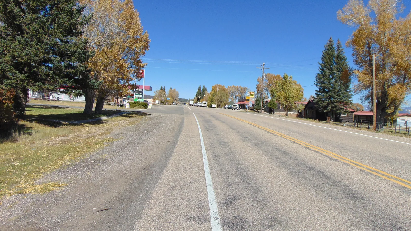
Hatch, Utah: The Sevier River Town 23 Miles From Duck Creek Village, and What Stays Open in Winter
Hatch is a Garfield County town of 132 people on US-89, 23.3 miles and about 31 minutes from Duck Creek Village by Highway 14. It sits near 6,930 feet, where Mammoth Creek joins the Sevier River, on the drive to Bryce Canyon. Most of its kitchens shut after October.
 Things to Do
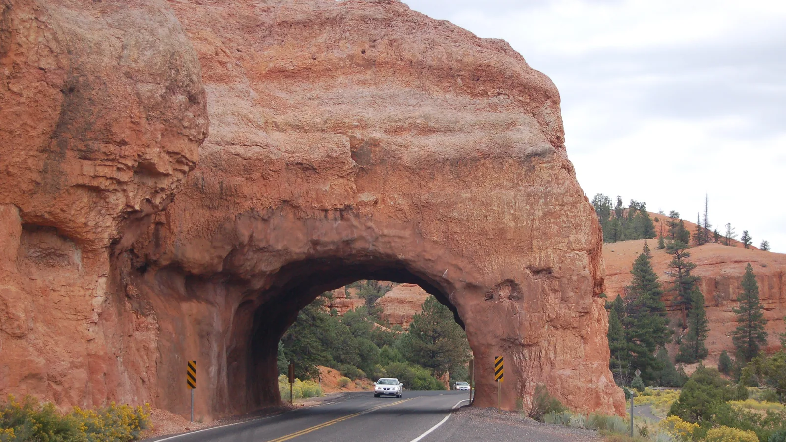
Red Canyon, Utah: The Free Hoodoos 35 Miles From Duck Creek Village
Red Canyon is a stretch of orange Claron limestone hoodoos on Scenic Byway 12 in Dixie National Forest, about 35 miles and 50 minutes from Duck Creek Village on the way to Bryce Canyon. There is no entrance fee, the trailheads start at the visitor center lot, and the two rock tunnels sit a mile up the road.
 Trip Planning
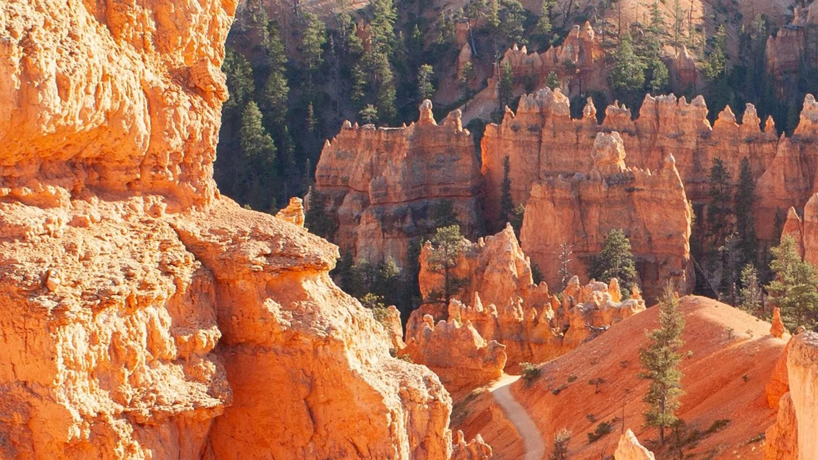
How Far Is Duck Creek Village From Bryce Canyon National Park?
Duck Creek Village sits 48.6 miles from the Bryce Canyon visitor center, about an hour and seven minutes on pavement the whole way. The three roads, the fuel stops, the 2026 fees, and the shuttle hours that change on September 21.
Book the basecamp
When the trip idea is taking shape, Duck Creek Village Inn makes an easy base between slower mountain time and bigger Southern Utah days.