Trip Planning · Duck Creek Journal
Hatch, Utah: The Sevier River Town 23 Miles From Duck Creek Village, and What Stays Open in Winter
Hatch is a Garfield County town of 132 people on US-89, 23.3 miles and about 31 minutes from Duck Creek Village by Highway 14. It sits near 6,930 feet, where Mammoth Creek joins the Sevier River, on the drive to Bryce Canyon. Most of its kitchens shut after October.
In this story
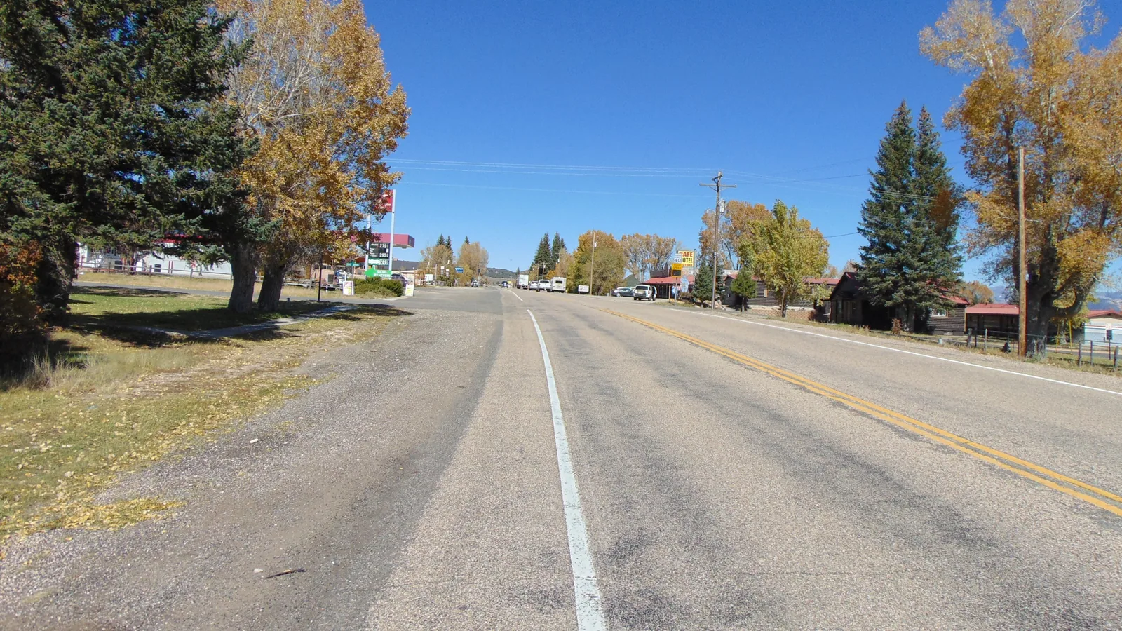
Hatch is a Garfield County town of 132 people on US-89, 23.3 miles and about 31 minutes from Duck Creek Village by Highway 14 and US-89. It sits near 6,930 feet, 1,500 feet below the village, where Mammoth Creek meets the Sevier River. Hatch lies on the road to Bryce Canyon, and most of its kitchens shut for the season after October.
The 2020 Census counted 96 homes. Add a Sinclair station, several motels and a handful of cafes on US-89, which doubles as Main Street. You pass through it on the way to Bryce, to Red Canyon and to Panguitch. A stop here in summer means a burger and a coffee, and in November it takes a plan.
| Hatch at a glance | |
|---|---|
| From the inn | 23.3 miles, about 31 minutes |
| Route | Highway 14 east, then US-89 north |
| Elevation | About 6,930 feet |
| Population | 132 (2020 Census) |
| County | Garfield, one county north of the village |
| Settled | 1872, incorporated 1934 |
Driving from Duck Creek Village down to Hatch
Head east on Highway 14 out of the village and drop to the US-89 junction at Long Valley. Turn left onto US-89 and follow the valley north into town. The whole drive loses about 1,500 feet, and the standard atmosphere lapse rate puts Hatch about 5 degrees warmer than the village at the same hour.
| Distances from Hatch | |
|---|---|
| Panguitch | 15 miles, about 19 minutes north |
| Bryce Canyon visitor center | 26 miles, about 38 minutes |
| Duck Creek Village | 23.3 miles, about 31 minutes |
Hatch sits about a third of the way along the 49-mile route from the inn to the Bryce Canyon visitor center. Our Bryce Canyon drive guide covers the rest, and the free hoodoos at Red Canyon line Highway 12, the same road Bryce traffic takes. That makes Hatch the natural spot for a coffee on the way out and dinner on the way back, as long as the season lines up.
Hatch restaurants and motels after October
Hatch runs on summer traffic. Every Hatch kitchen we found with a posted season ends it in October or November, and the town’s own business directory lists the Hatch Station Cafe as April to October.
| Hatch kitchens, as posted November 2 | Season |
|---|---|
| Red Dirt Diner, 586 US-89 | April to November 2026, Thu to Mon, 4 to 9 pm |
| Hatch Station Cafe, 177 S Main | April to October |
| Galaxy Diner, 216 N Main | Shut, motel open all year |
| Sevier Coffee Co., 16 N Main | Shut for the season October 25 |
| Outlaw Saloon, 138 N Main | May to October |
The Galaxy Diner, the chrome and checkerboard building on the north end of Main, posts a closed notice on its own site, and its motel rooms stay open all year. Riverside Ranch, the RV park and motel a two-minute walk from Red Dirt Diner, calls itself seasonal. For fuel, the town lists a Sinclair at 182 South Main with 8 am to 10 pm hours. Call ahead before you count on any of them.
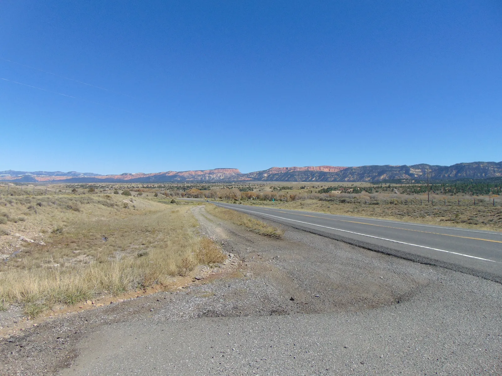
Mammoth Creek meets the Sevier River just south of town
Meltiar Hatch settled here in 1872, at the head of the Sevier River near the junction of Mammoth and Asay creeks, by the town’s own history. The town still carries his name.
Mammoth Creek runs more than 20 miles from Mammoth Summit near Brian Head, through Mammoth Valley, and joins the Sevier about 1.7 miles south of the town center. Asay Creek joins about 5 miles south. That second creek ties Hatch to Duck Creek Village. At normal flow, all of Duck Creek drops into sinkholes at the edge of the village, travels underground for about 68 hours, and comes back up at Lower Asay Spring. Our post on where Duck Creek starts and ends maps the route. Part of the river flowing past Hatch began as the spring in Duck Creek Pond.
| Sevier River at Hatch, USGS gage | |
|---|---|
| Record | 101 years, since 1915 |
| Median flow, November 1 | 69 cubic feet per second |
| October 31, 2026 | 94 cubic feet per second |
| November 1, 2026 | 160 cubic feet per second |
| November 2, 10:15 am | 168, provisional |
The river ran more than double its median for the date on the first two days of November. Mammoth Creek, above the West Hatch ditch, read about 70 cubic feet per second at the same hour. USGS posts the live reading online, so check it before you drive down with a trout rod.
Mammoth Creek carries wild brown trout and stocked rainbows, and the state’s Mammoth Creek Fish Hatchery sits on the creek near town. In 2002 the hatchery picked up whirling disease, and USGS dye tests later showed creek water sinking into fractured basalt 3,000 feet upstream and surfacing in the hatchery springs about seven and a half hours later. The Utah Division of Wildlife Resources says most of its hatcheries take visitors by appointment only, so call before you turn in. Our Duck Creek fishing guide covers the water closer to the cabins.
Quick answers about Hatch, Utah
- Is Hatch on the way to Bryce Canyon from Duck Creek Village?
Yes. The fastest route from the inn to the Bryce Canyon visitor center runs north on US-89 straight through Hatch, then east on Highway 12.
- Is there anywhere to eat in Hatch in winter?
Few places. Red Dirt Diner posts an April to November 2026 season, Thursday to Monday evenings, and the other Hatch kitchens we checked either end their season in October or post a closed notice.
- How did Hatch, Utah get its name?
From Meltiar Hatch, who settled at the head of the Sevier River in 1872. The town incorporated under his name in 1934.
- Is Hatch in the same county as Duck Creek Village?
No. Hatch belongs to Garfield County, and Duck Creek Village sits in Kane County.
Our cabins and rooms in Duck Creek Village sit 23 miles up Highway 14 from Hatch, close enough for a Bryce Canyon day with a stop at the Sevier on the way home.
 Things to Do
Where Does Duck Creek Start and End? The Spring, the Sinks and the Sevier
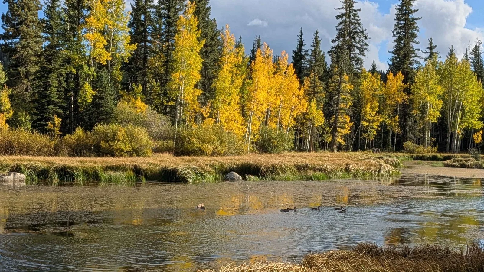
Duck Creek starts at Duck Creek Spring, a rise pool inside Duck Creek Pond at 8,550 feet, and runs about 3 miles east before the whole stream drops into the Duck Creek Sinks at the edge of the village. The water comes back up at Lower Asay Spring, joins the Sevier River and never reaches the sea.
 Trip Planning
How Far Is Duck Creek Village From Bryce Canyon National Park?
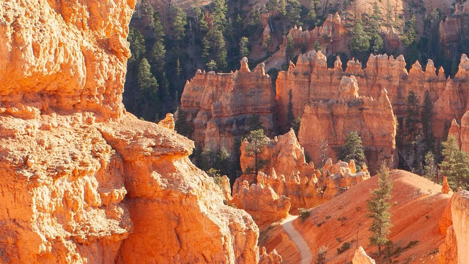
Duck Creek Village sits 48.6 miles from the Bryce Canyon visitor center, about an hour and seven minutes on pavement the whole way. The three roads, the fuel stops, the 2026 fees, and the shuttle hours that change on September 21.
 Things to Do
Red Canyon, Utah: The Free Hoodoos 35 Miles From Duck Creek Village
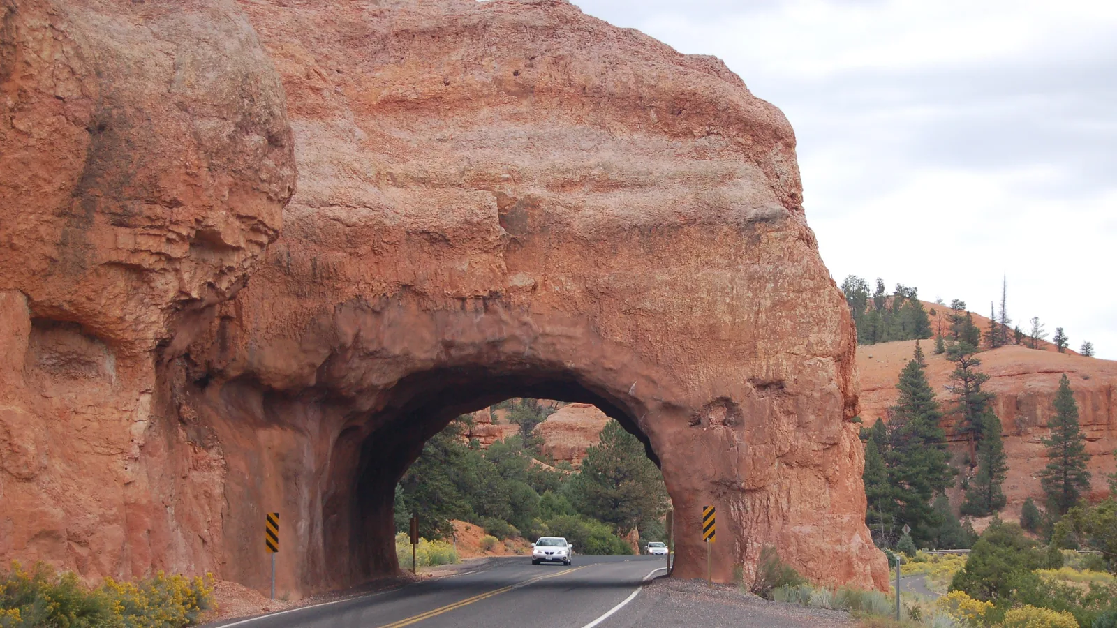
Red Canyon is a stretch of orange Claron limestone hoodoos on Scenic Byway 12 in Dixie National Forest, about 35 miles and 50 minutes from Duck Creek Village on the way to Bryce Canyon. There is no entrance fee, the trailheads start at the visitor center lot, and the two rock tunnels sit a mile up the road.
Book the basecamp
When the trip idea is taking shape, Duck Creek Village Inn makes an easy base between slower mountain time and bigger Southern Utah days.