Trip Planning · Duck Creek Journal
Where Is Cedar Mountain, Utah? The High Country on Highway 14, and the Nine Summits With the Name
Cedar Mountain is the name southern Utah gives the high country east of Cedar City that Highway 14 climbs onto, home to Duck Creek Village at 8,507 feet in Kane County. USGS maps also list nine summits called Cedar Mountain across Utah. Two stand in Iron County, west of the village, and Kane County has none.
In this story
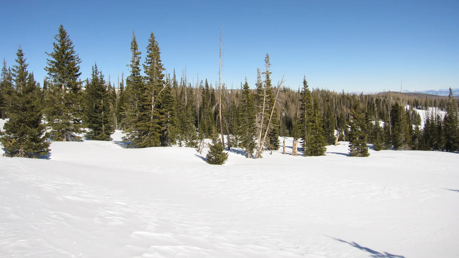
Cedar Mountain is the high country east of Cedar City that Highway 14 climbs onto, the forested plateau where Duck Creek Village sits at 8,507 feet in Kane County. Kane County, the Census Bureau and Cedar City’s sheep ranchers all use the name for that country. USGS maps add a twist: nine summits in Utah carry the name, and none of them stands in Kane County.
| Cedar Mountain, the Highway 14 sense | |
|---|---|
| Where | East of Cedar City, along Highway 14 |
| Counties | Iron on the west, Kane on the east |
| Duck Creek Village | 29.4 road miles from Cedar City |
| Kane County service district | 94 square miles, since 1995 |
| Census voting district | 411 residents, 2,063 homes (2020) |
How Kane and Iron counties use the name Cedar Mountain
Kane County created the Cedar Mountain Service District in 1995 to run fire and ambulance service. The county added snow removal in 2004 and dust control in 2021. Its boundary takes in 94 square miles of federal, state and private land on both sides of Highway 14, from the Iron County line east to US-89 at Long Valley Junction. That boundary gives the name a legal outline, and Duck Creek Village sits inside it.
The 2020 Census drew a Cedar Mountain voting district around the village too. It counted 411 residents and 2,063 housing units.
On the Iron County side, the name belongs to the ranchers. Shepherds have walked community herds down from Cedar Mountain through Cedar City since 1870, according to the Utah Humanities Beehive Archive. Cedar City News counted about 6,000 sheep coming off the Cedar Mountain and Webster Flat range on November 1, 2025, and the drive still followed Main Street through town. The festival’s sheep parade, set for October 24 this year, uses the same street, and our guide to the Livestock and Heritage Festival covers that weekend.
The cedar in Cedar City is a juniper. The town’s settlers arrived in 1851 and named it for the junipers around them, trees that early reports called cedars.
Where the USGS puts the summits named Cedar Mountain
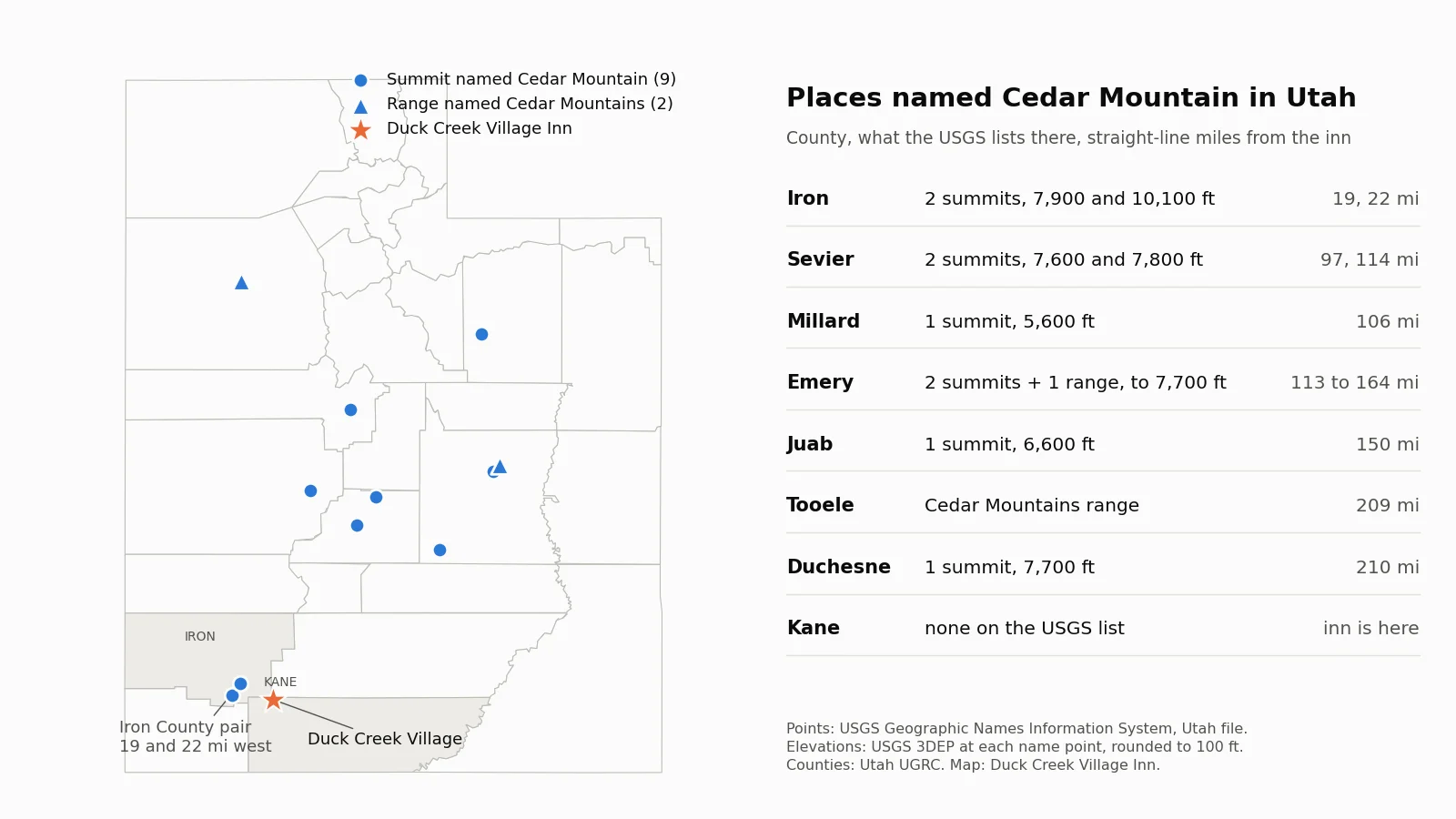
The federal place name file lists nine summits called Cedar Mountain in Utah, plus two ranges called the Cedar Mountains. Kane County has none of them. The two nearest stand in Iron County, both west of the village and both closer to Cedar City than to Duck Creek.
The lower one stands above Cedar Canyon. Its USGS point sits 0.6 miles from Highway 14, about 6 road miles up from Cedar City, and reads about 7,900 feet on the USGS elevation service. The higher one sits about 8 miles south of downtown Cedar City at about 10,100 feet, on the same map point the USGS gives Three Knolls, and the USGS map sheet that covers it carries the name Cedar Mountain as well. From the inn they sit 19 and 22 miles away in a straight line.
The other Cedar Mountains in Tooele and Emery counties
| The two you may have meant | |
|---|---|
| Cedar Mountain Wilderness | Tooele County, 100,000 acres, since 2006 |
| Wilderness high point | 7,700 ft, 50 mi west of Salt Lake City |
| Cedar Mountain day-use site | Emery County, over 7,600 ft |
| Day-use access | 22 mi east of Huntington |
| Cedar Mountain Airstrip | Emery County, 7,536 ft |
The Tooele County range runs 32 miles north to south, never more than 7 miles wide, just south of Interstate 80. Congress designated the Cedar Mountain Wilderness in January 2006, and the BLM describes a thriving herd of wild horses there. From Duck Creek Village it sits 209 miles away in a straight line.
The Emery County Cedar Mountain rises above the San Rafael Swell. The BLM day-use site near the top sits among large pinyon pines at more than 7,600 feet, with views down to the Swell and out to the Henry and La Sal mountains. The BLM Price Field Office gives directions at 435-636-3600. The Cedar Mountain Formation, the Early Cretaceous rock layer that produced Utahraptor, takes its name from this mountain after William Lee Stokes described it in 1944.
How high Cedar Mountain is and which side is steep
| The climb onto Cedar Mountain | |
|---|---|
| Cedar City | 5,844 ft |
| Midway Summit on Highway 14 | 9,896 ft, about 17 road miles up |
| West side climb | About 4,050 ft, 240 ft per mile |
| Long Valley Junction at US-89 | About 7,460 ft |
| East side descent | About 2,430 ft over 23 miles |
Highway 14 answers the height question better than any single peak. From Cedar City the road gains about 4,050 feet in the 17 miles to Midway Summit, the high point of the drive. East of the summit the grade runs at less than half that pitch. You drop about 1,390 feet to Duck Creek Village in 12.5 miles, then another 1,040 feet in the 10.7 miles to US-89 at Long Valley Junction.
The National Park Service at Cedar Breaks explains the shape. For about 10 million years, earthquakes on the Hurricane Fault have dropped the land to the west and lifted the Markagunt Plateau on the east side. The steep face looks down on Cedar City, and the gentle back slope carries Highway 14 east past the village. Our Cedar City to Duck Creek Village guide walks through the same climb in the other direction, crest and all.
A night up top makes the plateau easier to read than any map. Our rooms sit in Duck Creek Village on Highway 14, 8,507 feet up on the Kane County side of Cedar Mountain.
Quick answers about Cedar Mountain, Utah
- Is Duck Creek Village on Cedar Mountain?
Yes. The village sits inside Kane County’s Cedar Mountain Service District and the Census Bureau’s Cedar Mountain voting district, at 8,507 feet on Highway 14.
- Is Cedar Mountain over 10,000 feet?
The higher Iron County summit named Cedar Mountain reads about 10,100 feet at its USGS point. Highway 14 stays below that and tops out at Midway Summit, 9,896 feet.
- Is there snow on Cedar Mountain right now?
Our snow report tracks current snow depth on the plateau from the USDA SNOTEL stations around the village.
- Is there an airport on Cedar Mountain?
The Cedar Mountain Airstrip on airport lists sits in Emery County at 7,536 feet, about 160 miles from the inn. Near Duck Creek Village, three private use strips sit within 8 miles, and our closest airport guide covers them.
- Is Cedar Mountain the same place as Cedar Breaks?
Cedar Breaks National Monument is a separate place on the same plateau, an amphitheater in Iron County off Highway 148, north of Highway 14.
 Trip Planning
How High Is Duck Creek Village, Utah? The Elevation and What It Changes
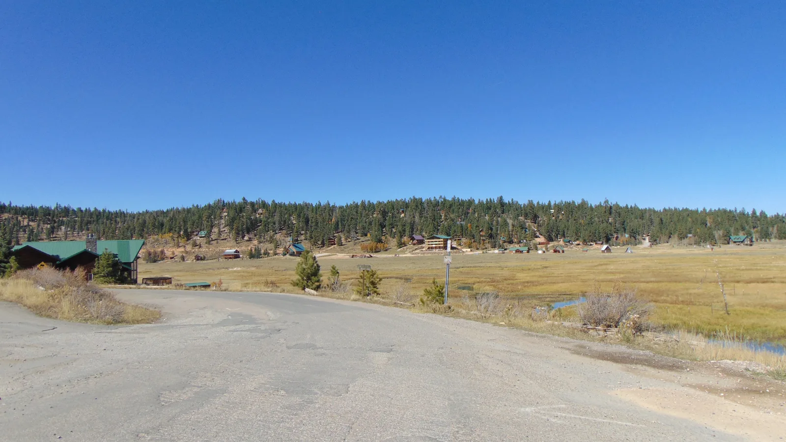
Duck Creek Village sits at 8,507 feet, higher than the Bryce Canyon rim at Sunset Point and 4,600 feet above the floor of Zion Canyon. The climb up Highway 14, the 28 degree gap with St George, and what the first night at altitude asks of you.
 Trip Planning
How Many People Live in Duck Creek Village, Utah?
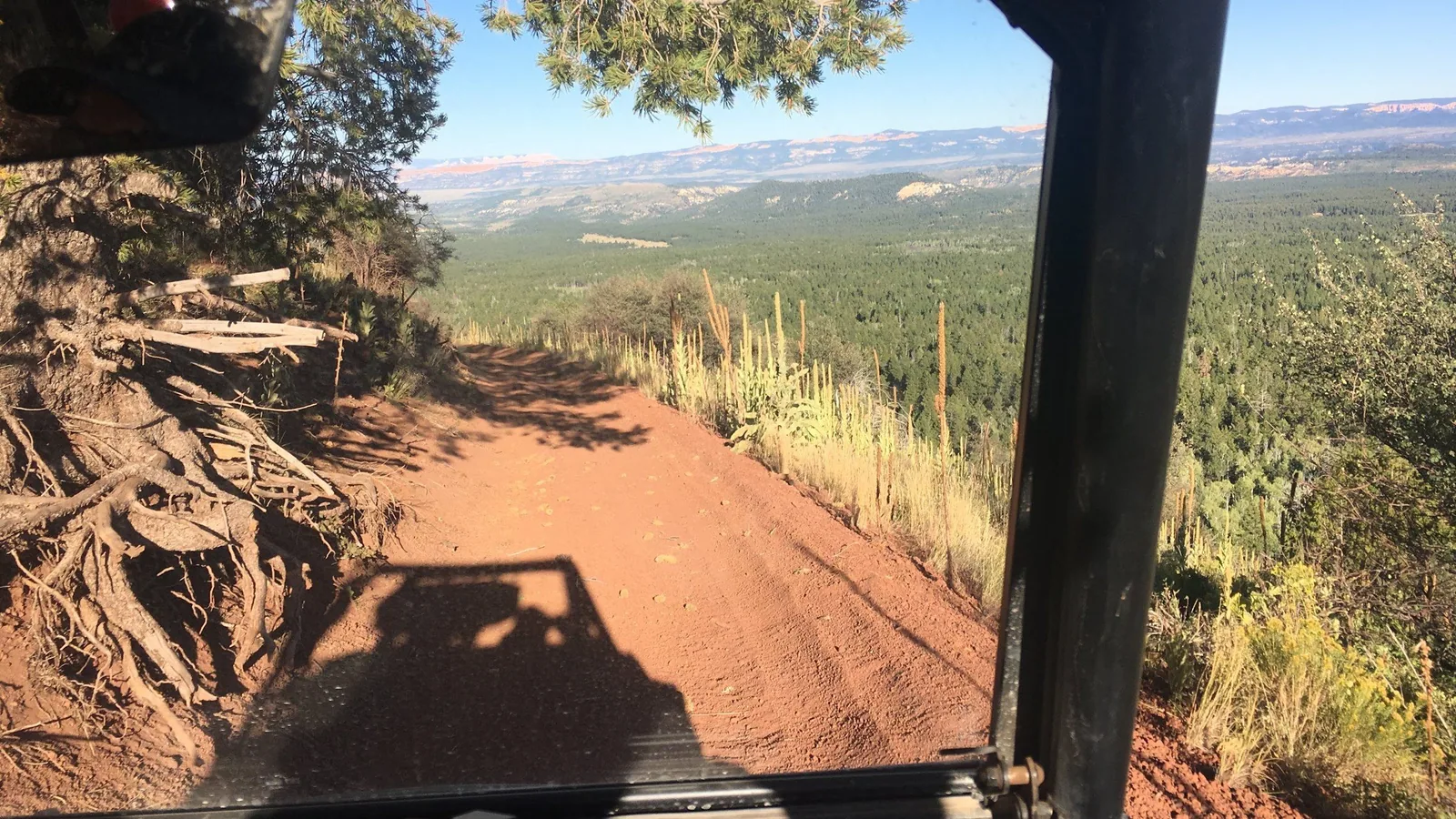
The 2020 Census counted 393 residents in ZIP code 84762, spread across 2,211 housing units. Duck Creek Village has no census boundary of its own, and almost every house on the mountain is a cabin somebody visits rather than lives in.
 Things to Do
Is Duck Creek Village on a Volcano? The Lava Under Cedar Mountain
Duck Creek Village sits on a basalt lava flow with its own name on the geologic map, inside the Markagunt Plateau volcanic field. The nearest cinder cones stand 2 miles east, the field holds 40 to 50 of them, and the last eruptions ran out long before anyone lived here.
Book the basecamp
When the trip idea is taking shape, Duck Creek Village Inn makes an easy base between slower mountain time and bigger Southern Utah days.