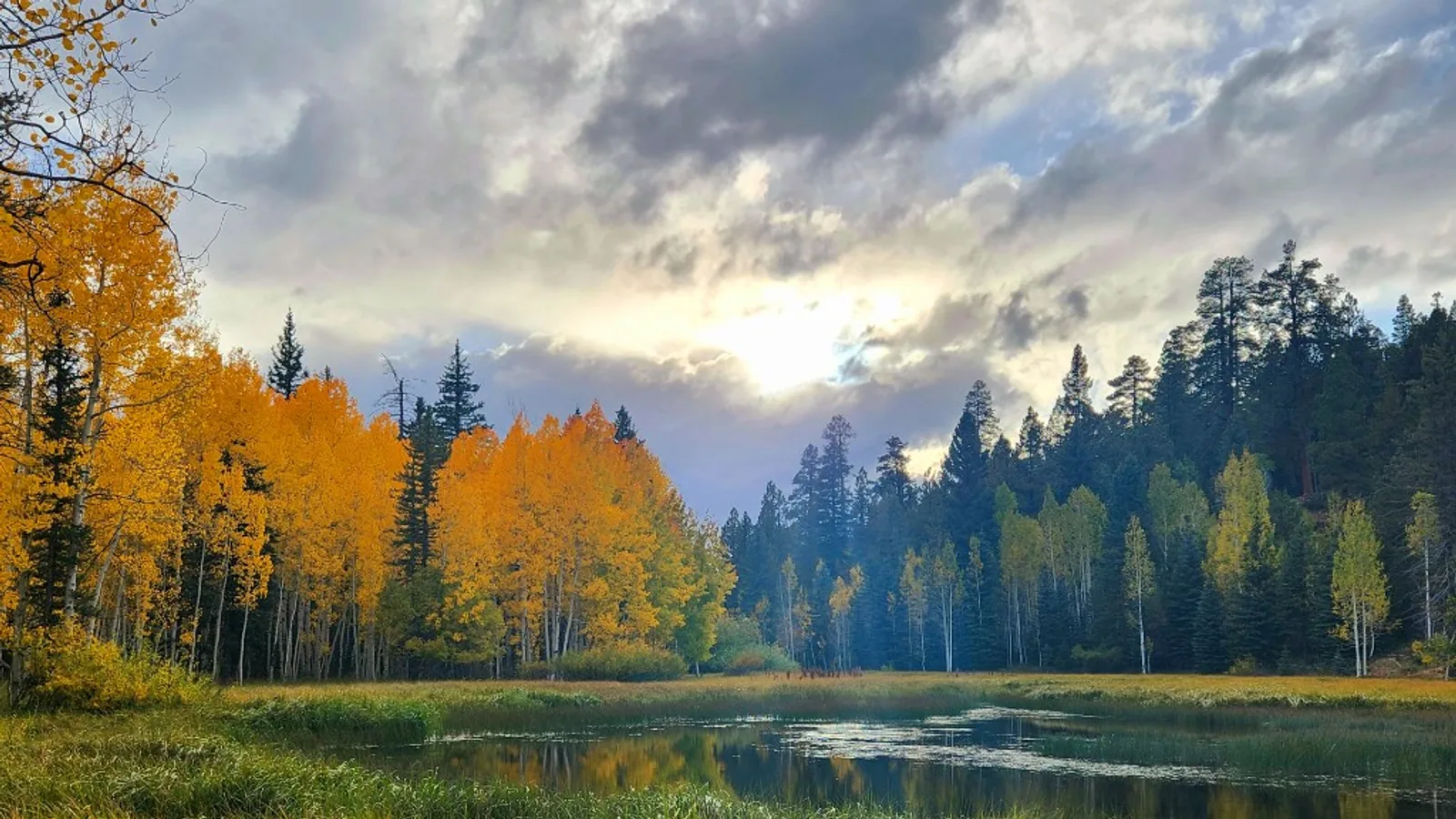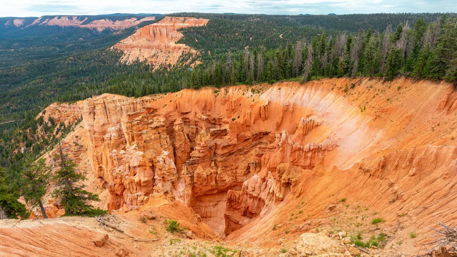
The Zion Overlook is a pullout at 9,775 feet, 16.5 road miles east of Cedar City and 12.9 miles west of Duck Creek Village. Zion Canyon stays out of sight behind ridges that stand up to 1,773 feet above the line of sight, and the view is worth the stop anyway.
Where Is the Zion Overlook on Highway 14, and Can You See Zion From It?
The Zion Overlook is a pullout on the south side of Highway 14 at 9,775 feet, 16.5 road miles east of Main and Center in Cedar City and 12.9 miles west of Duck Creek Village. Zion Canyon stays out of sight from it. Ridges 15 to 25 miles south stand as much as 1,773 feet above the line of sight, so the canyon walls never clear the horizon.
The stop still earns the ten minutes. The plateau rim falls away in front of you for 15 open miles, and that ground is the headwater bench of the river that cuts Zion.
| The pullout | Detail |
|---|---|
| Coordinates | 37.5705, -112.8586 |
| Elevation | 9,775 feet |
| From Cedar City | 16.5 miles, 27 minutes |
| From Duck Creek Village | 12.9 miles, 18 minutes |
| Fee | None |
| Facilities | None at the pullout |
Finding it without missing it
Highway 14 starts at Main and Center in Cedar City and climbs east through Cedar Canyon. The pullout sits 16.5 road miles up, which puts it near milepost 16, on the right as you drive east. The timber opens, the ground drops, and the shoulder widens. Miss it and the Cedar Breaks turnoff comes up soon after.
Two traps catch people. Some published coordinate lists for the Zion Overlook carry a pin that lands in downtown Cedar City, 13.5 miles back down the canyon, so a copied GPS point can send you the wrong way. And the limit through that curve reads 40 mph, which means the pullout arrives faster than you expect. Save 37.5705, -112.8586 to your phone in town while you have a signal.
The ridges between you and Zion
Every travel page describes this spot as a window on Zion. The ground disagrees. We ran a 41-point elevation profile along the straight line from the pullout to the Zion Canyon Visitor Center using the USGS 3DEP elevation service, then drew the line of sight from 9,775 feet down to the canyon floor at 3,927 feet and corrected for the curve of the earth.
The first 15 miles run clear. After that the ground climbs back above the line and stays above it, topping out 1,773 feet over the sightline at 22.6 miles. Zion Canyon sits behind a wall of plateau.
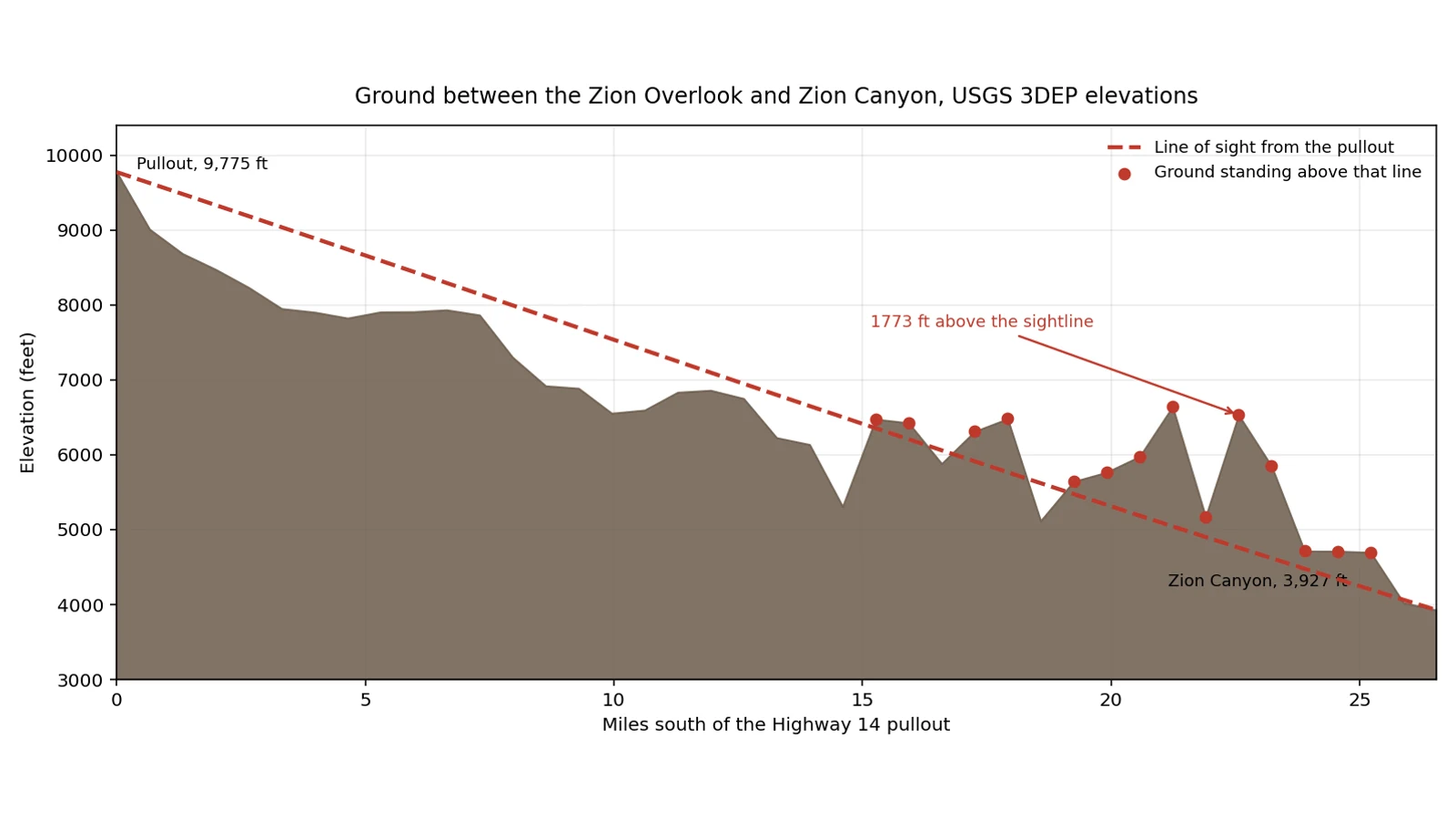
Terrain between the pullout and Zion Canyon, drawn from USGS 3DEP elevations sampled every 0.66 miles. Duck Creek Village Inn, 2026.
| Sightline | Result |
|---|---|
| Open ground in front of you | First 15.3 miles |
| Nearest Zion park boundary | 14.1 miles south, hidden |
| Zion Canyon floor | 26.5 miles south, hidden |
| Tallest blocker | 1,773 feet above the line, 22.6 miles out |
So what are you looking at. The benches and canyon heads below the rim drain south into the North Fork of the Virgin River, which rises on this plateau near Navajo Lake at about 9,200 feet and runs down to 5,900 feet at Chamberlain Ranch before it carves the Narrows. You are standing at the top of the watershed that builds Zion Canyon, 26 miles upstream of the canyon itself. That is a better line than a postcard view, and it is true.
Season, snow, and the fall window
Highway 14 carries traffic year round. UDOT’s seasonal roads list names SR-148 to Cedar Breaks, shut from November through May or June in most years, and it leaves SR-14 off. Storms close the highway for hours at a time in winter and traction laws go up, and the plows come through.
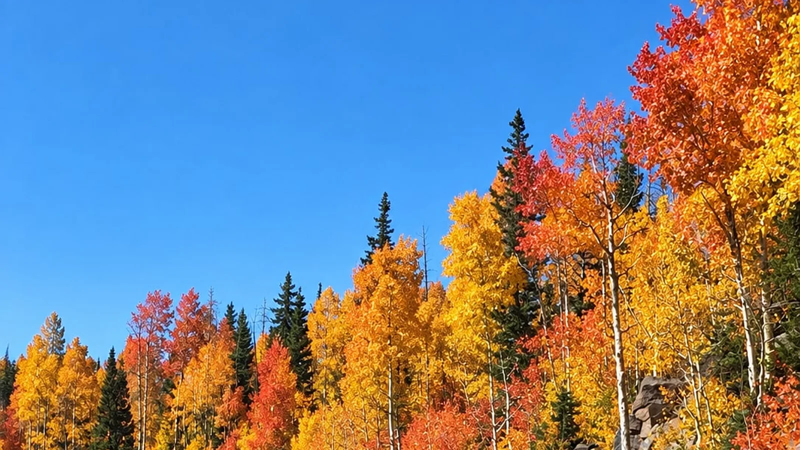
At 9,775 feet the pullout runs about 1,300 feet higher than the village, so the aspens on that stretch turn ahead of the ones around town. Fall color on Cedar Mountain peaks between September 20 and October 15 in most years, and the high ground goes first. Our 2026 fall color peak dates track the line as it moves down the mountain week by week.
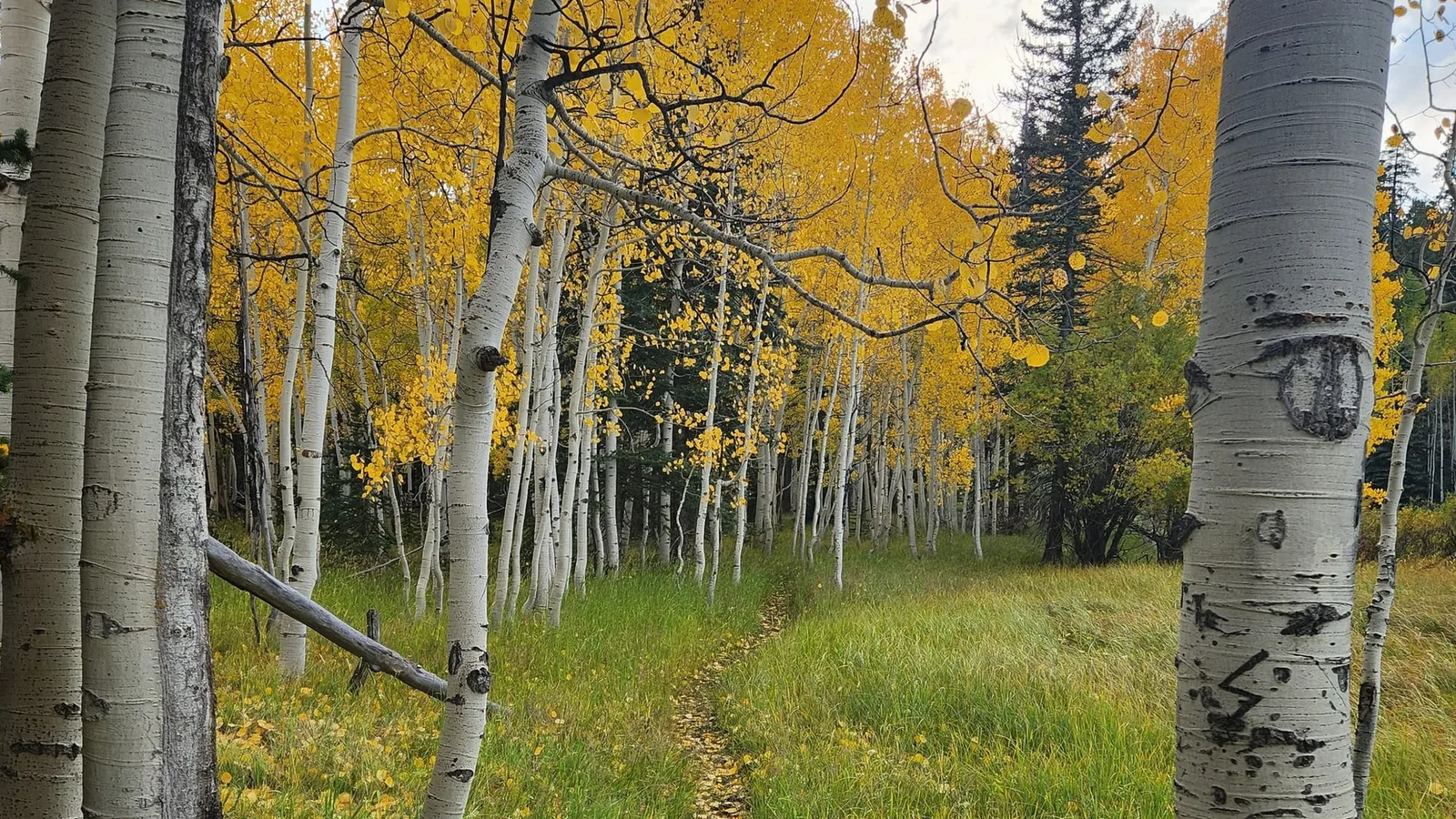
Aspens near Duck Creek Village, October 1. At the pullout, 1,300 feet higher, this stage arrives about a week sooner. Duck Creek Village Inn, 2023.
| Season | What to expect |
|---|---|
| June to August | Open and warm, afternoon storms build by two |
| Late September | Aspen gold on the rim, best light of the year |
| October | Color drops below the rim, first snow possible |
| November to May | Road open, view often in cloud, no services |
Map data shows nothing at the pullout beyond the pullout: no restroom, no water, no bin. Carry what you need. The road conditions page tracks the highway when weather moves in.
Stops within seven miles of the pullout
The overlook works as one beat in a half day, not as a destination. Everything below sits on the same 12 miles of highway.
| Stop | From the pullout |
|---|---|
| Cedar Breaks, Point Supreme | 5.0 miles, 10 minutes |
| Navajo Lake overlook | 6.7 miles, 9 minutes |
| Duck Creek Visitor Center | 11.9 miles, 19 minutes |
| Duck Creek Village Inn | 12.9 miles, 18 minutes |
Run west to east and you finish in the village. Cedar Breaks first while the amphitheater holds morning shadow, the Zion Overlook next, then the Navajo Lake overlook, then down to Cascade Falls, where the water you saw sink into Navajo Lake comes back out of a cliff and starts its run to Zion. Cedar Breaks trails from Sunset Point fill the morning if you want one walk in the day.
Quick answers about the Zion Overlook
Where is the Zion Overlook on Highway 14? On the south side of the highway at 37.5705, -112.8586, 16.5 road miles east of Main and Center in Cedar City, near milepost 16. From Duck Creek Village it is 12.9 miles west, an 18 minute drive.
Can you see Zion National Park from the Zion Overlook? No. A USGS elevation profile along the line to Zion Canyon shows ground standing above the line of sight from 15.3 miles out, peaking 1,773 feet above it. The park boundary is 14.1 miles south and the canyon floor 26.5 miles south, both behind intervening ridges.
How high is the Zion Overlook? 9,775 feet, from the USGS 3DEP elevation service. That is about 1,300 feet above Duck Creek Village and 4,000 feet above Cedar City.
Is there a fee or a restroom? No fee and no gate. Map data shows no restroom, no drinking water and no trash service at the pullout, so plan for a roadside stop rather than a developed site.
Is Highway 14 open in winter? Yes. SR-14 does not appear on UDOT’s seasonal closure list, unlike SR-148 to Cedar Breaks. Storms bring traction laws and short closures, and the highway reopens once the plows finish.
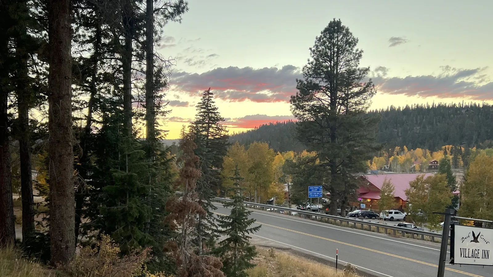
Stay 12.9 miles east of the overlook and the whole drive is a before dinner errand rather than a day trip. Our rooms sit on Highway 14 in the middle of Duck Creek Village, which puts Cedar Breaks, Navajo Lake and this pullout inside a 20 minute radius.