The plateau's best views are not on its long hikes. They are on two short walks most visitors drive right past. Here is how to reach each one, what vehicle you need, and how to time them around the light and the afternoon storms.
Most people come up to Duck Creek with a hike or two on the list and end up giving them to the long trails, the ones with the mileage and the elevation profile. The plateau will reward that. But the two views that make guests stop and go quiet are not on the big hikes at all. They are on two short walks a lot of visitors drive right past, and between them they hold the best look into Zion you can get without leaving Cedar Mountain. Here is how to do both, and how to read the day so you catch them right.
Strawberry Point: the biggest view, the least walking
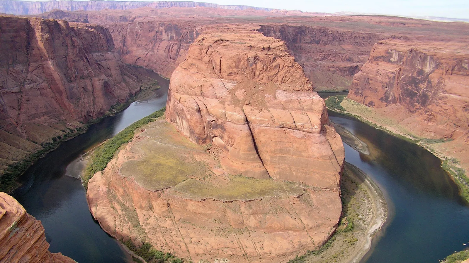
Strawberry Point sits out on the southern rim of the plateau, and the payoff per step is hard to beat anywhere up here. You park, walk a few minutes out toward the edge, and the whole country opens up. You can see a long stretch of the Virgin River rim to the west and, to the south, some of the closest and widest views into Zion of any overlook on the mountain.
Getting there is a drive, not a hike. From Highway 14, past the village heading east, look for the turn near milepost 31 onto Forest Road 058, then follow it about seven miles of graded gravel out to the point. In dry weather a normal car handles that road at an easy pace. After rain or a snowmelt week it ruts up and gets greasy, and the higher stretches hold snow well into spring, so it is worth knowing the road surface before you commit the afternoon to it.
The view comes with a real caveat. There are no guardrails, chains, or barriers out here, and the cliffs drop anywhere from 100 to 500 feet straight off the edge. The best vantages involve a little scrambling on rock that narrows to a foot or so wide in places. It is not the spot for anyone with vertigo or a fear of heights, and it is a hold-hands-the-whole-time place with small kids. Go slow, keep back from the lip, and it is one of the great views in southern Utah.
Cascade Falls: a short trail with a strange, good story
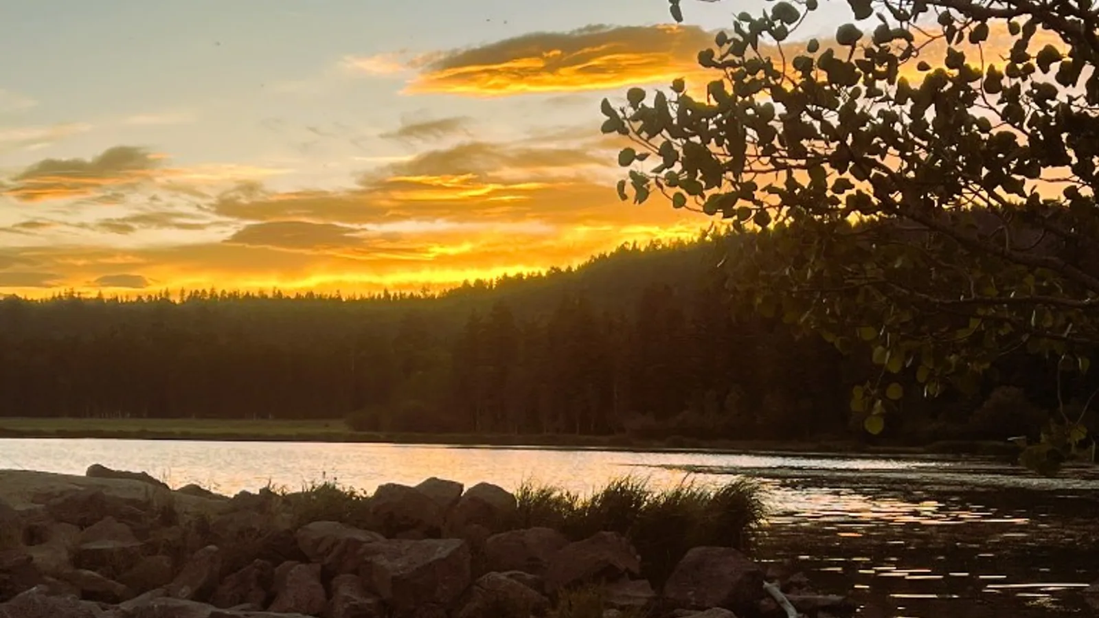
Cascade Falls is the other one, and it earns the drive for the walk itself. The trailhead sits near Navajo Lake, a few minutes west of the village off Highway 14. Turn onto the Navajo Lake road, Forest Road 053, and follow the signs to the Cascade Falls trailhead. Graded dirt again, and the same dry-versus-wet rule applies.
The trail is about 1.3 miles round trip and close to level, contouring along a pink cliff face with a few wooden steps and bridges. It starts near 8,900 feet and stays nearly flat, so it walks easy even on a first day at altitude. At the end, a short set of stairs drops you to an overlook that puts you within feet of the falls.
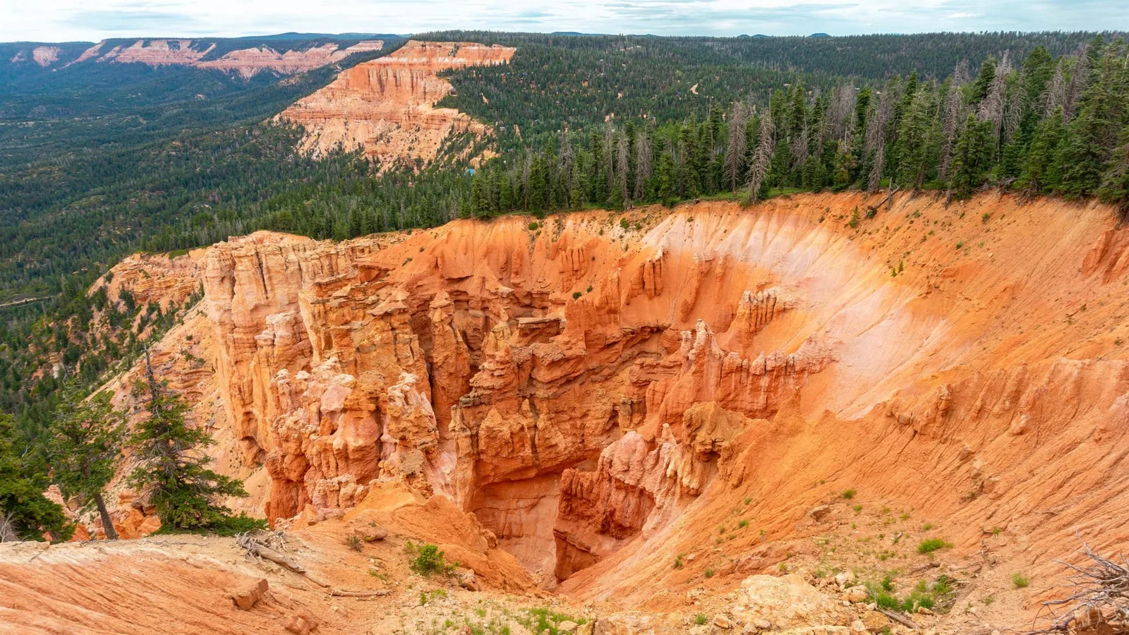
The strange part is where the water comes from. Navajo Lake has no natural surface outlet. It drains through a sinkhole into lava tubes under the mountain, runs underground, and comes pouring straight out of a cave in the cliff as Cascade Falls, then feeds the North Fork of the Virgin River that carves Zion downstream. The rock is the same Claron Formation you see at Cedar Breaks and Bryce, which is why the cliffs glow that sherbet pink.
One planning note that matters: the flow tracks the lake. In an early-summer runoff year it roars. By late summer, or a dry year, it can thin to a trickle. If the waterfall itself is the point of the trip, aim for earlier in the season or the day or two after a good rain. The overlook and the pink-cliff walk are worth it either way.
How to string both into one half day
These two are close enough to do together in a morning and still be back for lunch. Because Strawberry Point is the longer drive, the more exposed spot, and the one that punishes a wet afternoon, do it first, right after breakfast, while the sky is still clear. Head back through the village, then drop down to Cascade Falls by Navajo Lake, which is shorter, shadier, and closer to the trees if the weather turns. Both trailheads sit within a short drive of the inn, so you are never far from a bailout if a storm rolls in early.
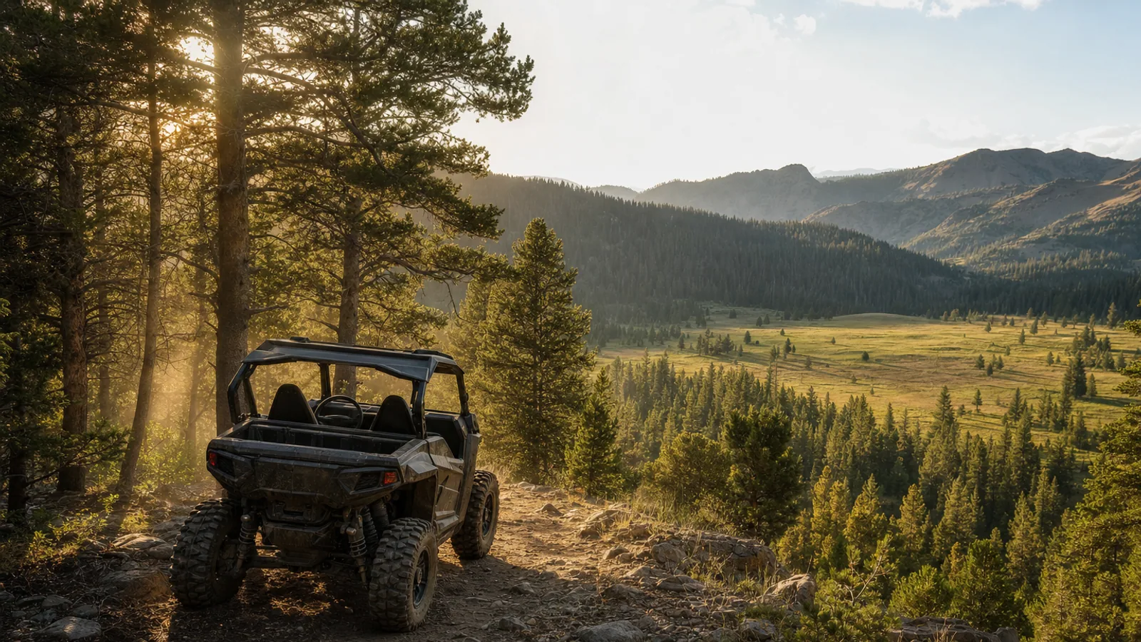
If you want the current road and weather picture before you head out, our road conditions and live cameras page is the fastest way to check, and the Navajo Lake page covers the water right next to the Cascade Falls trailhead if you want to stretch the morning into an afternoon on the lake. Came up for the ATVs instead? The renting an ATV in Duck Creek rundown covers the trail network that runs past both spots.
Two short walks, one long view into Zion and one waterfall that runs uphill through a mountain. Time them around the light and the afternoon sky and you get the best of the plateau’s scenery without giving up a whole day to do it.
Ready to set up a basecamp a few minutes from both trailheads? Take a look at our rooms and cabins.