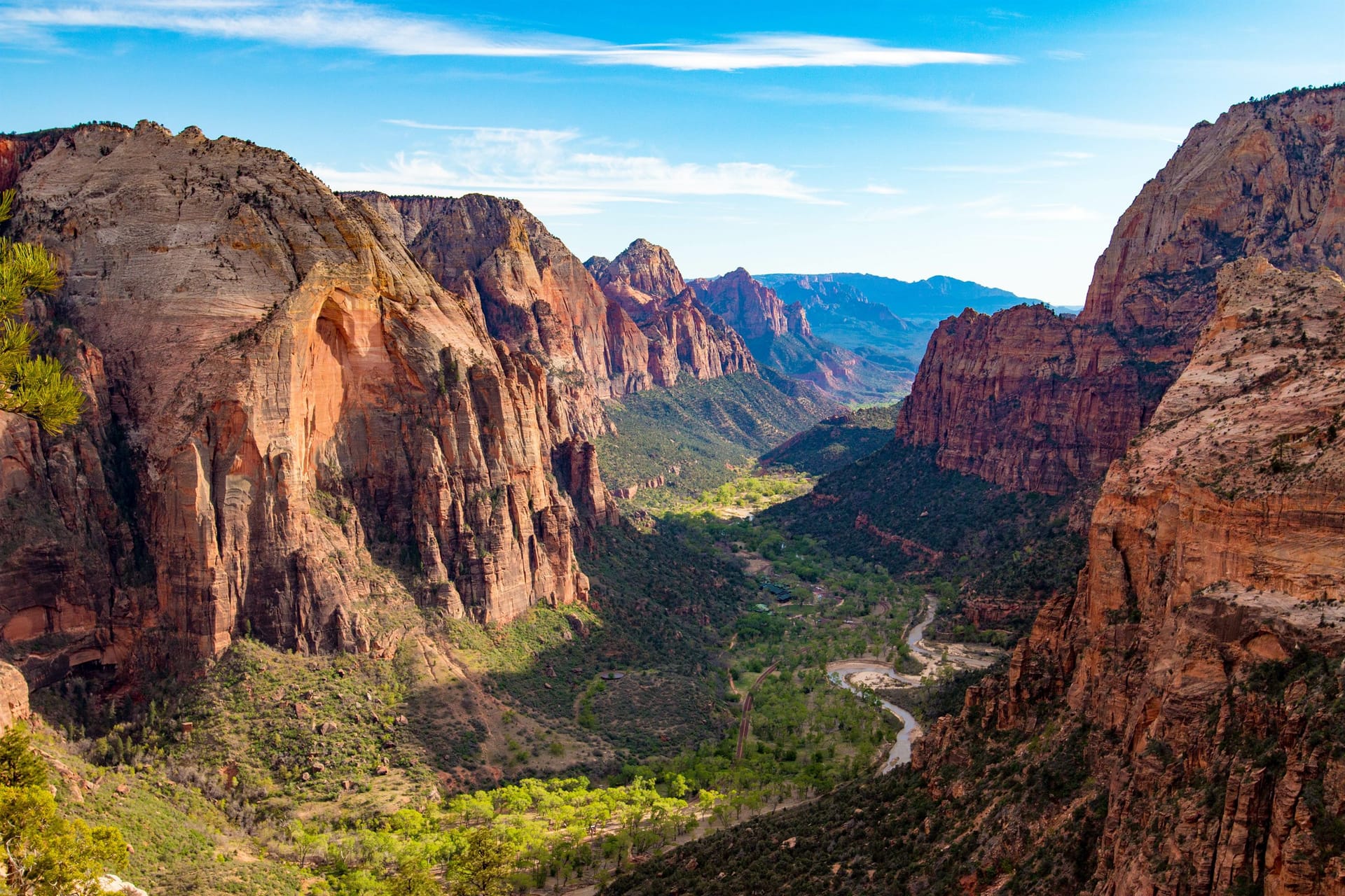
| 0 | Zion Canyon Visitor Center The start clock for this drive. If you are coming off the shuttle, add the wait: the line at Temple of Sinawava can run 30 minutes on a summer afternoon before you reach your car. | 3,930 ft |
| 1.6 | Canyon Junction Turn east here and the Zion-Mount Carmel Highway begins. This is the last flat mile before the switchbacks. | 4,040 ft |
| 3.6 | The switchbacks Six tight hairpins climbing the canyon wall. Low gear going up, low gear coming down. There is no pullout on the corners, so take the pictures at the top. | 4,580 ft |
| 5.6 | Zion-Mount Carmel Tunnel The 1.1-mile tunnel, cut in 1927-1930. Oversize vehicles need traffic control and cannot pass each other inside, which is why this is the one section that can add half an hour to your day. | 5,363 ft |
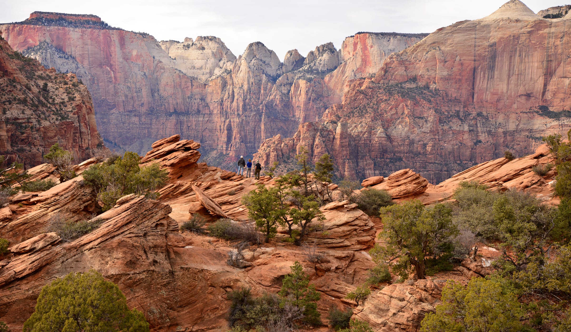
| 6.1 | Canyon Overlook Trailhead Immediately east of the tunnel. A 1-mile round trip to the best view you can earn in an hour on this drive, but the lot is tiny and fills by mid-morning. | 5,130 ft |
| 10.9 | Checkerboard Mesa The cross-hatched dome on the north side, with a signed pullout. Wind carved the horizontal lines and freeze-thaw cracked the vertical ones. | 6,560 ft |
| 11.4 | Zion East Entrance Leaving the park. Going the other way this booth is usually far quicker than the south entrance at Springdale. | 5,690 ft |
| 24.5 | Mount Carmel Junction SR-9 ends at US-89. Turn left, north. This is the last junction of any size for a while: 22 miles on to Long Valley Junction and 43 to the Byway 12 turnoff, so sort out fuel and food around here rather than after. | 5,200 ft |
| 28.9 | Orderville A strip of highway town in the bottom of Long Valley. The speed limit drops hard and it is enforced, which is the only thing most people remember about it. | 5,433 ft |
| 33.3 | Glendale The last town before the long climb up Long Valley. After this the road just goes uphill for fourteen miles. | 5,807 ft |
| 47 | Long Valley Junction The high point of the US-89 stretch, and the SR-14 turnoff west toward Duck Creek Village and Cedar City. No services at the junction itself. | 7,460 ft |
| 59.9 | Hatch US-89 milepost 114.4, and the first town since Glendale 27 miles back. A small place in an open river valley, and the last one before you turn onto Byway 12. | 6,943 ft |
| 67.2 | US-89 and Scenic Byway 12 Turn right off US-89 onto Scenic Byway 12. Miss this and you are headed for Panguitch. The low point of the second half is right here. | 6,745 ft |
| 71 | Red Canyon Visitor Center Dixie National Forest, no fee, flush toilets and drinking water, and the orange hoodoos start here rather than at Bryce. The Pink Ledges and Hoodoo trails leave straight from the lot. Most people drive past it and should not. | 7,100 ft |
| 72.3 | Red Canyon arches Two short arches cut through the red rock, one for each direction. They are photogenic and there is nowhere safe to stop, so have the camera ready as a passenger. | 7,378 ft |
| 81.1 | SR-12 and SR-63 Turn south onto SR-63 at the roundabout for the park. Bryce Canyon City, the shuttle stop and most of the lodging sit in the next mile. | 7,611 ft |
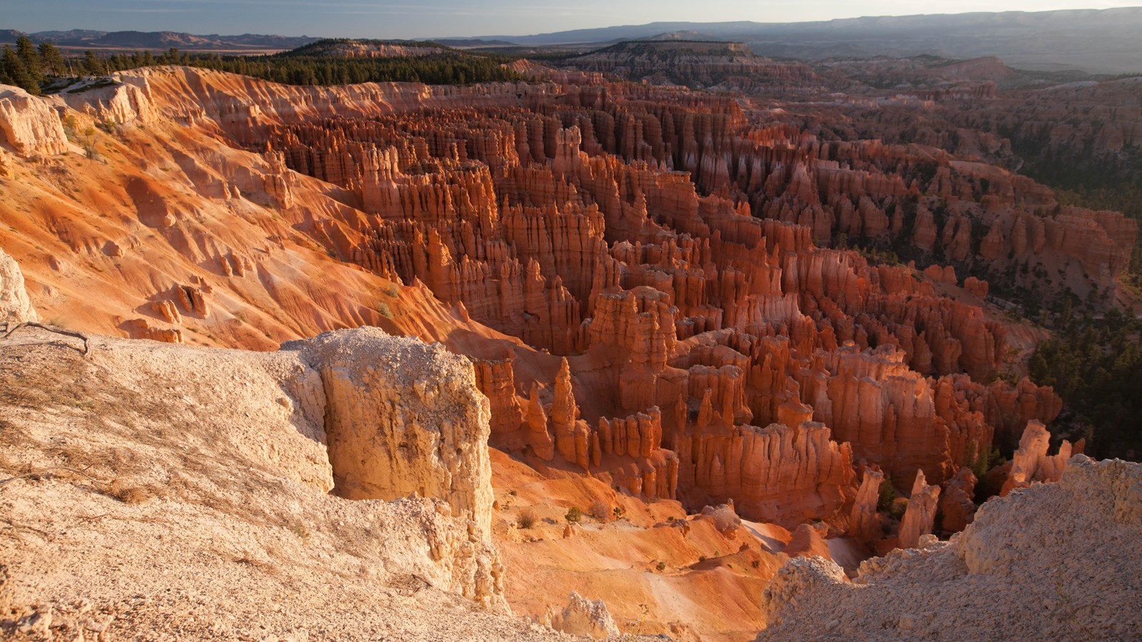
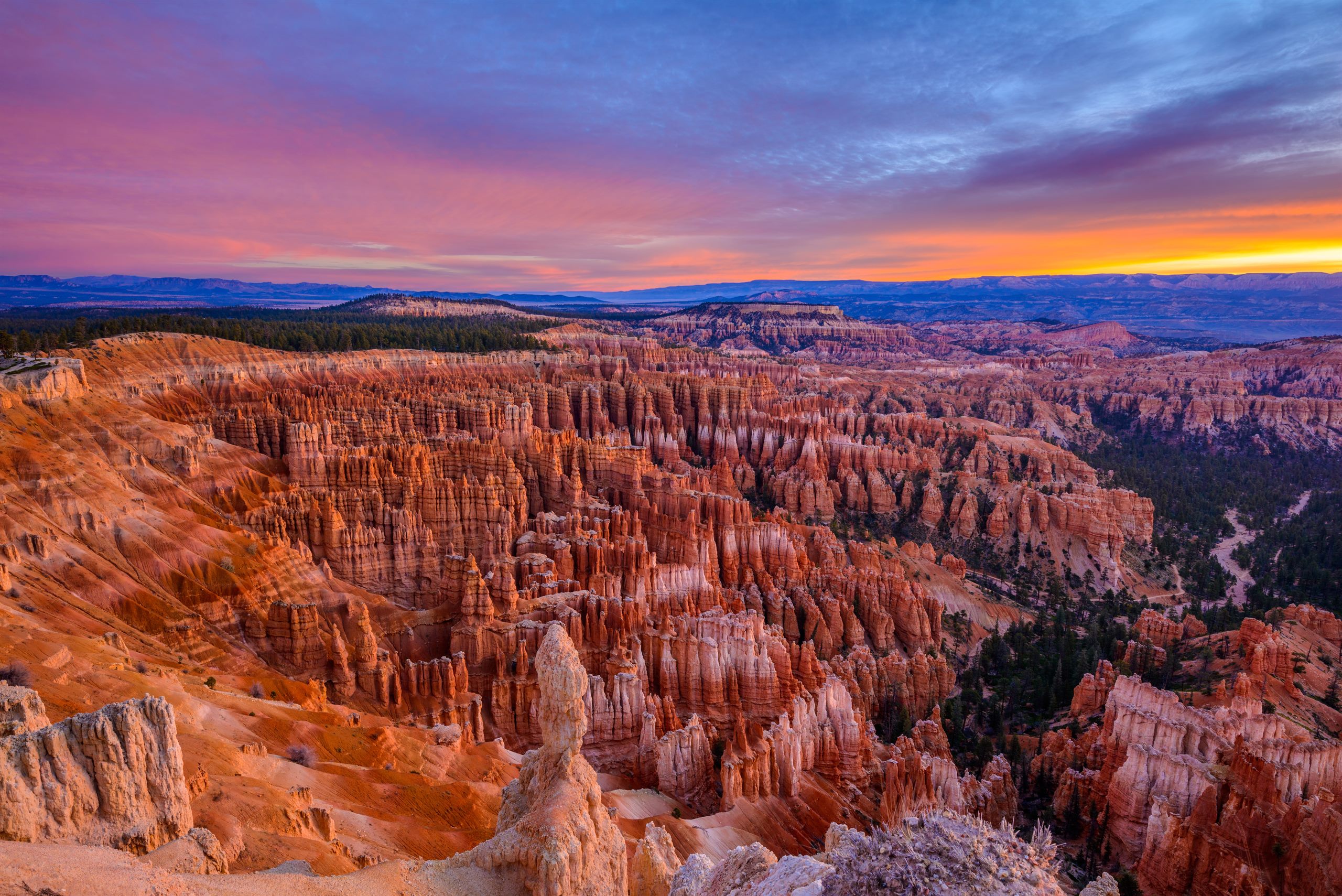
| 85 | Bryce Canyon Visitor Center The end, and the highest point of the drive. You are now 3,969 feet above where you started, which is why it can be snowing here and sunny in Zion. | 7,894 ft |