Things to Do · Duck Creek Journal
Ashdown Gorge Wilderness: Where It Is, How You Get In, and What Winter Closes
Ashdown Gorge Wilderness covers about 7,000 acres of Dixie National Forest on the west side of Cedar Breaks, with its lower end on Highway 14 seven miles up Cedar Canyon. The Rattlesnake Creek route drops about 3,400 feet in 9 to 12 miles, and its top trailhead sits on the high road that closes in winter.
In this story
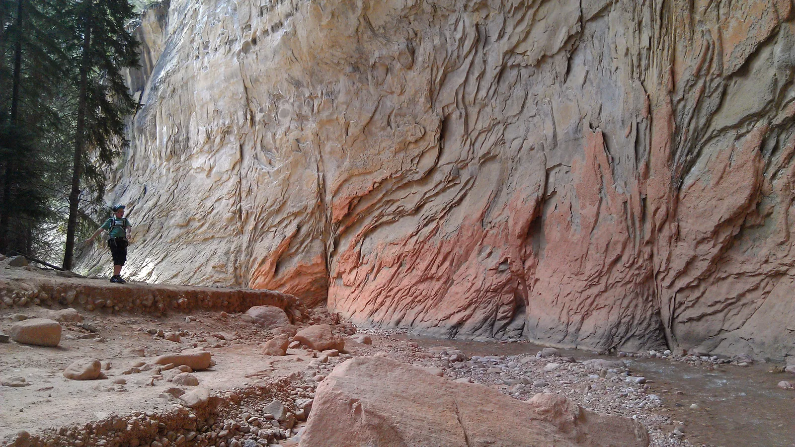
Ashdown Gorge Wilderness is about 7,000 acres of Dixie National Forest wrapped around the west and north sides of Cedar Breaks National Monument. Congress set it aside in the Utah Wilderness Act of 1984. Its top sits near 10,400 feet below the Cedar Breaks rim. Its bottom comes out on Highway 14 about seven miles up Cedar Canyon from Cedar City, 23 miles from Duck Creek Village.
| Ashdown Gorge at a glance | |
|---|---|
| Size | About 7,000 acres (7,043 to 7,085 by source) |
| Designated | September 28, 1984, Public Law 98-428 |
| Elevation | About 8,000 to 10,400 ft |
| Managed by | Cedar City Ranger District, 435-865-3200 |
| Fees and facilities | No fee, no restrooms, no drinking water |
| Inn to the Highway 14 trail end | 23 to 24 miles, about 35 minutes |
Wilderness here means no bikes, no motors and no carts of any kind. The Forest Service lists two trails inside it, Rattlesnake and Potato Hollow, and Wilderness.net counts under 10 miles of trail in total. Creeks run all year. Mule deer and marmots live here, and the northern corner holds a stand of old bristlecone pines called the Twisted Forest.
Where the wilderness sits on the map
Picture Cedar Breaks as a bowl cut into the west edge of the Markagunt Plateau. Ashdown Creek drains part of that bowl. It and Rattlesnake Creek carry the water west through narrow canyons until Ashdown Creek meets Coal Creek beside Highway 14 in Cedar Canyon. Wikipedia puts the whole area in eastern Iron County and notes about 320 acres of private land inside the boundary.
You have driven past the bottom of it if you came up from Cedar City. Our Highway 14 guide calls the stretch from mile 5 to mile 10 the narrowest part of the canyon, cliffs on both sides and the wilderness above. The upper end sits on the high road north of Cedar Breaks, about 3,400 feet higher.
Visit Utah traces the name to George Ashdown and his family, who ran a ranch and two sawmills on the creek.
The Rattlesnake Creek route, top to bottom
The classic trip runs one way, downhill, with a car left at each end. Start at the Rattlesnake Creek trailhead just north of the Cedar Breaks north entrance, walk the monument fence line past two rim viewpoints, cross Stud Flat, then drop into Rattlesnake Creek and on down Ashdown Creek to Highway 14.
| Rattlesnake Creek to Highway 14 | |
|---|---|
| One-way distance | 9 to 11.6 miles by source |
| Elevation loss | About 3,400 ft |
| Top trailhead | 10,465 ft (USGS) |
| Wading | The last 3 miles, in the creek |
| Season | Summer and fall |
Utah.com rates it strenuous and calls the trail unmaintained and hard to follow, so bring a map and the skill to read one. Hiking Project says the last three miles stay in the creek, and that spring runoff can run high and cold into early summer. Check the water at the bottom lot when you leave the first car.
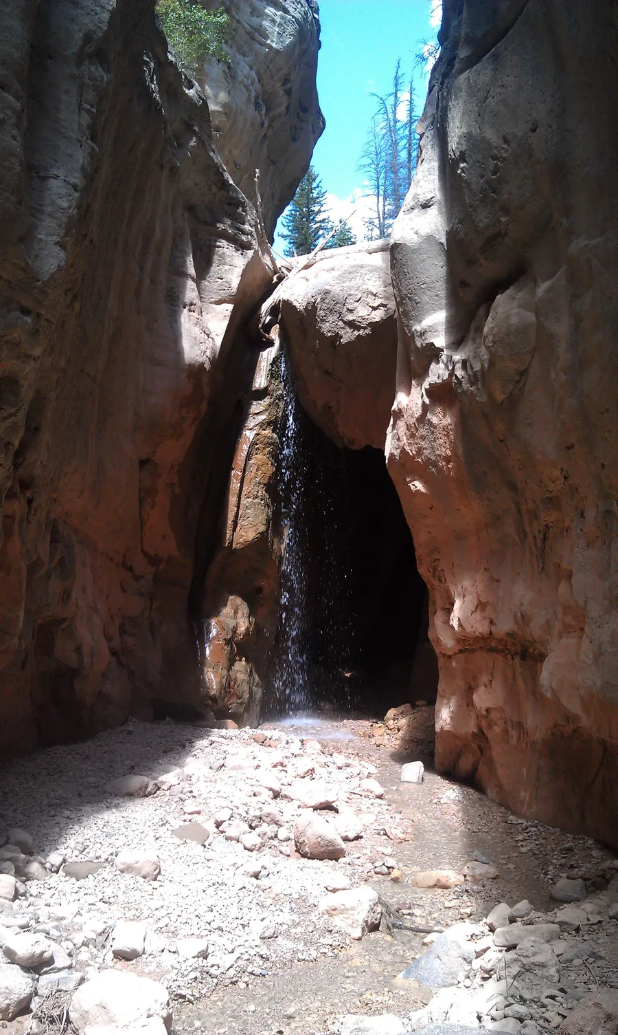
Two side trips earn the extra steps. Waterfalls sit a few hundred yards up Lake Creek where it meets Rattlesnake Creek, and lower in the gorge Flanigan Arch hangs high on the canyon wall (Visit Utah spells it Flanagan’s).
What winter closes and what stays open
The top of the route goes out of reach first. Highway 148 through Cedar Breaks is now closed for the winter, per the Park Service alert posted in mid-November, and that road is our summer way to the Rattlesnake trailhead. The Cedar Breaks conditions page tracks the reopening.
The bottom stays easy to reach. UDOT keeps Highway 14 plowed all winter, and the trail end sits about 1,400 feet below the village, around 7,000 feet. You can stop at the lot, walk to the mouth of the gorge where Ashdown Creek meets Coal Creek, and turn around.
| Ashdown Gorge by season | |
|---|---|
| Summer | Full route with a car shuttle, start early for storms |
| Fall | Full route after the runoff, cold mornings |
| Winter | Top trailhead cut off, short walks from Highway 14 |
| Spring | High, cold runoff in the narrows into early summer |
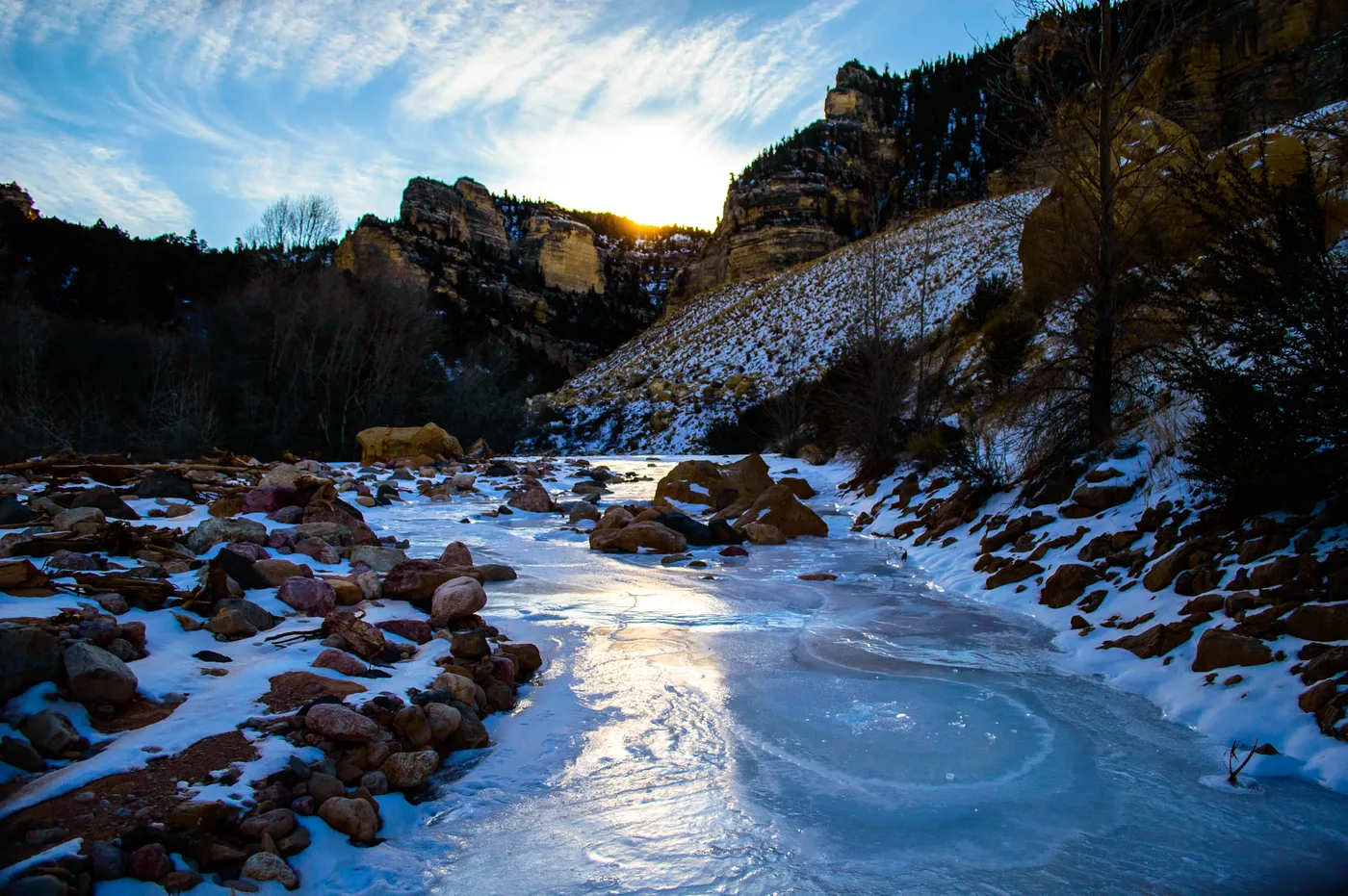
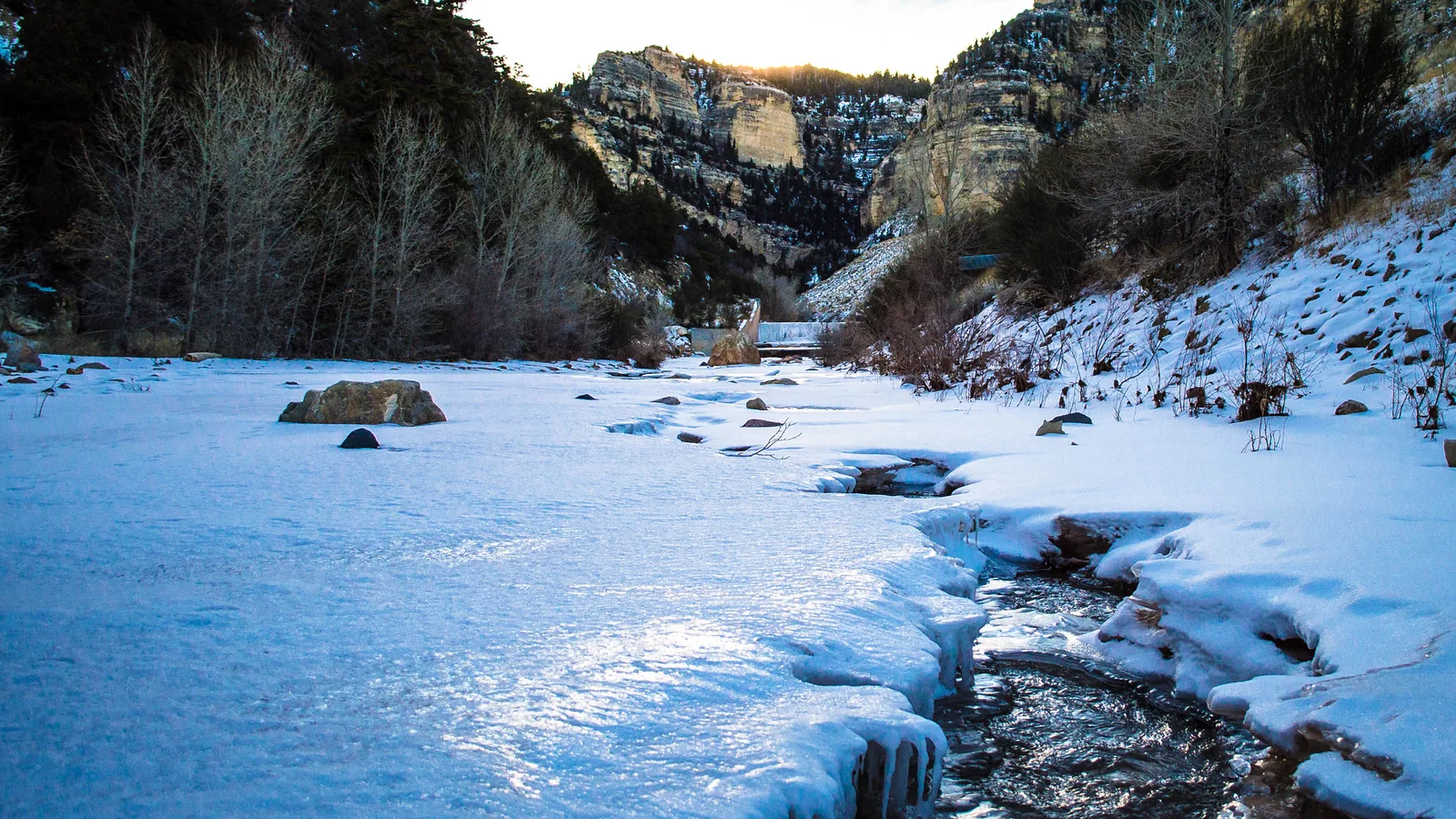
Skip the wading in winter. The narrows hold creek water every month, and a December 2017 photo from the Cedar Canyon end shows the creek frozen over between snowbanks. Wet feet in freezing air, with spotty cell signal, make a bad pairing.
Check Highway 14 conditions before you drive down the canyon, and read our hiking guide for trails closer to the village when the gorge is too cold or too high.
Quick answers on Ashdown Gorge
- Do you need a permit to hike Ashdown Gorge?
The Forest Service lists no fee for the area, and we found no permit requirement for day hikes. Call the Cedar City Ranger District at 435-865-3200 for current conditions.
- Can you bike or ride an ATV in Ashdown Gorge?
No. Federal wilderness rules ban motor vehicles and all mechanical transport, bicycles included.
- How long is the Ashdown Gorge hike?
The one-way route from the Rattlesnake Creek trailhead to Highway 14 runs 9 to 11.6 miles, depending on the source, with about 3,400 feet of descent.
- Can you hike Ashdown Gorge in winter?
The top trailhead lies beyond the Cedar Breaks road, which closes for winter. Short walks from the Highway 14 end work on dry days, but skip the creek wading.
- How far is Ashdown Gorge from Duck Creek Village?
The Highway 14 trail end sits 23 to 24 miles west of the village, about 35 minutes by car.
Want a warm base for a day in the gorge? Our cabins sit 23 miles up the same highway.
 Trip Planning
What Is the Markagunt Plateau? The High Forest Under Duck Creek Village, Brian Head and Cedar Breaks
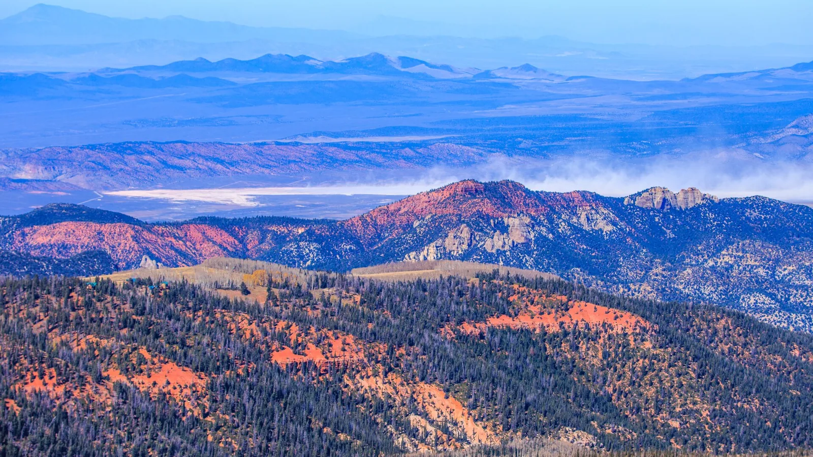
The Markagunt Plateau is the forested tableland east of Cedar City that holds Duck Creek Village, Brian Head and Cedar Breaks. Its name comes from a Paiute word for highland of trees. It tops out at Brian Head Peak, 11,307 feet on the summit sign, and faults and cliffs mark every side.
 Trip Planning
What Is the Dixie National Forest? The Forest Around Duck Creek Village, Its Four Districts and a $10 Christmas Tree
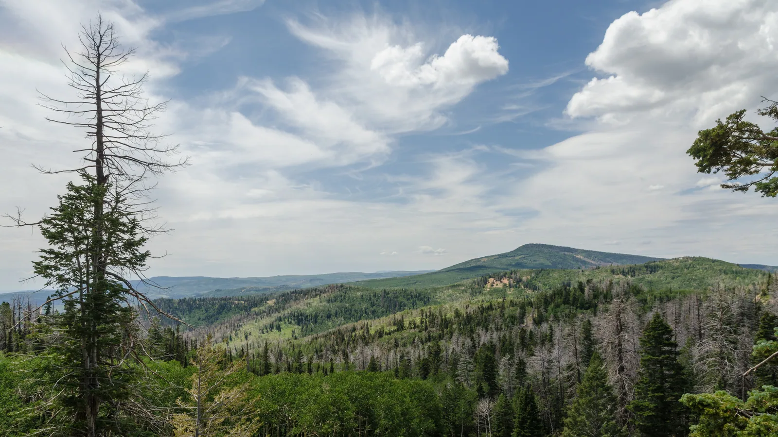
Dixie National Forest covers almost two million acres across southern Utah, from 2,800 feet near St. George to 11,322 feet on Boulder Mountain. Duck Creek Village sits inside it, in the Cedar City Ranger District. This season a Christmas tree permit costs $10 for a tree up to 10 feet.
 Trip Planning
Is Highway 14 Open in Winter? The Cedar City Climb to Duck Creek Village, and This Week's Storms
Yes. Utah Highway 14 stays plowed and open all winter between Cedar City and Long Valley Junction, and it runs through Duck Creek Village. The nearby paved road that closes for the season is Highway 148 to Cedar Breaks. The catch is the climb: 30 miles and about 4,000 feet up to a high point near 9,900 feet, where storms hit first.
Book the basecamp
When the trip idea is taking shape, Duck Creek Village Inn makes an easy base between slower mountain time and bigger Southern Utah days.