Trip Planning · Duck Creek Journal
What Is the Markagunt Plateau? The High Forest Under Duck Creek Village, Brian Head and Cedar Breaks
The Markagunt Plateau is the forested tableland east of Cedar City that holds Duck Creek Village, Brian Head and Cedar Breaks. Its name comes from a Paiute word for highland of trees. It tops out at Brian Head Peak, 11,307 feet on the summit sign, and faults and cliffs mark every side.
In this story
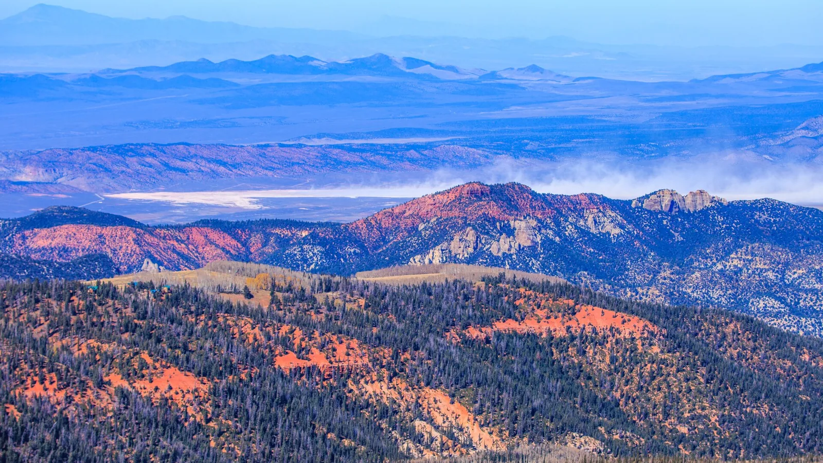
The Markagunt Plateau is the high, forested tableland east of Cedar City in southwest Utah. Duck Creek Village, Brian Head, Cedar Breaks National Monument and Navajo Lake all sit on top of it. The name comes from a Paiute word for “highland of trees.” Its high point, Brian Head Peak, reads 11,307 feet on the summit sign, and the village sits near 8,500 feet.
| Markagunt Plateau | |
|---|---|
| Where | Southwest Utah, between I-15 and US-89 |
| Name | Paiute for “highland of trees” |
| Size | About 800 square miles |
| High point | Brian Head Peak, 11,307 ft |
| Counties | Iron, Garfield and Kane |
| Duck Creek Village | 8,507 ft, on Highway 14 |
You hear people up here call it “the mountain” or “Cedar Mountain.” Geologists and the Forest Service say Markagunt. Both names point at the same high country, and you drive onto it every time you climb Highway 14 out of Cedar City. Our post on where Cedar Mountain is covers the local name; this one covers the big landform under it.
The name and the plateau family
The Utah Place Names entry credits Almon Thompson, a member of the Powell surveys, with the name, and gives its meaning as “highland of trees.” The forest backs that up. Spruce, fir and aspen cover most of the top, and Garfield County’s tourism office puts the plateau at about 800 square miles, most of it inside Dixie National Forest.
Markagunt belongs to a family. Clarence Dutton’s survey of the High Plateaus of Utah grouped a set of big, flat-topped fault blocks in the south of the state, and the Markagunt is the southernmost of its western row. Its neighbor to the east is the Paunsaugunt, where Bryce Canyon sits on the eastern rim. Past that comes the Aquarius. A 1941 Park Service bulletin by Herbert Gregory describes the Pink, White and Vermilion Cliffs as lower and lower steps cut into the south rims of all three. Those steps form the Grand Staircase.
The edges: a fault, a fault and the Pink Cliffs
| Edge | What marks it |
|---|---|
| West | Hurricane Fault, above Cedar City |
| East | Sevier fault zone and the Sevier valley |
| South | Pink Cliffs, top step of the Grand Staircase |
| North | Toward Highway 20 |
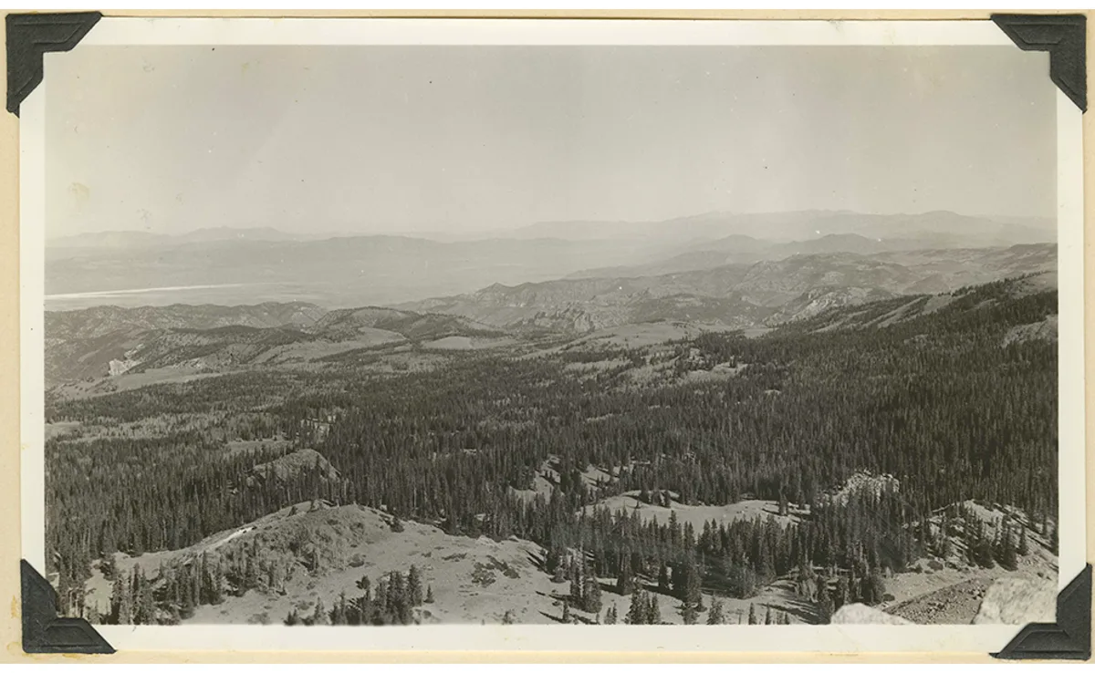
The west edge drops hardest. The Park Service at Cedar Breaks explains that the east side of the Hurricane Fault moved upward and lifted Cedar Breaks and the Markagunt to their height, and that the movement continues today. The Cedar Breaks amphitheater itself is erosion biting into that western edge, through the pink Claron limestone that caps the plateau. Cedar City sits at the foot of that western flank, which is why the first half hour of Highway 14 climbs so hard.
On the east, a Utah Geological Survey map report separates the Markagunt from the Paunsaugunt along the Sevier fault zone and the valleys of the Virgin and the West Fork of the Sevier. In road terms, US-89 through Hatch runs along that low ground. On the south, the plateau ends at the Pink Cliffs, the top step of that staircase.
The Utah Place Names entry also gives a road-map outline: Highway 20 to the north, US-89 to the east, I-15 to the west and Highway 14 to the south. Treat that as a rough box. The forest and the Pink Cliffs run south of Highway 14, so Duck Creek Village sits on the plateau’s southern half, not outside it.
Towns, lakes and lava on top
Brian Head and its ski resort sit near the high north end. Cedar Breaks carves the west rim. Navajo Lake, Panguitch Lake and Duck Creek Village spread across the middle and south.
The plateau also carries a volcanic field. The USGS counts 40 to 50 cinder cones and lava flows and rates the threat low to very low. Lava dammed Navajo Lake, and lava tubes such as Mammoth Cave run under the forest. The black, blocky lava beside Highway 14 near the village comes from those flows. Our post on the volcano under Duck Creek Village has the ages.
Water does something odd up here too. Navajo Lake drains underground in two directions: part of it surfaces at Cascade Falls and heads for the Colorado River, and the larger share feeds Duck Creek and ends in the Great Basin. The full trace sits in our post on where Duck Creek starts and ends.
The high point: Brian Head Peak
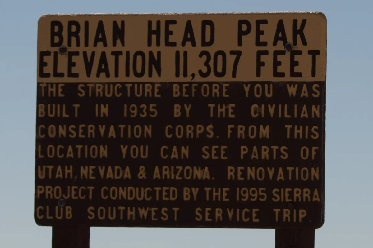
The sign at the top gives 11,307 feet and says the Civilian Conservation Corps built the stone shelter in 1935. The National Geodetic Survey benchmark on the summit lists 11,312 feet on the modern NAVD 88 datum. Keep both in mind if you see two different figures in print. The sign also promises views into Utah, Nevada and Arizona from one spot. Our Brian Head summer guide covers the drive up.
The Markagunt in mid-November 2026
| November 16, 2026 | |
|---|---|
| Highway 148 at Cedar Breaks | Closed for the season |
| Highway 143 through Brian Head | Open |
| Snow at Midway Valley, 9,800 ft | 23 inches (Nov 15) |
| Snow at Harris Flat, 7,800 ft | None (Nov 15) |
The Park Service lists Highway 148 through Cedar Breaks as closed for the season, which on average lasts from mid-November to mid-May. Highway 143 through Brian Head stays open almost year-round. Snow sensors tell the elevation story in one glance: the high meadow at Midway Valley holds almost two feet, and the lower Harris Flat sensor shows bare ground. The forecast we pulled this morning shows more snow likely Tuesday and again Thursday into Friday. Our post on Highway 14 in winter covers the drive itself.
Quick answers about the Markagunt Plateau
- Is Duck Creek Village on the Markagunt Plateau?
Yes. The village sits at 8,507 feet in the southern half of the plateau, along Highway 14 between Cedar Breaks and Long Valley Junction.
- Does Markagunt mean something?
The Utah Place Names entry and Garfield County’s tourism office both give it as a Paiute word meaning “highland of trees.”
- Is Bryce Canyon on the Markagunt Plateau?
No. Bryce sits on the Paunsaugunt Plateau, the next block east, across the Sevier fault zone and the Sevier River valley.
- Is Cedar Breaks part of the Markagunt Plateau?
Yes. The amphitheater has eroded into the western edge of the plateau, where the Claron Formation caps the rock.
- Can you drive across the Markagunt in winter?
Highway 14 and Highway 143 stay open through winter, though a storm can close either for a time, while Highway 148 through Cedar Breaks closes for the season.
If you want to wake up on the plateau instead of driving onto it, our cabins in Duck Creek Village put you at 8,500 feet with the forest out the back door.
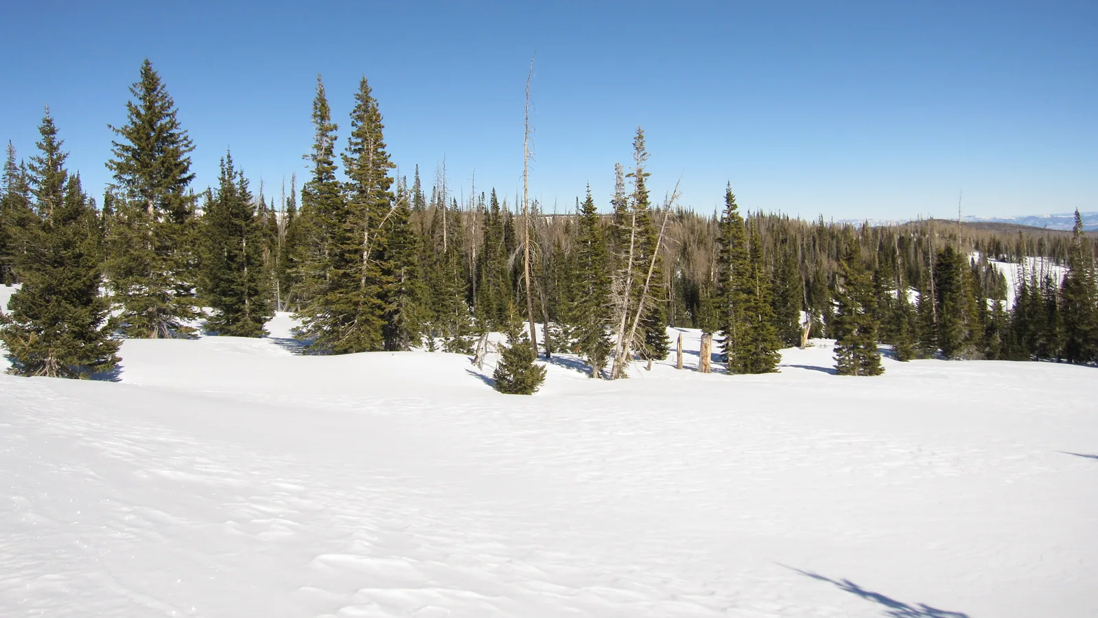 Trip Planning
Where Is Cedar Mountain, Utah? The High Country on Highway 14, and the Nine Summits With the Name
Cedar Mountain is the name southern Utah gives the high country east of Cedar City that Highway 14 climbs onto, home to Duck Creek Village at 8,507 feet in Kane County. USGS maps also list nine summits called Cedar Mountain across Utah. Two stand in Iron County, west of the village, and Kane County has none.
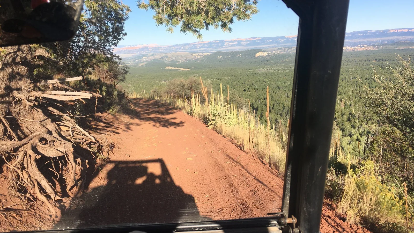 Things to Do
Is Duck Creek Village on a Volcano? The Lava Under Cedar Mountain
Duck Creek Village sits on a basalt lava flow with its own name on the geologic map, inside the Markagunt Plateau volcanic field. The nearest cinder cones stand 2 miles east, the field holds 40 to 50 of them, and the last eruptions ran out long before anyone lived here.
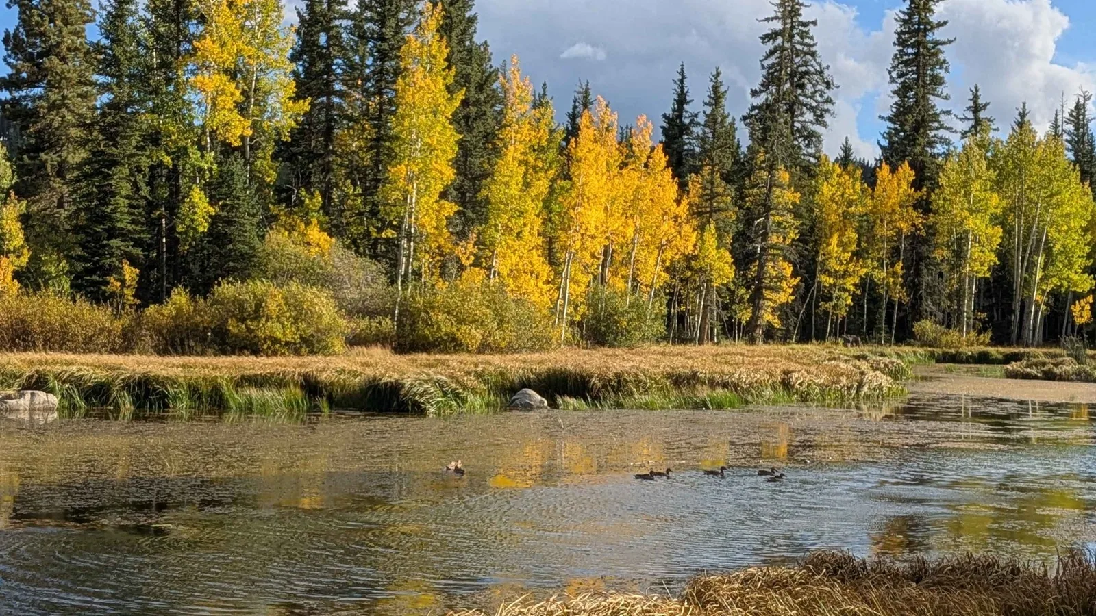 Things to Do
Where Does Duck Creek Start and End? The Spring, the Sinks and the Sevier
Duck Creek starts at Duck Creek Spring, a rise pool inside Duck Creek Pond at 8,550 feet, and runs about 3 miles east before the whole stream drops into the Duck Creek Sinks at the edge of the village. The water comes back up at Lower Asay Spring, joins the Sevier River and never reaches the sea.
Book the basecamp
When the trip idea is taking shape, Duck Creek Village Inn makes an easy base between slower mountain time and bigger Southern Utah days.