Trip Planning · Duck Creek Journal
Parowan, Utah From Duck Creek Village: The 1851 Town at the Bottom of the Brian Head Road
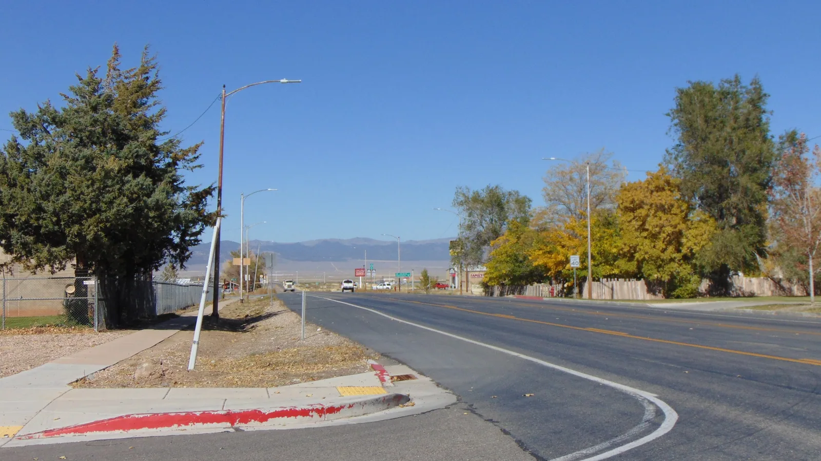
Parowan is the Iron County seat, a town of 2,996 people at about 6,000 feet, settled on January 13, 1851. From Duck Creek Village Inn it sits 36 road miles away over Cedar Breaks in summer, or 49 miles by Cedar City and I-15 once Highway 148 closes for the winter.
In this story
Parowan is the county seat of Iron County, Utah, a town of 2,996 people (2020 Census) at about 6,000 feet. A party led by George A. Smith settled it on January 13, 1851, and the city still calls itself the “Mother Town” of southern Utah. From Duck Creek Village Inn it sits 36 road miles away over Cedar Breaks in summer, or 49 miles through Cedar City once Highway 148 closes.
| Parowan, Utah | |
|---|---|
| County | Iron (county seat), ZIP 84761 |
| Population | 2,996 people, 1,407 homes (2020 Census) |
| Elevation | About 6,000 ft, some 2,400 ft below the inn |
| Settled | January 13, 1851 |
| To Brian Head | 12.6 miles up Highway 143 |
Cedar City has more than ten times the people, yet the county courthouse sits on 100 East in Parowan. Parowan has held the county seat since 1851. It also sits at the bottom of Parowan Canyon, which makes it the front door to Brian Head for anyone driving up from I-15.
Two roads from Duck Creek, and the date that picks one
| Duck Creek to Parowan | |
|---|---|
| Summer route | 36 miles over Cedar Breaks and Brian Head |
| Winter route | 49 miles by Cedar City and I-15 |
| Clock, either way | A little over an hour at posted speeds |
| Highway 148 season | Closed mid-November to mid-May, on average |
The short road heads west on Highway 14 for about 12 miles, turns north on Highway 148 across Cedar Breaks, then joins Highway 143 at the top and drops 15.8 miles through Brian Head and Parowan Canyon into town. The long road stays on Highway 14 all the way down to Cedar City, then runs 19 miles north on I-15.
The surprise sits in the clock. The routing engine puts the summer road at 66 minutes and the winter road at 68, because a long stretch of the second one runs on I-15. The real difference comes down to the date. The Park Service says Highway 148 closes to cars from mid-November to mid-May on average, and on November 7 it still showed open. After it shuts, the Cedar City road becomes the state highway option from our side of the mountain.
Our Cedar City drive breakdown covers the first 30 miles of the winter route, including the climb to almost 10,000 feet before Cedar Canyon.
The Mother Town and its name
Parley P. Pratt camped here on a scouting trip in 1849, and the city’s own history page says the flagpole he raised still stands. In January 1851 George A. Smith arrived with the settlers of the Iron Mission. Within a week they had elected a local government. The town took the name “The City of the Little Salt Lake” at first, then changed it to Parowan, a Native American name the city translates as “evil water.”
That water still has a name on the map. The Little Salt Lake, a dry lake bed at 5,682 feet, lies northwest of town. Wikipedia records the Paiute name for it as “Paragoon,” or “vile water,” and says the name passed to the valley and to two towns: Parowan and Paragonah, 4 miles up the road. Irrigation took the springs and creeks that fed the lake, and today it stands as a dry playa.
| Old Rock Church | |
|---|---|
| Started | 1863, on the public square |
| Paid for by | 82 men pledging $15 to $250 each |
| Total pledged | $7,495 |
| Time to finish | 13 years |
| Tours | Memorial Day through Labor Day |
The church in the middle of the square holds the next chapter. Settlers built it from local rock and used it for worship, school, dances and plays. For the 1917 to 1918 school year, it housed the high school. Church use ended in 1918, and the building passed to Parowan City in the mid-1970s. The Daughters of Utah Pioneers now run it as a museum.
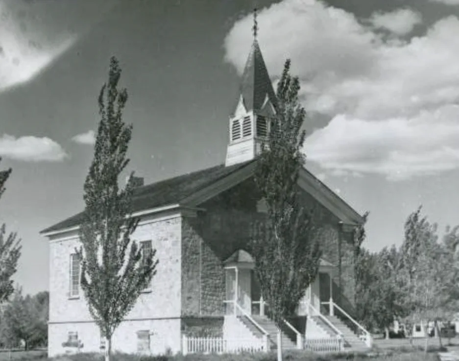
Tours stop after Labor Day, so in November you see the church from the square. The building still earns the stop. The city lists the tour season on its Old Rock Church page and points to the museum’s Facebook page for current news.
Parowan in November and winter
| Snow and cold near Parowan | |
|---|---|
| Paragonah gauge, 5,910 ft | Median 53.5 in a winter (15 full seasons since 1990) |
| Cedar City, for comparison | 59.6 in a year (1991 to 2020 normal) |
| November at Paragonah | Median high 51 F, low 24 F |
Parowan has no long snowfall record of its own, so the nearest NOAA gauge does the work. Paragonah sits 4 miles northeast at almost the same height, and its complete winters since 1990 put the median at about four and a half feet. The spread runs wide, and two of those winters passed 100 inches.
The town sits low enough that November days often reach the 50s. The road out of it climbs fast. Highway 143 gains about 3,750 feet between Main Street and the Giant Steps lodge at Brian Head, 9,766 feet up, in 12.6 miles. Pack for the top, not for the valley.
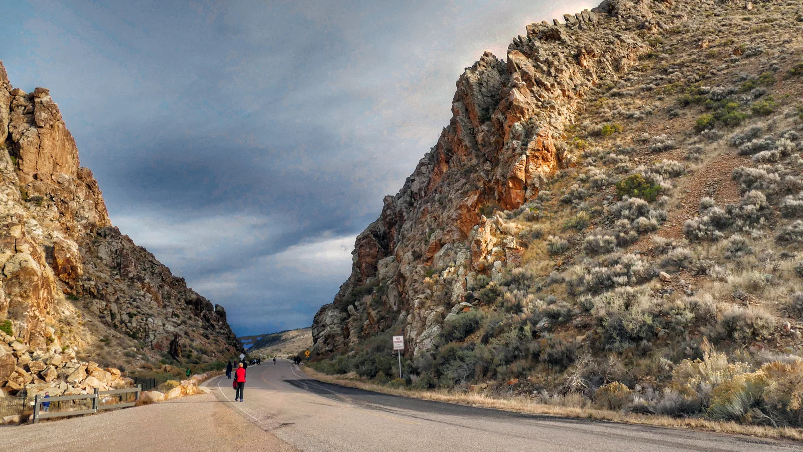
Ten and a half miles west of town on a gravel road, the Parowan Gap petroglyphs make the best side trip. Our Cedar City guide covers the bigger town to the south, and the Cedar City snow post compares valley and mountain snow on the same dates.
Quick answers about Parowan, Utah
- Where is Parowan, Utah?
Parowan sits in Iron County at the bottom of Parowan Canyon, beside I-15, about 19 miles north of Cedar City. Highway 143 starts here and climbs to Brian Head.
- How far is Parowan from Duck Creek Village?
The drive covers 36 road miles over Cedar Breaks while Highway 148 stays open. In winter the route through Cedar City and I-15 runs 49 miles, and both take a little over an hour.
- When did settlers found Parowan?
A settlement party led by George A. Smith arrived on January 13, 1851. Parley P. Pratt had camped on the site two years before.
- What does the name Parowan mean?
The city’s history page translates it as “evil water,” a Native American name. The town started out as “The City of the Little Salt Lake.”
- Does Parowan get snow?
Yes. The Paragonah gauge 4 miles away recorded a median of 53.5 inches across its 15 complete winters since 1990, close to Cedar City’s normal of 59.6 inches.
Parowan makes a good stop on the way to Brian Head or the Gap, and the drive home puts you back in the pines above 8,000 feet. Find a room for the night in our rooms.
 Things to Do
Parowan Gap Petroglyphs From Duck Creek Village: Is the 49 Mile Drive Worth It?
Parowan Gap is a free Bureau of Land Management site in the Red Hills north of Cedar City, with more than 90 panels and 1,500 carved figures. From Duck Creek Village it is about 49 miles and 70 minutes through Cedar City. Pair it with a Cedar City day or a loop home over Cedar Breaks.
 Trip Planning
How Far Is Duck Creek Village From Cedar City? Thirty Miles, and the Road Climbs First
Thirty miles on Highway 14, about forty five minutes, and 2,600 feet of elevation between the village and town. The road climbs to just under 10,000 feet before it drops into Cedar Canyon.
 Trip Planning
Does Cedar City, Utah Get Snow? 60 Inches a Year in Town, Five Feet at the Top of Highway 14
Yes. Cedar City averages 59.6 inches of snow a year, more than Salt Lake City's airport, with December and March the snowiest months. Snow in town melts within a couple of days, while the snow sensor beside Highway 14, 18 miles up the road, reads five and a half feet by mid March. Months, records, last winter and the drive up.
Book the basecamp
When the trip idea is taking shape, Duck Creek Village Inn makes an easy base between slower mountain time and bigger Southern Utah days.