Trip Planning · Duck Creek Journal
Tropic, Utah From Duck Creek Village: The Town Below Bryce Canyon's Rim
Tropic is a Garfield County town of 486 people at about 6,300 feet, 52 road miles east of Duck Creek Village Inn by Highway 14, US-89 and Highway 12. It sits 7 miles past the Bryce Canyon turnoff, and it exists because 40 men dug a ditch through the park in 1892.
In this story
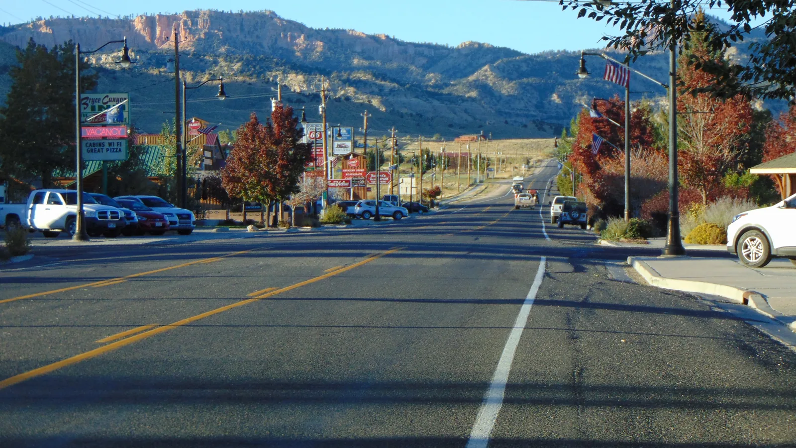
Tropic is a town of 486 people (2020 Census) in Garfield County, Utah, at about 6,300 feet. From Duck Creek Village Inn it sits 52 road miles east, a drive of about an hour and ten minutes: Highway 14 east, US-89 north, then Highway 12 east through Red Canyon. You pass the Bryce Canyon turnoff and keep going 7 more miles, down off the rim.
| Tropic, Utah | |
|---|---|
| County | Garfield, ZIP 84776 |
| Population | 486 people, 230 homes (2020 Census) |
| Elevation | About 6,300 ft, some 2,100 ft below the inn |
| From Duck Creek Village Inn | 52 road miles, about 1 hr 10 min |
| From the Bryce Canyon turnoff | 7 miles east on Highway 12 |
Highway 12 keeps going where the park traffic turns off. Past the SR-63 roundabout it drops over the edge of the Paunsaugunt Plateau into a farm valley with a Main Street, a bank and a hardware store. The pink cliffs of the Bryce rim stand above the town, and its fields run on water borrowed from the far side of the park.
The drive from Duck Creek, in elevation
The road to Tropic goes down, up, then down again, and the numbers explain the clock. Leg one runs 10.6 miles east on Highway 14 to Long Valley Junction. Leg two turns north on US-89 past Hatch and drops to about 6,770 feet at the Highway 12 junction, mile 31. Leg three climbs through the two rock arches of Red Canyon and tops out near 7,790 feet on the plateau around mile 40.
At mile 44.9 a roundabout sends the park traffic south on SR-63. Stay on Highway 12. In the next 7 miles the road loses about 1,250 feet as it drops down the east face, and Tropic’s Main Street is the bottom of that grade.
Two stops sit on the way. Red Canyon comes first and costs nothing. The Mossy Cave trailhead comes 3.5 miles past the roundabout, and it is the reason the town below exists. For the park itself, our Bryce Canyon distance breakdown has every leg and stop.
The ditch that made the town
| Tropic Ditch | |
|---|---|
| Water source | East Fork of the Sevier River |
| Length | About 10 miles |
| Built by | About 40 men with picks and shovels |
| Water reached the valley | May 23, 1892 |
| Drop over the cliffs | 1,500 ft (town history) |
The Tropic Valley had farmland and too little water. So the settlers went and got some. Ole Ahlstrom and 39 other men cut a canal from the East Fork of the Sevier River across the top of the Paunsaugunt Plateau and pointed it over the edge into Water Canyon. The water came through on May 23, 1892, according to the National Park Service wayside on the Mossy Cave Trail. The Park Service says the ditch has watered fields in Tropic and Cannonville every year since, except during the drought of 2002.
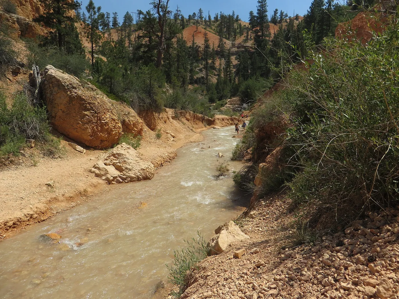
This part ties the town to our own creek. The East Fork of the Sevier belongs to the Great Basin. The Sevier River ends in Sevier Lake in the desert and never reaches an ocean, and the water in Duck Creek joins that same system. Tropic sits on the other side of the divide. Its valley drains to the Paria River, and a USGS stream trace from town reaches the Colorado at Lees Ferry after 88 channel miles. The ditch takes water bound for a dry lake bed and sends it to the Colorado River instead.
The name came from the same hope. The town’s heritage page says Andrew J. Hansen argued the valley could grow semi-tropical fruit like peaches, apples and grapes. The first suggestion had been Erastus, after a church apostle. Tropic won, with about 15 families in town.
Tropic in November and winter
| Snow, town vs rim | |
|---|---|
| Tropic, 6,280 ft | Median 29.8 in a season (26 winters, 1939 to 1999) |
| Bryce Canyon HQ, 7,890 ft | 86.7 in a year (1991 to 2020 normal) |
| Distance between the two | 5.0 miles |
| Bryce HQ in November | 45.8 F high, 22.8 F low |
Five miles and 1,600 feet separate a town that logged about two and a half feet of snow in a typical winter from a park headquarters that averages more than seven. The Tropic gauge stopped reporting in 1999, so treat its number as history. The Bryce figure is the current 30-year normal, and its November numbers sit in the table above.
Food takes more planning than the road does. Tropic’s own business directory lists six places to eat: Bryce Canyon Coffee Co., IDK Barbecue, The Pizza Place, Rustler’s Restaurant, Showdowns Restaurant and the Stone Hearth Grille. Visit Utah calls the coffee shop and the Stone Hearth seasonal, open April through October. The other four publish no winter schedule we could confirm, so call before you count on dinner there between November and March. Our Bryce Canyon restaurant guide covers the park lodge and Bryce Canyon City options too.
Past Tropic, Highway 12 runs on through Cannonville, the turnoff for Kodachrome Basin, and toward Escalante. Tropic works as the hinge of that day: Bryce above it, Kodachrome below it, and the plateau road home behind it.
Quick answers about Tropic, Utah
- Where is Tropic, Utah?
Tropic sits in Garfield County on Highway 12, about 7 miles east of the Bryce Canyon turnoff and 7.5 miles southeast of Bryce Canyon City. It lies in the Paria River valley below the east face of the Paunsaugunt Plateau.
- How far is Tropic from Duck Creek Village?
The drive covers 52 road miles and takes about an hour and ten minutes by Highway 14, US-89 and Highway 12. The route stays on pavement the whole way.
- Why is the town called Tropic?
Andrew J. Hansen proposed the name because he believed the valley could grow semi-tropical fruit, according to the town’s heritage page. Peaches, apples and grapes were the crops he named.
- What is the Tropic Ditch?
A hand-dug canal of about 10 miles that carries water from the East Fork of the Sevier River across Bryce Canyon National Park to Tropic. It began flowing on May 23, 1892, and you can walk beside it on the Mossy Cave Trail.
- Does Tropic get much snow?
Far less than Bryce Canyon up on the plateau. The town’s old NOAA gauge recorded a median of 29.8 inches a season, while Bryce Canyon headquarters, 5 miles away and 1,600 feet higher, averages 86.7 inches a year.
Tropic makes a good turnaround point for a Bryce day out of the village, and the drive home climbs you back above 8,000 feet. Pick a room for the night in our rooms.
 Trip Planning
How Far Is Duck Creek Village From Bryce Canyon National Park?
Duck Creek Village sits 48.6 miles from the Bryce Canyon visitor center, about an hour and seven minutes on pavement the whole way. The three roads, the fuel stops, the 2026 fees, and the shuttle hours that change on September 21.
 Things to Do
Red Canyon, Utah: The Free Hoodoos 35 Miles From Duck Creek Village
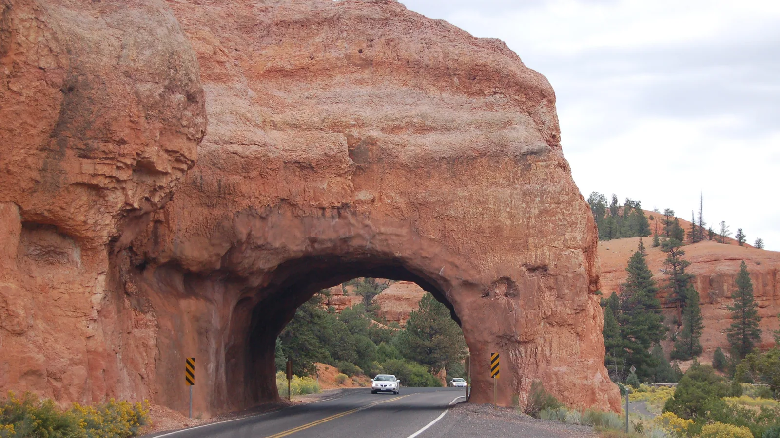
Red Canyon is a stretch of orange Claron limestone hoodoos on Scenic Byway 12 in Dixie National Forest, about 35 miles and 50 minutes from Duck Creek Village on the way to Bryce Canyon. There is no entrance fee, the trailheads start at the visitor center lot, and the two rock tunnels sit a mile up the road.
 Things to Do
Kodachrome Basin State Park From Duck Creek Village: Is the Drive Worth It?
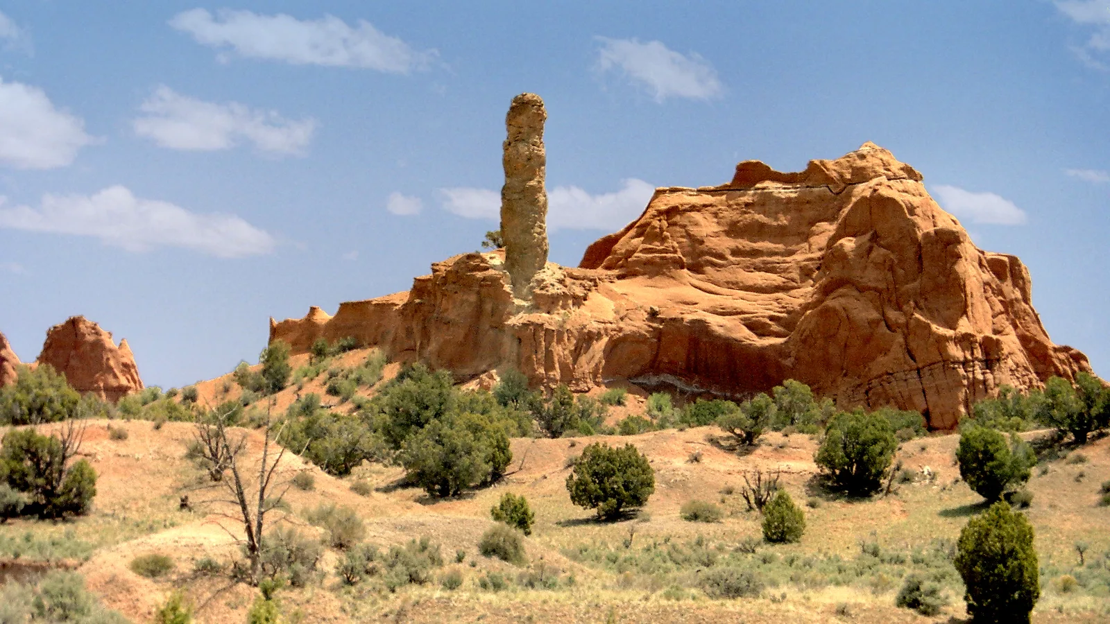
Kodachrome Basin State Park sits 65 miles east of Duck Creek Village, about 1 hour 40 minutes by car and 25 miles from the Bryce Canyon visitor center. Entry costs $10 per vehicle, the road stays paved all the way to the park, and October afternoons run about 10 degrees warmer than the Bryce rim.
Book the basecamp
When the trip idea is taking shape, Duck Creek Village Inn makes an easy base between slower mountain time and bigger Southern Utah days.