Trip Planning · Duck Creek Journal
Where Is Alton, Utah? The Kane County Town 19 Miles From Duck Creek Village
Alton is a Kane County town of 118 people at 7,041 feet, 19.4 road miles east of Duck Creek Village Inn by Highway 14, US-89 and Alton Road. Its creek runs to the Grand Canyon, its January matches ours, and a little girl picked its name out of a hat.
In this story
Alton is a town of 118 people (2020 Census) in Kane County, Utah, at 7,041 feet. From Duck Creek Village Inn it sits 19.4 road miles east, about half an hour: Highway 14 east to Long Valley Junction, US-89 south for 4.7 miles, then Alton Road east for 4.1 miles. The town sits in a basin called the Alton Amphitheater, near the head of Kanab Creek.
| Alton, Utah | |
|---|---|
| County | Kane, ZIP 84710 |
| Population | 118 people, 61 homes (2020 Census) |
| Elevation | 7,041 ft, about 1,400 ft below the inn |
| From Duck Creek Village Inn | 19.4 road miles, about 30 minutes |
| Incorporated | 1935 |
Alton shares a county with Duck Creek Village, and the two make an easy pair on a map. On the ground they sit on opposite sides of a drainage divide, they keep about the same January, and one of them has a coal mine on its edge.
The drive from Duck Creek Village to Alton
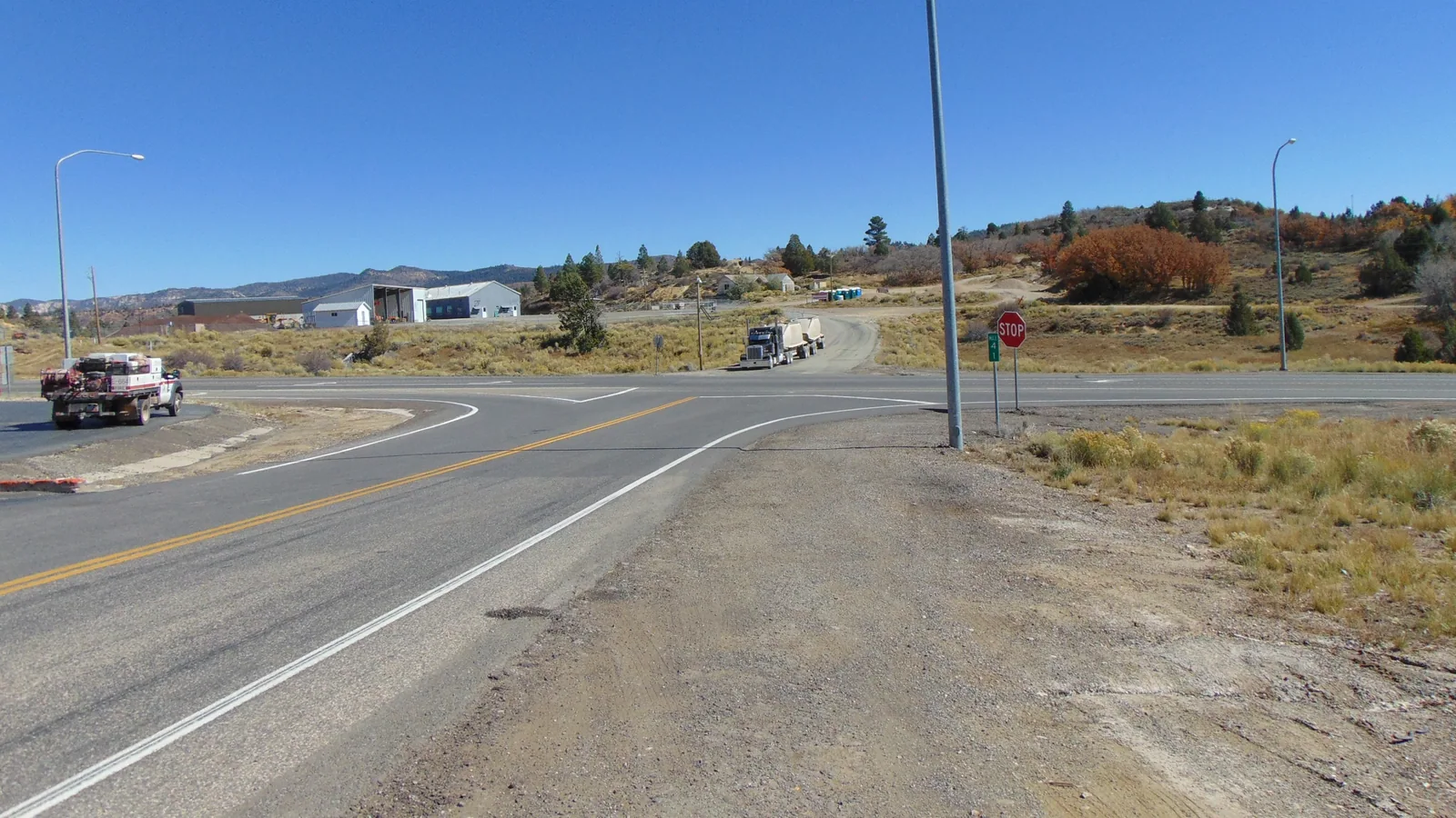
Leave the inn heading east on Highway 14. After 10.7 miles the highway ends at US-89 at Long Valley Junction, the intersection in the photo above. Turn right and run south on US-89 for 4.7 miles, then turn left onto Alton Road and follow it 4.1 miles into town. The road ends on Main Street.
| Leg | Road miles |
|---|---|
| Highway 14, inn to Long Valley Junction | 10.7 |
| US-89 south to the Alton Road turn | 4.7 |
| Alton Road into town | 4.1 |
| Alton to Kanab | 39.0 |
Some maps and older articles still put Alton on State Route 136. Utah moved that number to a road near Delta decades ago, and the state dropped the Alton designation by 1969. Look for the Alton Road sign on US-89.
Alton sits off the route you already drive to Kanab. The inn to Kanab runs about 50 miles on Highway 14 and US-89, and our Kanab guide covers that trip. Swinging into Alton and back out adds about 8 road miles.
Alton water flows to the Grand Canyon
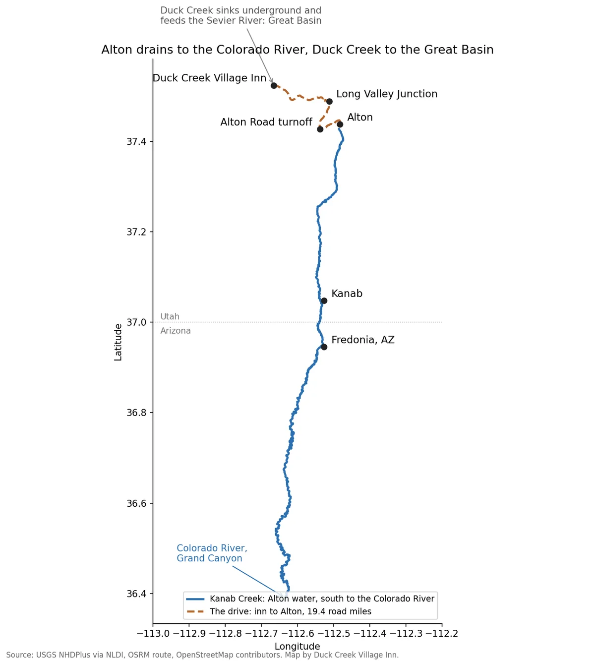
Kanab Creek rises at about 8,600 feet at the base of the Sunset Cliffs and runs just east of Alton. From there it heads south past Kanab and Fredonia, Arizona, and meets the Colorado River at 1,913 feet inside Grand Canyon National Park. The USGS stream network traces 111 channel miles from Alton to that confluence.
Rain that lands on the inn takes a different road. Duck Creek drops into sinks a few miles from the village, resurfaces in the Asay Creek springs and feeds the Sevier River, which ends in the Great Basin with no outlet to the sea. Two towns in one county, 19 road miles apart, drain to two different basins.
Weather in Alton compared with Duck Creek Village
| Alton, NOAA 1991 to 2020 normals | |
|---|---|
| January high and low | 41.3F and 17.9F |
| July high and low | 85.3F and 51.2F |
| Snowfall | 77.5 in a year |
| Snowiest month | February, 18.7 in |
| Precipitation | 17.3 in a year |
NOAA’s Alton station sits in town at about 7,100 feet. You would expect a place 1,400 feet lower to run warmer all year. Summer fits that: Alton’s 85F July afternoon beats the 78F to 81F we see at village height. January does not. Alton’s January high sits within two degrees of ours, and its January low lands right beside our 16F to 17F slope nights. Plan for the same winter clothes in both towns.
The 77.5 inch snowfall figure also matters to us. No gauge measures snowfall in Duck Creek Village, so our post on how much snow the village gets uses Alton as the low bracket.
How Alton got its name from a hat
The Utah state history office traces Alton to Upper Kanab, a settlement on the upper reaches of Kanab Creek. Lorenzo Roundy and his wife Susanna Wallace settled the site in 1857, and people called it Roundy’s Station. Settlers left in 1865 to strengthen Kanab and other towns, and some returned in 1872.
The town itself began after 1901, when Jonathon Heaton moved his family in and hired Lysander Porter to survey a townsite. Residents argued over Heatonville, Oaktown, Snowville and Klondyke. Charles R. Pugh had been reading about the Alton Fjord in Norway and proposed it for a high mountain town. The state history page puts the town at 7,200 feet; USGS puts its center at 7,041. Everyone put names in a hat, and two year old Gwen Heaton drew Alton. The town incorporated in 1935, and the federal Board on Geographic Names made “Alton Amphitheater” the official name of the basin in 1944.
The coal mine outside Alton
Coal Hollow is the strip mine outside Alton. On February 7, 2022, Utah’s Division of Oil, Gas and Mining stopped mining there in a dispute over its reclamation bond, and gave the operator until March 10 to post a $13.4 million surety or begin reclaiming the 1,017 acre site. At the time it was the one surface operation among Utah’s five active coal mines. We could not find a public source on the mine’s status after that order, so treat any claim about trucks on Alton Road with care.
Quick answers about Alton, Utah
- Is Alton in the same county as Duck Creek Village?
Yes. Both sit in Kane County. Alton uses ZIP 84710, and the village sits in a county corner of its own, under two miles from Garfield County.
- Is Alton on the way to Bryce Canyon from Duck Creek Village?
No. Bryce sits north of Long Valley Junction on US-89, and Alton sits south of it. The road to Bryce runs through Hatch instead.
- Does Alton, Utah get a lot of snow?
Yes. NOAA’s 1991 to 2020 normal gives Alton 77.5 inches a year, more than the 59.6 inches in Cedar City, with December through February bringing about two thirds of it.
- Is Alton higher than Kanab?
Yes, by about 2,100 feet. Kanab sits near 4,900 feet and Alton at 7,041, and the 39 road miles between them lose most of that height.
Our cabins in Duck Creek Village sit half an hour from Alton up Highway 14, at the high end of the Kanab Creek and Sevier River country.
 Trip Planning
Hatch, Utah: The Sevier River Town 23 Miles From Duck Creek Village, and What Stays Open in Winter
Hatch is a Garfield County town of 132 people on US-89, 23.3 miles and about 31 minutes from Duck Creek Village by Highway 14. It sits near 6,930 feet, where Mammoth Creek joins the Sevier River, on the drive to Bryce Canyon. Most of its kitchens shut after October.
 Things to Do
Where Does Duck Creek Start and End? The Spring, the Sinks and the Sevier
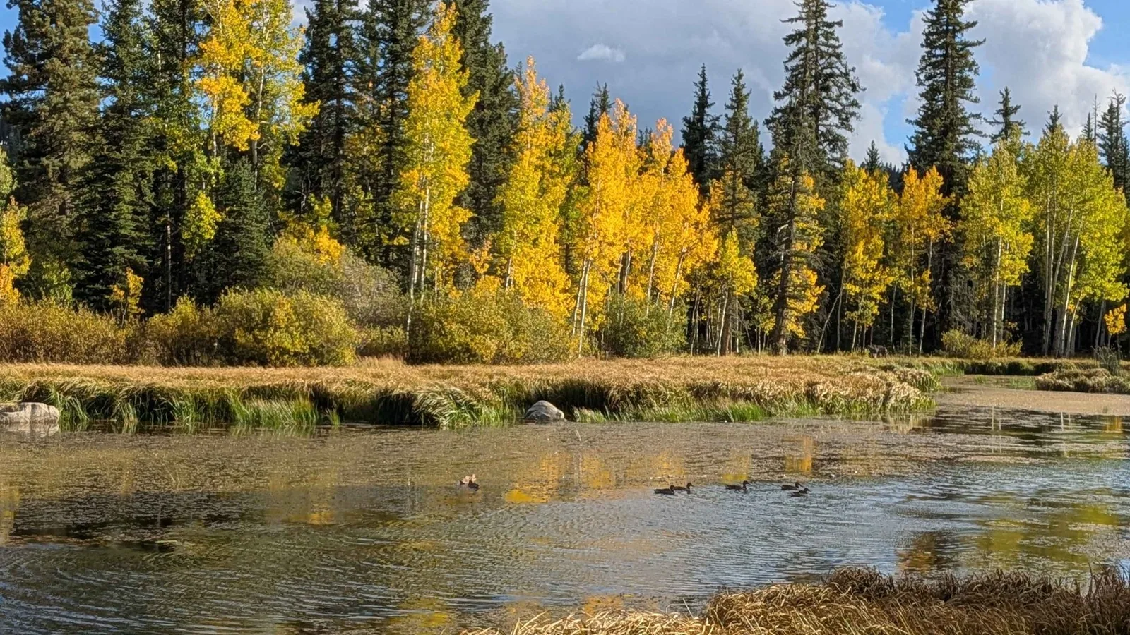
Duck Creek starts at Duck Creek Spring, a rise pool inside Duck Creek Pond at 8,550 feet, and runs about 3 miles east before the whole stream drops into the Duck Creek Sinks at the edge of the village. The water comes back up at Lower Asay Spring, joins the Sevier River and never reaches the sea.
 Trip Planning
How Much Snow Does Duck Creek Village Get a Year? The Gauges Below and Above It Say 77 and 215 Inches
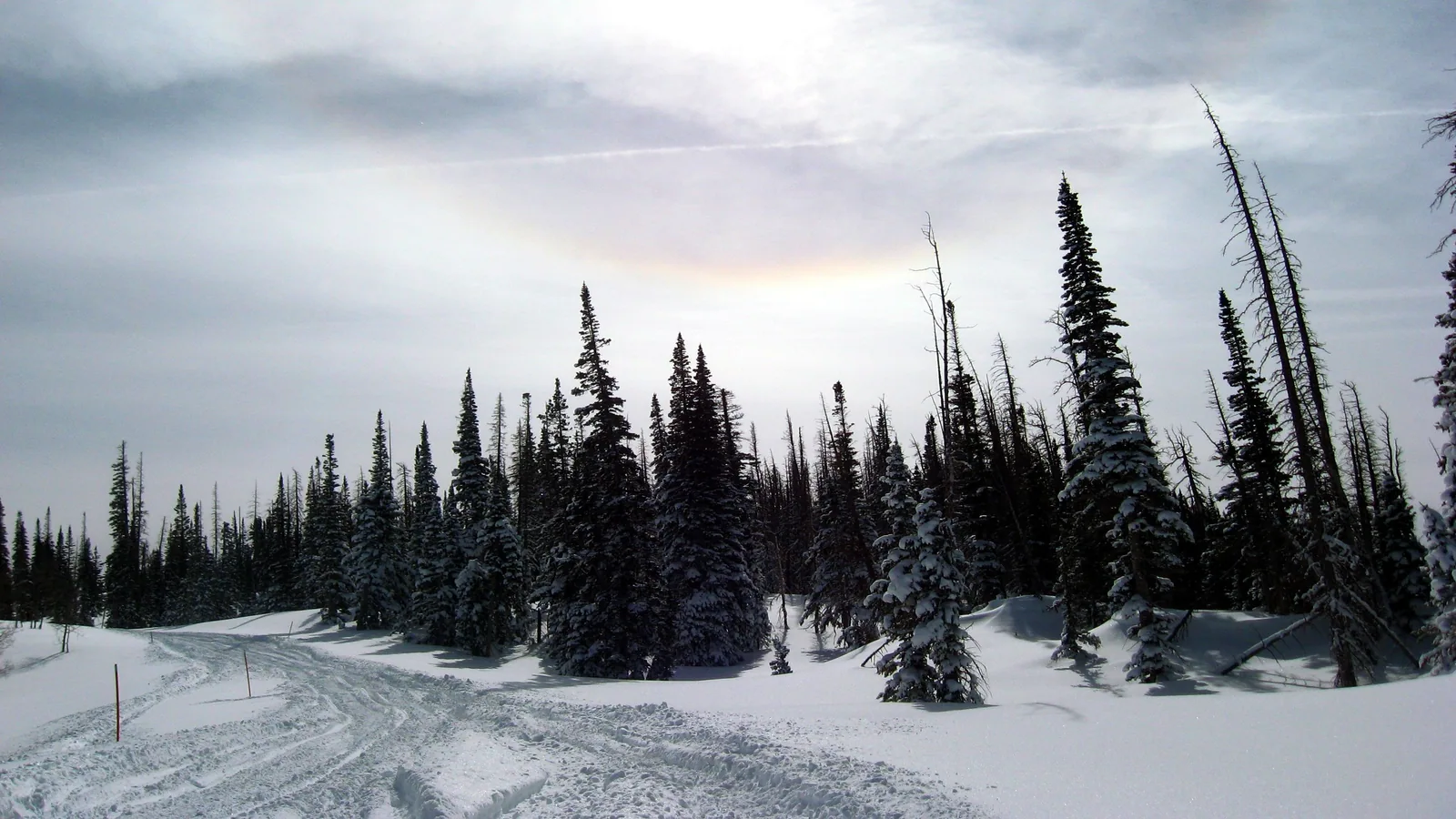
No gauge in Duck Creek Village measures snowfall. The two long NOAA records on either side of it do: Alton, 1,300 feet lower, averages 77.5 inches a year, and Blowhard Mountain, 2,300 feet higher, logged a median 215 inches a winter. The snow sensor nearest the village peaks at about 30 inches on the ground.
Book the basecamp
When the trip idea is taking shape, Duck Creek Village Inn makes an easy base between slower mountain time and bigger Southern Utah days.