Things to Do · Duck Creek Journal
Mammoth Creek, Utah: The Trout Stream North of Duck Creek Village, Running at a November High
Mammoth Creek rises near Brian Head at about 10,650 feet and runs some 26 miles east to the Sevier River at Hatch. Its closest water lies 7 miles north of Duck Creek Village. On November 2, 2026 the USGS gage near Hatch read 78 cubic feet per second, above any November 2 in its 62 year record.
In this story
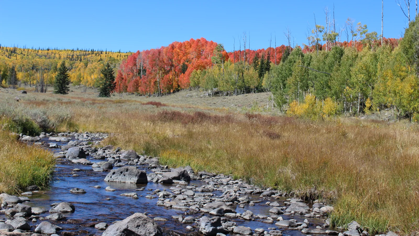
Mammoth Creek is a trout stream on the Markagunt Plateau that rises near Brian Head at about 10,650 feet and runs some 26 miles east to the Sevier River at Hatch, 6,924 feet. Its closest water lies 7 miles north of Duck Creek Village. On November 2, 2026 its USGS gage averaged 78 cubic feet per second, above any November 2 since 1965.
The creek starts at Mammoth Summit, crosses Mammoth Valley through Iron and Garfield counties, and carries wild brown trout and stocked rainbows. A forest road from the village reaches it in about 11 miles. For most visitors it is three things at once: a fishing stream, the back road to Brian Head, and a window into the water under the plateau.
| Mammoth Creek at a glance | |
|---|---|
| Starts | Near Mammoth Summit, about 10,650 ft |
| Ends | Sevier River at Hatch, 6,924 ft |
| Length | About 26 miles |
| Nearest water to the inn | 7.1 miles north, straight line |
| Gage | USGS 10173450, near Hatch |
Those figures come from the USGS stream network, traced from the gage up to the head and down to the confluence, with elevations read off the 3DEP map. Wikipedia rounds the length to “over 20 miles”. The creek falls about 3,700 feet from top to bottom, and the gage sits at 7,286 feet below a 105 square mile drainage.
Mammoth Creek Road from Duck Creek Village to the water
| Mammoth Creek Road | |
|---|---|
| Leaves Highway 14 | 1.2 miles east of the inn |
| Pavement | First 5.5 miles |
| Crosses the creek | About 11.2 road miles, 7,790 ft |
| Ends at | Highway 143 near Panguitch Lake |
Turn north off Highway 14 at the signed junction just east of the village. The road runs north through pine forest, passes the turn for Mammoth Cave, and reaches the creek before it meets Highway 143 near Panguitch Lake. Hancock Peak Trail crosses the same water near Meadow Lake, per the Forest Service.
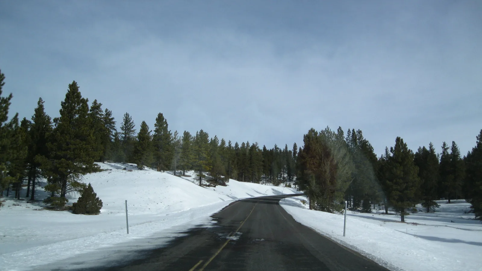
In winter this road becomes the short way to Brian Head after Highway 148 closes at Cedar Breaks. Our Brian Head driving guide puts it at about 35 miles and an hour and a quarter, against 61 miles through Cedar City and Parowan. It is a county road, plowed without a guarantee, and it can drift shut for days after a storm.
Fishing Mammoth Creek on the special regulation stretch
| Special regulation water, 2026 | |
|---|---|
| Where | Canal diversion upstream 7.5 miles to the end of Hatch Meadow |
| Limit | 2 trout |
| Size you may keep | 10 to 15 inches |
| Tackle | Artificial flies and lures |
The 2026 Utah Fishing Guidebook sets one special stretch on Mammoth Creek. It begins at a canal diversion about three miles upstream from the state’s Mammoth Creek Fish Hatchery and runs 7.5 miles up to the end of Hatch Meadow, where the summer home sites begin. Release every trout under 10 inches or over 15 inches on the spot. Outside that stretch, check the statewide rules in the guidebook before you keep a fish.
The hatchery sits on the lower creek near Hatch, and our Hatch post covers its whirling disease history and the dye test that tied it to the creek. For still water closer to the cabins, start with our Duck Creek fishing guide.
The water under the plateau feeds Mammoth Creek
Much of Mammoth Creek comes out of the ground. Mammoth Spring, east of Cedar Breaks, ranks among the largest springs in Utah, with flows from under 5 to more than 300 cubic feet per second. A 2012 USGS study found it supplied about half of the creek’s peak flow in 2007 to 2009 and most of its flow in every other season.
The surprise is where that spring water starts. Dye traced it back to sinking streams outside the creek’s own watershed, along Midway and Long Valley creeks and around Hancock Peak, up to 9 miles away and 1,900 feet higher. It traveled underground at more than a mile a day. Duck Creek drains the same way, into the Duck Creek Sinks, and resurfaces at Lower Asay Spring, which our Duck Creek source post maps.
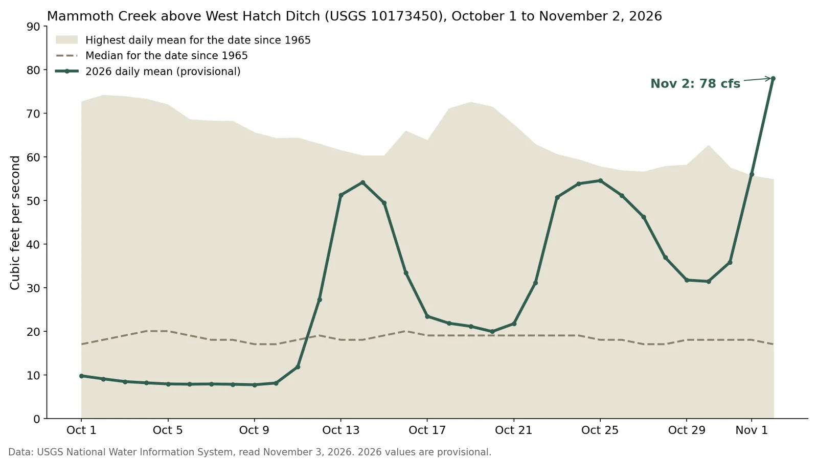
Mammoth Creek flow this week, against 62 years of record
| Mammoth Creek gage readings | |
|---|---|
| October 1 to 10, 2026 | 8 to 10 cfs |
| Median for early November | 17 to 18 cfs |
| November 1, 2026 | 56.0 cfs |
| November 2, 2026 | 78.0 cfs |
| Highest November 2 before 2026 | 54.8 cfs, in 2006 |
The creek ran at half its median through early October, then rose in three pulses starting October 11. The November 1 mean edged past the 2006 record for the date, and November 2 beat it by more than 20 cubic feet per second. At 10:45 am Mountain time on November 3 (12:45 pm Eastern), the gage read 124. For scale, the median peaks at 213 in late May, during snowmelt.
USGS marks every 2026 reading as provisional until review, so treat the record as a reading, not a final word. Our fishing report shows the live Mammoth Creek number next to the Sevier at Hatch.
Quick answers about Mammoth Creek, Utah
- Where is Mammoth Creek, Utah?
It runs east across the Markagunt Plateau from near Brian Head to the Sevier River at Hatch, in Iron and Garfield counties. Its nearest water sits 7 miles north of Duck Creek Village.
- What fish live in Mammoth Creek?
Wild brown trout and stocked rainbow trout. On the special stretch above the canal diversion, you may keep 2 trout between 10 and 15 inches, on flies or lures.
- Can you drive from Duck Creek Village to Mammoth Creek?
Yes. Mammoth Creek Road leaves Highway 14 1.2 miles east of the inn and crosses the creek about 11 road miles north, paved for the first 5.5 miles.
- Is Mammoth Creek Road open in winter?
The county plows it, but snow can close it for days after a storm. Check the Highway 143 cameras before you commit.
Our cabins in Duck Creek Village sit about a mile from the Mammoth Creek Road turn, close enough to fish the creek in the morning and be back in the village for lunch.
 Trip Planning
Hatch, Utah: The Sevier River Town 23 Miles From Duck Creek Village, and What Stays Open in Winter
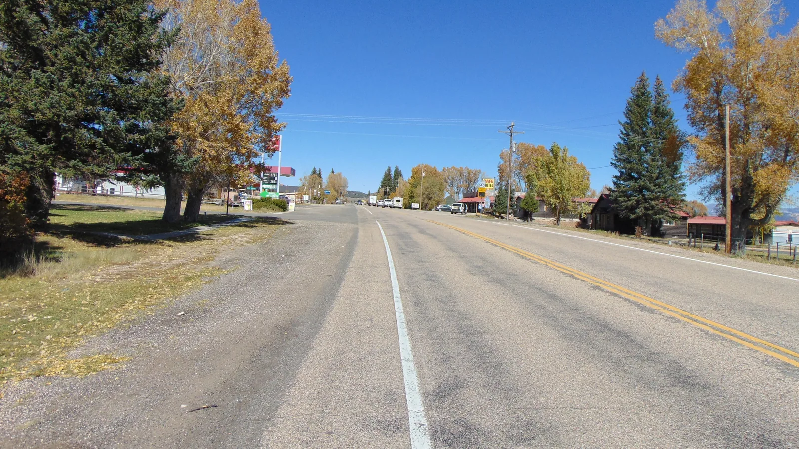
Hatch is a Garfield County town of 132 people on US-89, 23.3 miles and about 31 minutes from Duck Creek Village by Highway 14. It sits near 6,930 feet, where Mammoth Creek joins the Sevier River, on the drive to Bryce Canyon. Most of its kitchens shut after October.
 Things to Do
Where Does Duck Creek Start and End? The Spring, the Sinks and the Sevier
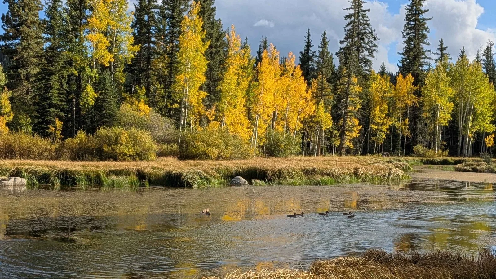
Duck Creek starts at Duck Creek Spring, a rise pool inside Duck Creek Pond at 8,550 feet, and runs about 3 miles east before the whole stream drops into the Duck Creek Sinks at the edge of the village. The water comes back up at Lower Asay Spring, joins the Sevier River and never reaches the sea.
 Things to Do
Mammoth Cave: Walking Into a Lava Tube 20 Minutes From Duck Creek
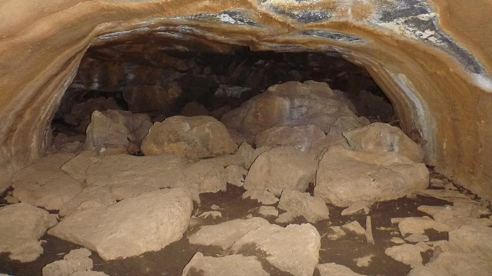
Not the Kentucky one, and not the Ice Cave. Mammoth Cave is a walk-through lava tube 20 minutes from the village, and it rewards a little planning. Here is the drive, the light math, the gate, and how to do it right.
Book the basecamp
When the trip idea is taking shape, Duck Creek Village Inn makes an easy base between slower mountain time and bigger Southern Utah days.